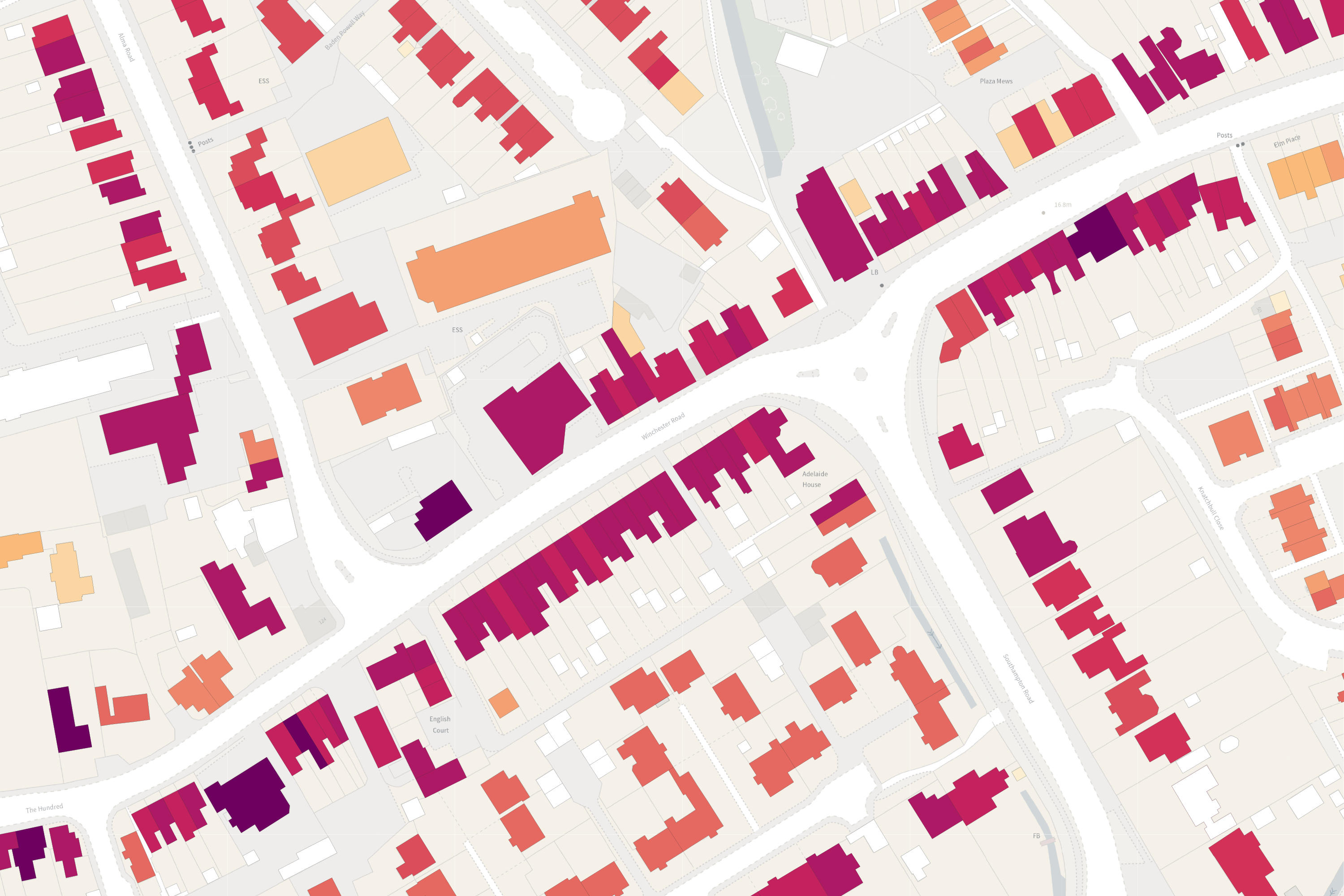
The OS NGD is a single store of all Ordnance Survey’s authoritative data for Great Britain. The OS NGD delivers the richer data you need for better analysis and our download service, OS Select+Build, makes it easier to find, package and analyse the data you need, such as address and building data for emergency planning.
Ordnance Survey National Geographic Database (OS NGD)
A single store of all our authoritative data for Great Britain
Data that works for you
With so much location data at your fingertips, we’ve made it easy for you to discover with a simple structure of themes, collections and feature types.
Preview data from the OS NGD and use OS Select+Build to download some of our sample data to get a flavour of what you could achieve.
Access our support and technical information
Visit the OS NGD Documentation Platform to get more information about how OS NGD data is structured, core principles, getting started information including videos and stylesheets, and code lists.
What’s new in the OS NGD?
We are regularly adding new data to the OS NGD as part of a scheduled roadmap for development. Find out about our latest releases and what’s coming soon.
"OS NGD contains excellent data which is easy to understand and interpret in GIS, complimented by good instructions."
How OS NGD data is structured
OS NGD data is different from our other products because it is accessed from one single source where you can find the data you need without having to download whole datasets. It also has a simpler data structure, designed to help answer questions, and develop more intelligent solutions, with quicker loading and implementation.
Geographic data of Great Britain is structured into nine themes. Each theme is made up of one or more collections, which in turn have feature types. And if you just need specific features within a collection, for example Organisation Name within Built Address, OS Select+Build and the OS NGD API - Features allow you to access only this data.
Discoverable data
The OS NGD data structure and categorisation makes the data you need easy to search, find and analyse.
Easy access
OS Select+Build lets you download just the data you need; OS NGD APIs provide online access via OGC standards.
Up-to-date
The data you rely on for crucial analysis, delivered with daily updates.
Improved connectivity
The OS NGD makes it easier than ever before to link, share, and analyse our data.
Access OS NGD data via the OS Data Hub
PSGA members and OS Partners can get direct access to the OS NGD through the OS Data Hub using our new download service OS Select+Build, OS NGD API – Features and the new OS NGD API - Tiles.
OS Select+Build and OS NGD APIs are available through the Public Sector Plan and Premium Plan on the OS Data Hub through the existing pricing and licencing frameworks for each plan.
"Using OS Select+Build for OS NGD data has really improved the process of ordering necessary data."
OS NGD products
OS Select+Build
Simple and direct access to the OS National Geographic Database (OS NGD). Source the data you want direct from the OS NGD and get a customised view of GB.
OS NGD API – Features
Perform powerful geospatial analysis. Filter the data to receive exactly what you need, as and when you need it.
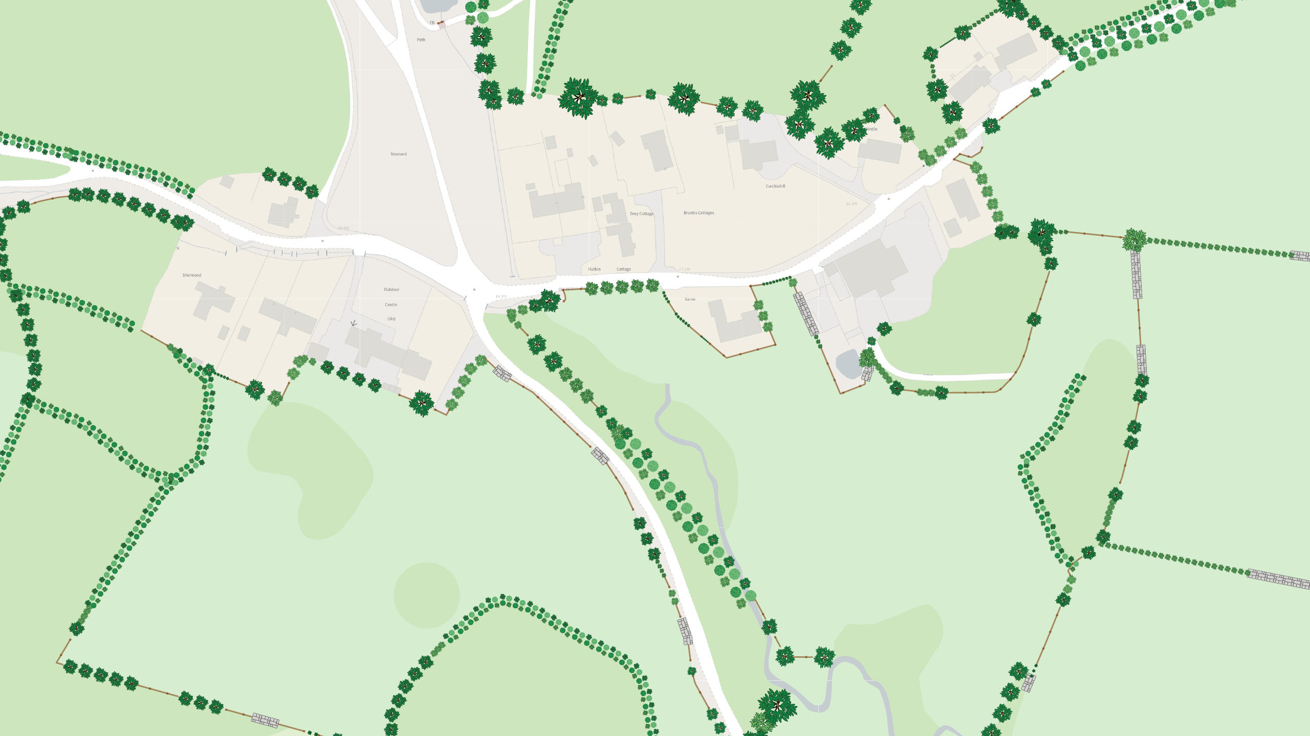
OS NGD API – Tiles
Create beautiful, responsive, and interactive vector maps powered by the OS National Geographic Database (OS NGD).