Challenge
Aviva has provided cover for many customers who previously found it hard to get property insurance – a result of the company’s long-standing investment in geo-technologies.
Their extensive use of GI Systems and geospatial information allows them to accurately and efficiently assess each customer’s individual circumstances – to offer the right price for the right risk.
Solution
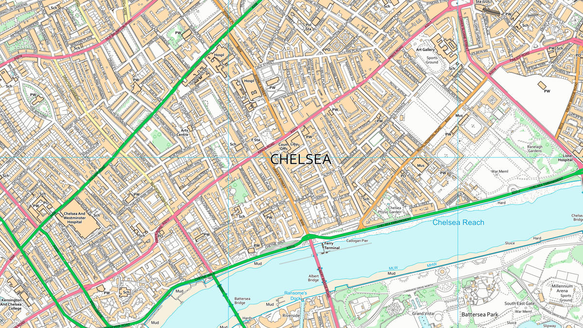
In the past, Aviva’s GIS team have used various OS raster maps to provide background mapping and geographic context. By switching to open source raster data and upgrading to OS VectorMap® Local, they can now drill down to individual building polygons and property boundaries.
Aviva are able to accurately locate and visualise individual addresses and important objects – from ponds to substations – without the need for postal addresses, using OS Address data and OS VectorMap Local.
The data is overlaid to achieve a greater level of risk evaluation at every individual home in Great Britain. This removes the need for averaging risk across postcodes – allowing Aviva to treat each customer individually.
Aviva has access to a wealth of internal data which can be geocoded and mapped to further enhance risk assessment. The GIS team use internal data such as claims, policies and branch locations within their spatial analysis. Third party data such as flood and other peril models, geodemographic data and digital elevation models are also used.
The team can now quickly and efficiently map and visualise these spatial datasets – allowing the business to identify spatial trends which would not otherwise be apparent. They are also able to view and analyse many different types of data from various sources within one system.
Result
Eleanor is excited about the future, saying, ‘Geo-systems are increasingly being used by non-GIS experts. The general population are becoming more familiar with GI systems and data thanks to systems such as Google maps, route planners and other location-based services which have become part of everyday life.’
This trend is now being seen in the commercial organisation where non-GIS professionals want to analyse their data not just via traditional spreadsheets and graphs, but by viewing their data on a map.
Eleanor concludes ‘I see this evolution happening within Aviva with the ability to view, interrogate and analyse spatial data being made more widely available throughout the business.’
"Moving to OS VectorMap Local has been a significant advance for us. From viewing only selected features and using the attribution we are able to model a number of scenarios for the business. As a customisable map we can provide multiple views and backdrops to support our work. For example, it allows us to view detailed topographic information such as individual building outlines and river networks. As an object-based vector product it allows us to calculate rating factors which help us to better understand individual risks."