Challenge
- Identifying and classifying local authority sites that have the potential to be re-developed for housing.
- Evaluating these sites against known constraints on their development.
- Producing a Strategic Housing Land Availability assessment (SHLAA) to include the above information.
- Writing the local plan to be more scientific, accurate and therefore more defensible at public examination.
Solution
The Strategic Housing Land Availability Assessment (SHLAA) is a requirement of local authority planning policy teams nationwide, so it makes sense to use the most efficient method possible.
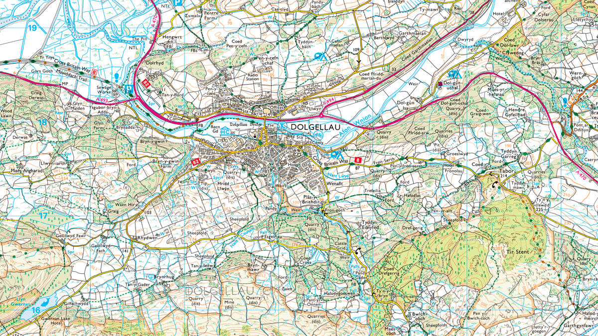
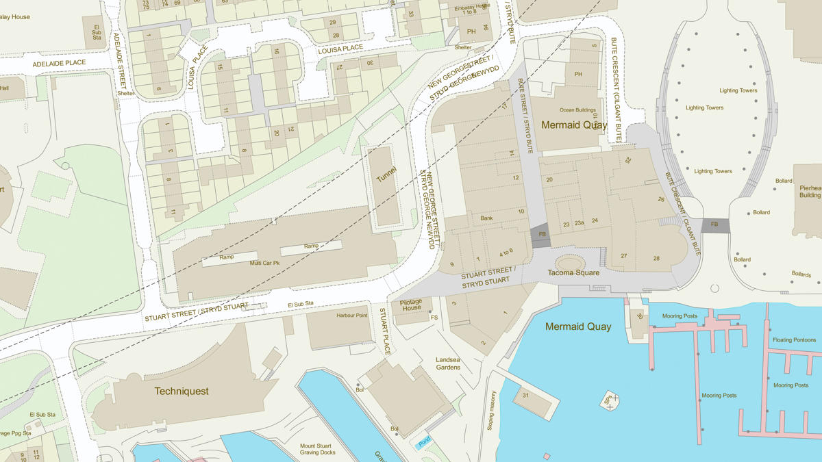
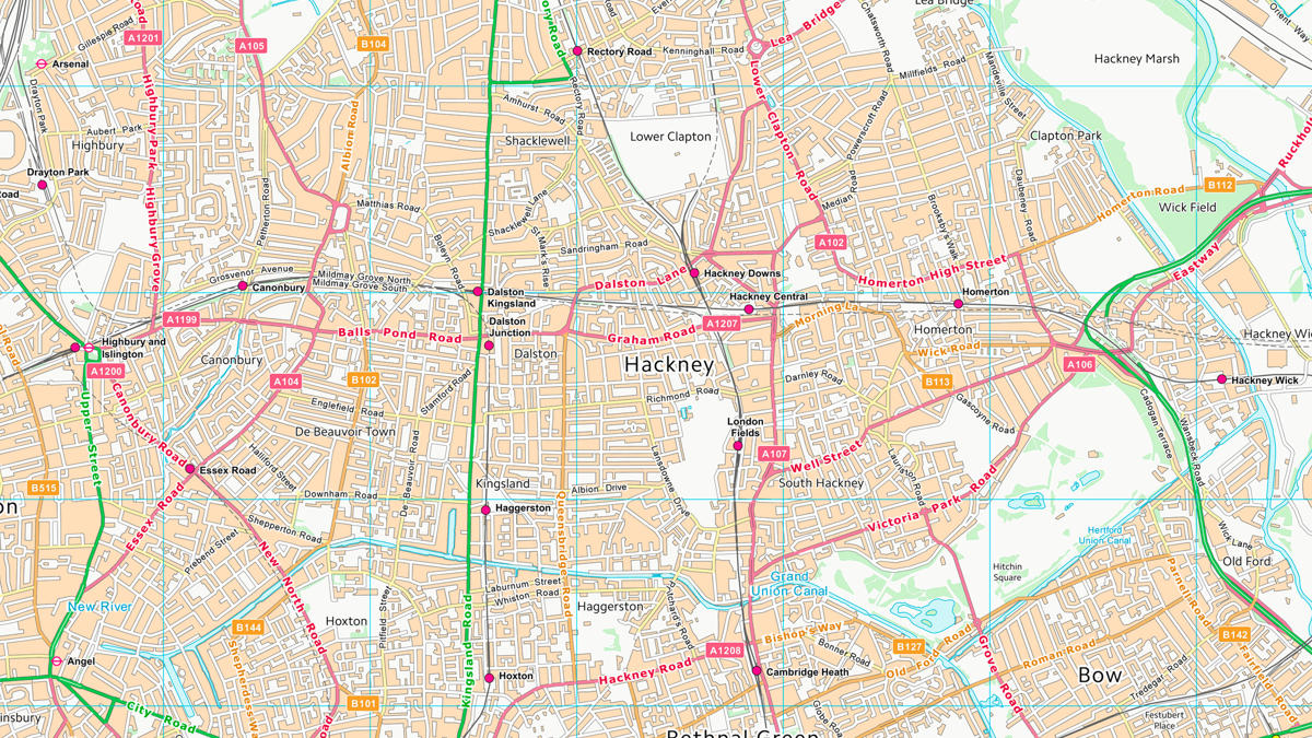
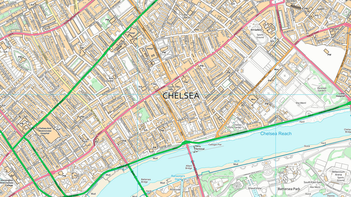
Using GIS, and datasets from OS, Broxtowe Borough Council overlaid its comprehensive database of SHLAA sites, including planning applications, developer submissions and public canvassing – onto the OS MasterMap Topography Layer.
The extent of the site is numbered and put onto this accurate map backdrop so officers can calculate constraints (such as flooding), deliverability and potential housing numbers on any identified site.
Sites are published online, with OS MasterMap Topography Layer for the public to quickly and easily view, filter and interrogate the information.
Result
- With GIS and OS mapping, the analysis takes just hours, saving the planning team up to six months of officer time.
- Information can be used throughout the whole planning process.
- Broxtowe Council was selected as a ‘pilot authority’ for creating a register of brownfield sites.
- Broxtowe Council can move forward efficiently and confidently to the plan examination stage.
- Public transparency and ease of use for local residents.
"OS Data is essential to provide accurate and up-to-date information on all of our sites and without this the finished document would be lower quality, would be much more difficult to extract information from, would be less user friendly and would add time, complexity and expense to our upcoming Local Plan Examination"


