Challenge
When former UK Prime Minister, David Cameron, pledged that all UK homes and businesses would have access to fast broadband by 2020 it was clear accurate network planning and implementation would be vital. As the UK’s biggest Internet Service Provider (ISP), BT needed to streamline its location data and infrastructure to keep delivering the best service to customers.
However, it faced a number of challenges:
- Staff were unable to load and view the most current Northern Ireland location data onto their systems, or project vector data accurately onto the British National Grid.
- The existing data infrastructure, which included information on ducts, kiosks, poles and cabinets, had legacy issues.
- Planners and engineers increasingly needed fast, reliable access to up-to-the-minute geospatial data.
Solution
Ordnance Survey (OS) has worked closely with BT for many years and together the team deployed the latest OS Maps API (Application Programming Interface).
Switching to the OS Maps API was quick and easy for BT. OS did everything, meaning no further technology, updates or coding was required on BT’s part.
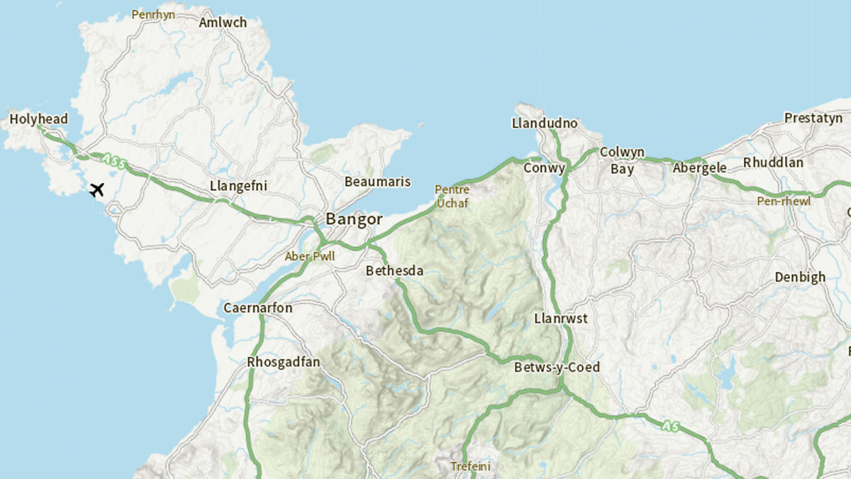
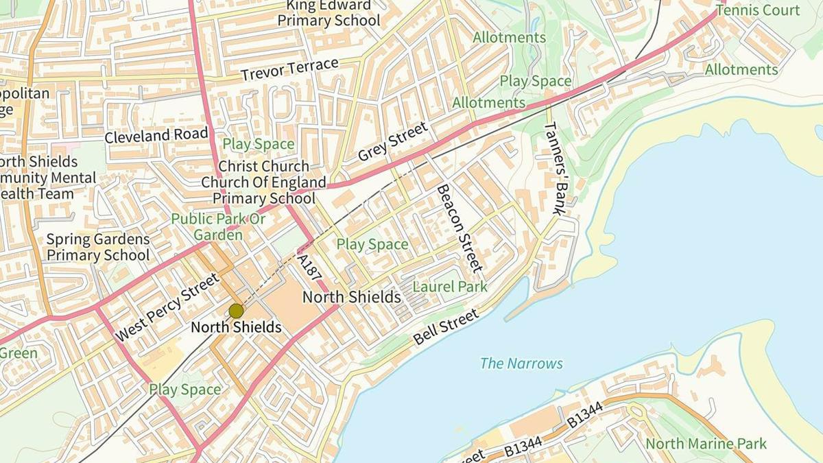
Deploying the OS Maps API meant that BT could now view numerous location-based data sets on a zoomable stack, including (for the first time) large-scale Northern Ireland data, raster and open data, contours, vegetation and settlements.
Underpinning BT’s asset management system with the OS Maps API enabled planners and engineers to use the very latest geospatial data in all their operations.
Result
BT planners and engineers now enjoy a much-improved user experience, deploying the most up-to-date geospatial data on Northern Ireland from the OS Maps API. They can now view assets and properties from the macro level right down to street level:
- Access to data is faster, more cost efficient and BT staff can easily overlay their own network information.
- It’s much easier to locate and manage assets and engineers in the field, reducing the likelihood of delays.
- OS Maps API now projects large-scale Northern Ireland data directly onto the British National Grid, lessening the need for BT to develop its own expertise to do this.
- OS Maps API web hosting service is now a critical part of BT’s infrastructure, underpinning many complex business decisions.
"To support the growing demand for more services and accurate inventory capture, BT was looking for a step change in how it received and consumed Northern Ireland map data. Ordnance Survey consultants worked closely with us to integrate the data – and best of all it required zero coding for us."


