Challenge
In 2017, HM Coastguard was called to over 22,000 incidents on, or just off the coast of Great Britain.
Responding to these incidents poses some key challenges:
- Callers often use nicknames for beaches, rocks and other areas that have other names on maps or don’t exist within gazetteers.
- Postcodes cannot help to identify precise locations.
- This can make the identification of incident locations difficult and slow at a time when time is critical.
Solution
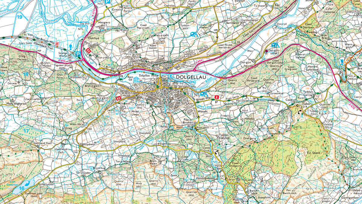
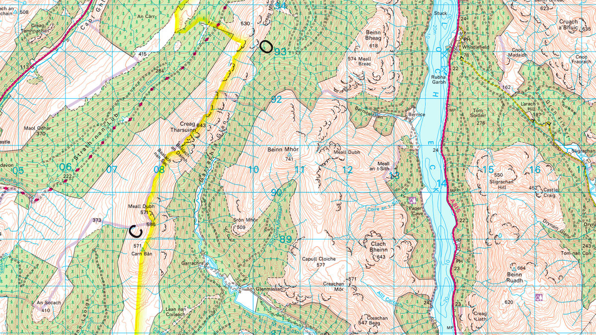
FINTAN is an Ordnance Survey crowdsourced vernacular gazetteer that references local names for various features and areas. It allows MCA staff to add local names for beaches, rocks, waterways and other features with nicknames onto the existing mapping data.
FINTAN includes 1:50 000 Scale Gazetteer, 1:25 000 Scale Colour Raster and OS MasterMap Address Layer 2 to form a search facility for the agency to use. It also permits the use of grid references alongside latitude and longitude, allowing the other emergency services that use different reference systems to work to a common geography and terminology so they all know precisely where the rescue should take place.
Result
FINTAN works alongside other sources of information used by MCA, such as tracking of mobile phone signals or radio signals, to provide a complete picture for staff locating where an incident has occurred.
The project began with staff entering nicknames for offshore rocks and islands against maps. It has now developed to an exceptionally useful website, allowing MCA to quickly identify locations in an emergency. From only having a rough idea of location and needing to search the map to confirm the right place, staff can now simply type in the location nickname and FINTAN and be told where it is.
The more data entered into FINTAN, the more useful it becomes. MRA staff enter new nicknames as they come across them and once they have been entered, all users can find them in the searchable database. For example, staff in the Maritime Rescue Co-ordination Centres (MRCC) at, Solent, Holyhead and Stornoway have been adding names for offshore rocks and nicknames for islands – such as Sausage Island (Ynys-las, Gwynedd), Dell Rock, off Stornoway, and many more.
"FINTAN allows users to find places that bit quicker using a mapping system that is accessible from all of our PCs. We have been able to reduce time significantly for no additional investment."