Challenge
Charging an electric vehicle can take considerably longer than refuelling a combustion engine. Different charge point types (slow, fast, rapid) can charge an electric vehicle partly or fully at various speeds, depending on the power rating, and will create additional demand on the electricity grid. It is expected that the majority of private ownership electric vehicle charging should take place at night, outside peak hours of electricity consumption.
It is therefore anticipated that there will be many charge points located on, or near to the property of EV owners, so it’s important to understand parking availability. Properties will generally fall into one of the following three categories,
- Off-street parking: the property has a driveway or garage.
- Adequate on-street parking: there is enough room for all or most vehicles to park within some specified short distance of the property.
- Inadequate on-street parking: there is not enough room for all or most vehicles to park within some specified short distance of the property.
Whilst some garage or off-street parking information may be found in HM Land Registry data or from estate agency information, there is no definitive existing dataset that quantifies residential parking availability for the UK.
Solution
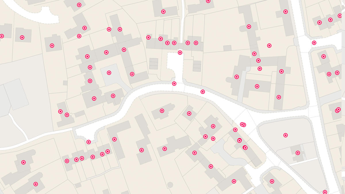
DfT undertook a viability study to develop a method for quantifying off-street residential parking. The study’s aim was to quantify the proportion of uncovered off-street parking in a residential 1 km2 suburban test area specifically concentrating on the front garden area of residential properties to determine if they may be used for parking and hence may accommodate a private EV charge point powered via the household electricity supply.
DfT used AddressBase Plus to identify point geometry for every residential address and linked this to the Topography Area (TA) building Topographic Identifier (TOID).
The Land Registry Inspire Polygons added additional information to describe property extents and link residential addresses to their gardens. The TA residential front garden polygons were overlaid with Aerial Photography Great Britain imagery, and a remote sensing vegetation index calculated to segment gardens into vegetation and manmade surface. Combining these datasets the team developed an algorithm to classify residential dwellings in the test area as ‘parking possible’ or as ‘no parking’.
Result
The project successfully demonstrates the viability of this method for identifying off-street parking on residential sites using vector polygons, raster images, geospatial analysis, remote sensing and image processing. It can now be developed further and potentially scaled up to a National Level.
At a National level it would constitute the first comprehensive dataset on this subject and contribute vital information to UK electric vehicle infrastructure planning including
- potential location/demand for private charge points (low power)
- by comparison location/demand for public charge points (mixed power ratings)
- informing improvements to electricity substations
"At a National level it would constitute the first comprehensive dataset on this subject and contribute vital information to UK electric vehicle infrastructure planning"