Challenge
Government and HMRC are committed to ensuring fair and equitable take up of Tax Credits across the country.
However, realising this presents the following challenges:
- Making sure the families and individuals eligible for Tax Credits receive the relevant funding.
- Identifying areas of high deprivation
- Identifying areas where Tax Credit take up is relatively low.
- Providing clear, visible and understandable Tax Credit information to those who need it.
Solution
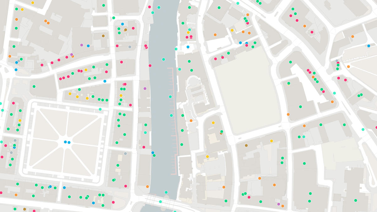
Mapping data from OS was used alongside internal mapping software from the HMRC Knowledge, Analysis and Intelligence (KAI) Directorate. The KAI team linked together core customer data from within HMRC, Indices of Multiple Deprivation data from across government and other third party datasets such as ACORN, Electoral Roll and Points of Interest data. This information was then overlaid on OS mapping data to pinpoint the target areas.
Result
- HMRC pinpointed certain parts of Birmingham and organised a targeted awareness campaign with a leaflet and letter drop.
- Community hubs were identified as channels to raise awareness further.
- More than 1,400 individuals were reached, resulting in an increased take up of Tax Credits, and also an increased awareness of other benefits such as Child Benefit.
- Overall, HMRC has improved the way it engages with its customers.
- The event led to 44 new Child and Working Tax Credit claims and 10 Child Benefit claims.
"OS data and mapping provided a clear way of presenting significant complex multilayered information in a way that the customer found easy to understand."