Challenge
Lockdowns in 2020 meant there was a rise in demand for home delivery – with Riverford Organic Farmers fresh produce orders doubling.
Riverford’s delivery drivers, who help to feed 80,000 homes a week, were using Addressclouds’ rooftop location data for deliveries. Although this provided the nearest road to an address, it didn’t always provide the nearest access to the delivery point. In practical terms, this meant drivers may not arrive at the ideal location for delivering produce, instead they would have to identify this themselves, resulting in logistical inefficiencies.
Solution
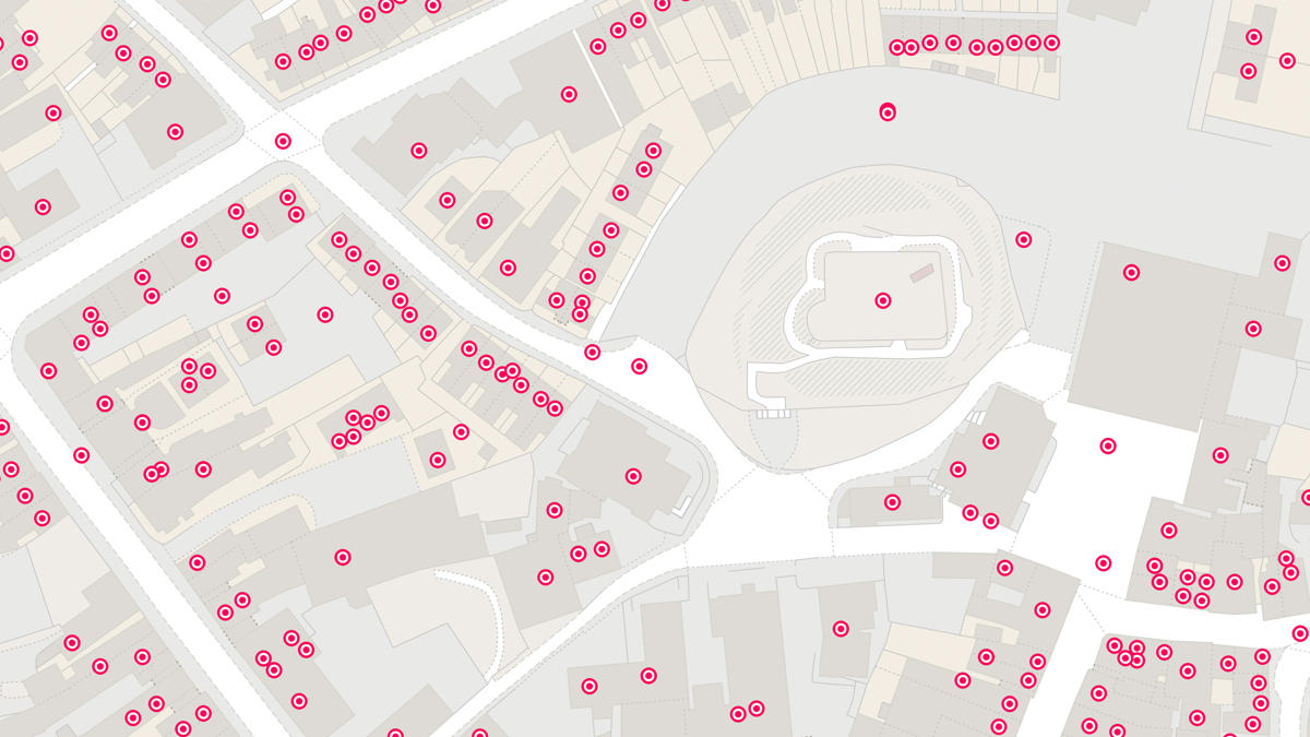
Addresscloud used OS Open USRN data alongside OS AddressBase, to introduce kerbside location accuracy for every property in Great Britain. This new service was turned around by Addresscloud in just two weeks.
Riverford delivery drivers say their routing has improved since trialling the service. Drivers now arrive by the nearest access point to the address from the road, thus making the delivery process smoother.
"Thanks to the newly available Open OS Products we’ve unlocked several successes. And this is certainly one of them…enhancing our geocoding service has been a huge win for our customers and delivered at pace…. The solution was created in under a fortnight!"
Result
The introduction of kerbside data means the time taken by delivery drivers to locate the access point to a property is reduced, due to the data doing it for them.
Having easy access to OS Open Data means projects like this one are quickly assembled by partners such as Addresscloud.
Discover how our accurate address data could help you deliver faster and drive profitability. Download our transport and logistics report today.
"Kerbside locations have been a real game-changer for our last-mile logistics…significantly reducing the time our drivers spend locating a property…as Addresscloud turned a problem into a solution."