Challenge
Maintenance undertaken in and by the City of London faces major challenges, including:
- The dense concentration of people in the City during office hours – commuters swell its population to 400,000.
- Every year in the City there are 400 road closures, more than 3,000 utility excavations and, at any one time, over 70 building sites in operation.
- Any work must be meticulously planned to minimise disruption to London transport and prevent gridlock on congested streets.
Solution
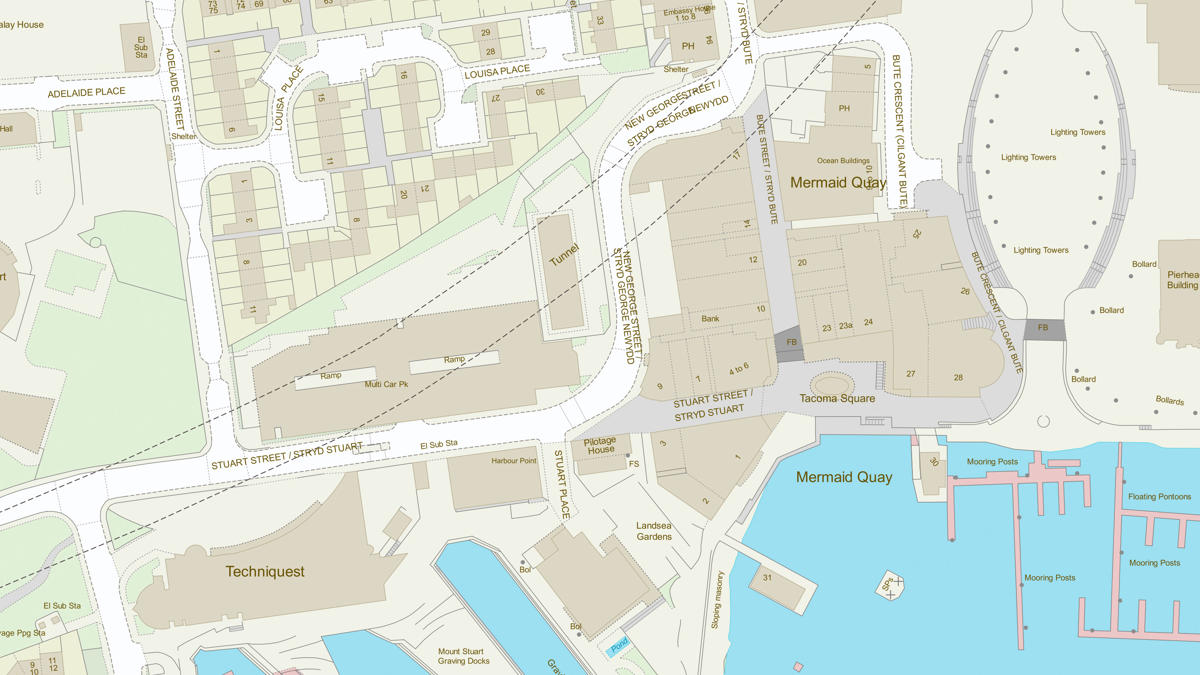
Every highways works job in the City is planned using a Microsoft Project file. Automated overnight processing combines it with a works extent polygon layer and a layer showing the impact area for the works. The resulting data lets the highways team spot conflicts arising from works in the same area.
By using OS MasterMap Topography Layer and Integrated Transport Network Layer, available under the Public Sector Mapping Agreement, the extent of works and impacted areas can be calculated to a sub-metre level of accuracy. This is essential, as even the smallest error in measurement could cause huge disruption for the City’s businesses and residents.
Before this system was introduced, organisation officers had no easy geographical representation of the extent of works or their impact, so it was difficult to compare short and long-term activities like resurfacing and major schemes. Local knowledge and experience, rather than hard data, guided decisions about which overlapping activities could go ahead.
Result
- New maintenance works can now be scheduled quickly and simply using the easy-to-use tool.
- Conflicts between works can be avoided.
- Money saved by cancelling resurfacing schemes on roads where major utility works are planned for a later date.
- Staff now have a much better understanding of the geographical footprint of those works, the level and extent of disruption they cause, and how those activities interact with each other.
- The various teams involved in managing street works are now co-operating more effectively.
- New recruits get up to speed quicker with the complexities of managing the City's road network.
- Senior staff and politicians can be briefed on the issues easily and concisely.
- Minimised disruption to commuter travel and the City’s important economic output.
"The new works planning tool has minimised disruption and streamlined the process for managing planned work in the City. Mapping data from the PSMA underpins the tool’s visual approach which makes it easy to use and useful for communicating complex issues with senior staff."