Challenge
The initiative aims to drive economic growth in Milton Keynes, one of the UK's fastest growing cities.
However, it faces a number of major challenges:
- Supporting sustainable growth in the town without exceeding the capacity of the infrastructure, and whilst meeting key carbon reduction targets.
- Developing innovative energy services through the creation of a state-of-the-art MK Data Hub while demonstrating business value for the energy sector.
- Making information about sustainable energy options publicly available so that residents and businesses become part of the decision-making process.
- Collecting, collating and analysing MK energy data from disparate sources about energy and water consumption, transport data, data acquired through satellite technology, social and economic datasets, and crowdsourced data from social media or specialised apps to create a living Open Energy Map.
Solution
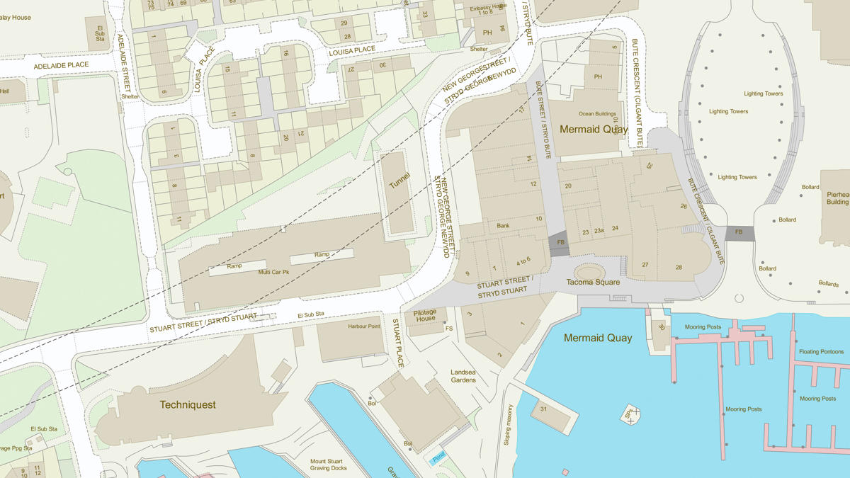
OS provided various geospatial datasets to be incorporated into an Open Energy Map (which was created by MK:Smart, with MK energy data being fed in and then shared).
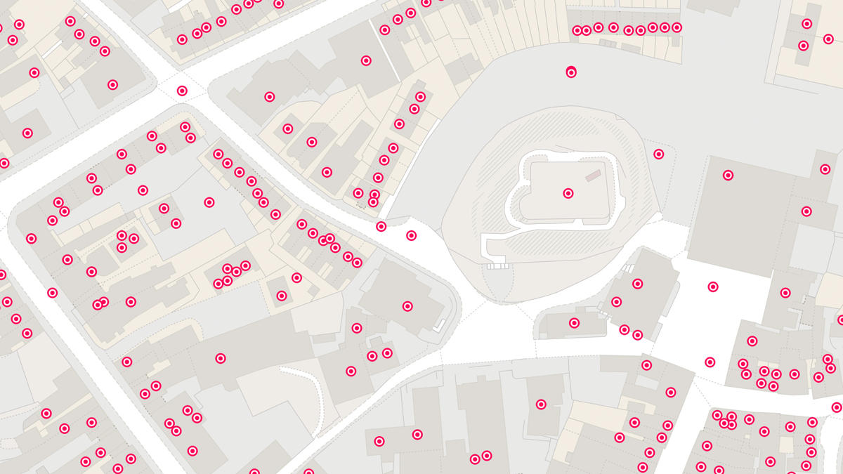
Large-scale mapping, satellite or aerial imagery as well as geo-referenced address data can identify which properties are suitable for various sustainable energy options.
For example, the first focus of the project included analysing the suitability of residential and commercial gardens for ground source heat pumps (GSHP), which extract warmth from the ground to heat radiators and water in the home.
Result
- Available garden space – without obstructions such as trees – can now be identified as potentially suitable for a ground source heat pump (GSHP).
- The suitable properties can then be attributed with address information and numerical data relating to potential yield from an installed GSHP and this dataset is fed into the Open Energy Map.
- Local residents and businesses can access the Open Energy Map from the council website to see if their property is suitable for GSHP installation, as well as the potential yield.
- The Open Energy Map will provide contact details of local installation companies.
- As new datasets are created – such as for solar roof suitability – these will be added to present a range of options for any given property.
"OS MasterMap Topography Layer was the only viable source for property footprint and boundary extents that could deliver on the required currency and accuracy for the building to garden ratio calculation."

