Challenge
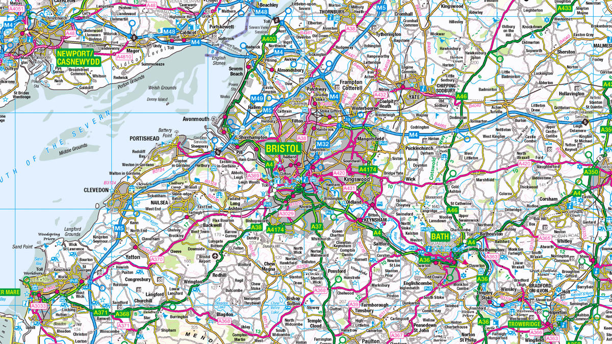
- The council was receiving around 3,000 planning applications every year, with at least half of these being invalid. Responding to invalid applications took, on average, the time of two full-time employees.
- The team also received, on average, more than 10 calls each day, asking which planning permissions were relevant to the applicant’s area.
- Further resources were being spent on additional daily planning application queries - such as whether a particular site was subject to a designation.
Solution
Highly detailed OS location-data allows applicants to see which aspects apply to them – reducing the number of invalid planning applications.
From listed buildings, to flood zones, to areas of outstanding natural beauty – it’s easy for applicants to get to grips with their area, and therefore, their planning applications.
Result
OS geospatial data helped North Somerset Council save both time and money, by making it easier for people to submit valid planning applications.
By combining the council’s standard interactive mapping application with a range of OS location datasets (supplied under the Public Sector Mapping Agreement), the council saved their resources. All data is automatically updated every evening.
Using the map legend on the council’s website, applicants can now simply select the checks they would like to make (whether there are any Tree Preservation Orders, for example) to make sure their planning application is valid.
"The constraints mapping system has been a great success. Feedback from planning agents and members of the public is extremely positive. And the number of invalid applications continues to fall as more and more people become aware of the system."