Challenge
- Northumberland County Council, like all local authorities, is under increasing pressure to recycle garden waste and reduce the amount it sends to landfill.
- When the council became a unitary authority, it inherited the waste and recycling processes of six former district councils. This led to inefficient waste collection rounds being maintained, which in turn led to higher than necessary fuel costs and CO2 omissions.
- A review of the council’s garden waste services revealed different charging rates, low service take-up and a sign-up and payment process which needed updating.
Solution
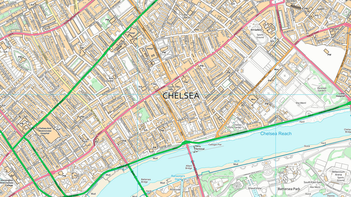
The collection process was simplified by removing the council’s inherited district council boundaries. Using OS mapping data, alongside route optimisation software, the collection routes were made as efficient as possible.
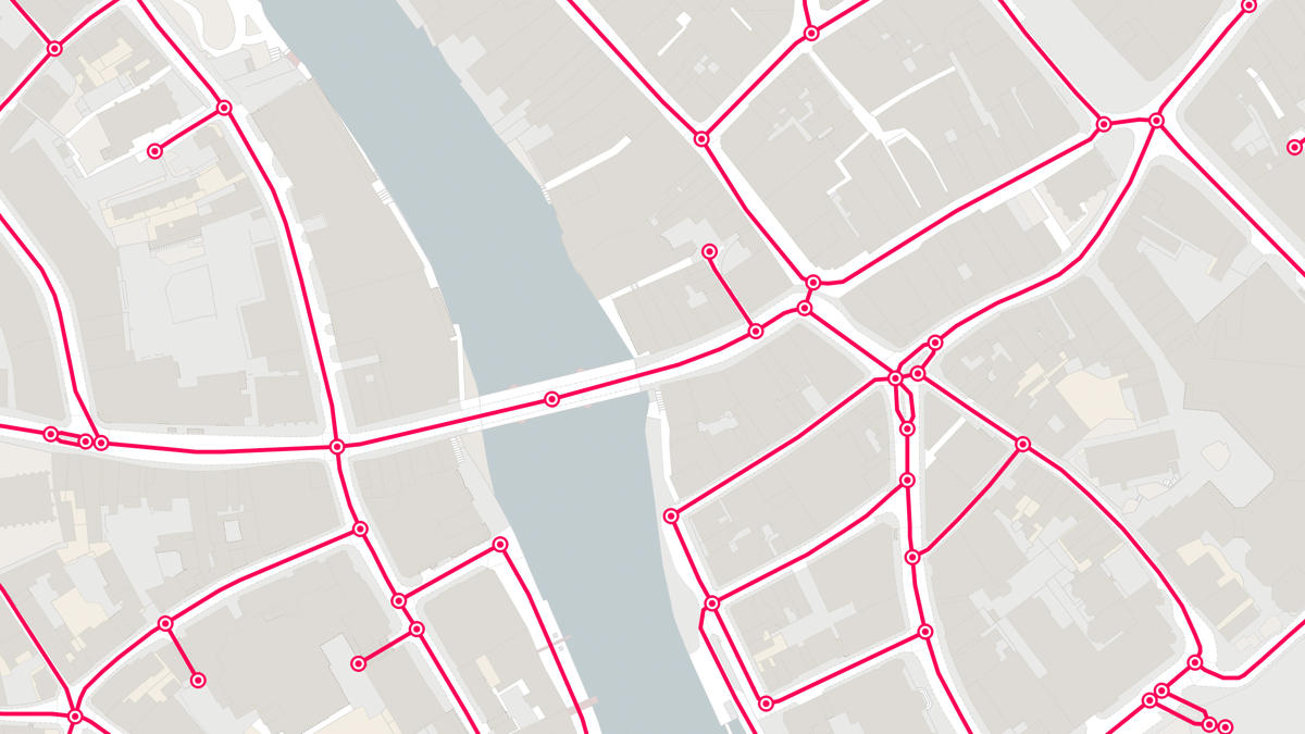
Central to the process was OS MasterMap Road Network data. The data is supplied free at the point of use to all local authorities under the Public Sector Mapping Agreement (PSMA). OS data includes road routing information, such as turn restrictions and no-entry instructions, impacting where and when a waste collection vehicle can travel.
The council’s Local Land and Property Gazetteer (LLPG) was also used to identify the location of all homes using the garden waste collection service.
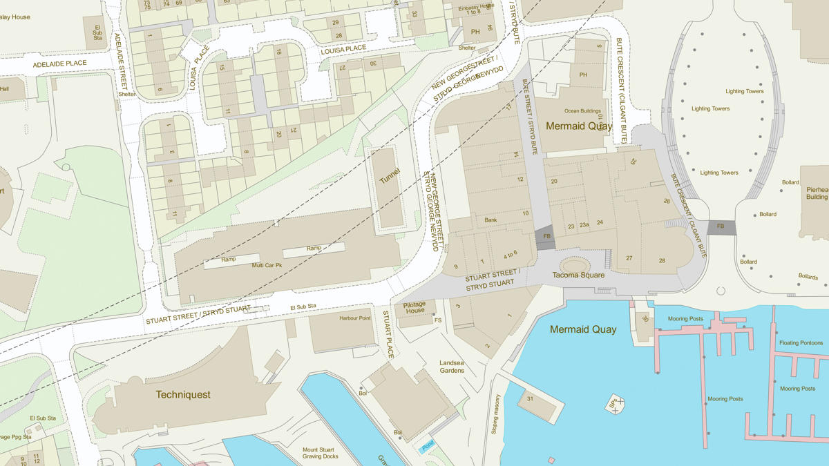
Other OS products, such as OS MasterMap Topography Layer, helped make sure that properties were served with the most effective waste collection route possible.
Result
- Optimised vehicle routes have delivered savings in excess of £200,000 per year.
- Reduced distance travelled of council vehicles by 1,700 miles – decreasing CO2 emissions by 9.15 tons every year.
- Greater take-up of the garden waste service has increased the council’s financial revenue – and means more waste is being recycled.
"This is a great example of using data available under the Public Sector Mapping Agreement and the latest technology to deliver a cost-effective service to the residents of Northumberland County Council."


