Challenge
ONS wanted to put its growing number of datasets into geographic context so that it was easy to understand and relevant to users.
However, aligning this information with ever-changing administrative boundaries was a significant challenge, as was encouraging take-up and ensuring any solution would remain relevant with the addition of new datasets.
Solution
Using Ordnance Survey data, including OS MasterMap Topography Layer, ADDRESS-POINT and Boundary-Line, ONS first created Super Output Areas to reference hundreds of datasets by location. All are of a similar size, have a specified minimum population and, wherever possible, sit within administrative boundaries.
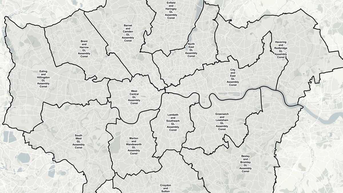
Super Output Areas provide consistent geographic boundaries for the collection and analysis of statistics at neighbourhood level and are used to underpin the Neighbourhood Statistics (NeSS) web service. Presenting this information against different scales of Ordnance Survey raster backdrop mapping provides an immediate, familiar geographic and administrative context for users.
NeSS enables meaningful statistical analysis between different places over time – regardless of shifting administrative boundaries. Data from different sectors can be reused to inform all areas of life at the neighbourhood level.
On entering the postcode, members of the public can get a summary report about any neighbourhood in England and Wales, covering topics like health, crime, demography and economy.
Result
- Presents complex statistical data for all local areas in England and Wales in a way most people can understand, underpinned by mapping from the PSMA.
- Enables the first national, coherent, very small area statistical analysis.
- Widens the use of government data in many new applications, particularly through the addition of the NeSS Data Exchange, which provides interoperable data.
- Established NeSS as an authoritative source of sub-national statistics with more than half of customers perceiving it as the place to find data and derived statistics.
- Saves customers money as they do not have to process or publish data themselves.
- 87% of customers are satisfied with the service.
"Official statistics are now accessible to the general public."