Challenge
SCAS needed help identifying COVID-19 emergency areas of concern and to give early warnings for future planning for emergencies. SCAS also needed to integrate data from a variety of sources and be able to easily share ideas with related services to ensure that our patients were able to get the most appropriate care.
Solution
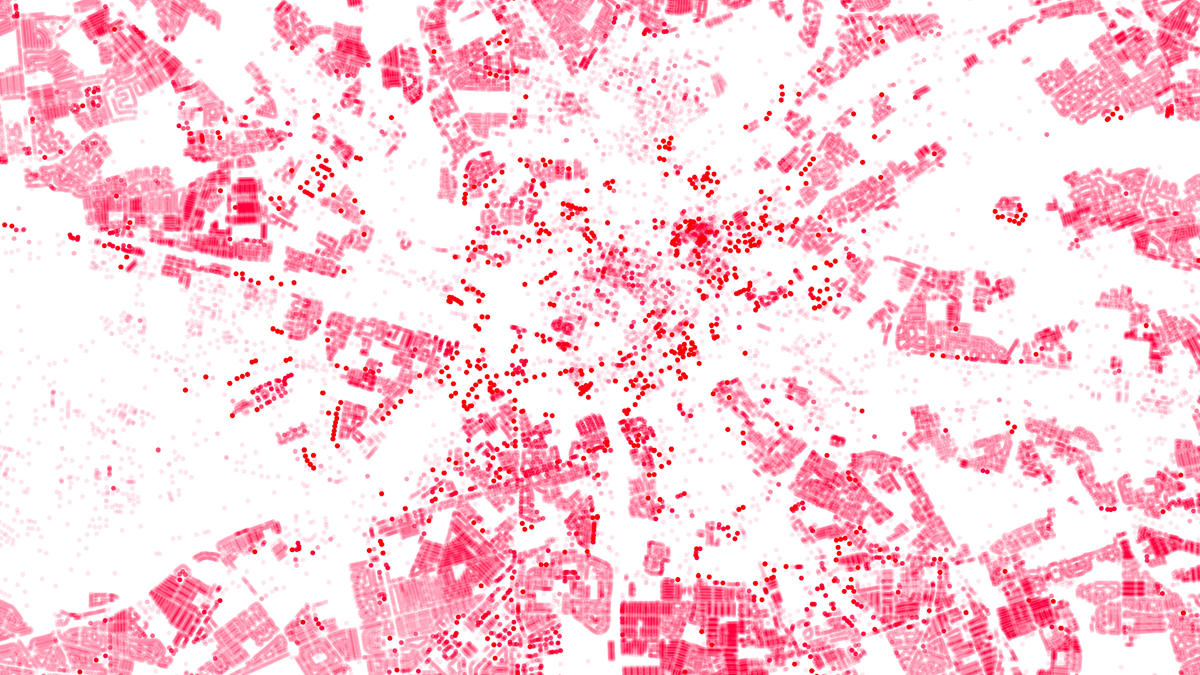
Ordnance Survey used a combination of Boundary-Line, AddressBase and OS MasterMap Topography Layer with Building Heights to create location data sets visualised in thematic maps.
AddressBase data identifies individual properties and locates them on a map used with OS MasterMap Topography Layer with Building Height attribute, you can visualise buildings on a map in 3D with precision. Our Boundary-line data brings this to life by showing differences across regions with shaded maps.
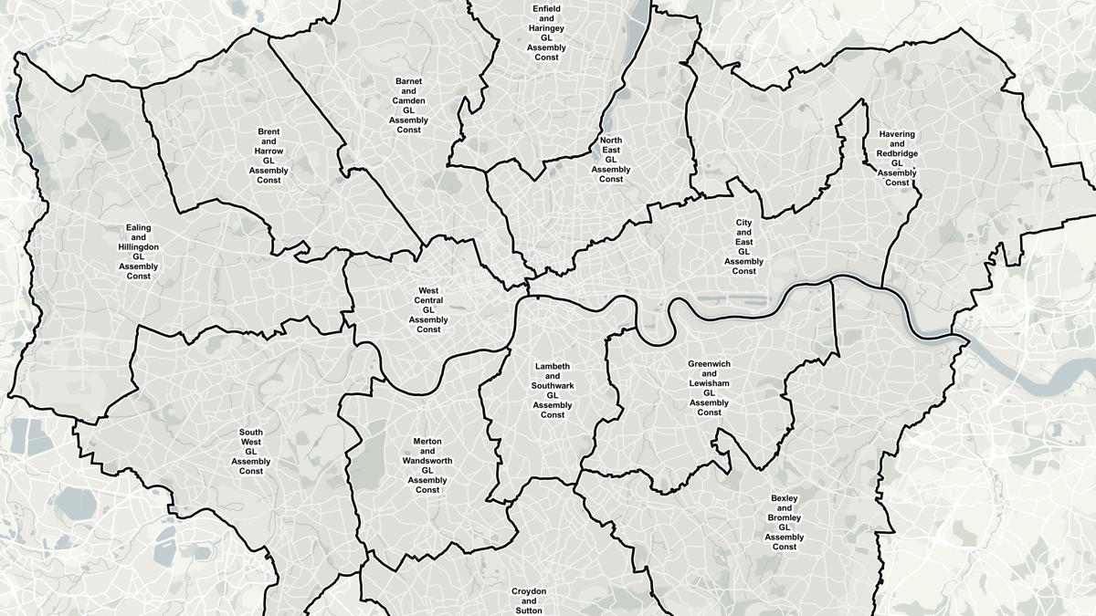
An important part of the solution for SCAS was to ensure the data visualisations provided enough detail to plan for the future, but were simple enough to share with related services. The easy-to-read data visualisations provided insight to help identify areas of concern across Hampshire, Oxfordshire, Berkshire and Buckinghamshire.
Result
The use of thematic maps from Ordnance Survey meant SCAS had clear maps showing what was unfolding, this insight meant the trust could identify high demand areas and place resources accordingly. This enabled the service to get to patients as quickly as possible and gave the ability to forecast demand.
South Central Ambulance Service is now even better positioned to respond to emergencies, helping them continue their heroic response to COVID-19.
"Fast insights means that we are able to get to patients as quickly as possible when they need us most, enabling us to start that vital care and potentially save lives. We’re looking forward to seeing how further OS location services can help us in our emergency response."