Challenge
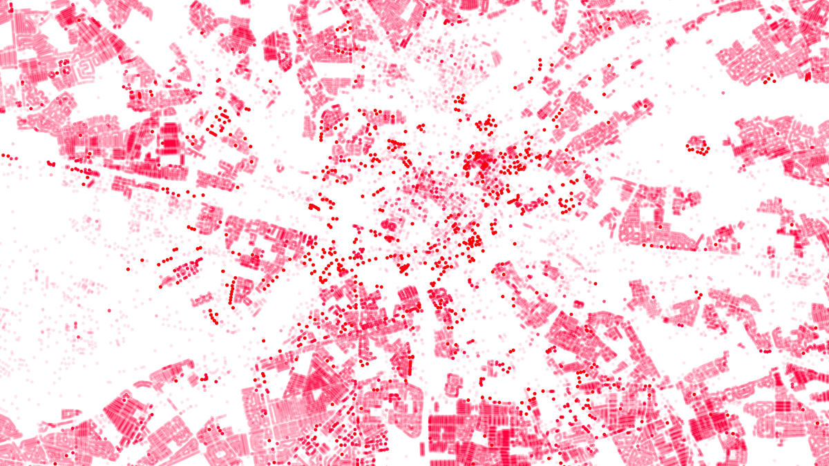
But what if the data comes from multiple sources and in different formats? In the case of Scotland’s planning and environment information, we’re talking about 32 local authorities and two national parks, each generating data in different ways and formats.
With disparate datasets, that are difficult to combine, it becomes time consuming and costly for anyone trying to get information quickly. Valuable insight on how to improve local services is lost. With local authorities under pressure to improve these services when budgets are being reduced, the challenge becomes greater.
Solution
To make it easier and faster to access and use this crucial information, a spatial hub was built to centralise and structure the data. By removing the hassle of combining datasets from multiple sources, the value in the data is unlocked, leading to more efficient public services.
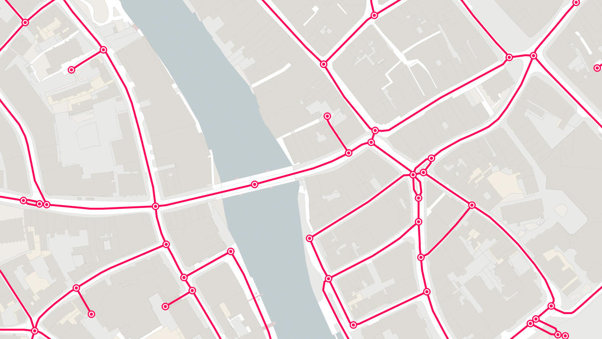
The simplest way for combining data from local authorities is through location. Common identifiers such as UPRNs and USRN’s are used to link data and join up information.
Another solution to supporting easier access to the data, is by removing licensing barriers. The presumption to publish process and PSGA licensing freedoms allow local authorities to publish more of their data free from any licensing restrictions.
"I think the aim of the Spatial Hub is great. The challenges of collating and maintaining data from all local authorities are considerable, and you are providing a hugely valuable service by taking this on."
Result
The result for local authorities is they can get on with the business of providing efficient local services, instead of being caught up with time consuming data crunching. And it provides information on a national scale because the spatial hub combines data from across the entire country.
The other benefit is exposing valuable data to wider audiences. Access delivers growth for the economy. Innovative start-ups can use the information for clever ideas to improve services in areas such as housing, property and waste.
The success of Scotland’s Spatial Hub has led England and Wales to consider a similar hub for their local authorities.
The power of location when used to create easier access, use and sharing of data, is providing clear benefits for Scotland’s local authorities and wider economy.
"Local authorities have a wealth of spatial data but its under-used and valued because it's trapped in silos. The Spatial Hub allows us to take the individual authorities data, cleanse it, and make it widely available as national datasets for the whole public sector. Thanks to Ordnance Survey, its value is now being realised."