Challenge
Trees falling onto the lines can cause interruptions to the power supply. SSE needs to easily locate and predict where trees fall on power cables, even in extremely remote places.
SSE needed a solution they could rely on for effective location-based decision-making.
Solution
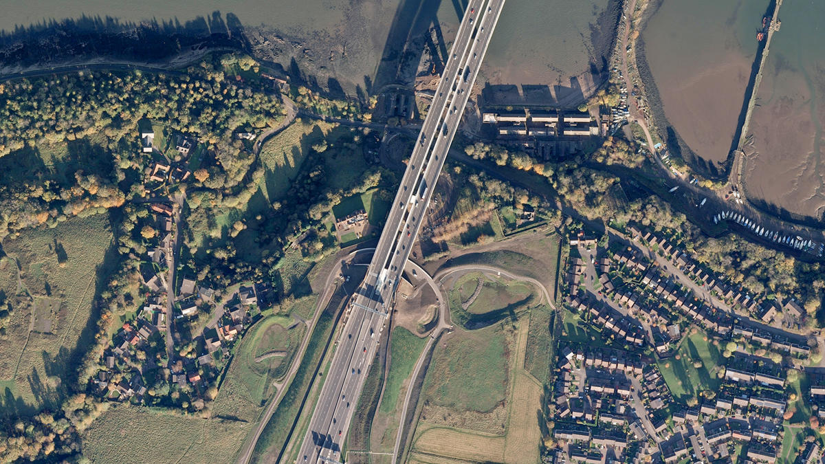
SSE realised that the OS MasterMap Imagery Layer offered a solution. With extensive, up-to-date coverage of the entire country, the imagery enabled a great deal of additional contextual information to be analysed simultaneously, allowing SSE to discover problems in a more cost-effective way than laying new power lines.
Because our Imagery Layer is quality assured, colour balanced and orthorectified to the highest standard, it provides a seamless picture of Great Britain with pinpoint accuracy and in high detail.
This helps with everything from increasing the accuracy of site planning and development, to monitoring the environment, security and risk management.
Result
- Pre-planned desk analysis reducing the number of site visits required.
- Significant reduction in flying lines and costs.
- Reduced risk of unforeseen site problems.
- More accurate analysis of way leave payments to landowners.
- Vegetation management complies with regulatory requirements.
- Asset maintenance prioritisation delivering greater efficiencies.
- Identification of risk to assets, specifically poles and cables.
- Environmental responsibility and land management.
"OS MasterMap Imagery Layer helps with everything from increasing the accuracy of site planning and development, to monitoring the environment, security and risk management."