Challenge
NHS England needed to identify and prioritise potential vaccination sites. These sites needed to be chosen carefully to ensure comprehensive geographic coverage and meet the logistical challenges involved in the rollout. For example, the Pfizer vaccine needs to be kept at minus 70 degrees centigrade or colder, which requires special storage.
The Government’s priority list for the rollout of the vaccine was predominantly dictated by age and vulnerability, so NHS England needed to know how far people would have to travel to their nearest vaccination site, and that they were accessible by public transport.
To meet the Government’s target of offering all over-18s in England a first vaccine dose by 19 July, time was critical. It was imperative to use accurate and reliable data to ensure high quality analysis.
Solution
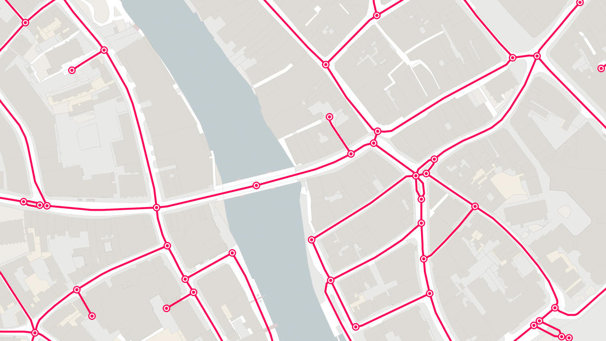
OS Partner, Basemap, is a specialist provider of digital mapping, travel time analysis and transport data solutions. Combining OS MasterMap Highways Network road data with Basemap’s bidirectional average speed data gave NHS England the tailored, detailed data they needed to identify much more accurate journey times from population centres to proposed vaccination site locations.
Basemap’s average speed data is collected from in-vehicle GPSes throughout the day, and linked to OS road network data, it provides average speed data for both sides of the road. Having this enhanced level of data was crucial, as factors like direction of travel can make a big difference to journey times, especially during busy periods where people are travelling to work or school.
NHS England was able to calculate contours of travel time bands to visually represent travel times and the number of people who lived within those bands. This meant they could identify how many people could reach each proposed vaccination site, and how access could be ensured for those who couldn’t.
Result
Our partnership with Basemap has enabled NHS England to draw on our combined expertise and specialist data to cross-check local plans and identify potential gaps and overlaps in the vaccine rollout – to support efficiency and allocate resource where it’s needed most.
By including demographic data and local information in their analysis, NHS could also identity which sites were better suited to different population groups, with delivering vaccines in familiar and convenient places a key element in building trust.
"Basemap’s support allowed the combination of real average speed data with OS Highways which meant we had much more trust in the results. This ensured quick and accurate reports that supported better decisions being made about the rollout."