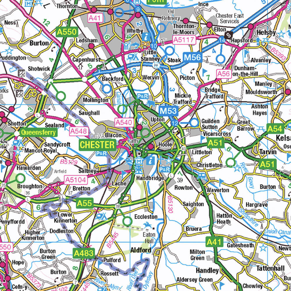
Once your organisation is registered as a member of the PSGA, OS technical information and expertise is available to support you. We can help with everything, from getting started with OS data and services through to advanced specialist geospatial analysis and visualisation.
Public sector support
Find the support you need, from Public Sector Geospatial Agreement (PSGA) registration to getting the most out of Ordnance Survey (OS) data and services
PSGA registration and onboarding
We're here to support you with your PSGA membership registration. You'll have an accurate understanding of the steps involved, and know what to expect throughout the process

The registration process
Understand the requirements and process for registering your organisation as a member of the PSGA.

Accessing OS geospatial data
The OS Data Hub is our data platform providing you access to our data.
Ongoing PSGA member support
Our technical support experts are available to help you understand and unlock the benefits of using OS data for your organisation and the services you provide. We also provide access to tools and support online
Public sector licensing guide
See what you can do with your PSGA member licence.
PSGA members area
The PSGA members area contains support and updates for our PSGA members.
Tools and support
Access product support, licensing guides, documentation, and information about Geographic Information Systems.
Need further support?
Contact us for direct help with your PSGA membership.
Questions and answers
Find answers to common questions about the PSGA and becoming a member


