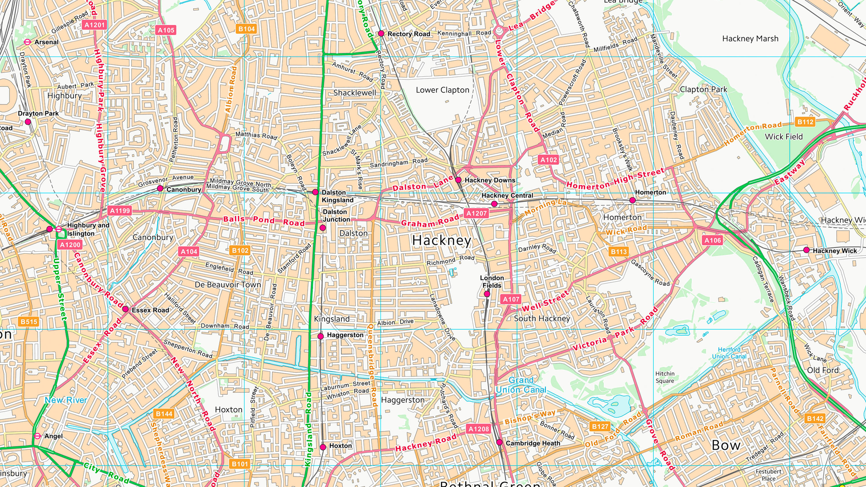
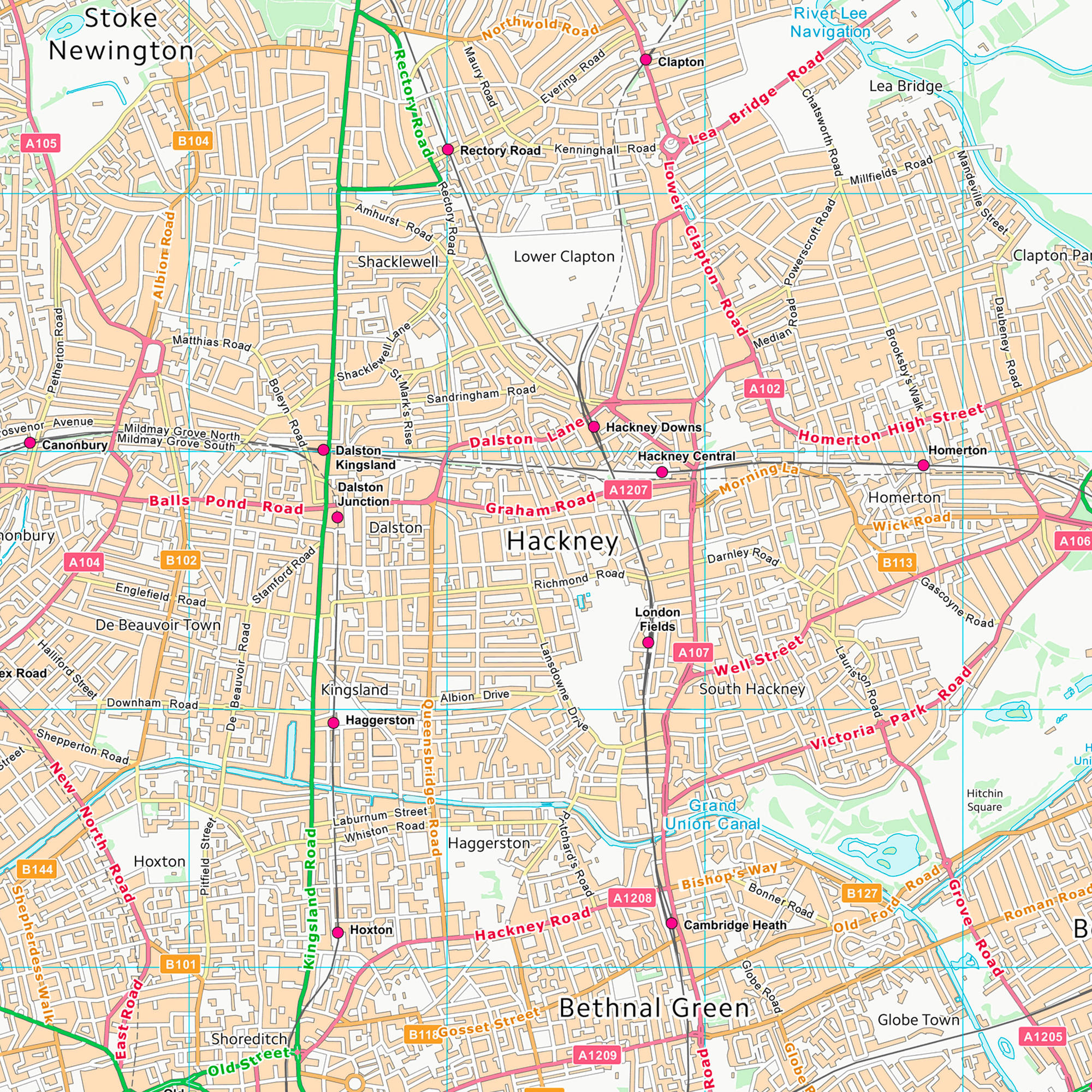
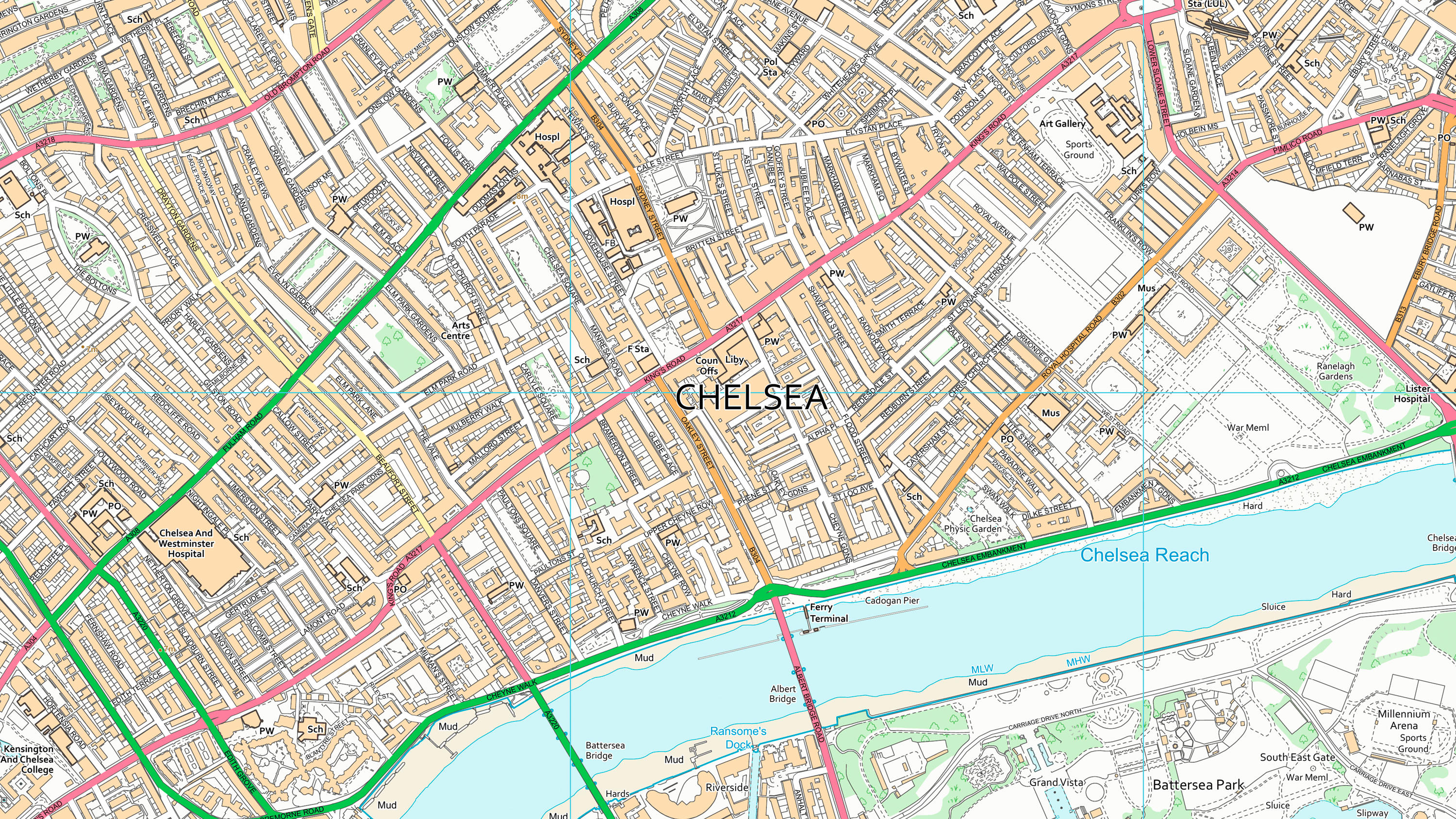
OS VectorMap District
OS VectorMap District is a simple vector dataset with a nominal scale of 1:25000 covering the whole of Great Britain that has been designed for creating graphical mapping. The product can be used as mapping in its own right or can be used to provide a flexible geographic context reference for customers’ overlay information.
This product is updated every six months
Get this ProductView Technical InformationFree to use for everyone