OS VectorMap Local
OS VectorMap Local enables customisable mapping with street level detail that is highly accurate, detailed and reliable.
This product is updated quarterly
OS VectorMap Local enables customisable mapping with street level detail that is highly accurate, detailed and reliable.
This product is updated quarterly
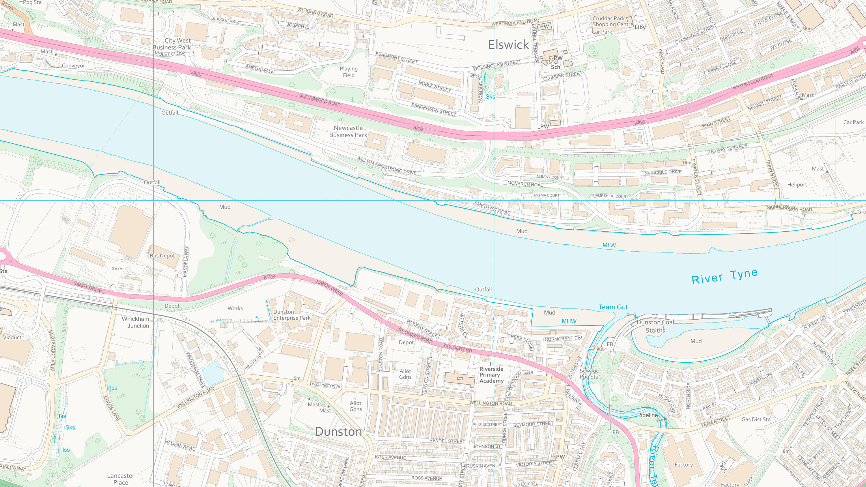
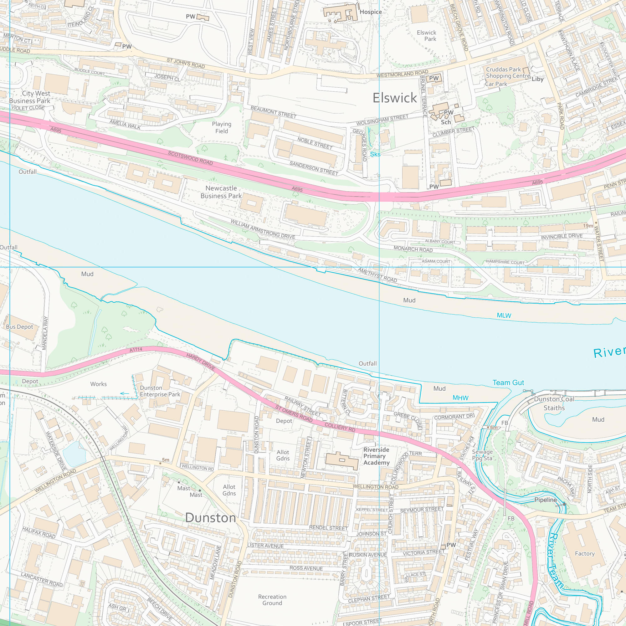
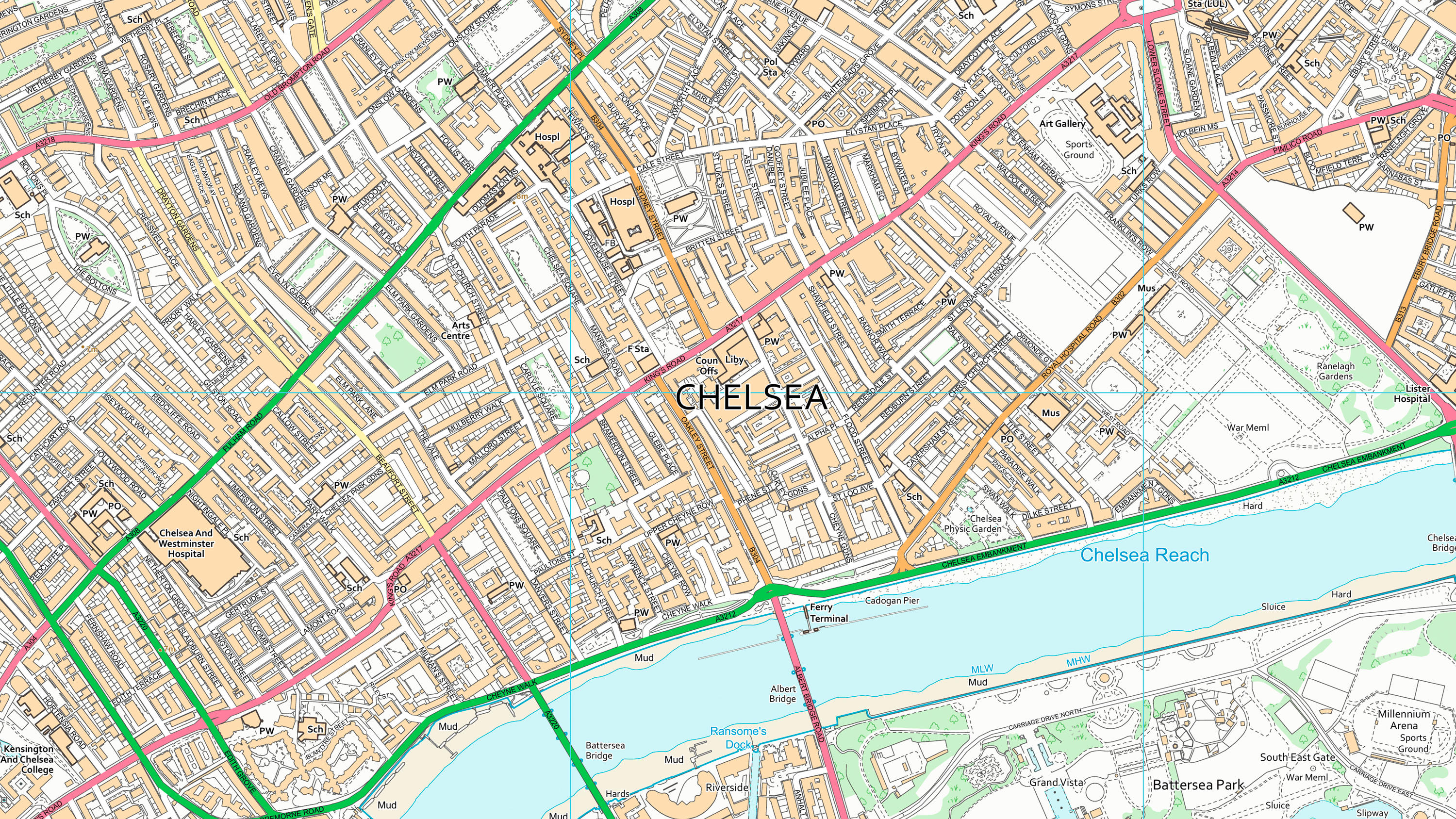
VectorMap Local is full of rich, detailed mapping attributes and features that improves contextual information and in-depth analysis – especially when compared to alternative data sources.
Prebuilt colour options are available for both vector and raster formats, but vector data is fully customisable. You can design your VML basemap to perfectly suit your needs. This might be to a preferred colour palette, to suit different viewing methods or to highlight features of most interest.
OS VectorMap Local is generated automatically from OS Large Scale Topographic database (used for OS MasterMap Topography Layer), improving currency and consistency to give accurate and reliable real world geographical information.
Download a small area of OS VectorMap Local.
Or try out the real thing by applying for a Data Exploration Licence
Try using the dataset in colour, or with a black and white backdrop.
Download a small area of OS VectorMap Local.
Or try out the real thing by applying for a Data Exploration Licence
Ordnance Survey's commercial network of Partners can help you with bespoke location solutions, derived from OS data
Ranging from global giants to single entrepreneurs, our Partners all use our location data to create innovative products and services. Their expertise ensures customers can benefit from using our data for a range of services. Find a partner for contextual or derived mapping requirements.
Ready to get started with our data and APIs?
Choose your plan and create your account. Take the next step by signing up to the OS Data Hub and create your first project today.
Download Premium data from the OS Data Hub
If you're an OS Licensed Partner you can use the OS Data Hub to access OS data products and manage your account all in one place.
OS Data Hub for PSGA members
If your organisation is a member of the Public Sector Geospatial Agreement, access the OS Data Hub to access our products.
OS Connect support
Our Ordnance Survey Account Managers have specialist knowledge of projects for utilities and telecoms customers and should be your first point of contact for product enquiries.
For further help about how our data can transform your organisation, contact us today
Contact us