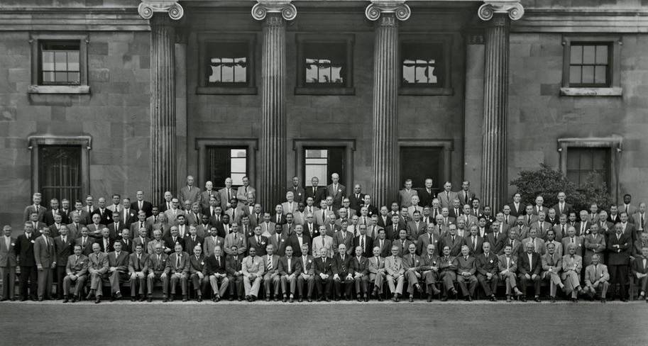
Leaders of National Mapping and Geospatial Agencies (NMGAs) around the world have been getting together, every four years, to improve the cartographic, and now geospatial services and expertise their nations can harness.
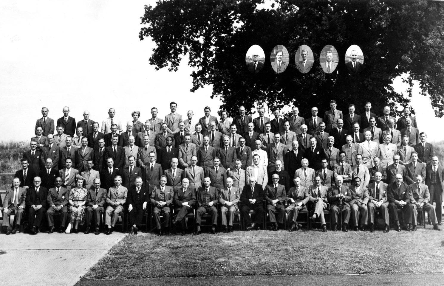
Exploring innovative and revolutionary ideas, Cambridge Conference has served as a key feature of the global mapping community ever since its inception.
A star of the show
Many legendary speakers have contributed to Cambridge Conference, perhaps the most celebrated being Brigadier Hotine CMG CBE RE.
Hotine contributed significantly during his career. He was responsible for designing, planning and implementing the re-triangulation of Great Britain on which OS maps and data are still based today, and he was the founding Director of the Directorate of Colonial (later Overseas) Surveys which provided mapping in many countries from the 1940s to the 1980s.
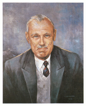
The legendary creator of our well-known trig pillars, Hotine is remembered by OS with a dedicated memorial, and at Cambridge Conference with the Hotine Lecture.
The power of location
OS is proud to have been organising the event since 1984, when OS merged with previous organiser, Directorate of Overseas Surveys. Cambridge Conference brings together people, ideas, and solutions, highlighting the power of location.
The next chapters
For the next chapters, the new twenties, Cambridge Conference and Cambridge Conference in Conversation examine some of the world’s greatest challenges yet, such as the role of geospatial in enabling climate action.