Discover how Ordnance Survey data is driving more efficient decisions in organisations like yours.
Case Studies
Showing 4 results
- Page 1
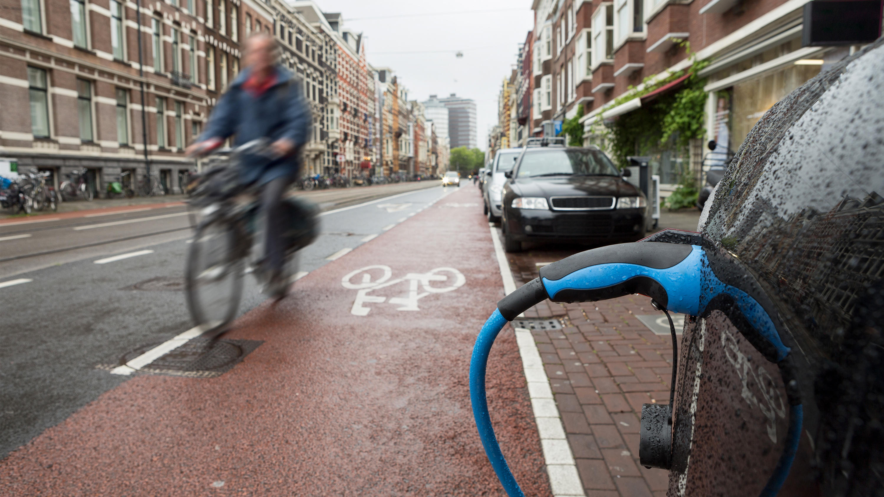
The Office for Zero Emission Vehicles (OZEV) with the Environment Statistics (ES) team at the Department for Transport (DfT) are currently planning the future provision across the UK of electric vehicle (EV) charge points, as part of the commitment by Government to reduce emissions by 2050.

To support the future of mobility, Ordnance Survey, Department for Transport (DfT) and GeoPlace have been working to make road data available and easier to work with. Vehicles are becoming more connected thanks to internet technology, this is driving the next wave of mobility innovations from mic...

Exactrak is the leading supplier of web-based real-time tracking and monitoring systems for specialist local authority highways winter maintenance vehicles. Using Ordnance Survey OS MasterMap Highways Network data within its Map-a-Route dynamic routing software enables Exactrak to design precise...

Every weekday morning, 1% of the UK’s total workforce commutes into an area scarcely bigger than a square mile. Managing the City of London’s transport infrastructure is a highly complex process.
All highway maintenance must be planned and carried out with the greatest precisio...