Discover how Ordnance Survey data is driving more efficient decisions in organisations like yours.
Case Studies
Showing 17 results
- Page 1

PropertyData empowers property investors, developers, and agents to make data-driven decisions with ease, at low cost. Plot Map, PropertyData’s high-resolution map of target developments (including everything from buildings and boundaries, to planning applications and land values) gives cus...

The Department of Lands and Surveys (DLS) operates a registered land administration system for the Caribbean island of Anguilla.
The DLS places a huge emphasis on both accuracy and efficiency, making sure its stakeholders have complete confidence and satisfaction – a process with loc...

Since the turn of the millennium Ordnance Survey recognised that almost all new and emerging technologies, and the products and services derived from these, require location data to function at their best. Ordnance Survey also recognised that the data our customers needed, and how and when they w...

Namibia is seeking to accelerate sustainable economic growth across the nation by strengthening the way it manages land administration – including land and property usage, title transactions and registration.
The Ministry of Land Reform (MLR) has secured World Bank funding to help mo...

Guyana Lands and Survey Commission (GLSC) is the key agency for surveying and administrating the lands of Guyana. Ordnance Survey (OS) worked with the GLSC to update their geodetic infrastructure and support the building of key capabilities for the effective use, maintenance and expansion of the...

The Brazilian Army used improved map generalisation to prepare for the 2016 Olympics.
For over 100 years, the Brazilian Army Geographic Service (DSG) has produced topographic maps of its entire national territory.
The need to adapt this map production system to incorporate small and...

Supporting geospatial data provision and capabilities in the Kingdom of Bahrain.
Survey and Land Registration Bureau (SLRB) is the national authority responsible for all survey activities and property transactions in the Kingdom of Bahrain.
In a move to grow its geospatial capacity...

Developing a National Spatial Data Infrastructure model with Kosovo Cadastral Agency (KCA).
KCA is responsible for the national land cadastre and mapping in the country. With funding from the World Bank, Ordnance Survey (OS) reviewed KCA’s IT strategy to ensure its systems are capabl...
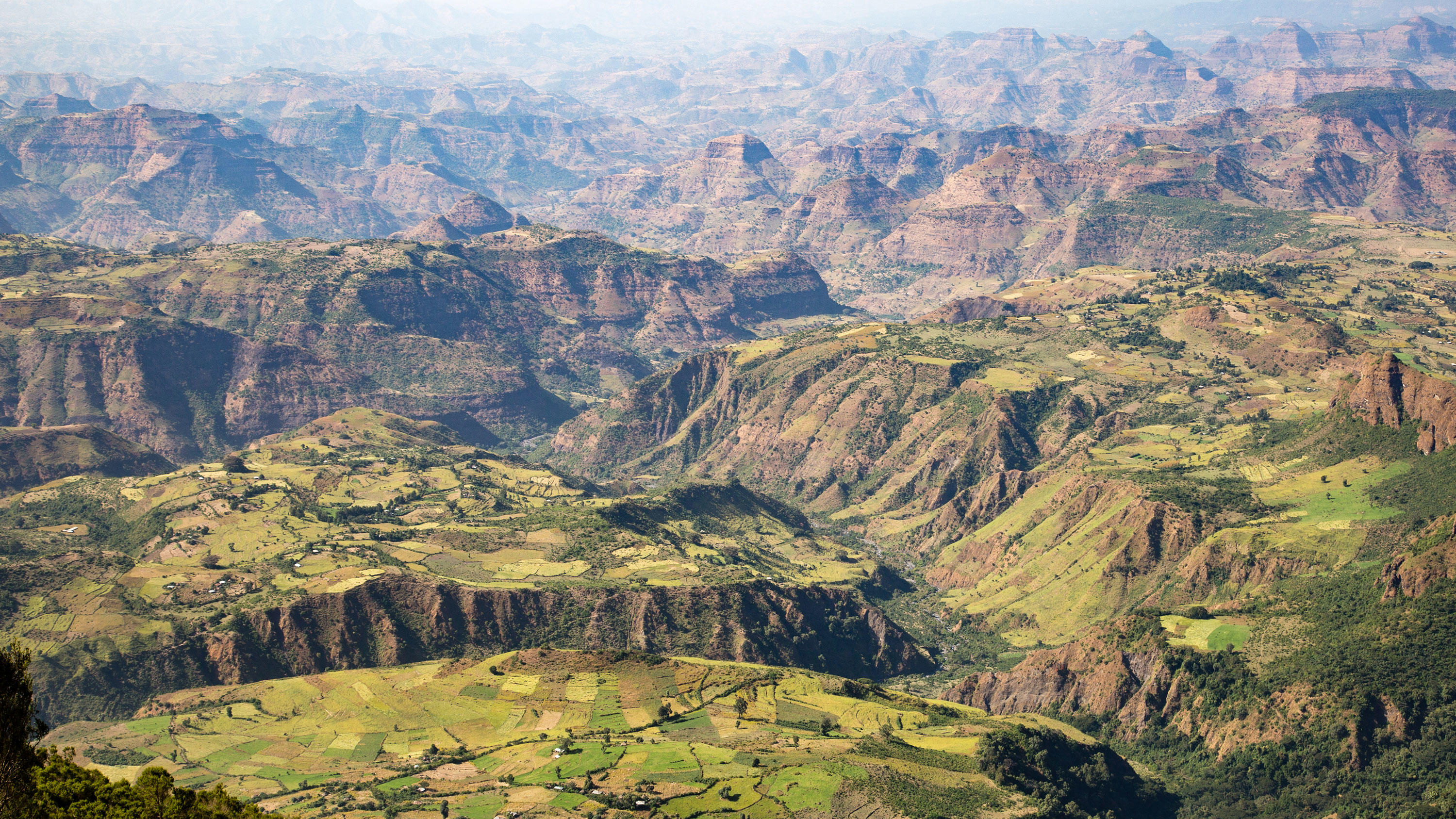
Ethiopia is a country looking to expand and maximise its land use with potential to tap further into its extraction industry (mining metals, minerals and aggregates) to support economic growth.