Discover how Ordnance Survey data is driving more efficient decisions in organisations like yours.
Case Studies
Showing 8 results
- Page 1
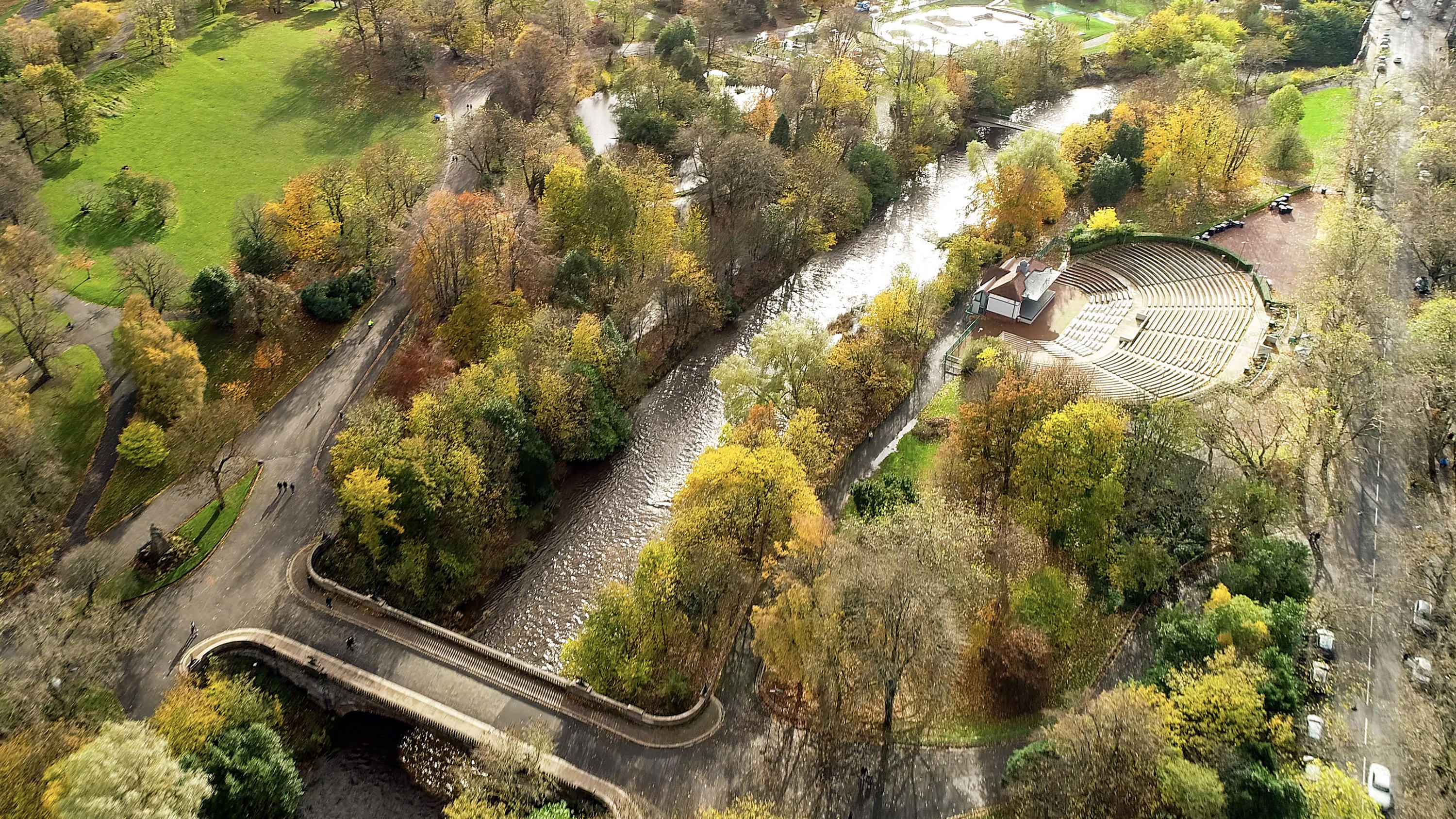
The importance of access to green outdoor spaces in relation to health and wellbeing is clear. However, deprived areas are less likely to have access to green space and gardens.
In 2021 the Government allocated £9 million of funding to a ‘Levelling Up Parks Fund’ to help...

Transport for London (TfL) have experimented with an e-scooter rental trial, to better understand the environmental outcomes of alternative transport.
Data was collected to assess the results of the trial and help inform future policy.

Natural England, the agency responsible for helping protect England’s natural environment, have announced that all new planning proposals covering Hampshire’s Solent waterways and wetlands, must be “nitrate neutral”.
Nitrate pollution, often caused by chemical ferti...
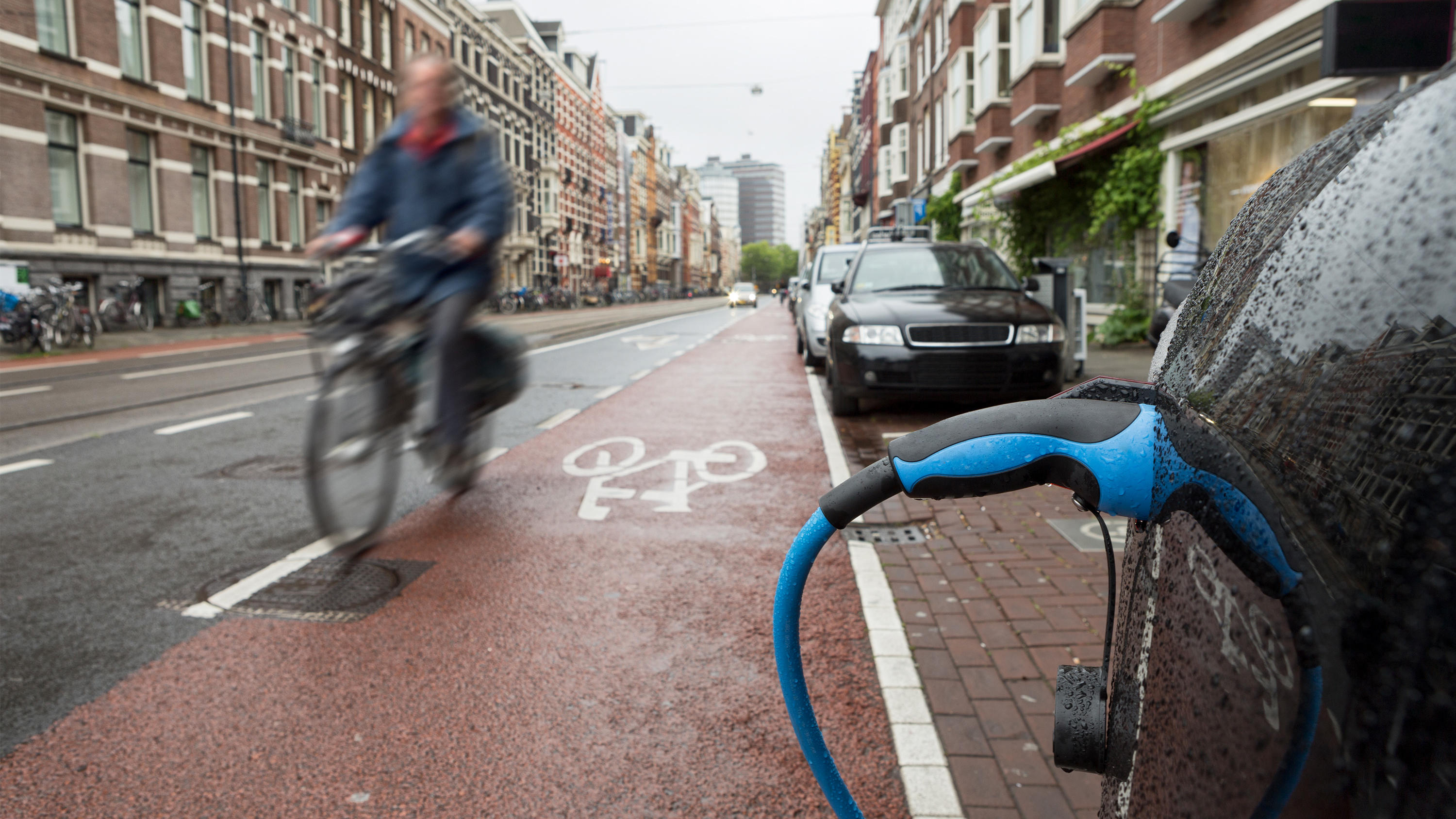
The Office for Zero Emission Vehicles (OZEV) with the Environment Statistics (ES) team at the Department for Transport (DfT) are currently planning the future provision across the UK of electric vehicle (EV) charge points, as part of the commitment by Government to reduce emissions by 2050.
Greenspace is the urban ecosystem – protecting our biodiversity, our physical and our mental health.
Greenspaces are also, according to Scotland’s parks and greenspace charity, greenspace scotland, a potential source of local green energy.
ParkPower is a Scotland-wide pr...

Department of Energy and Climate Change (DECC) works with Ordnance Survey (OS) to make sure the UK has secure, clean and affordable energy supplies.
DECC has combined data from a number of different sources to create the National Energy Efficiency Data-Framework (NEED) which is used to eff...
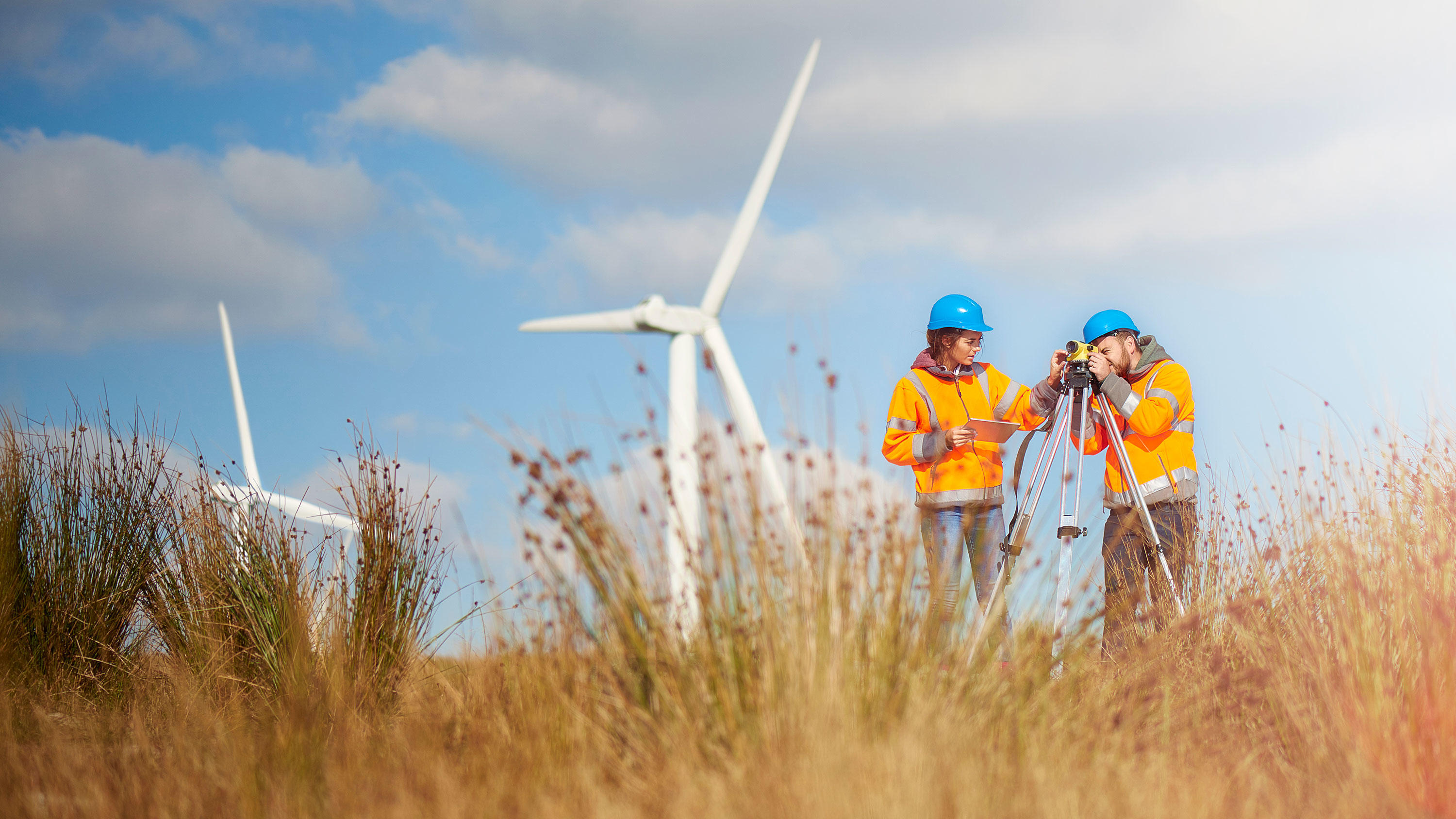
With the Scottish Government's ambitious targets for increasing renewable energy generation up to 2020, Scotland’s onshore wind generation will continue to grow.
This case study shows how effective guidance, utilising spatial data, can help local Government Authorities to deliver thi...
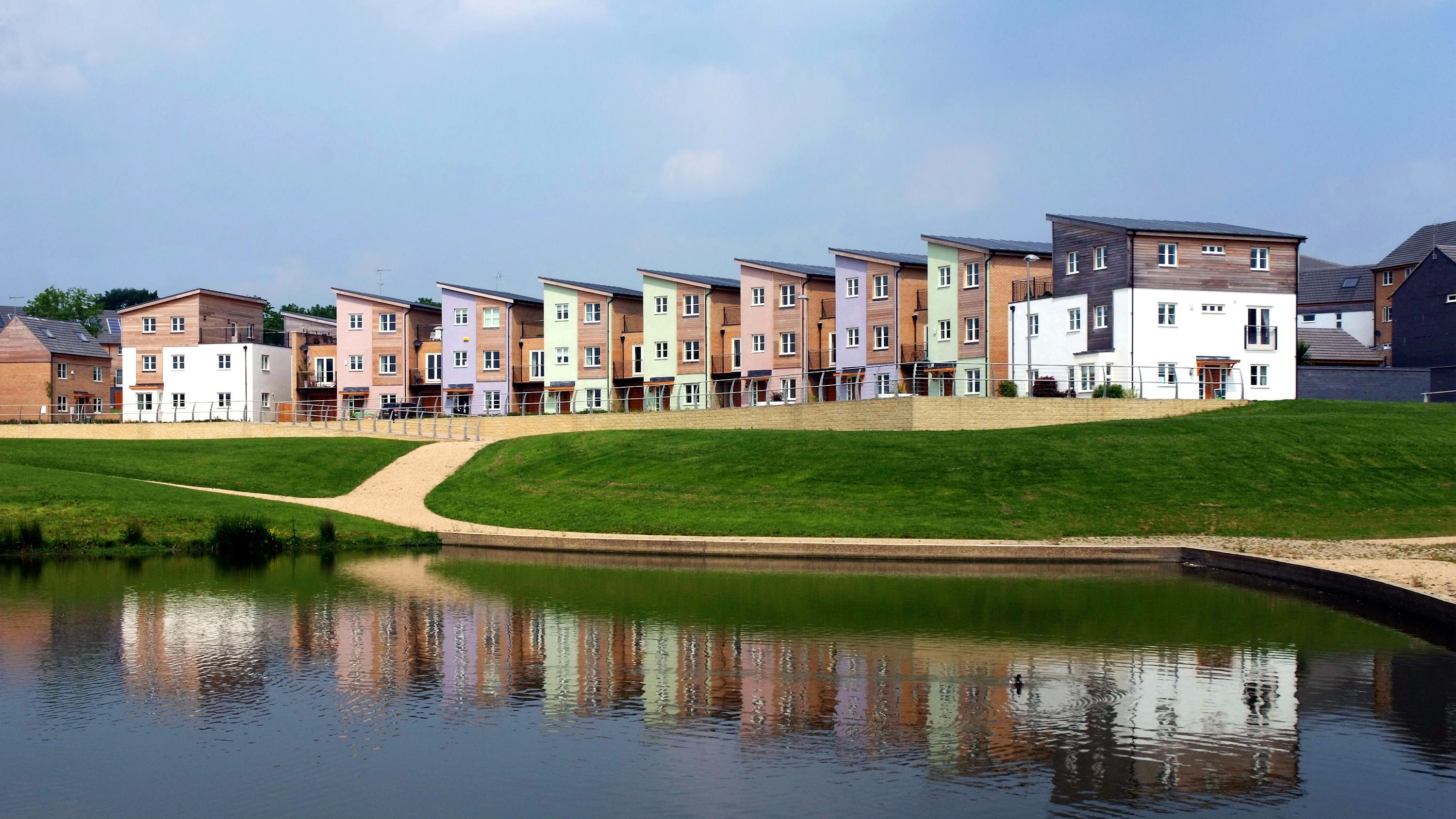
Supporting local economic growth in Milton Keynes with geospatial data.
Ordnance Survey (OS) provides geospatial datasets to help the MK:Smart Future Cities project in Milton Keynes.
MK:Smart Future Cities project (MK:Smart) is a large collaborative initiative, partly funded by HEFC...