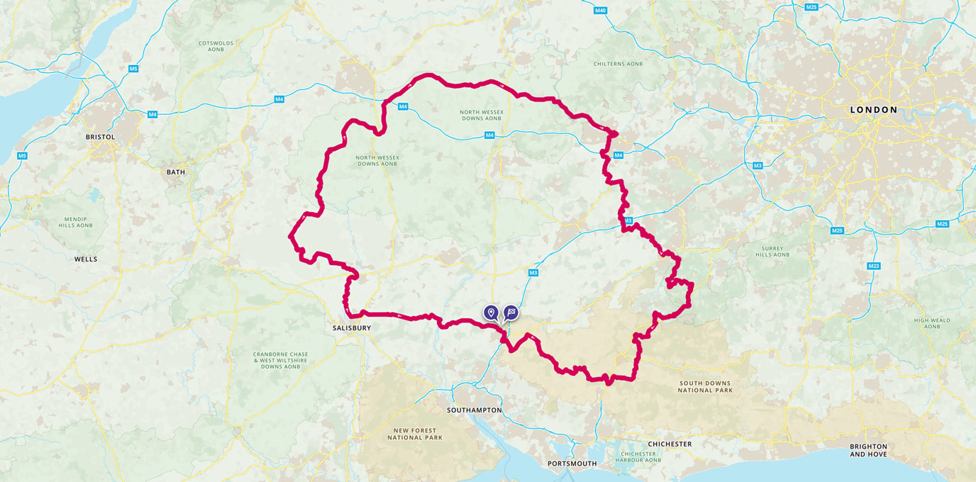
The King Alfred’s Way is a 350km circular off-road cycling route that will take you back in time. Combining beautiful rural scenery with some of Britain’s most iconic historic sites and four National Trails this ride makes a great bikepacking adventure.
The route is rich in history, making its way through the Anglo-Saxon kingdom of Alfred the Great, Wessex as we all know it. Cycling UK launched the King Alfred’s Way in 2020 and it was soon the talk of the town. Every cyclist wanted to give it a go and we were no exception. Combining beautiful rural scenery with some of Britain’s most iconic off-road routes (South Downs Way, North Downs Way, Thames Path and The Ridgeway) this ride makes a great bikepacking adventure.
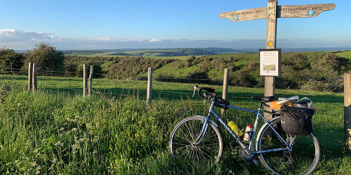
South Downs Way Cycling
Despite being seasoned cycle tourists, we were a little apprehensive about this ride as we did not own off-road bikes. Cycling UK suggest the route can be ridden on a gravel bike or mountain bike, classing it as a bikepacking route as opposed to cycle touring. Our sturdy steel touring bikes have been over their fair share of lumps and bumps (like that time we took the wrong turn in New Zealand and ended up on a graded MTB trail) so we figured it would be ok.
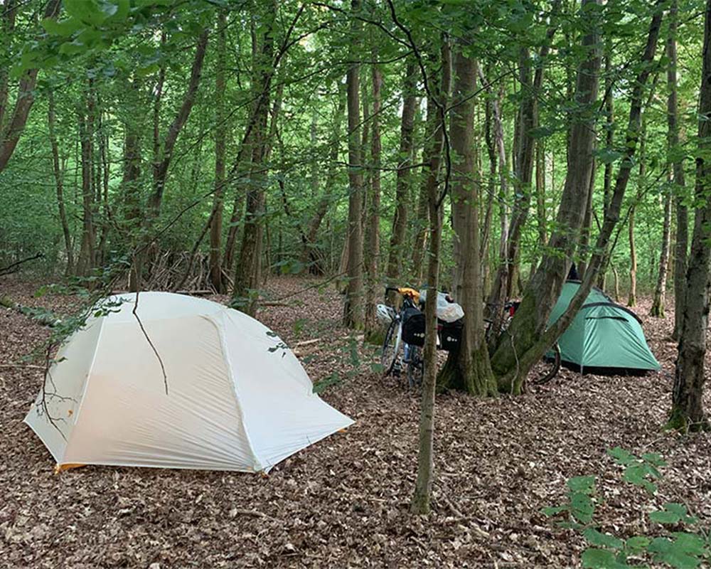
Wild camping in woods
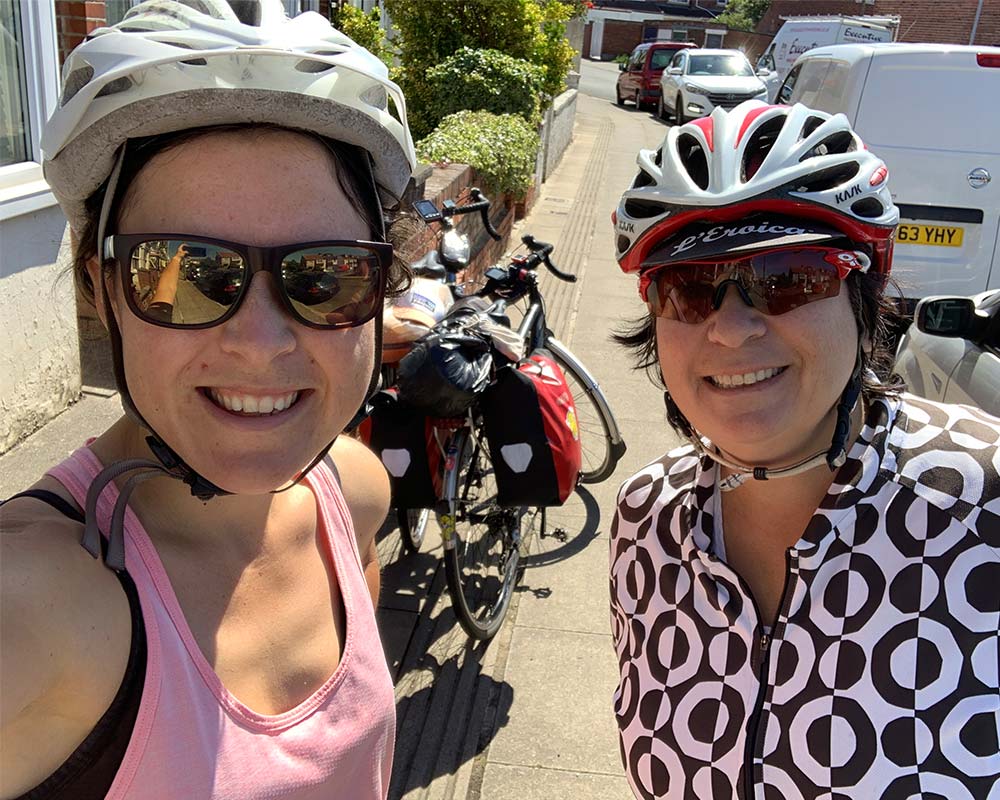
Mum and I
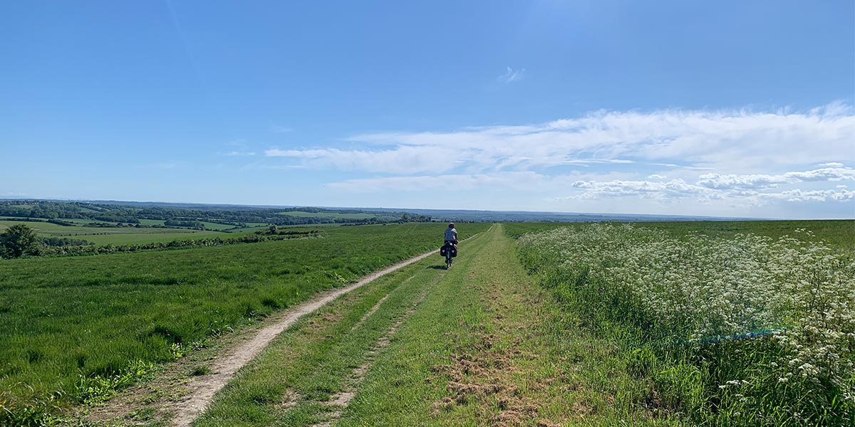
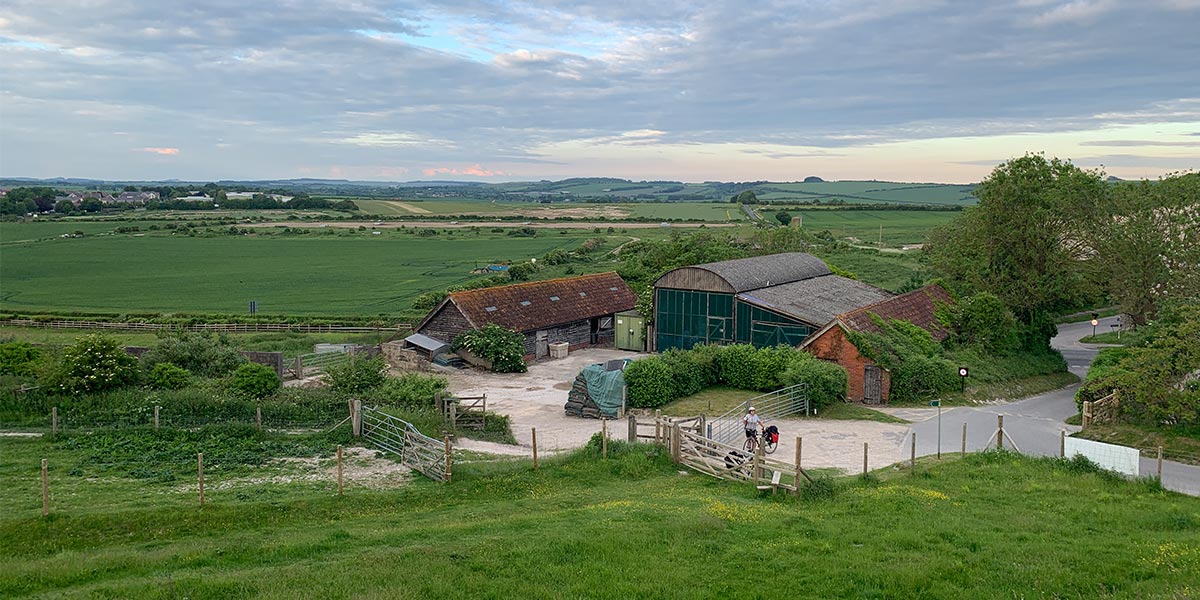
Beautiful views in Wiltshire
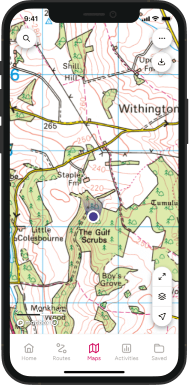
We decided to tackle the route in one go and take each day as it comes, thanks to the flexibility of carrying our tents. We were also equipped with an OS Adventura 2 bike GPS with OS Mapping plus OS Maps on our phone for back up. Having both a bike GPS with Topo mapping and OS Maps on our phone worked incredibly well and we seldomly got lost. Plus, it was great to look back at our stats from each day.
SU 64125 20448
The Kind Alfred’s Way officially starts and finishes in Winchester at the statue of King Alfred himself (it was where he was buried), but we decided to begin our adventure on top of Old Winchester Hill (on route) as this was closer to home and we knew a great coffee van up there. As it’s a circular route, you could start from anywhere and not miss out.
Cycling at Cheesefoot Head
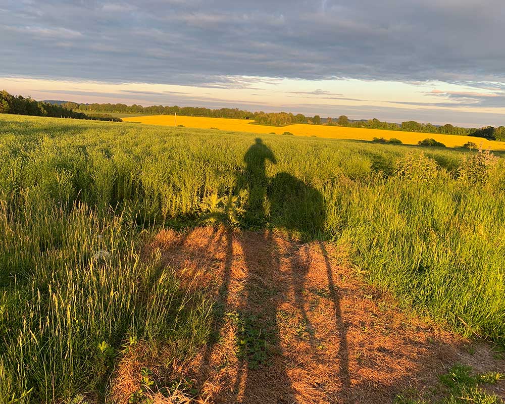
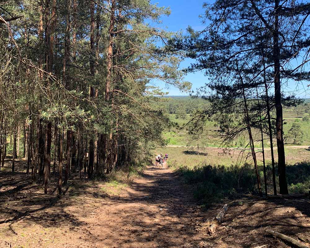
Cycling clockwise, the first part of our journey followed the beautiful South Downs way to Winchester, a rather hilly trail we know so well. The birds were singing and there was plenty of wildlife on route including a stoat which ran out in front of us. The path at Cheesefoot Head was our first real encounter of the rocky ground we would experience for much of our journey. A mountain bike or gravel bike would glide across this kind of terrain, but our fully loaded touring bikes struggled. Luckily, the views out over the South Downs more than made up for it.
SU 53033 27712
After an obligatory photo with King Alfred and a slight (a whole 24 hour!) delay in Winchester waiting for a replacement wheel, we were finally on our way. We were now nearly a day behind schedule but we had accounted for 6 days of cycling as we knew we’d be slower thanks to our hefty set up. The route out of Winchester could have been a little hard to navigate if we did not have GPS but we managed it with ease.
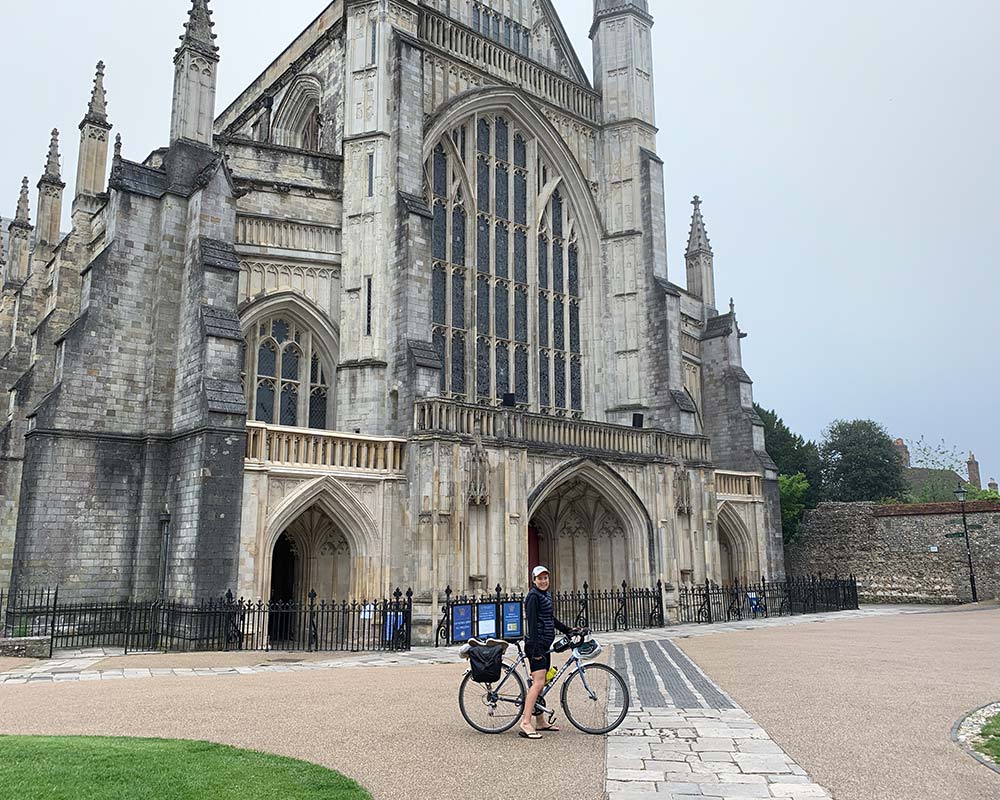
Winchester Cathedral
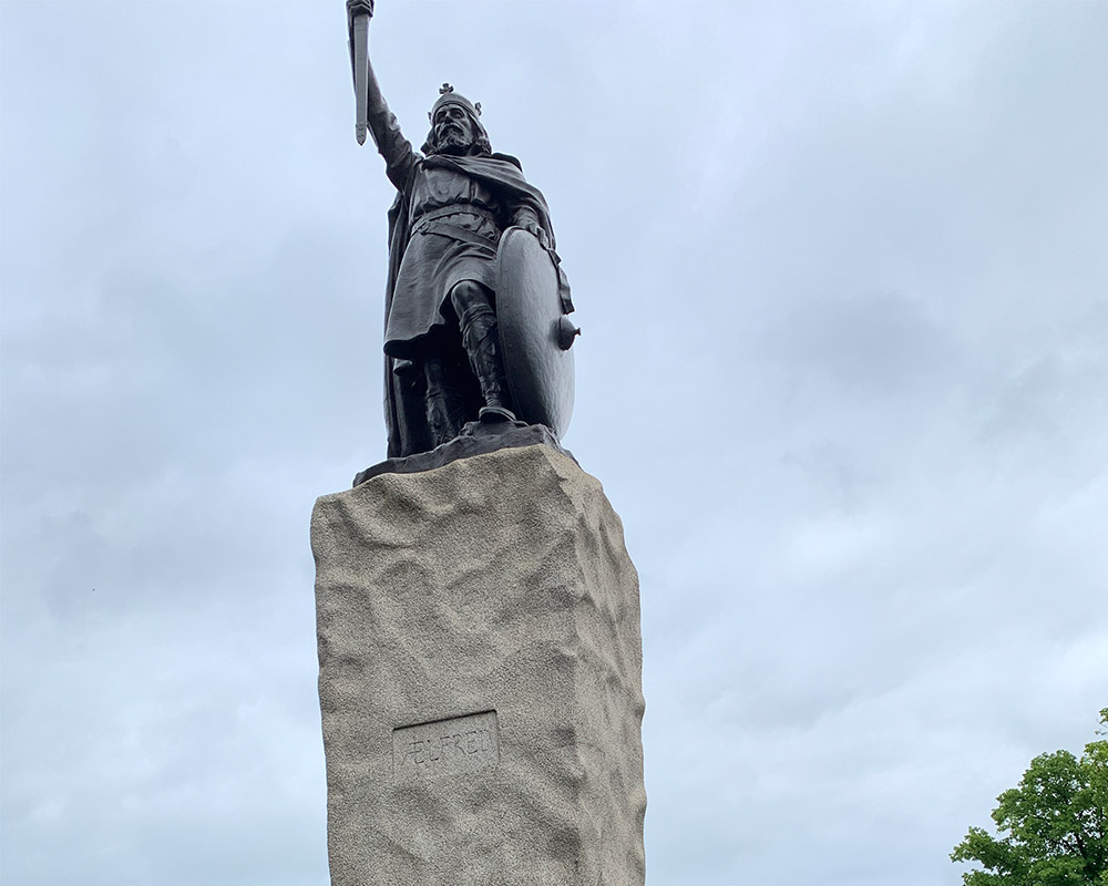
Statue of King Alfred in Winchester
After stopping at the charming village of Houghton for a cold drink (note: most pubs along the route don’t serve food between 2:20pm-6pm) the path became quite rocky again and very narrow. However, there weren’t many other cyclists or walkers on route, and we took joy in being immersed in nature.
SU 13792 32641
It’s worth stopping for a walk up Old Sarum Iron Age hill where you can imagine what it was like to live in Roman, Norman and Saxon times, each leaving their mark on this impressive site. The short walk up is rewarded with great views over the Wiltshire plains
View from Old Sarum Iron Age hill
It was easy going towards Amesbury which we bypassed in order to find a camping spot before darkness. Nestled somewhere just before Salisbury Plain we had a fantastic night’s sleep waking to the loudest dawn chorus we’ve ever heard. The official route took us around Stonehenge, so we were rather baffled when we saw it in the distance behind us. Not wanting to miss out on one of Britain’s most iconic landmarks, we backtracked to see it. There are details of the route diversion to Stonehenge in the official route guide by Cycling UK, something we rather foolishly forgot to read beforehand.
SU 11937 42234
Stonehenge did not disappoint (apart from the café) and our visit was made even more special as we arrived before it opened so we had the whole place to ourselves. A public footpath runs alongside the ruins which allowed us to get closer than we expected. Back on the saddle, the riding was pleasant and varied with wide grassy paths and patches of woodland, my favourite a short stretch near Tilshead (OS Grid Ref: SU 02855 47584).
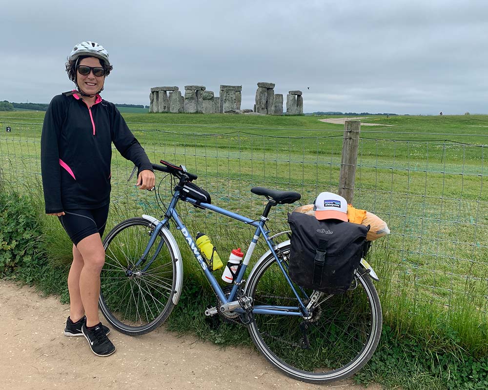
Stonehenge
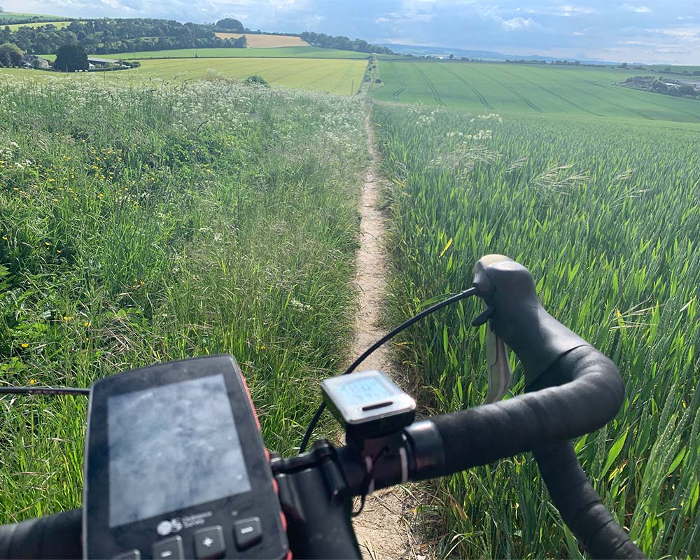
OS GPS
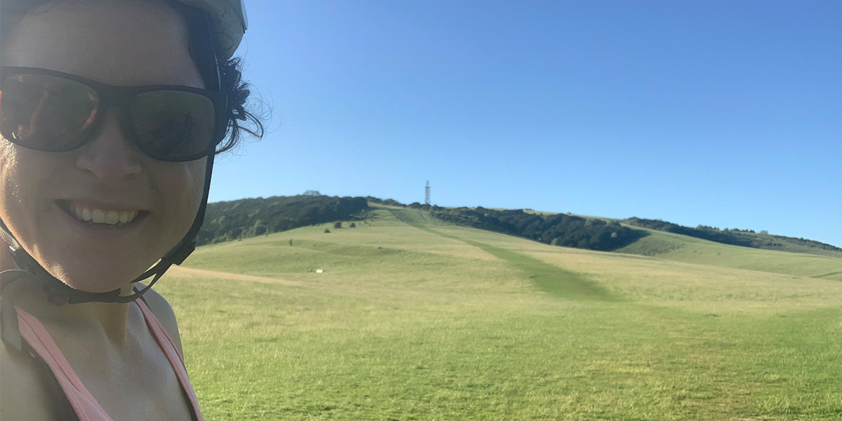
Past Tilshead we ventured into the Danger Zone, often used in military training. We saw a few helicopters flying past but nothing that left us feeling unsafe. Making our way up to the Wessex Ridgeway along the White Horse Trail was demanding but rewarding none the less. My favourite view from our journey was up the top of Tan Hill (OS Grid Ref: SU 07752 64907) which was a lovely smooth paved ascent and a rather rocky way down.
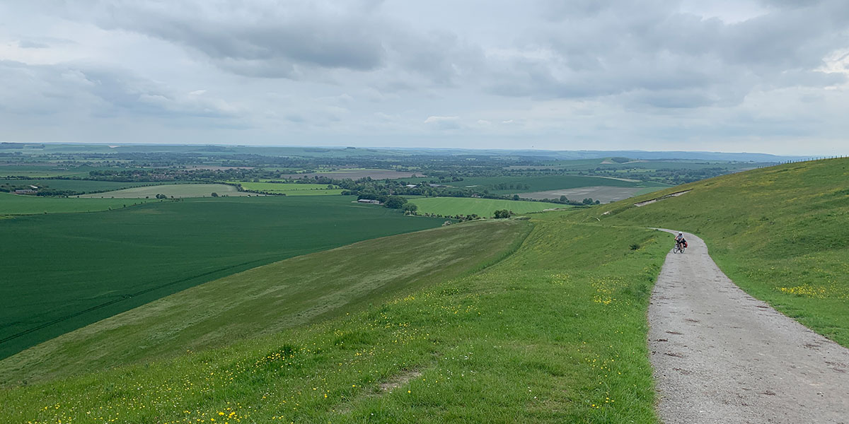
Tan Hill
SU 10303 70076
It was getting late in the day, but we couldn’t pass Avebury Henge and stone circles which was free to visit. Within the henge is the largest stone circle in Britain (about 100 stones) and encloses two smaller stone circles. It’s a lovely area to stop for a picnic with quaint rural cottages and well-kept gardens dotted around. Beyond Avebury, the Ridgeway (a National Trail) provided exciting riding with lots of ups and down. This was probably my favourite section of the entire King Alfred’s Way and involved the White Horse chalk figure.
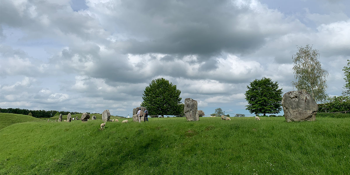
Avebury Henge
SU 15448 76167
We whizzed down to the Inn at the Well Pub in Ogbourne St George where we had the most incredible feast. Our favourite pub grub along the route (The Shoe at Exton is also great!), This gave us the energy to cycle back up on to the Ridgeway where we set up camp somewhere along the top there. Both sunset and sunrise were truly magical.

Sunrise on the Ridgeway
I felt a world away from the hustle and bustle from city life, yet we weren’t too far from civilisation at all. It was plain sailing down to the bustling village of Goring (Goring-on-Thames) on The Ridgeway. Goring was once named Oxfordshire Village of the Year so we figured it would be a great place to stop for a drink.
SU 60653 80123
Cycling out of Goring we saw the most incredible flock of Red Kites overhead which we stopped to watch for a while. A local told us they were reintroduced to the area a few years ago and their numbers have boomed. Now, it was time to join another National Trail, the Thames Path. Following the River Thames, I thought the Thames path would be as flat as a pancake, but I was wrong! This section was incredibly hilly, all short and steep.
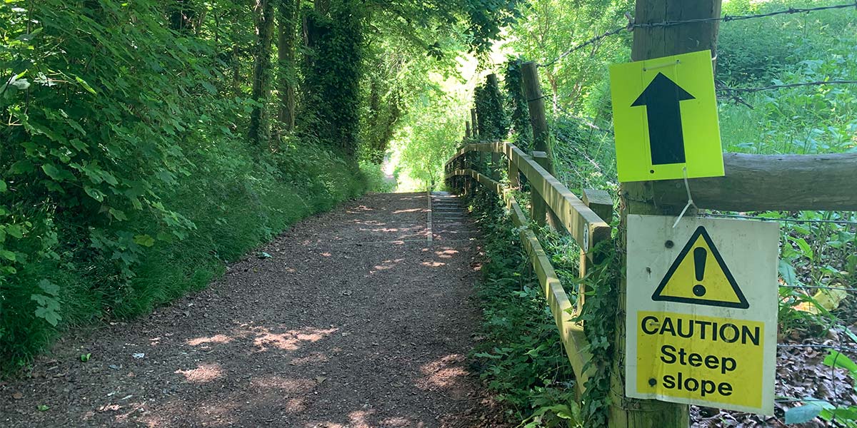
Steep slope on the Thames path
Reading was a chance to stock up on supplies and used a lot of our time, mainly stopping for coffee and navigating through city streets. Luckily, most of the route followed the tow path which was at least busy with people rather than cars. We set up camp in a small wooded area out of town and were treated to a memorable sunrise cycling past fields of poppies.
SU 77795 53782
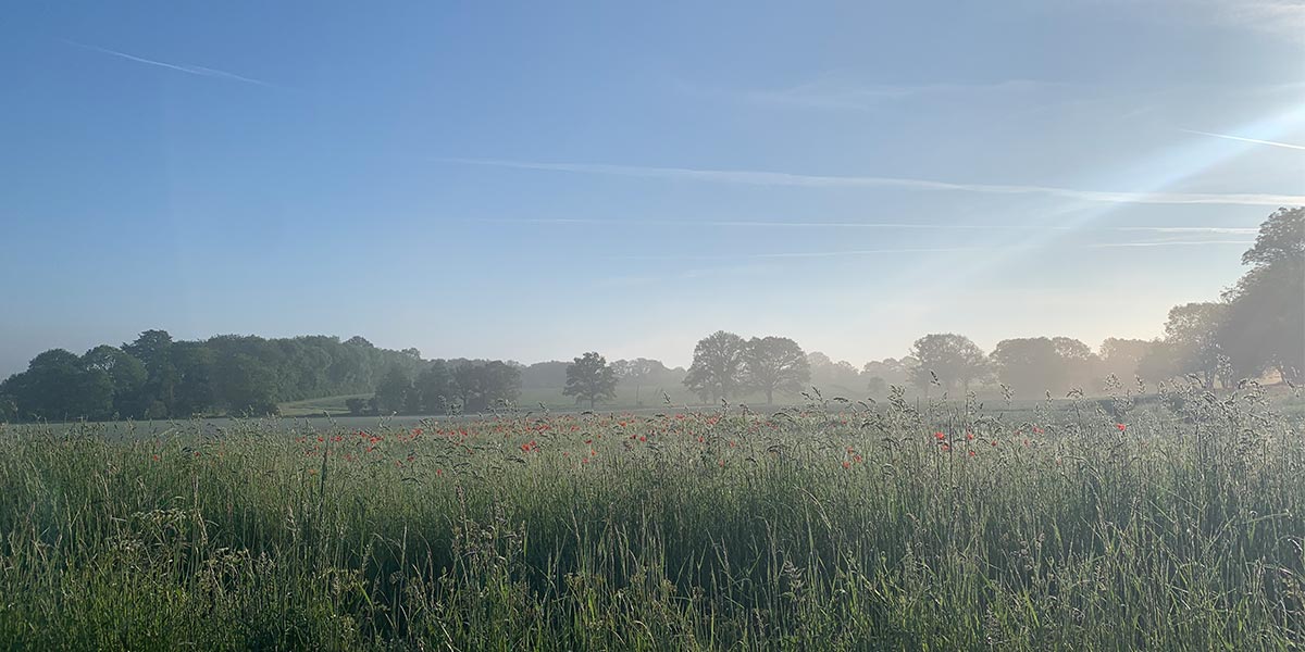
Beautiful fields of poppies at dawn
The Barley Mow bridge near Winchfield Green was so picturesque, we deviated from the route to follow the river for a bit before turning back. The route had flattened out and it was gentle riding to Farnham where we stopped at Gail’s Bakery (a must visit) for breakfast.
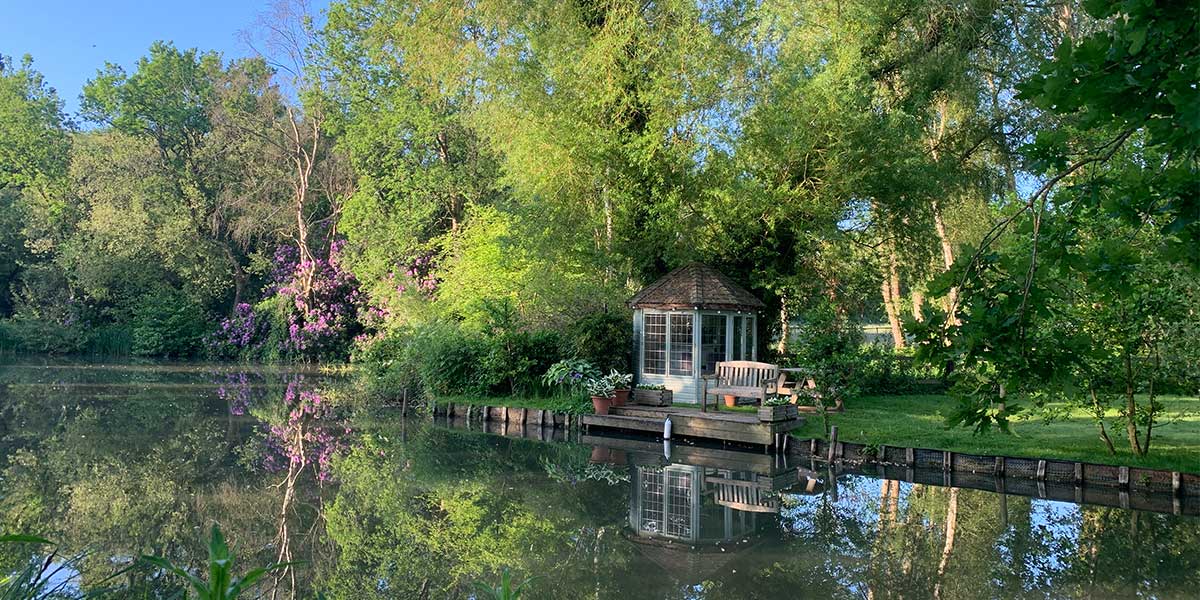
Peaceful area around the Barley Mow bridge
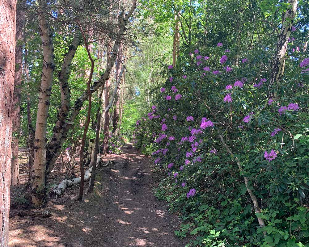
The route around Farnham was a mixture of rhododendron-lined trails and quiet country lands with grand houses either side. It was only once we passed the tranquil Frensham Ponds that the riding become tough again, partly due to the hot weather. If we’d had more time, we would have stopped for a dip.
SU 85269 40262
The trail was dusty, almost desert-like on this section (in late-June) through to the Devil’s Punchbowl. When it wasn’t sandy, it was rocky and we found this part really tough. No matter how many times I visit the Devil’s Punchbowl, I still enjoy this unique landscape and it was great to cycle along the top. The next section of the trail took us on a mixture of undulating off-road trails and roads to Liphook where we met the Shipwrights Way which we followed until Liss.
Rhododendron-lined trails near the Devil’s Punchbowl
Sandy Hankley Common
SU 78986 25594
Riding down through Durfood Wood was incredibly enjoyable but tough going on my bike. The tea room at Durleighmarsh Farm would have provided me with a much needed pick-me-up (they do great sausage rolls) if I wasn’t on a mission to complete the King Alfred’s Way before dark. Crossing the road after Durleighmarsh, the route became hilly, very hilly. We made our way back up on to the South Downs and it was hard riding, too technical for our thin tyres and fully loaded panniers. Our legs were trying to move over 25kg (bike and kit) up these hills which didn’t help! That saying, we did it.
SU 71437 19837
Queen Elizabeth Country Park brought with it a huge dose of adrenaline as we whizzed through the forest on mountain bike tracks, a wonderful place to ride. My new-found confidence on these off-road trails resulted in a snapped mudguard which took me a while to remove so I could carry on riding. Now, if you’ve ever stood at the bottom of Butser Hill and looked up, you’ll see that it’s a great challenge to even attempt to cycle up Hampshire’s highest peak. With my fully loaded bike, I didn’t even try but if you haven’t got a huge amount of luggage, you just must give it a go! If cycling the King Alfred’s Way clockwise, like me, you’ll have gradual descent from Butser and it was a short lump, bumpy ride back to where we started this epic cycle adventure five days ago.
Looking up towards to top of Butser Hill
The Kind Alfred’s Way is not to be underestimated. It’s tough riding at times, especially if you’re not on a gravel or mountain bike, but it’s an amazing route passing some of the most beautiful and historic parts of Southern England. I highly recommend giving it a go, either in sections or on a bikepacking trip.
Three top tips:
- Always carry water/food because amenities in small villages are not always open
- Choose a gravel or mountain bike with a lightweight set up, bikepacking bags are much easier on narrow sections.
- Factor in time to explore some of the historic sights and make detours to some villages slightly off route.
13km SU 64125 20448
352 km / 219 miles