Linking people to places
Harnessing location data to the benefit of the healthcare sector
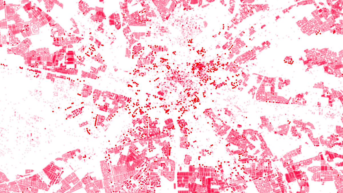
Understanding the geographic characteristics of places is becoming increasingly important as the NHS moves towards to integrated care strategies. Geography has a key role to play in population health management, and ensuring the right care is in the right place.
The opportunity going forward is to unlock the power of geographic analysis, through a whole system approach to integrating geography and health data, by linking people to places.
Learning from the pandemic
Access to quality location data to link people to places was key to NHS’s response to Covid-19. Using AddressBase Premium to verify the quality of location data across Test and Trace meant building level data was available to support contact tracing, testing, and vaccination roll out.
This approach provided a critical link to the Unique Property Reference Number (UPRN) – a unique ID for every addressable building in the UK. Capturing the UPRN and sharing with other organisations means it can be linked to other address level information to build a picture of risk at the household level.
Linking people and services to UPRNs means they can be linked to the real world and the wider geographic characteristics of places.
One version of the truth
One of the principles of effective geographic data management is to make the link to geography at source and at the most granular level. In terms of the day-to-day running of the NHS, that means verifying addresses and capturing UPRNs through the NHS patient and service registration process.
NHS membership of the Public Sector Geospatial Agreement (PSGA) provides free access to our OS Places API (our web look-up to AddressBase Premium) and we’re delighted to see it will be part of the solution.
This approach will ensure quality address information is captured and the link between UPRNs and records can be maintained in key databases, providing one version of the truth for the location of patients and services. The UPRN will increasingly play a role in how location is exchanged between ambulance and 111 services across the UK, saving time and effort matching addresses in emergencies.
One version of the truth for location will reduce the duplication of effort across the NHS to match addresses, further enhanced by our new daily address update capability and richer address attribution.
Integrated Care
There are many environmental factors that can affect our behaviours and health outcomes (known as the wider determinants of health) including the built and natural environment.
The PSGA provides free access to Ordnance Survey data and expertise to help the NHS model the relationship between our physical environment and patient location, to inform place level design of services. NHS England’s investment in a Federated Data Platform will enable ICBs to access geographic analytical capability, underpinned by the link between patient, services and UPRNs. This will only be enhanced as the NHS moves to a whole system approach to enabling UPRN flow.
One of the key benefits to UPRNs is the ability to share household level insights between organisations to inform prevention and intervention strategies. The UPRN helps to build up a picture of risk by combining the human and physical characteristics of households.

This is particularly relevant in terms of the relationship between local government and NHS, and need for public health interventions and joined-up care pathways. NHS adoption of the UPRN will bring it in line with how local government already link most of their information and opens the possibility of UPRNs supporting shared patient records and modelling the patient journey across health and care using geography.
Access to services
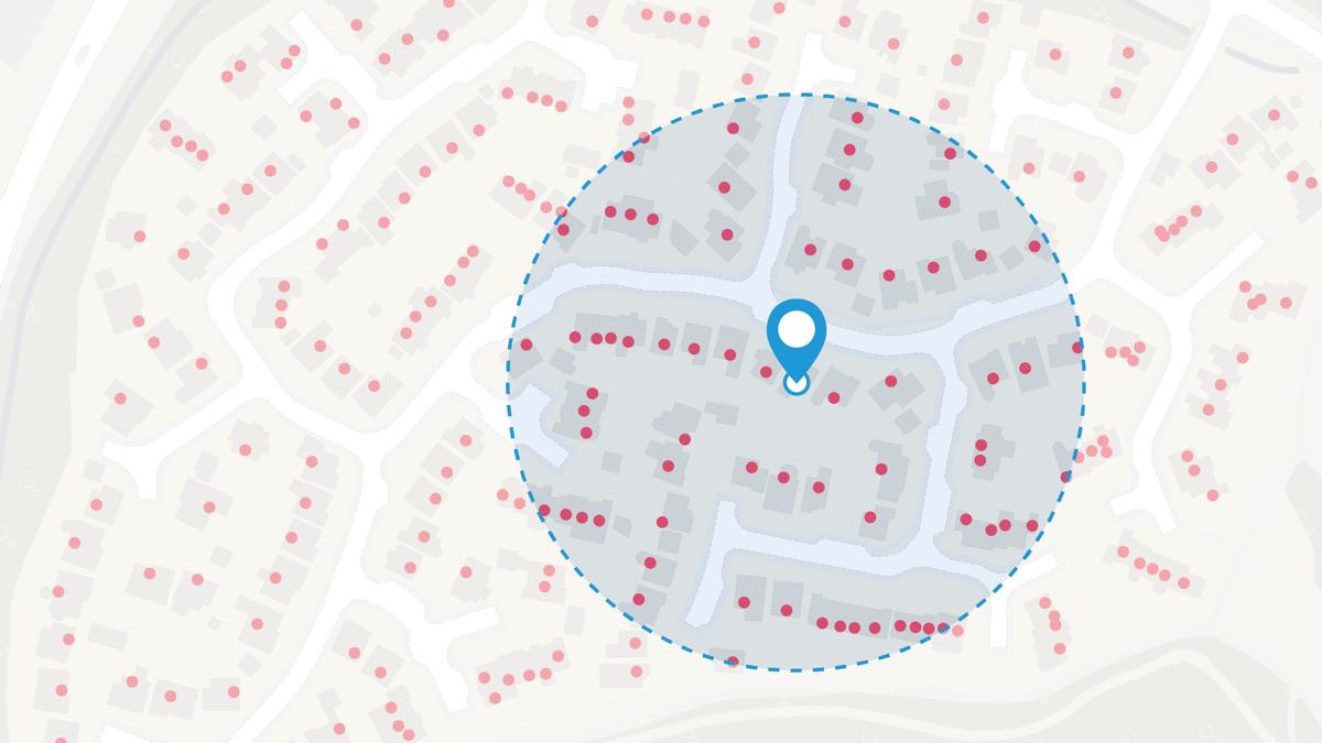
One of the ways that geography can impact health outcomes is unequal access to key services and amenities. Modelling accessibility is key to understanding the relationship between the demand for and supply of services.
At Ordnance Survey we are increasingly working with NHS bodies to model accessibility. We want to leverage the breadth of our location data available via the PSGA into analytical ready data, going beyond mapping access to health services by considering a wider set of geographic characteristics.
For example, we are working with NHS England to develop a gridded data approach to analysing walkability at the neighbourhood level.

Summary
Understanding the geographic characteristics of places is a key component in tackling the wider determinants of health and reducing health inequalities.
The PSGA provides the NHS with a wealth of geographic information for use in the planning and delivery of services. The power of geography to link and share real world information can be unlocked through integration of our location IDs into key NHS data flows. And NHS England’s new data platform is set to extend the benefit of geography across the health and care system.
If you work for the NHS and are interested in benefiting from geographic analysis, please get in touch – our expertise in managing and exploiting geographic information is freely available to NHS members of the PSGA.
Register your organisation for the PSGA
Public sector organisations can start making full use of OS data and services when they register for the PSGA
Strategic Development Manager
Iain Goodwin is a Strategic Development Manager in the Government Relations team at Ordnance Survey.
Products and solutions featured in this insight
AddressBase
AddressBase matches 29 million Royal Mail postal address to unique property reference numbers, bringing a new dimension to the matched records.
OS Places API
Perform accurate geocoding and reverse geocoding with our secure, scalable, and resilient address API.