Tracking environmental impact
Monitoring and reporting climate change with location data and earth observation
There is a large and growing relationship between location and earth observation data. Both are relied on to collect and disseminate environmental information.
But when combined, we get a powerful picture of the changes happening in our environment. From tracking heat waves to coastal erosion, and reporting pollution to habitat restoration, we’re able to analyse the Earth's surface in a way that helps us improve the effectiveness of environmental programs.
The relationship between location data and earth observation
Everything we need to monitor is underpinned by location, and geospatial data can help unlock the value of earth observation data. As location data is used to create maps and models of surface terrain, earth observation uses satellite images, aerial platforms, and sensors to collect data about the environment.
Both are crucial in climate and environmental protection programs and when used together it’s possible to start monitoring and reporting the impacts of climate change. We are now able to get a detailed understanding of landscape, climate, and ecological systems and crucially monitor changes in these systems.
By reporting and verifying these changes we can improve our understanding of what is happening and measure if our policies are working.
Why the use of earth observation is increasing
In the past, only governments could afford to launch and use satellite-based earth observations, mostly to support security and defence operations. Now, with the massive growth in satellite systems, and the cheaper cost of space-based imagery, we've seen democratisation and wider use by more organisations and governments.
To accelerate the uptake of this important monitoring tool, the UK government recently announced up to £200 million of funding to invest in earth observation and climate programmes. The focus of the fund is to reduce our carbon footprint through better management of our land, oceans, and forests so that they absorb more CO2 than they emit into our atmosphere. This investment will help us meet our net-zero ambitions as more than half of key climate data comes from space - making this a vital part of achieving them.
The use of location data to support climate change monitoring
The use of location data to support climate change monitoring and reporting varies according to the nature and scale of projects. For example, in the case of an individual project, such as a wind farm, geospatial data may be used for planning purposes only. However, it is also common for large-scale projects to involve multiple agencies at various levels within government and industry. In these cases, geospatial information becomes essential for coordinating activities across departments that may otherwise not communicate with each other directly - such as municipal planning departments working with provincial environmental agencies or private companies involved in renewable energy development.
Climate change monitoring projects can also benefit from using both traditional remote sensing methods as well as newer techniques enabled by advances in digital technologies such as drones (unmanned aerial vehicles) equipped with sensors capable of collecting large amounts of high-resolution imagery.
Ordnance Survey is testing how we can use these methods and new technologies to support nature-based restoration at landscape scale and understand what is required to provide the baseline of a site and verification of its restoration to support urgently needed high integrity projects for potential private investment.
Analysing complex supply-chain data is critical for organisations wishing to embed sustainability and climate-led decision-making across their operations – from stopping deforestation to ensuring ethical engagement and support for farmers and communities.
Pushing the use of this data beyond reporting requirements to implementation of climate action at scale is an urgent imperative, which is why the Supply Chain Data Partnership was formed with Ordnance Survey as a founding partner.
The Supply Chain Data Partnership aims to inject transparency and trust back into the supply chain, enabling companies to understand their climate and environmental risks and impact through knowing the true, verified location of their supply chain assets.
Additional insight and reporting can be crucial for policymakers.
In addition to supporting climate change monitoring and reporting, geospatial data can also be used to monitor and track changes in land cover, land use, and biodiversity.
As a result of this monitoring, policymakers will be better informed about how their policies are affecting these important factors for sustainable development.

Location data provides trusted analytics
Location data can play a key role in detection and monitoring, and providing trusted analytics to help shape adaptation, modelling, and the implementation of viable solutions.
Geospatial technologies contribute to improved environmental decision-making by providing timely access to critical information about climate change risks. Investors and fund managers want due diligence in place so they’re not acquiring climate change risks.
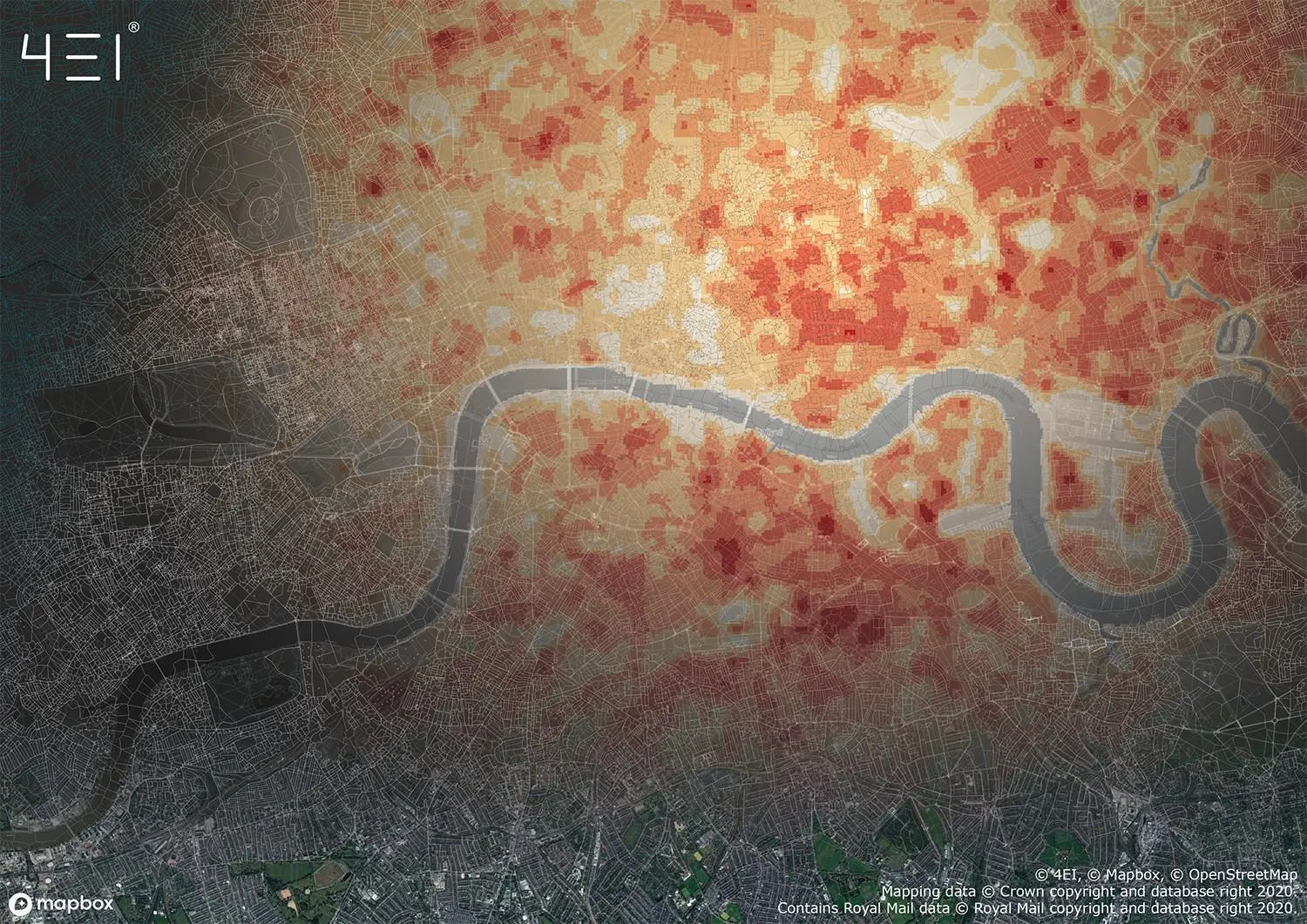
With geospatial analysis is possible to better understand where vulnerable populations live so that they can be protected. We can better plan where urban environments can be protected from heat events by making decisions on where to plant trees or analysis roof materials on buildings to mitigate temperature change.
Geospatial technologies provide tools for understanding how our planet is changing at every scale so that we can anticipate what impact these changes will have on natural resources such as water supply quality; agriculture production; biodiversity conservation efforts; transportation routes and infrastructure planning.
Further support
For further help about how our data can transform your organisation, contact us today
Donna Lyndsay, OS's Strategic Market Lead Environment and Sustainability, talks about her predictions for 2023.
Donna Lyndsay is the Strategic Market Lead for Environment and Sustainability at OS. She supports OS's mission to be a world leader in geospatial services, delivering location insight for positive impact with colleagues, partners and customers. Donna is also Vice Chair of the Space4Climate group who aim to put the UK at the forefront of global efforts to create and use trusted satellite data for climate action.