How expert OS mapmakers see the world differently
Aston University psychologists assess how remote sensing surveyors used 3D aerial images when making maps
OS is well known for its travel and walking maps, but is also responsible for maintaining Great Britain’s National Geographic Database (NGD). Every time a building is demolished or developed, or a new road and path are built, the map must be updated.
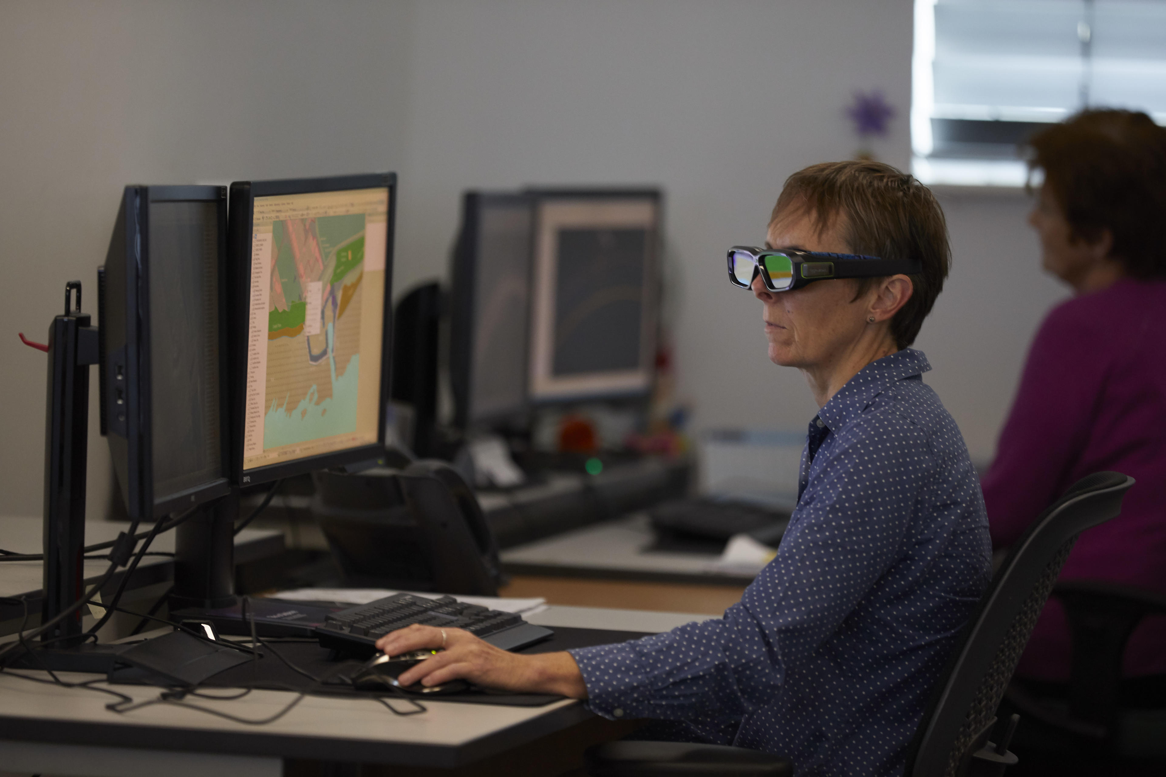
Aerial photographs are taken of the area that has changed, either from a plane or using drones, and expert mapmakers - known as remote sensing surveyors - will examine the images to identify change, and accurately redraw the map of the area.
Image pairs are presented stereoscopically, one to each eye, allowing the remote sensing surveyors to see in 3D and correctly assess the topography, such as ditches, hills, and hedges.
Led by Professor Andrew Schofield, a team from Aston University’s College of Health and Life Sciences, together with Dr Isabel Sargent, previously at OS, carried out a study to understand how remote sensing surveyors interpret the shadows and highlights in images.
The researchers asked six trained remote sensing surveyors and six novices to assess 10,000 stereoscopic aerial images of hedges and ditches, which had been heavily masked with image distortions.
The stereoscopic images the aerial surveyors use for mapmaking are usually taken on sunny days. The human brain is naturally wired to interpret light as coming from above. However, the light does not come from above in the OS aerial images, it depends on the position of the sun. In the UK, north of the equator, light comes slightly from the south, thus appearing to come from below in images viewed by the surveyors.
The researchers wanted to see how manipulating the direction of the light would affect the surveyors. Professor Schofield and the team swapped the image pairs between the eyes in half of the trials, so that hedges might look like ditches, and ditches look like hedges. The images were also flipped vertically on half the trials, changing the direction of the light source.
Expert surveyors were found to rely on the stereoscopic cues - the difference in images seen by the two eyes – when performing the task. Novices were more likely to rely on lighting cues – highlights and shadows – to judge the shape and relief of an object, and assumed, as is natural, that the lighting came from above.
With the manipulated images, this meant that novices frequently made mistakes. Experts were more accurate, even when the images had been turned upside down, and some had learnt to assume that the light source came from the south, or below.
"This is a very exciting result. Others have shown that the light-from-above assumption can be altered by a few degrees, but no one has ever found complete reversals following long-term experience."
This is the first time anyone has shown that the natural assumption that light comes from above, which is common amongst many animal species, can be changed through long-term experience. The researchers say that it could be used to develop new visual training techniques for remote sensing surveyors. For example, intensive exposure to repeated, difficult images can improve performance via a process called 'perceptual learning.'
Dr Sargent said: “This result will help Ordnance Survey to understand the expertise of their staff and improve surveyor training and procedures.”
Remote sensing surveyor Andy Ormerod, who worked on the study, said: “This research proves that experienced remote sensing surveyors can see the world differently. Whereas non-surveyors are used to seeing the world from one perspective, our brains have learned to view the world as seen from aerial imagery.”
The research has been published and can be viewed in the Journal of Vision.
Sharing the latest news about OS. We can license you to use OS maps in print, online and film format. For more information and resources for journalists, bloggers and media professionals, email pressoffice@os.uk or call 023 8005 5565.