Ordnance Survey expands into new territory with geological collaboration
Release of datasets into OS Data Hub will allow better access to authoritative geospatial data
With OS as Great Britain’s leading geospatial data provider, and BGS as the leading provider of the UK’s scientific earth data - both members of the Geo6 - this is an exciting new development, and paves the way for further collaboration with other third parties. It’s the first time that products from another authoritative government data partner have been made available through the OS Data Hub. OS hopes it will be followed by more, to enable developers, data scientists, and geospatial specialists across the nation with easier access to a broader range of geospatial data to support their activities.
This new development has been funded by the Government Office of Technology Transfer’s Knowledge Asset Grant Fund, which supports public sector organisations to explore or further develop new and exciting uses for their Knowledge Assets. This followed engagement with OS and BGS’s customers that showed potential benefits to both public and private sectors from greater access to geological data. This development will enable customers to access OS and BGS data from a single platform, making it easier than ever to create value from geospatial data.
BGS is a data-rich organisation which manages over 400 datasets, as well as digital databases and physical collections e.g. borehole core, rocks, minerals, and fossils. Nine of their primary datasets will now be included as Open Data in the OS Data Hub. The datasets will provide access to large-scale overview maps of ground hazards, for example: where there could be landslides that can inform further assessment, and highlight potential hazards that either need to be regraded or investigated in more detail.

"We are excited to continue to build our relationship with Ordnance Survey as a Geo6 partner, and make nine primary BGS datasets available to users via the OS Data Hub. The OS Data Hub presents a superb opportunity for new, differing user communities to access BGS geological data, and we are excited to see what impact this will bring."
The nine datasets are:
- BGS Geology 625k - bedrock geology showing rock type and lithology for the UK which could be used by academic institutions in understanding geology presence at a regional and national level. The data could be used to work out the percentage geology type in counties or regions of the UK or pairing with a digital terrain model to understand how the geology influences the shape of our landscape.
- BGS Mining hazard (not including coal) 1 km hex grid - this provides a generalised overview of the likelihood for mining to have occurred, a national-scale summary of the presence of mining, and an indication of the level of hazard associated with old workings, generalised into a hexagon cell. Valuable to local authorities to identify potential threats and whether additional investigation is required in planning developments in these areas. Polygon is available from BGS as a licensable data product providing more detail.
- BGS GeoSure 5km hex grid - used to inform potential regional ground instability issues and which types of instability might be present, for example: collapsible deposits, compressible ground, landslides, running sands, shrink-swell, and soluble rocks. This could also be used by local authorities in understanding the types of hazards that may be present in areas when considering planning applications and need for extra investigation that could use the GeoSure data suite for each hazard type.
- BGS GeoClimate UKCP18 Open - shrink-swell national datasets show potential change in subsidence due to changes in climate. They have been developed by combining long-term UK Climate Projection (UKCP) scenarios for rainfall and temperature changes with the geotechnical properties of the ground, to identify areas projected to experience the largest increases in susceptibility to subsidence over the next century. The data could be used by lenders, insurers, and large UK companies that require a screening tool to assess their potential future exposure to subsidence and the need for large UK private companies to adhere to climate change reporting requirements. Further investigation can be undertaken with the BGS GeoClimate UKCP18 premium data.
- BGS GeoCoast Open - contains a detailed suite of statistical data based on the underlying datasets (GeoCoast Premium). These include, for example: percentage of county at threat from inundation, and percentage of county coastline with high susceptibility to erosion. In addition, there is a tool to compare or share best practice at a regional scale and streamline the consideration of multiple underlying datasets through a simple, high-level scheme, presented as domains. The data is of particular use for coastline planning and assessing risk to assets and infrastructure.
- BGS GeoScour Open - this provides a generalised overview of the natural characteristics and properties of river areas for the assessment of river sediment. This could help local authority planning by identifying the potential risks associated with flooding. The same can be said of asset owners and the potential for mitigation measures if assets such as bridges could be affected. Further investigation can be undertaken with the BGS GeoScour Premium data.
- BGS Hydrogeology 625k digital hydrogeological map of the UK - indicates aquifer potential in generalised terms using classifications defining flow based upon the geology. The data will be of use to hydrogeologists and groundwater management specialists who require a national understanding of groundwater flow to aid water management strategies.
- BGS/UK Health Security Agency Radon data: Indicative Atlas of Radon - a simplified version of the radon potential dataset with each 1 km-grid square being classed according to the highest radon potential found within it. The UK Health Security Agency recommends radon levels should be reduced in homes where the annual average is at or above 200 becquerels per cubic metre (200 Bq/m3). Local authorities can use this data as a screening tool for identifying areas that require further investigation with the detailed Radon Potential dataset.
- BGS Soil Parent Material Model - parent materials provide the basic foundations and building blocks of the soil, influencing texture, structure, drainage, and chemistry. This model details the distribution of physiochemical properties of the weathered and unweathered parent materials of the UK to help identify soils and landscapes sensitive to erosion or deficient in nutrients - useful for farmers and crop scientists.

"I am delighted that we have extended the OS Data Hub to include data from British Geological Survey. Ordnance Survey is constantly looking to provide a greater and richer variety of data to customers whether above or below ground, so adding the BGS datasets - which is a first for us - will extend our offering to our customers significantly. As we explore this new territory for the OS Data Hub, we really hope to encourage other third parties to collaborate with us - and for new and existing customers to explore the new data available to support their own challenges."
The OS Data Hub launched in July 2020, and now supports around 40,000 individuals and organisations across the public and private sectors. It provides a suite of geospatial APIs and data downloads which can be integrated into users’ apps and solutions, to create new value and insights from geospatial data. It allows access to addressing data, road networks, greenspace, topography, and many more.
For more information about BGS, go to https://www.bgs.ac.uk/.
Download OpenData from the OS Data Hub
Sharing the latest news about OS. We can license you to use OS maps in print, online and film format. For more information and resources for journalists, bloggers and media professionals, email pressoffice@os.uk or call 023 8005 5565.
Products and solutions featured in this news article
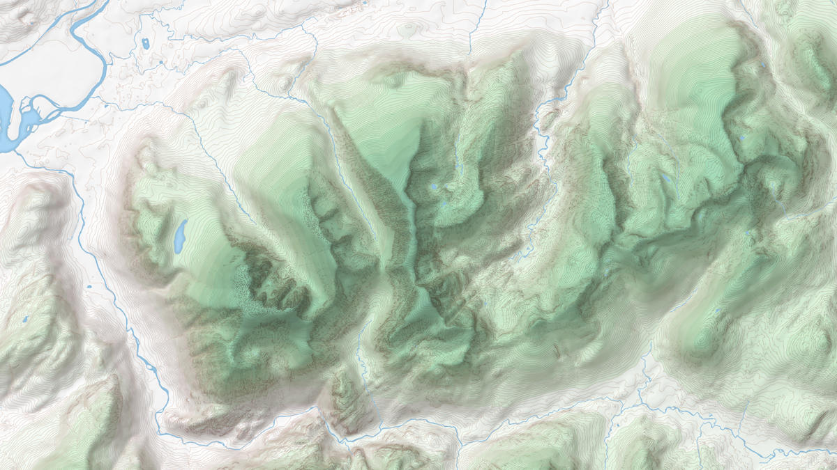
OS Terrain 50
OS Terrain® 50 is an open height dataset of contours with spot heights, breaklines, coastline, lakes, ridges and formlines for Great Britain.
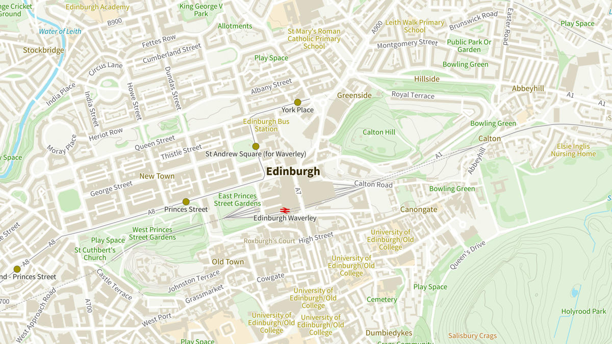
OS Open Zoomstack
Ordnance Survey's OS Open Zoomstack is an open vector basemap showing coverage of Great Britain from a national level, right down to street detail.
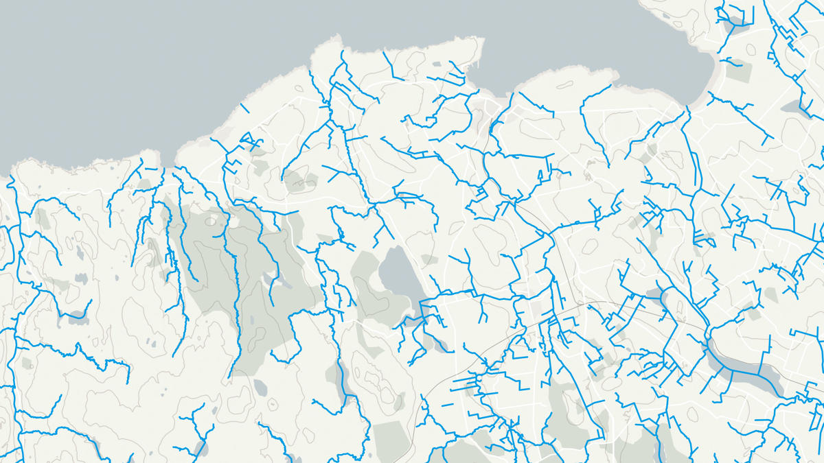
OS Open Rivers
An open dataset of the high-level view of watercourses in Great Britain.