New year, new product formats
The remaining premium products will be releasing in their new formats this year, creating consistency across our portfolio and increasing the usability and value of our data for you.
We hope you have found our first few releases useful and that the new formats have saved time and effort when using our products, bringing greater efficiency to our users.
Progress so far
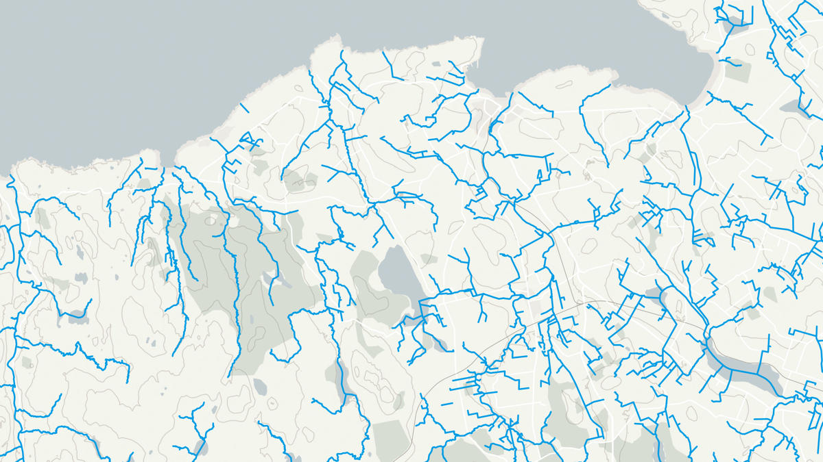
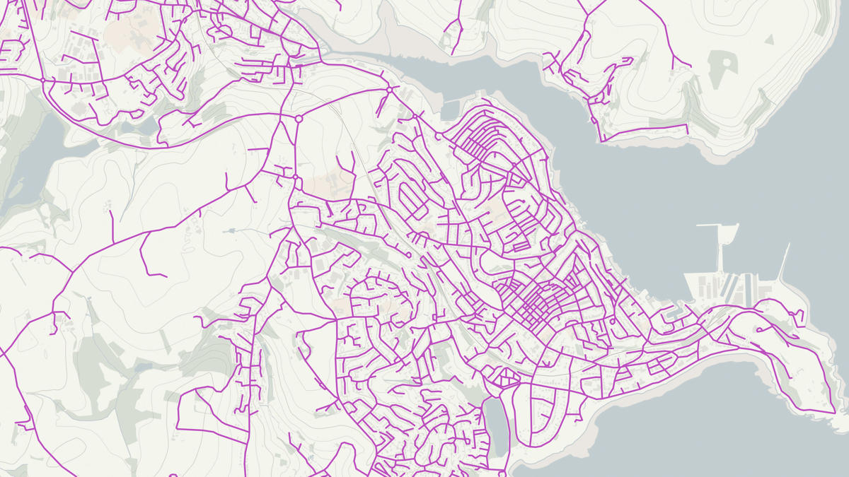
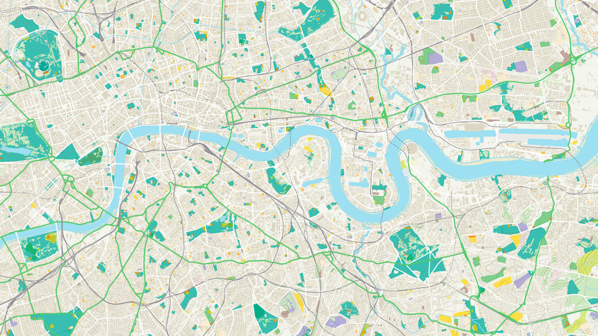
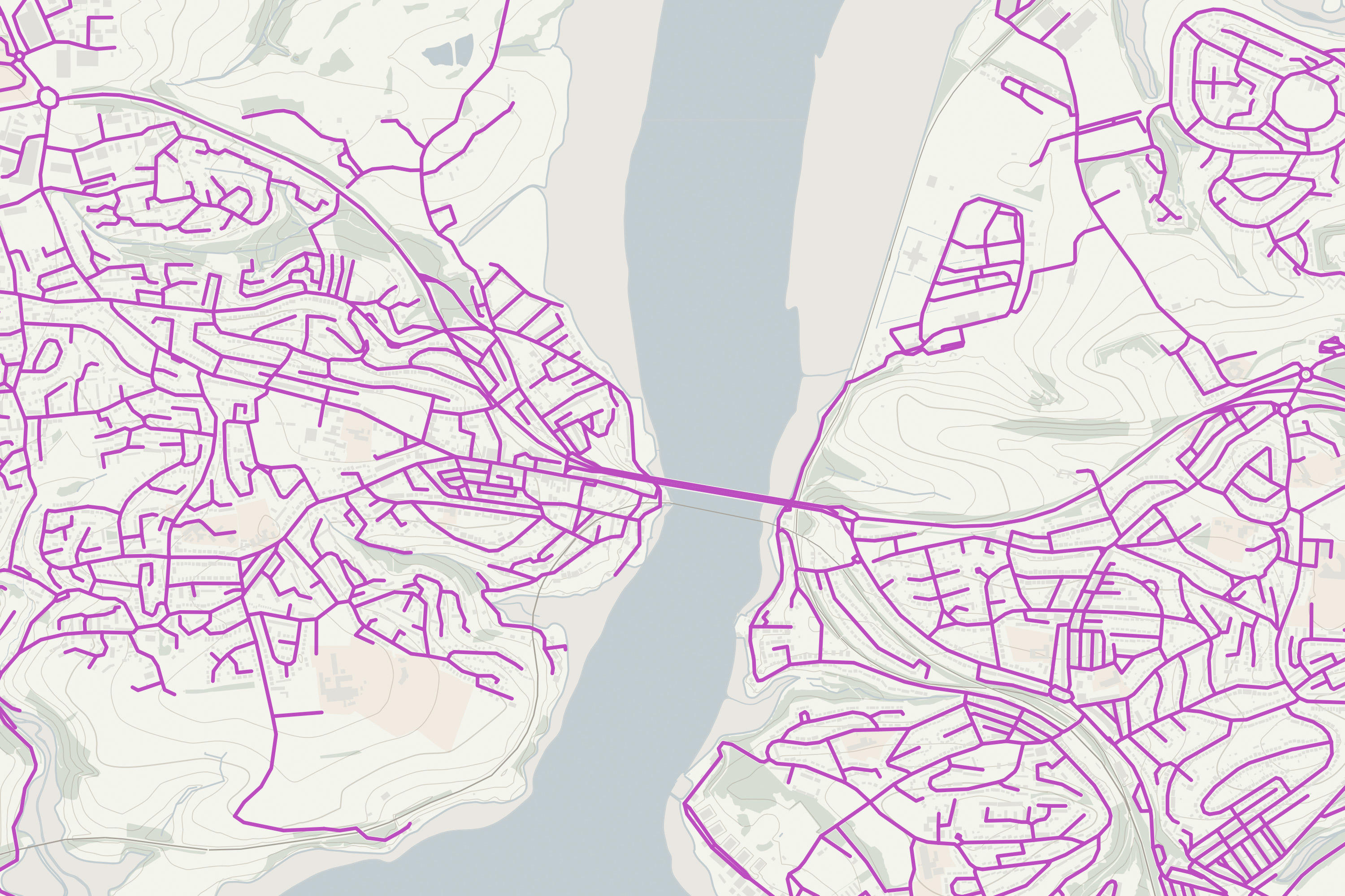
Throughout 2021, all open products were released in their new formats. As part of their April releases, OS Open Greenspace, OS Open Roads and OS Open Rivers were made available in Vector Tiles (MBTiles). These will work well alongside the OS Open Zoomstack Vector Tiles, a great option for web and mobile mapping which is becoming more popular amongst GIS software too. Just like our whole range of OS OpenData products, these will be easily and freely downloadable from the OS Data Hub.
Read more here about how our users have benefited from this format already.
"By handling the tedious tasks of data management and packaging the data in a ready-to-use format, I was able to focus entirely on the creative and enjoyable process of cartographic design."
New formats for premium data
October 2021 saw the start of our premium products releasing in their new formats. Things kicked off with OS MasterMap Detailed Path Network launching in the Geopackage and Vector Tiles formats. This was followed by the December releases of Addressbase Premium and Premium Islands in Geopackage, then the 1:25k and 1:50k Colour Raster products releasing in the GeoTIFF format. Premium data downloads are available from the OS Data Hub for PSGA members and OS Partners.
OS MasterMap Water Networks launched in both Geopackage and Vector Tiles this January alongside Vector Map Local. February 2022 will see the release of the other networks products (OS MasterMap Highways Roads and Paths) in Geopackage and Vector tiles too, with OS MasterMap RAMI being released in the Geopackage format only. Codepoint Geopackage will also be coming out in February and the remaining products will all be available by April 2022.
You can find a list of what’s coming here.
Accessible geospatial data
A key benefit of these formats is the ability to get started quickly – they help lower the barrier to entry and remove certain data management overheads. Here are some of the main benefits of each:
Benefits of Vector Tiles
- Lightweight tiles that are efficient and fast to render in your software
- High resolution, beautiful mapping for all devices (web and mobile)
- Seamless user experience when zooming in and out of maps
- Advanced features - Vector Tiles contain actual geographic data (not just images) which can be interacted with
- Offline maps - store the tiles locally to take your maps offline e.g. on mobile devices
- Data will be supplied in Web Mercator projection (EPSG:3857)
Benefits of GeoPackage
- An increasingly utilised, open standard OGC GeoPackage
- The single file is easy to transfer and offers drag and drop functionality
- No file size limit so lots of data can be easily accommodated - great for GB national coverage
- Broadly implemented (GDAL, QGIS, R, Python, Esri and many more)
- More lightweight than a real geodatabase, but just as fast as a geodatabase
- Data will be supplied in British National Grid (ESPG:27700)
Benefits of GeoTIFF
- Georeferencing embedded – no need for external reference files
- Used a lot in the geospatial industry, especially Earth Observation
- An OGC Standard – widely supported
- Drag and drop into lots of compatible software
Benefits of the OS Data Hub
Whether you’re new to geospatial or a GIS data expert, the OS Data Hub grants access to our data. Discover our platform and the benefits of using it, along with an explanation of the types of GIS data you can get.

Our highly accurate geospatial data and printed maps help individuals, governments and companies to understand the world, both in Britain and overseas.
Products and solutions featured in this blog
OS Open Rivers
An open dataset of the high-level view of watercourses in Great Britain.
OS Open Roads
An open dataset of the high-level view of the road network in Great Britain.
OS Open Greenspace
An open dataset of greenspaces in urban and rural areas including playing fields, sports’ facilities, play areas and allotments.