How land tenure rights can boost GDP and grow a stronger economy
With many nations facing economic recession in the wake of the Covid-19 pandemic, governments around the world will be looking to kickstart economic growth.
Establishing a digital basemap can increase economic growth
A geospatial readiness assessment can provide an investment roadmap that governments can use to grow their economies. For example, establishing a digital basemap can help secure property ownership and land rights, which are vital for core functions of the state and economy. Families are more economically active and have fewer children when they have land rights. When ownership of land and proper addressing can be established, the state can collect tax and individuals can apply for mortgages and loans.
According to the World Bank, only 30 percent of the world’s population has legally registered rights to their property and homes meaning huge portions of the global population don’t have proper land rights, locking them out of employment and making it difficult to borrow money and start businesses.
In the UK, the value of geospatial data and its power to unlock economic growth has been recognised by the creation of the Geospatial Commission, of which Ordnance Survey is a partner body. One of the Commission’s first projects was to provide a £130 million per year boost to the UK economy by expanding access to Ordnance Survey’s Public Sector Geospatial Agreement (PSGA). This allows start-ups and other commercial businesses to access Ordnance Survey’s core geospatial product, MasterMap, providing the private sector with the same access to a world-class geospatial product enjoyed by public sector agencies free at the point of use.
The Geospatial Commission believes that geospatial data could unlock £11 billion worth of economic growth in the private sector per year in total. The UK now has in place a geospatial strategy that sets out priorities and a roadmap to 2025.
Ordnance Survey works with other countries and their mapping agencies to drive economic growth internationally too. As part of this, we offer the commercial service of carrying out a geospatial readiness assessment for national governments. This gives them a clear picture of how sophisticated their geospatial ecosystem is currently, and what they need to do to maximise the value of their land.
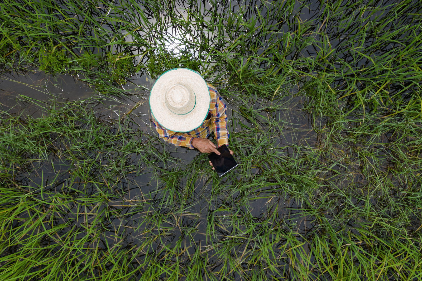
In rural communities, land can provide a primary source of income, food security, cultural identity and shelter. It also serves as a fundamental asset for the economic empowerment of the poor and provides a safety net in times of hardship. Secure rights to land and greater equity in land access are important for poverty reduction and are central to the attainment of the Sustainable Development Goals (SDGs).

Land tenure rights and Africa’s Economy
Securing land tenure rights is critical to smallholder development and economic growth. With a system of property rights that is viewed as legitimate, smallholders can use their claim for collateral for agricultural inputs, improvements, and enterprise expansion. Geospatial data, in its ability to authoritatively record precise property boundaries, is a vital tool in modernising land administration, which is likely to benefit Africa. The Economic Commission for Africa has recognised the importance of the role geospatial data plays in the continent’s sustainable planning and development. The challenges of climate change and overexploitation of natural resources can be easily addressed with analysis of changes across African land surface and coastlines. This understanding of changing landscapes will be an essential tool in policy decisions concerning commercial efficiency and economic growth for businesses.
In Ethiopia for example, Ordnance Survey led an interactive workshop for delegates from a number of African ministries to explain how the effective use of accurate geospatial information could benefit the country. With a population set to double within 25 years, the need to use land effectively in Ethiopia has never been stronger. The project raised awareness of how accurate information about land boundaries and ownership and effective governance could attract overseas investment for the benefit of local people.
Improved geospatial capability
We help countries all over the world benefit from our geospatial expertise and experience

Region Director, Europe, Central Asia, Africa and the Americas, Ordnance Survey