What are OS Identifiers?
In the first week we were pleased to see hundreds of new customers sign up to try them out. We’re keen to see more use through our existing and new customers, so if you’re interested, sign up today. Keep reading to find out more about OS Identifiers.
OS Open Identifiers
Hopefully it’s not just us, but we definitely found ourselves spending more time and money on online shopping throughout lockdown. Thankfully when we get to the point of entering our address, placing our order and receiving our purchases, we don’t need to think about how any of this works.
This process is becoming ever increasingly efficient, adapting to our ever-increasing demands for quicker and more bespoke services; but have you ever wondered how this is enabled?
At OS, we have several different products which provide a vital role in supporting the identification of households, key routable networks and understanding a delivery site even before a delivery is attempted. These products contain vital identifiers known as the Unique Property Reference Number (UPRN), Unique Street Reference Number (USRN) and Topographic Identifier (TOID) to allow many private and public sector organisations to join multiple datasets together to improve their understanding of the world we live in.
In fact, these identifiers have proved so useful that the use of the UPRN and USRN has now been mandated within central government, with adoption levels already significant within local government. This will enable the service being provided to citizens to be further enhanced, and many more datasets brought together unlocking new insights.
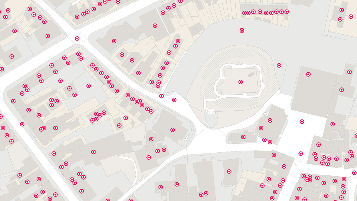
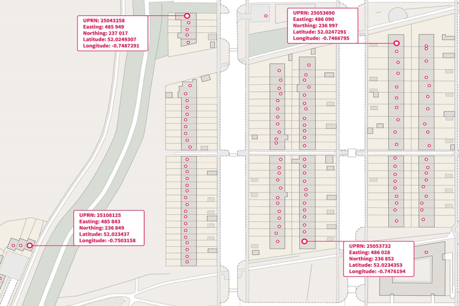
OS Open UPRN
Something this good should be shared as wide as possible, and that’s what we are doing now. The OS Data Hub launch in July included our new OS Open UPRN product and so far, it has proved to be the most popular new open data product as part of our July deliverables. The product gives open access to a number allocated to every addressable location in Great Britain, giving all these locations a unique identifier which will never be changed for its entire lifetime.
OS Open USRN
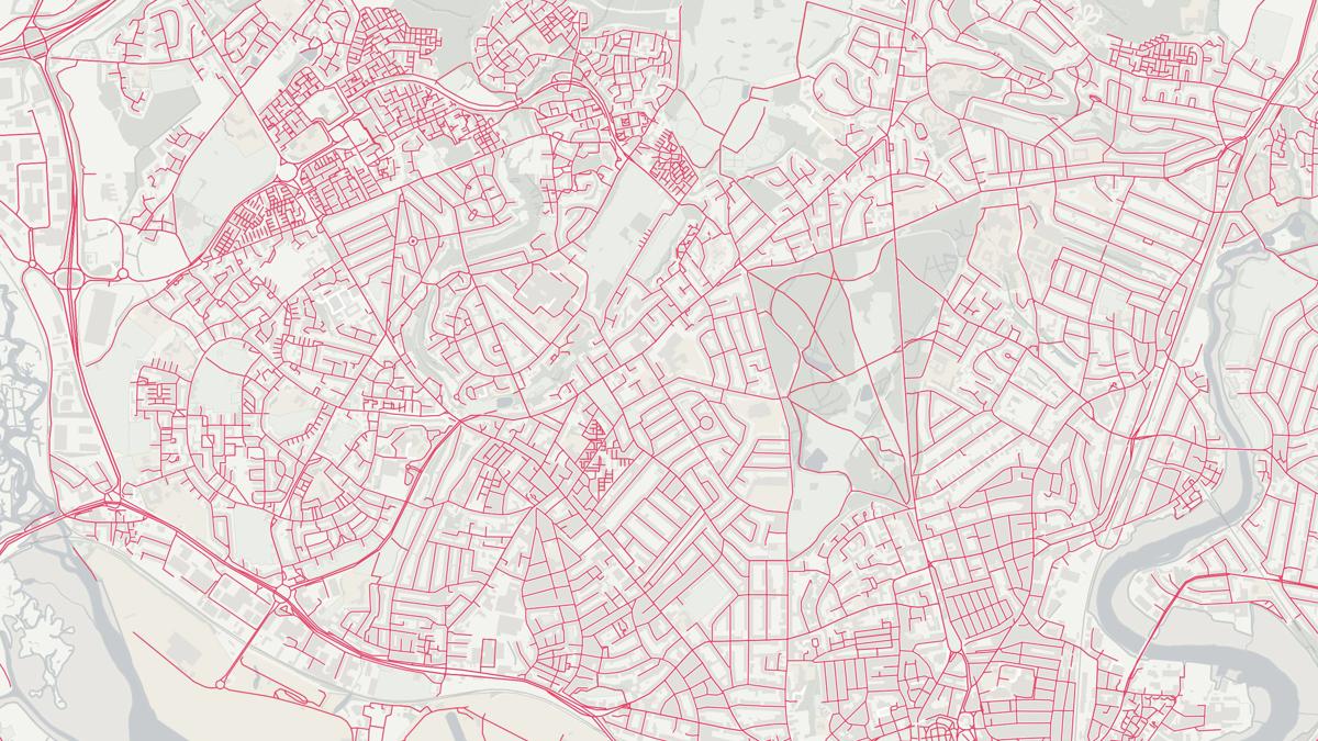
It can’t all be about properties though, as we mentioned streets are also important so we’ve opened these up too. For every street, footpath and right of way, there is a Unique Street Reference Number known as the USRN – so now your street has an 8-digit number! We’ve made this open via the OS Open USRN product (launched at the same time) which depicts a simple line for each street USRN. Your local authority uses the USRN to approve and coordinate when streets are being dug up.

OS Open TOID
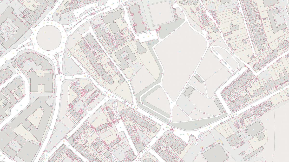
Now Great Britain is more than just buildings and roads, so we have a solution for that too called Topographic Identifier (TOID).
We use the TOID in our datasets to track all the points, lines and polygons it draws in maps. They are also used in the navigable road network products for road, junctions and bridges. If someone has given you a TOID, then you have a link to our data and you will be able to tell what it is, where it is and when it was last changed. This means there is practically a TOID for everything in GB, be it a fence, hedge, road junction, stream, power line, garden, wood… well you get the idea!
We have also made our TOID data open too! The OS Open TOID dataset gives a point location for the TOIDs in our OS MasterMap products, which means any data that is published against them can now be visualised for free.


OS Open Linked Identifiers

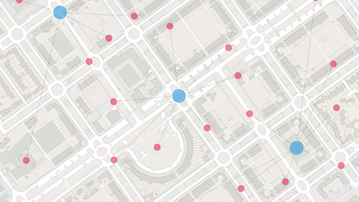
OS Open Linked Identifiers brings UPRN, USRN and TOID altogether. Now you can find the building footprint TOID for your addresses UPRN and know what the USRN for the access street is! If the council need to dig up your road, then they can quickly go from the USRN of the street they plan to work on to all the UPRNs of the people they need to notify. It’s a powerful and efficient system and, as the name suggests, it’s free too!
To make the use of these identifiers in other people’s data easier, we’ve created a simple and clear overarching OS Identifier Policy covering the use of UPRN, USRN and TOID. This allows users to match OS Identifiers to their own data, enabling you to track change and understand the spatial context (where it is and what’s around it).
OS Data Hub
Through the OS Data Hub, you can access all these datasets for either download or direct access via our new APIs. The OS Linked Identifier API glues all our new APIs (OS Features API and OS Vector Tile API) together to enable you to build a great interactive web map application.
So, you can click on the UPRN for your home and have its street highlighted and see all the other addresses on your street. If you just want to know where something is, then we have OS Names API which will help you find the location of streets, postcodes, settlements, forests, beaches and much more.
When you need more the OS Data Hub gives more…
The OS Data Hub give you access to more than just Open Data, you can also access our premium data via the same OS APIs when you sign up for our Premium plan. What’s more, your first £1000 of data a month is free!
This enables you to render a map with our OS Vector Tiles API which includes TOIDs for each feature, so when someone clicks on a building polygon, you can extract the TOID from the rendered map and use the OS Linked Identifiers API to access the UPRN for that building, then from there you can access the other related features such as the USRN of the access street.

Explore the OS Data Hub
With over 20,000 updates to our databases every day, you have access to a comprehensive and up-to-date set of authoritative data through the OS Data Hub

Our highly accurate geospatial data and printed maps help individuals, governments and companies to understand the world, both in Britain and overseas.
Products and solutions featured in this blog
OS Open UPRN
An open dataset enabling linking, sharing and visualisation of data related to UPRNs.
OS Open USRN
An open dataset containing all USRNs from OS MasterMap Highways Network with a simplified line geometry.
OS Open TOID
A dataset of unique identifiers for a wide range of land-scape and built environment features with a generalised location from OS MasterMap products.
OS Open Linked Identifiers
An open dataset of cross-referenced identifiers between various OS data products.