Challenge
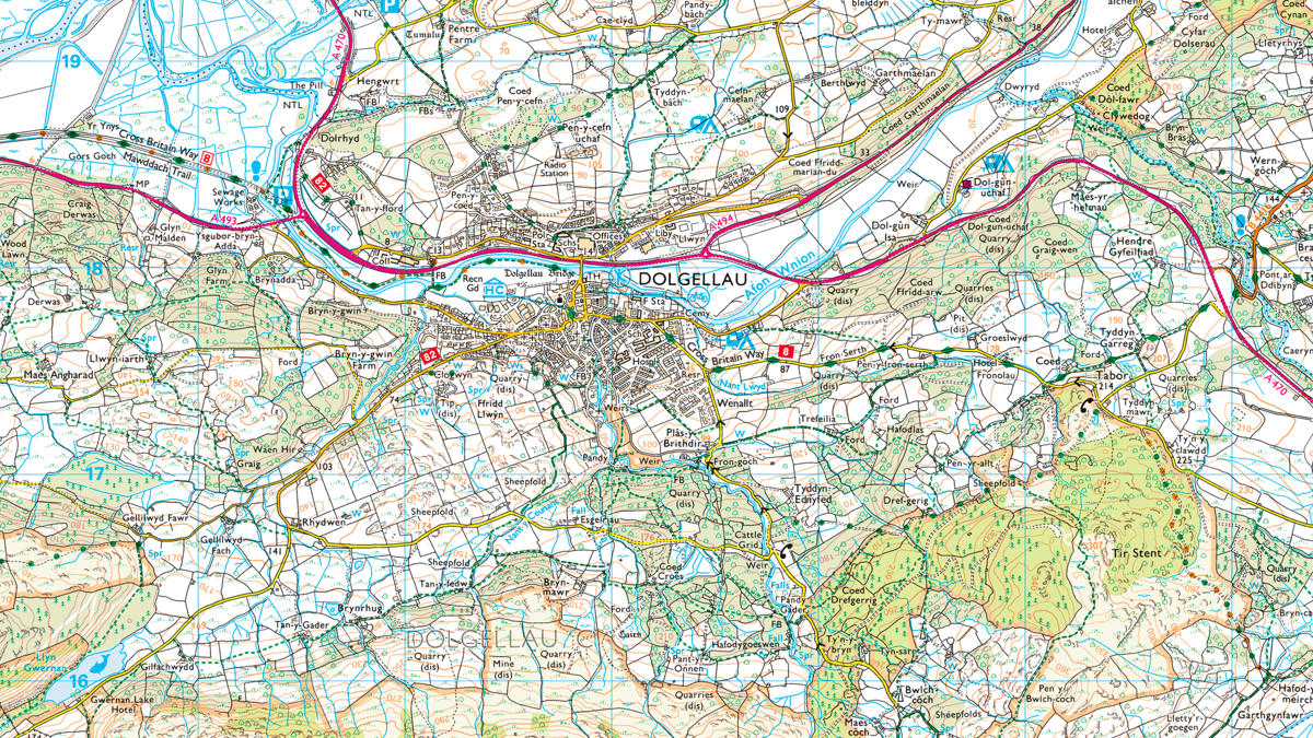
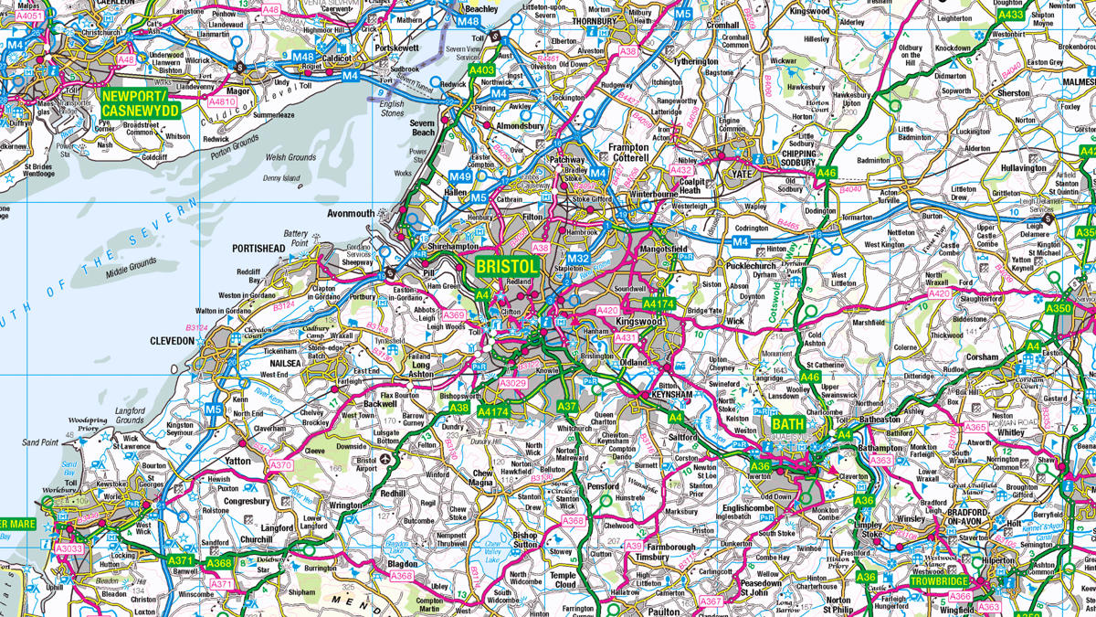
Incidents can happen anywhere, from Central Manchester to remote moorland, across an area of more than 5,000 squares miles – home to over 5.5 million people.
However, allocating fire resources efficiently can be challenging:
- Before the PSMA, some of the Fire and Rescue Services (FRS) were mobilising resources based on the proximity of the nearest fire station to the incident rather than the location of the nearest available 'resource'.
Solution
NWFC mobilises the quickest available resources to life-risk incidents using systems from Telent, Hexagon, Aligned Assets and others. They also use OS data including AddressBase Premium, OS MasterMap Topography Layer and OS MasterMap Integrated Transport Network (ITN).
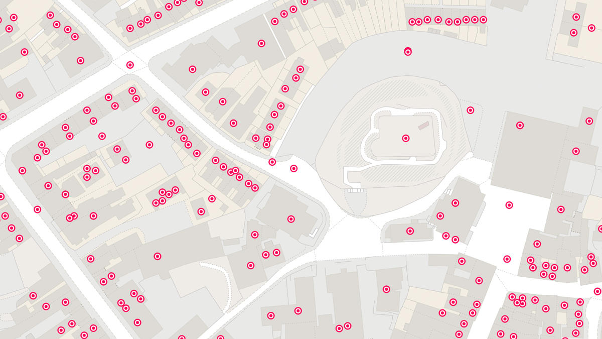
Using BT’s Enhanced Information Service for Emergency Calls (EISEC) system, incoming calls are immediately mapped onto the NWFC GIS to identify the caller’s location. Thanks to in-cab Automatic Vehicle Locators, their mobilising system can calculate, recommend and send the resource that will get to the incident quickest.
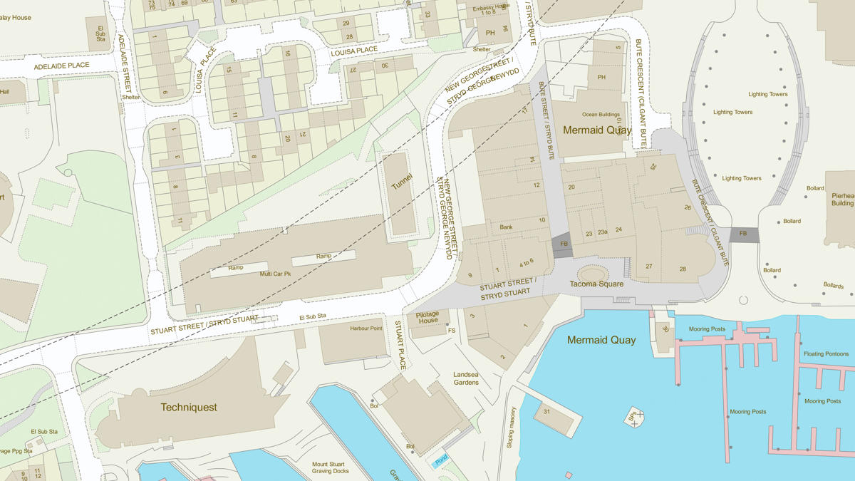
OS data also plays a vital role with mobile callers. GPS triangulation indicates on the map the likely location of the caller to within a few hundred metres. Operators use mapping to identify local landmarks and features to pinpoint the incident. If the caller can’t give an address, the operator can get it from AddressBase Premium using the x and y map coordinates of the location identified.
Result
- Addressing data gives NWFC’s integrated control centre detailed location information for four counties, plus 50km into the areas covered by 11 neighbouring fire services.
- There is better mobilisation across FRS borders thanks to the visibility of all resources.
- The new approach promotes inter-agency working with partners who share AddressBase products.
- Significant time, staffing and resource savings are made by sending the nearest available and most appropriate resources to each incident.
- Resources can now be mobilised to urgent incidents wherever they occur.
"A single system allows for wider geographical visibility of all resources, enabling enhanced cross border mobilisation with scalable map displays pinpointing not only the location of an incident, but also the location of the caller and the nearest appropriate resources through Automatic Vehicle Locating Systems."