Authoritative data
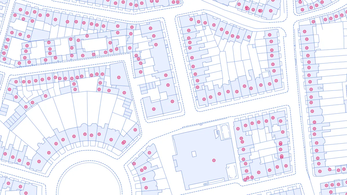
Contains Local Authority, Ordnance Survey and Royal Mail addresses, each uniquely referenced by the UPRN.
Download a small area of AddressBase Premium. Or try out the real thing by applying for a Data Exploration Licence.
Contains Local Authority, Ordnance Survey and Royal Mail addresses, each uniquely referenced by the UPRN.
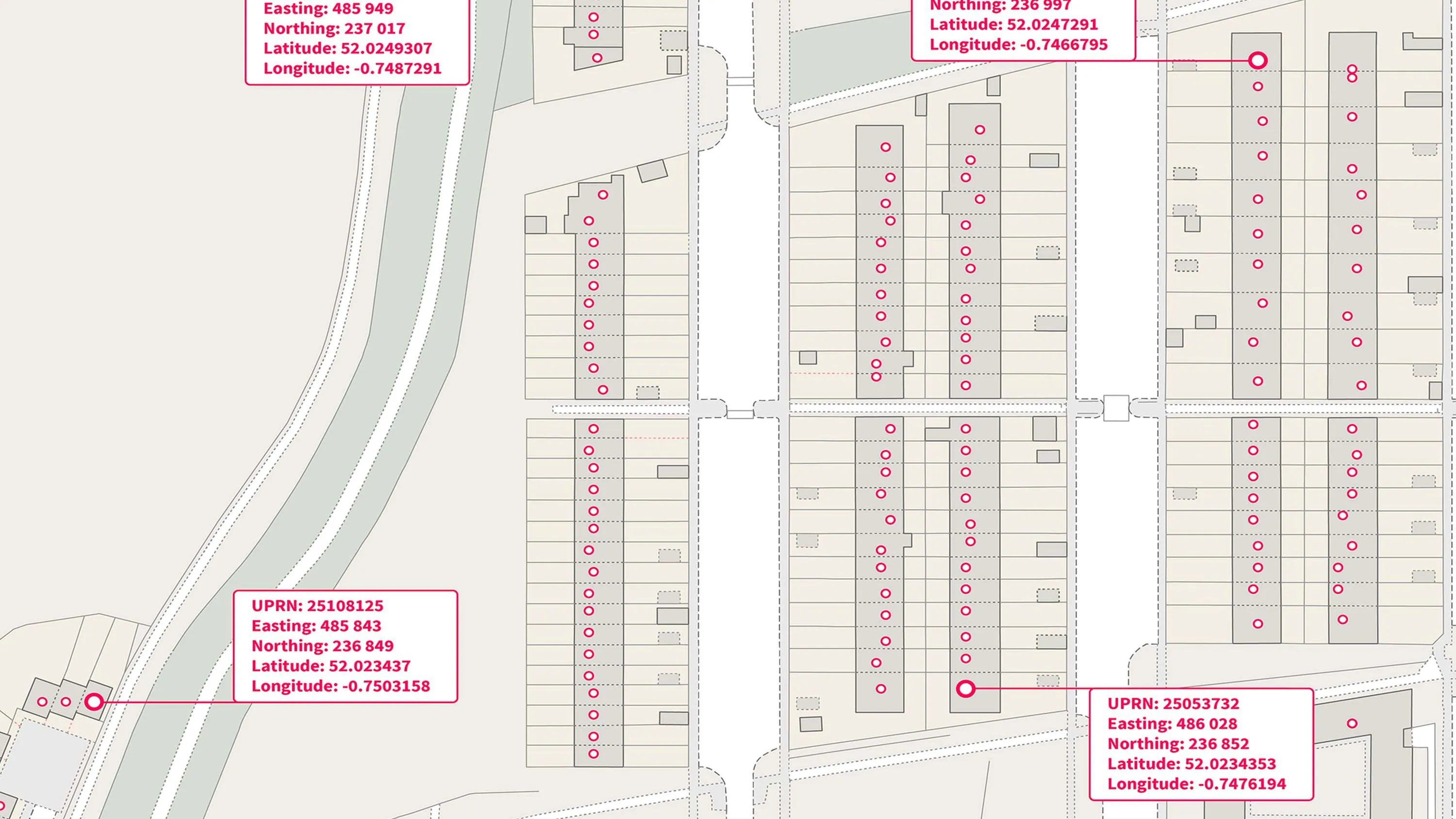
Property level coordinates within AddressBase Premium allow you to conduct analysis at the level of individual addresses and spot patterns hidden in your own data.
With UPRNs being assigned as soon as planning permission is granted, with AddressBase Premium you'll have all the information you need to shape the way you plan, operate and communicate with your audience.
Each address is referenced by the Unique Property Reference Number (UPRN), a persistent identifier for each address allowing you to manage addresses and making your processes more efficient.
An addressing gazetteer offering full lifecycle information of a property for Northern Ireland, Isle of Man and the Channel Islands.
A complete address data collection for Great Britain, including UPRNs, property classification, postal status, and construction status.
An open dataset enabling linking, sharing and visualisation of data related to UPRNs.