
Location intelligence for managing climate change
Discover how location is supporting environmental programmes.

Validate carbon offset activity and help protect your business from greenwash
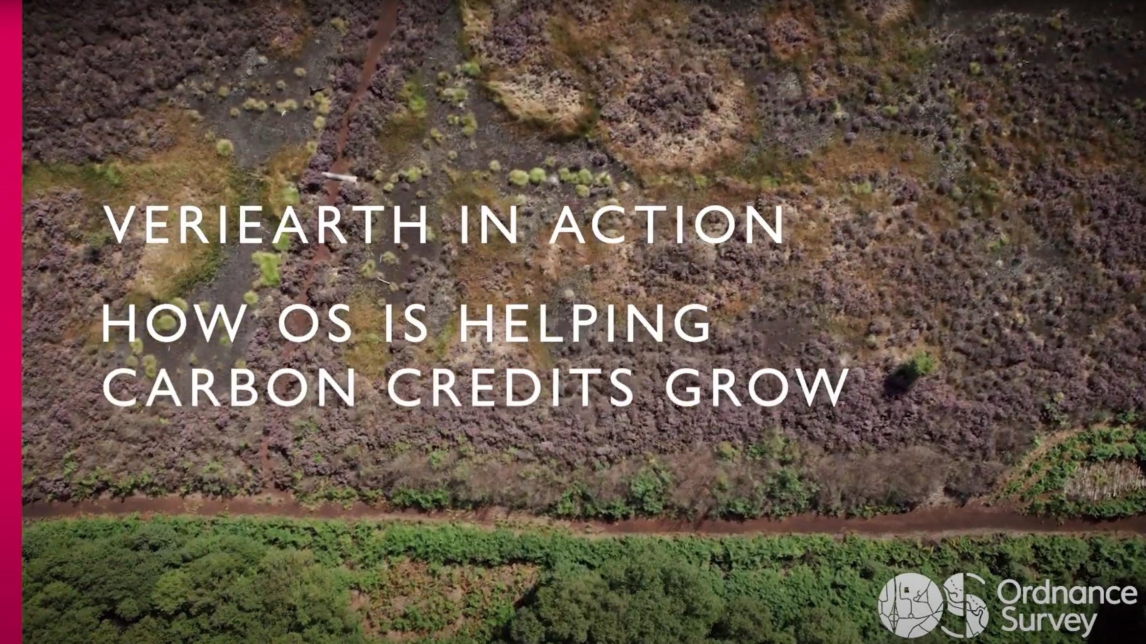
OS VeriEarth® is a new monitoring and verification service to support nature-based restoration and carbon offsetting. It aims to deliver clear visibility of the effectiveness of nature-based restoration, validating investments and helping protect against greenwashing claims.
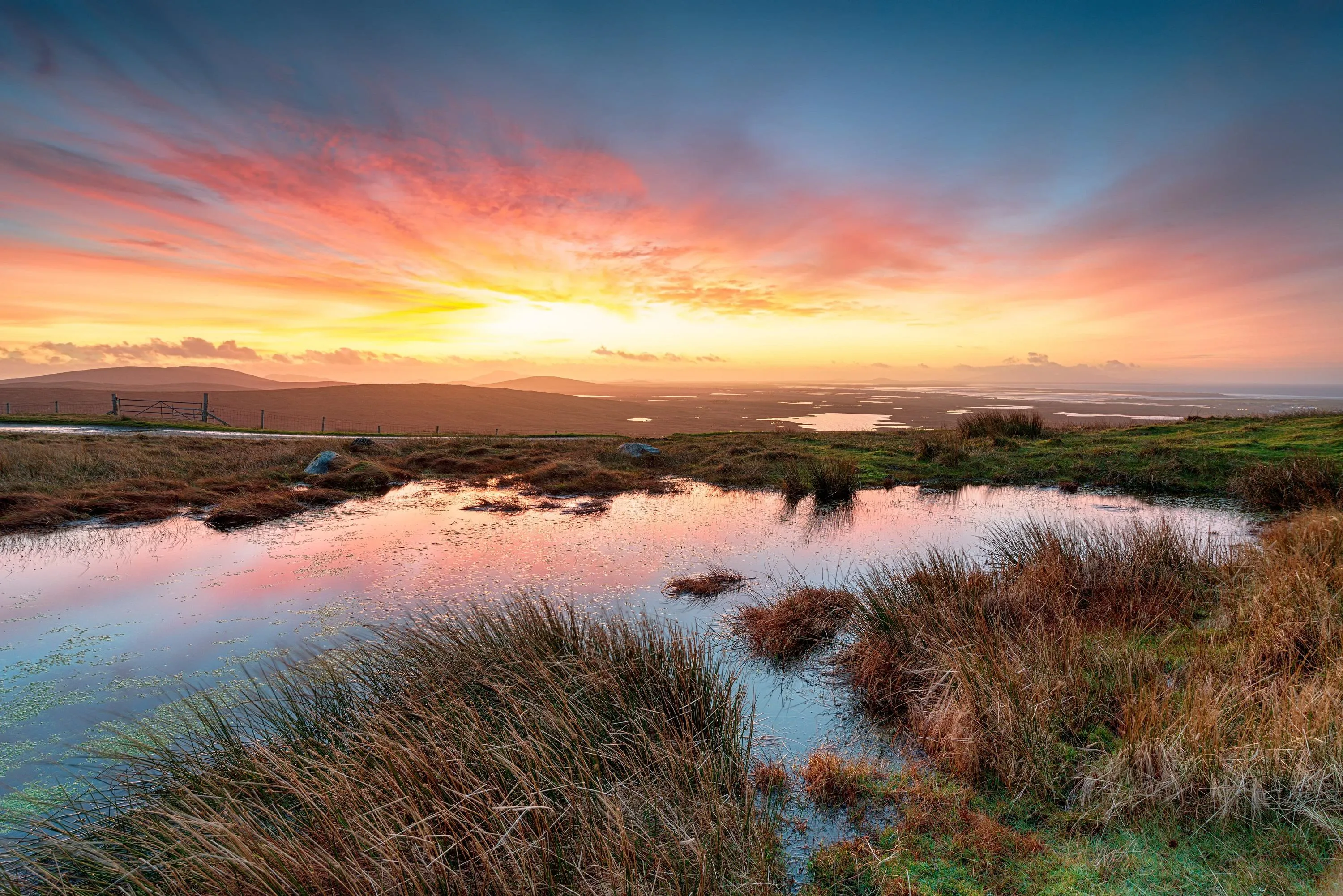
Habitats such as peatlands and mangroves are vital carbon stores and the restoration of these environments delivers significant carbon capture potential to mitigate the impacts of climate change.
Understanding the suitability of sites requires accurate baseline reporting to ensure optimal locations are invested in.
Validating the effectiveness of these nature restoration investments is then critical to establish that carbon capture is happening and to arm investors with independent reporting to guard against reputational damage from greenwashing claims.
Easy to use and understand dashboards that remove the burden of data capture or complex reporting.
Independent, trusted and verifiable monitoring to help validate your investments and provide a robust defence against greenwashing claims.
Validation of nature restoration carbon offsetting which supports recognised international Voluntary Carbon Standards.

Built on Ordnance Survey’s deep expertise in objective data collection, curation and change detection, OS VeriEarth® combines satellite and ground-based data with location intelligence to create and visualise a baseline of the habitat in a target location.
Algorithms then detect and monitor change from ongoing feeds of data, measuring key indicators of habitat restoration such as vegetation species, cover and health or water table depth.
The result is clear and simple dashboards that provide transparent, independent and quality assured reporting which demonstrate that carbon reduction investments are delivering the desired outcome.
Working with Natural England and Durham University, OS VeriEarth® is being used to produce a detailed carbon model for Thorne and Hatfield Moors in the North of England, a key peatland habitat.
The project will deliver an accurate and detailed map of the peat moors to help monitor peatland health and facilitate the regeneration of this vital carbon store.
OS’s teams are combining geospatial and satellite data to analyse the current condition of peatland, creating a dashboard that will meet the standards of high integrity carbon accounting.
Interested in how Ordnance Survey’s location expertise can help with your sustainability initiatives?
Let's talkTo speak to customer services, please use this support form
Discover how location is supporting environmental programmes.
Why it's essential to monitor and report on climate change with geospatial and earth observation data.