Search for OS data products
Search below to find the best geospatial data product for you
Filters (0)
- Page 1

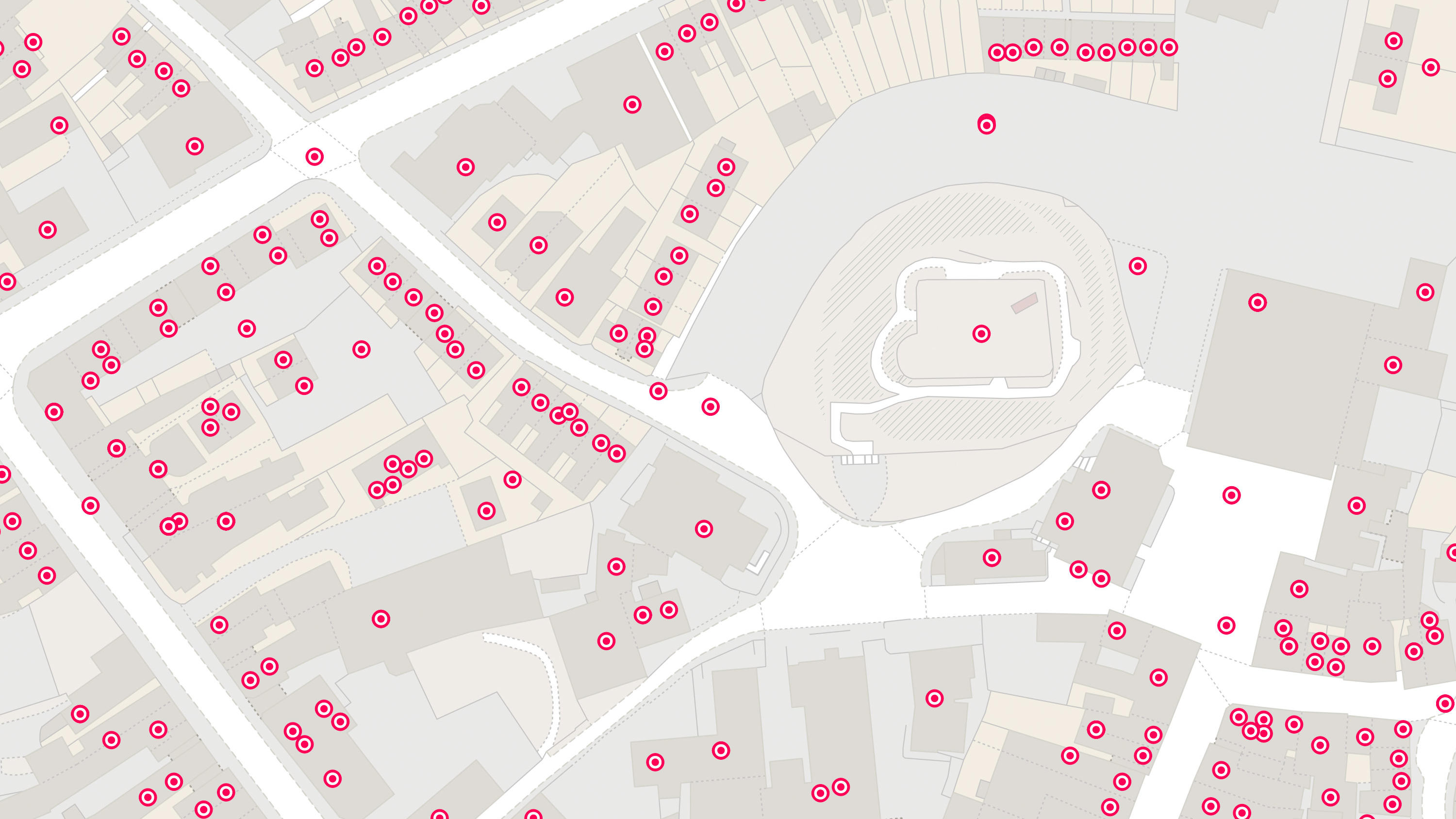
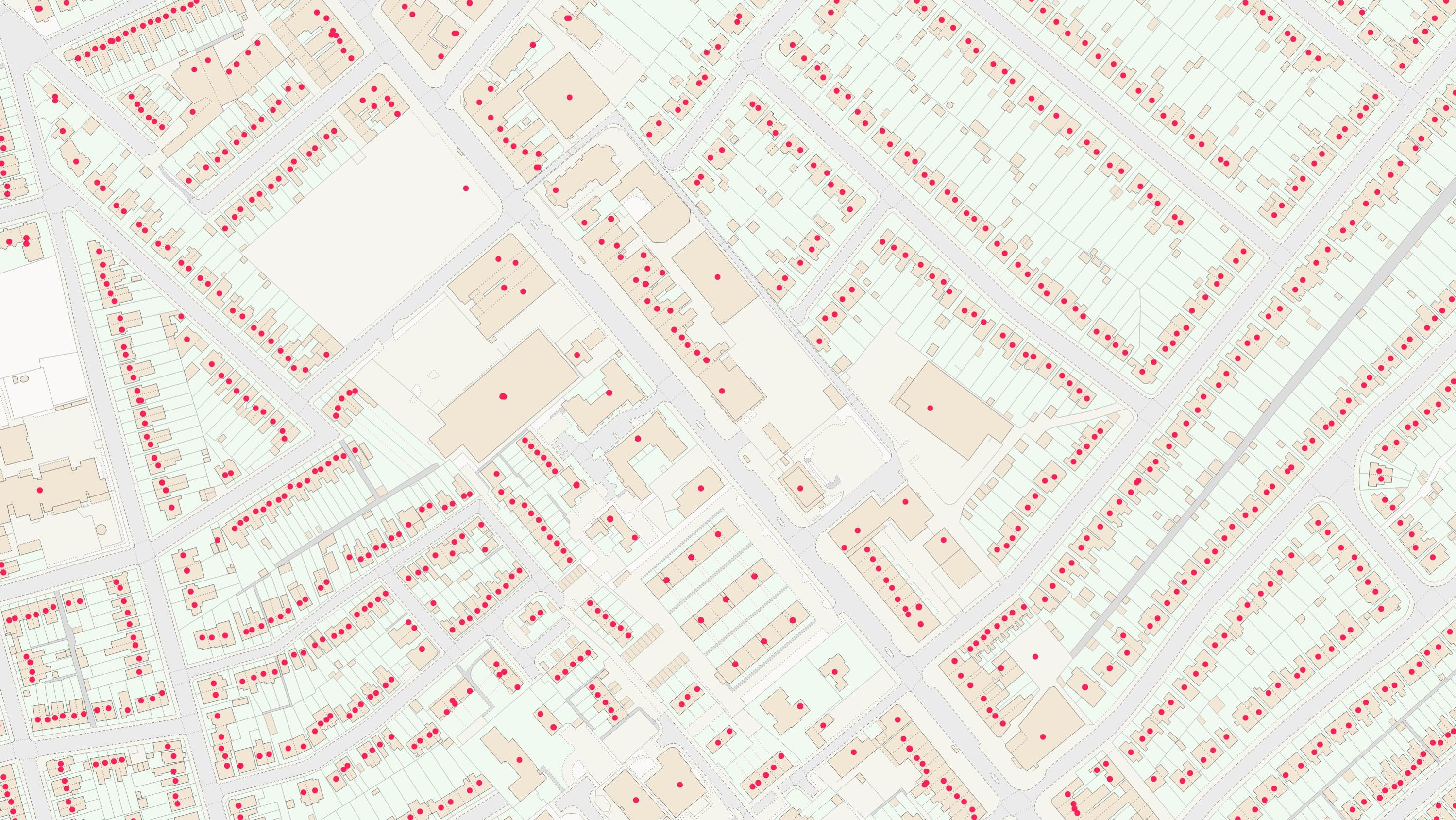
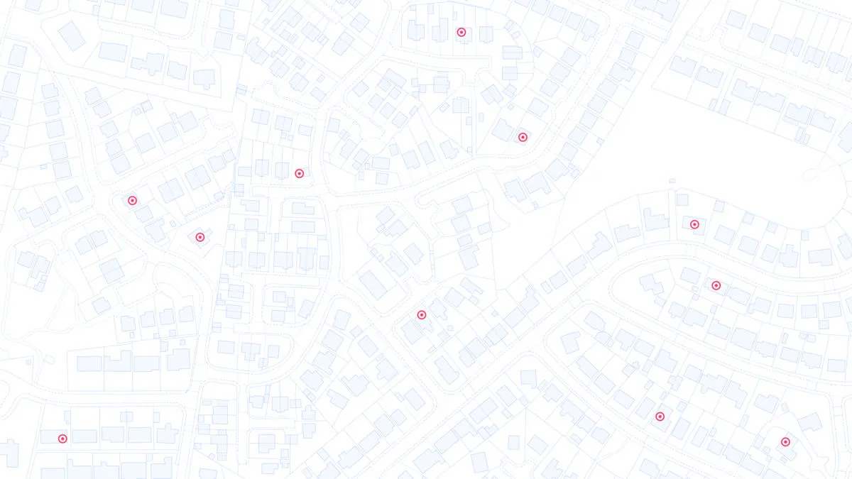
Ordnance Survey's Code-Point Open is an open dataset of all the current postcode units in Great Britain.

An addressing gazetteer offering full lifecycle information of a property for Northern Ireland, Isle of Man and the Channel Islands.
With OS Features API, you can filter Ordnance Survey data for buildings, roads, rivers, hospitals, playing fields, and greenspaces.

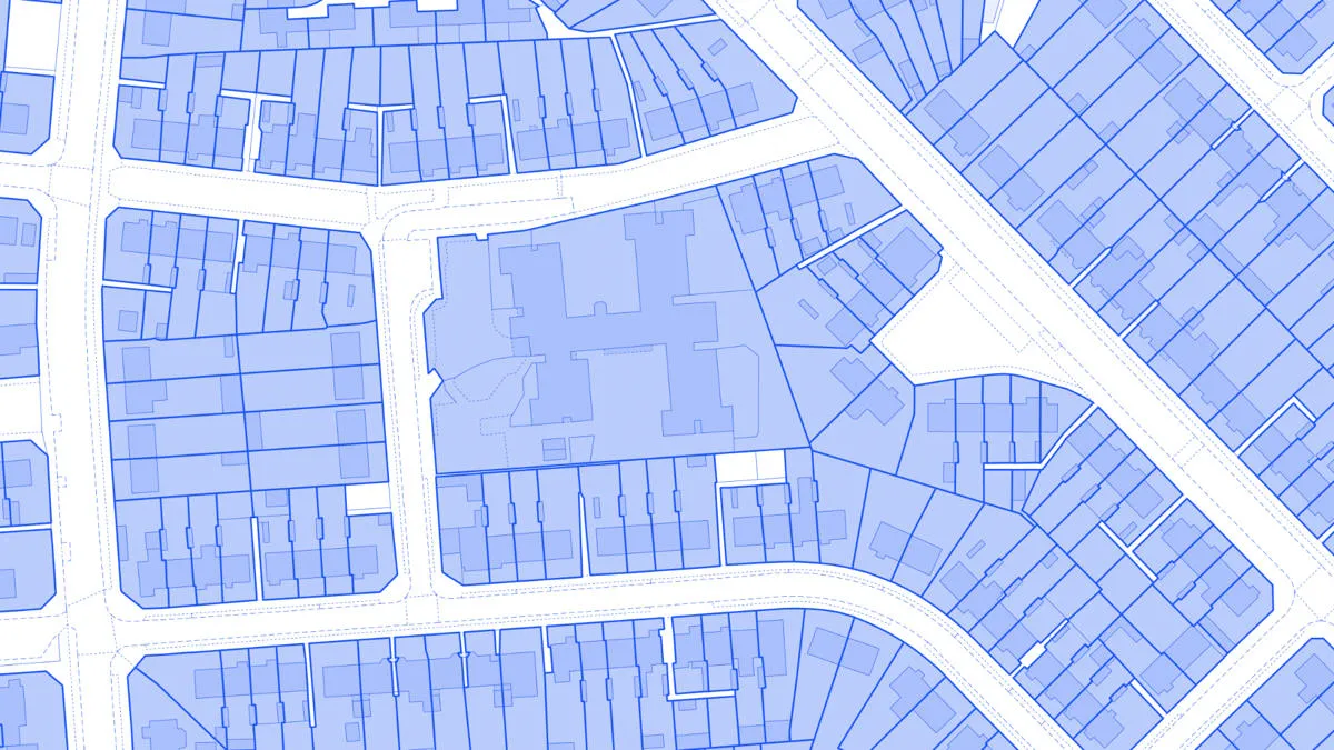
OS MasterMap Topography Layer is a dataset showing building heights for Great Britain.
AddressBase Premium offers full lifecycle information of a property that can be used within geographical information systems & database systems.
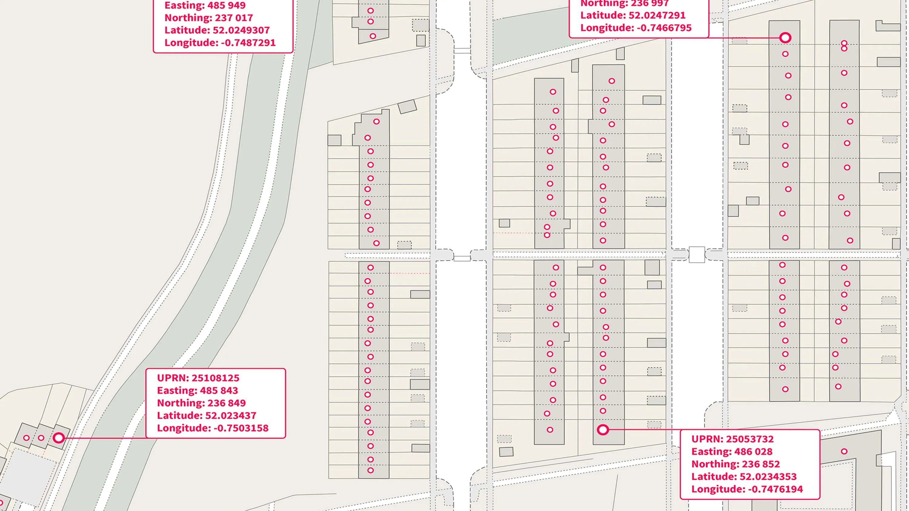
A complete address data collection for Great Britain, including UPRNs, property classification, postal status, and construction status.
Access the relationships between properties, streets and OS MasterMap identifiers for free.
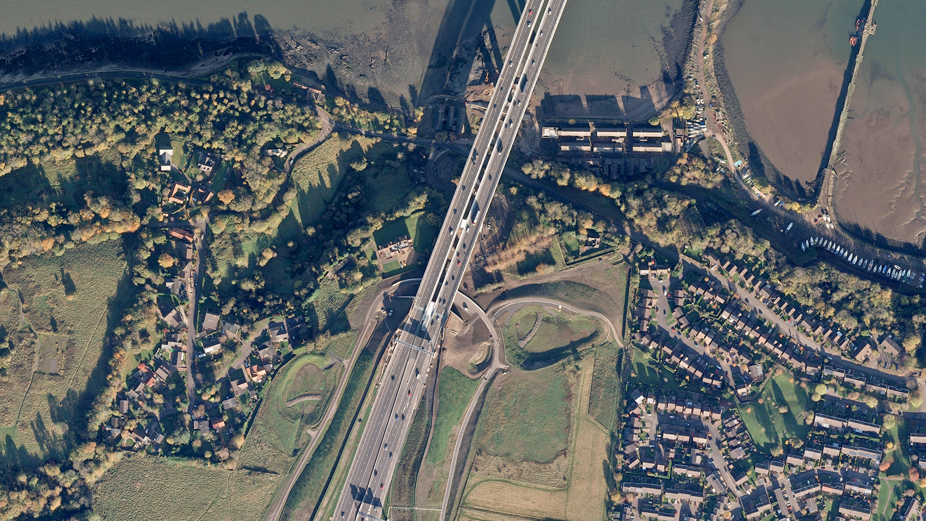
Digital colour-balanced and corrected for geometric distortions (orthorectified) aerial photography for Great Britain.

An open dataset containing all USRNs from OS MasterMap Highways Network with a simplified line geometry.
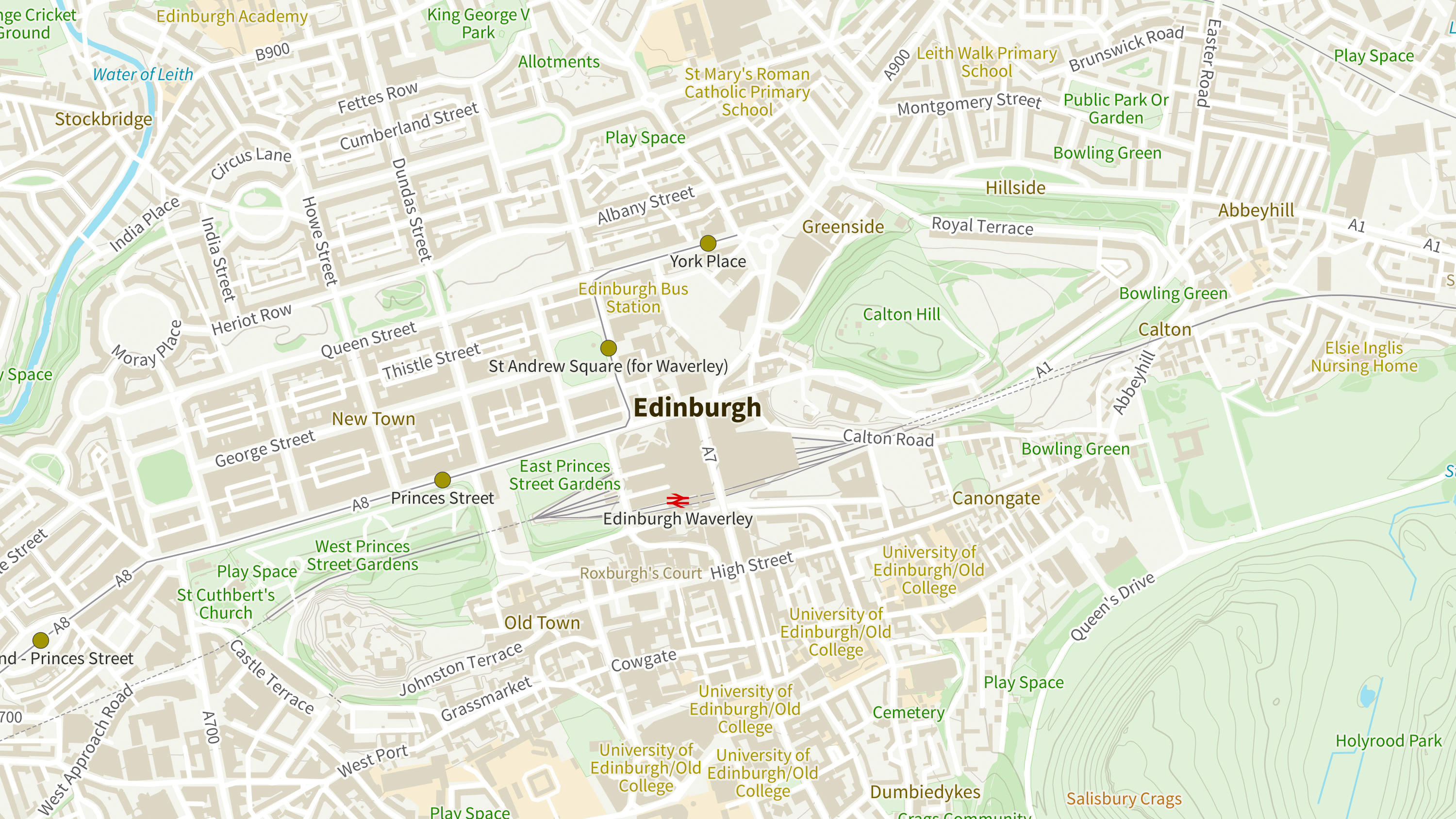
A geographic directory with basic information on identifiable places. Find the closest location to a given point through the API.

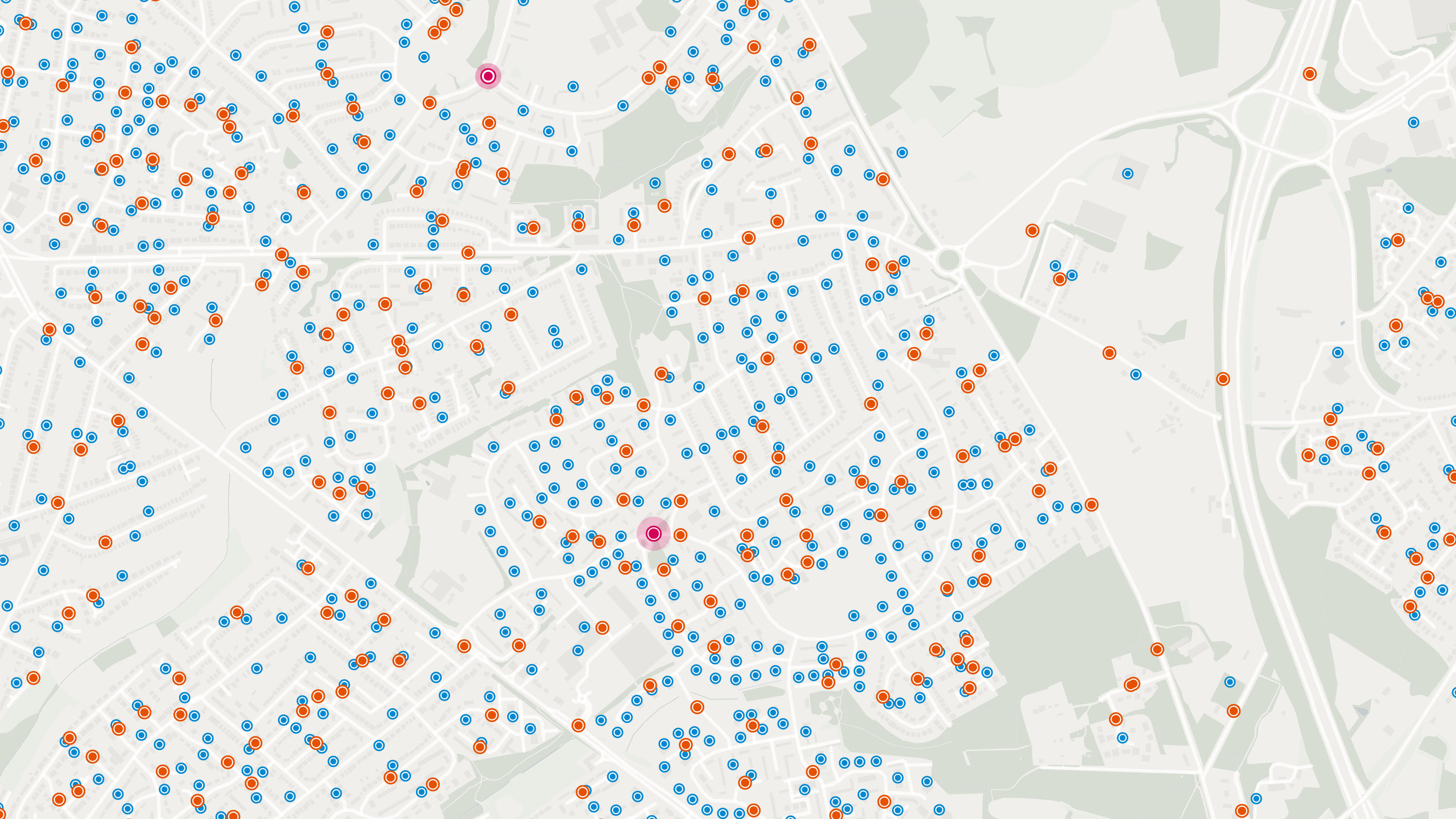
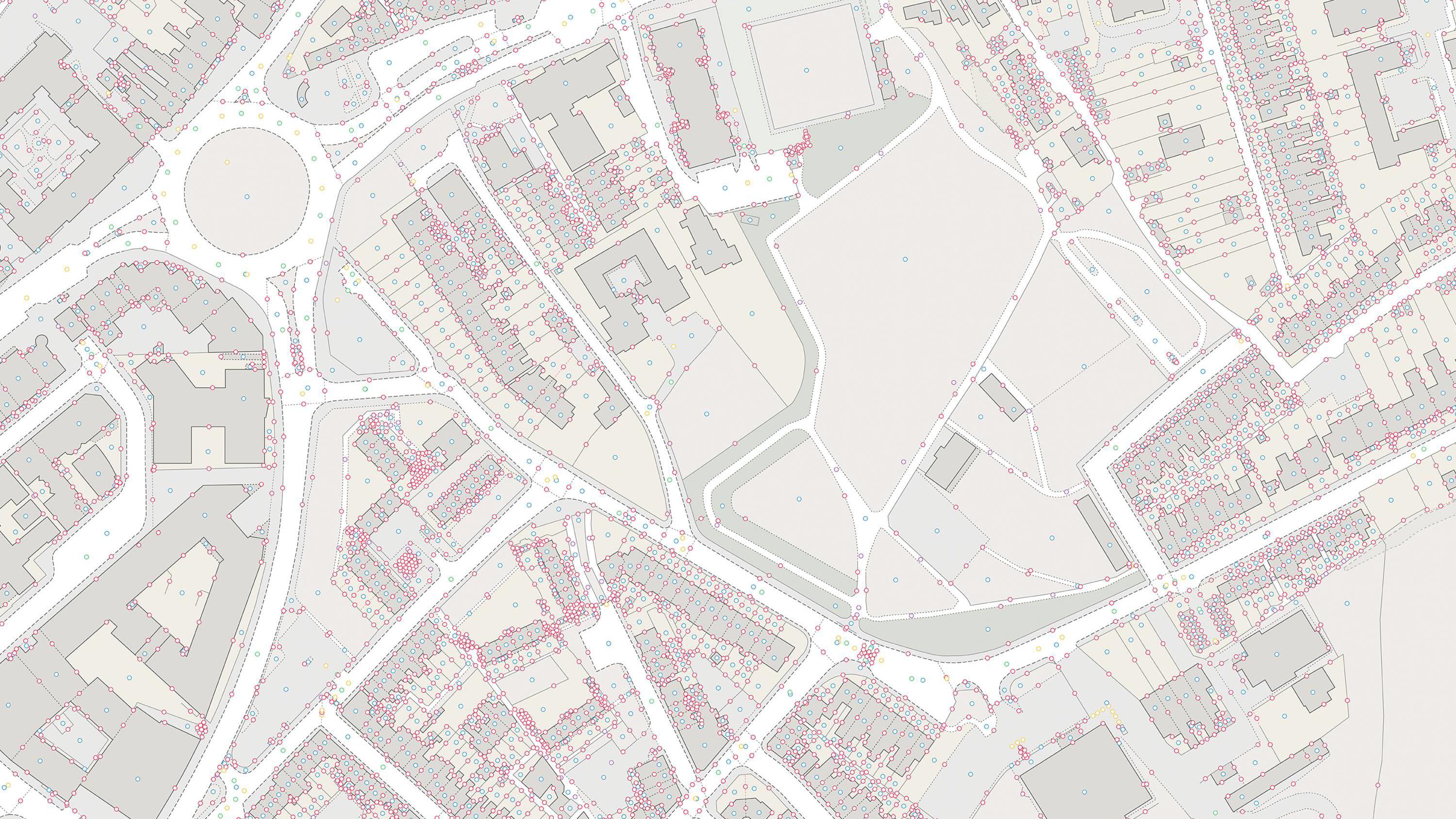
OS Places API lets you perform accurate geocoding and reverse geocoding with our secure, scalable, and resilient address API.
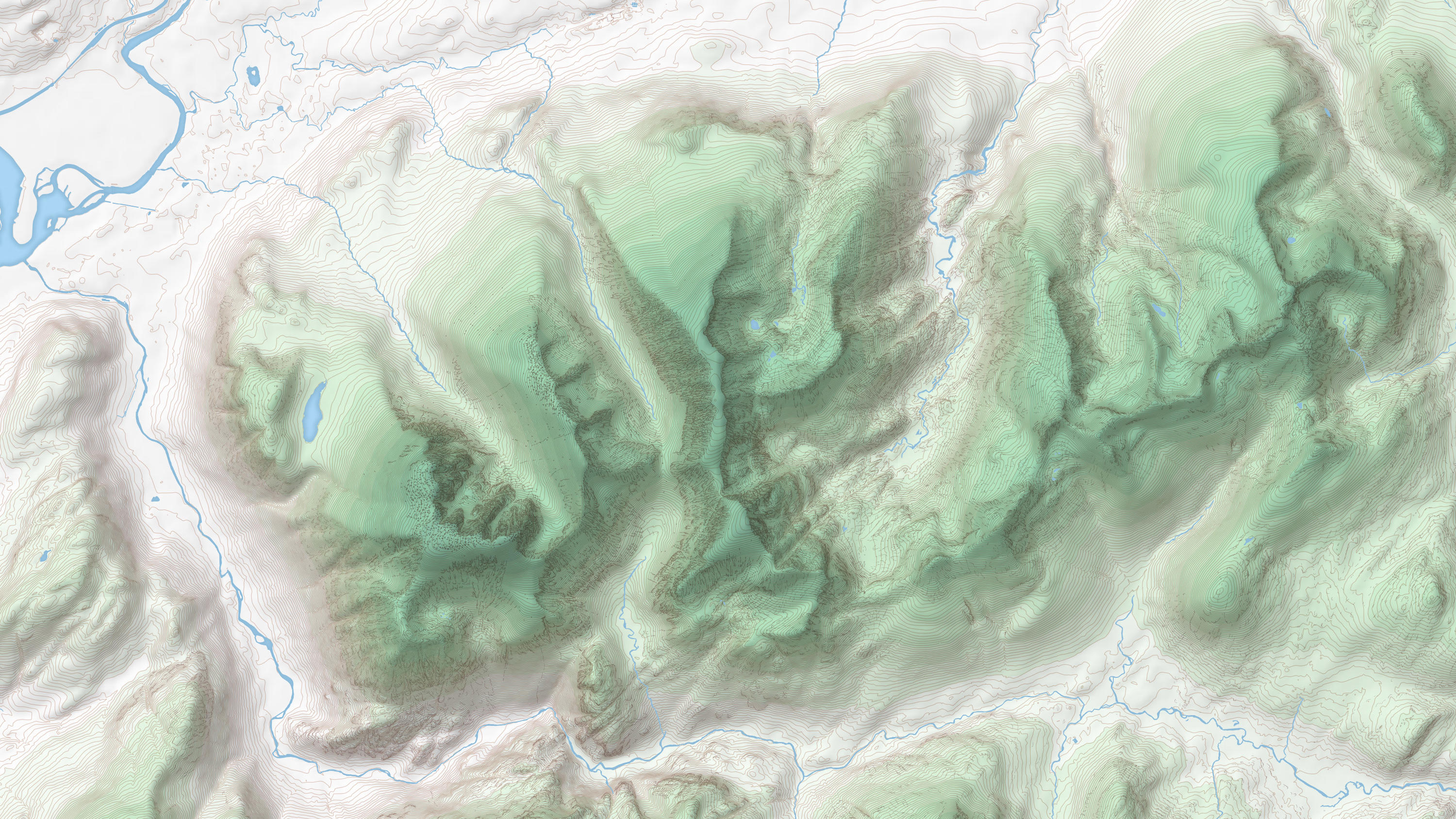
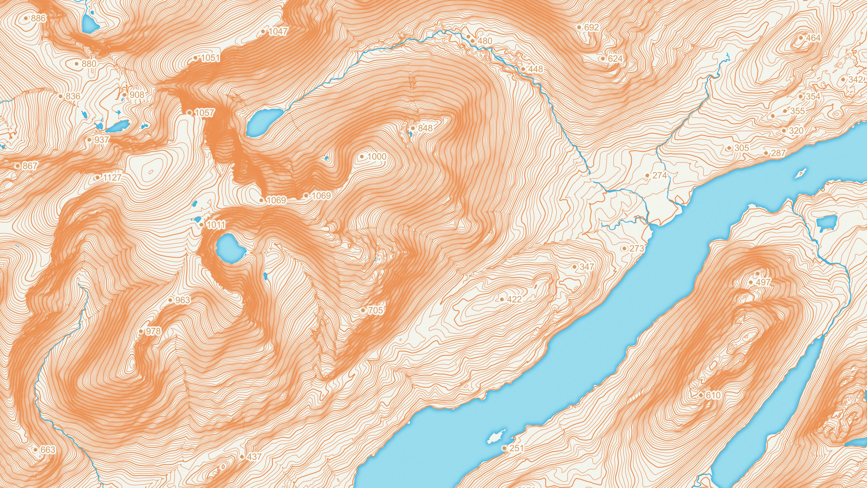
OS Terrain 50 is an open height dataset of contours with spot heights, breaklines, coastline, lakes, ridges and formlines for Great Britain.
OS GB Postcodes provides a consistent view of postcode geography that aligns to real-world buildings and streets across Great Britain.
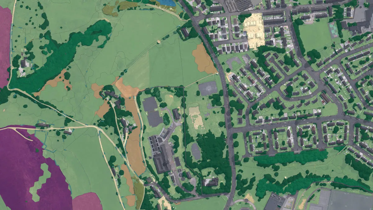
An aggregate of OS data, third-party land cover, and ecological datasets to assess and monitor land cover of the natural habitats within England.
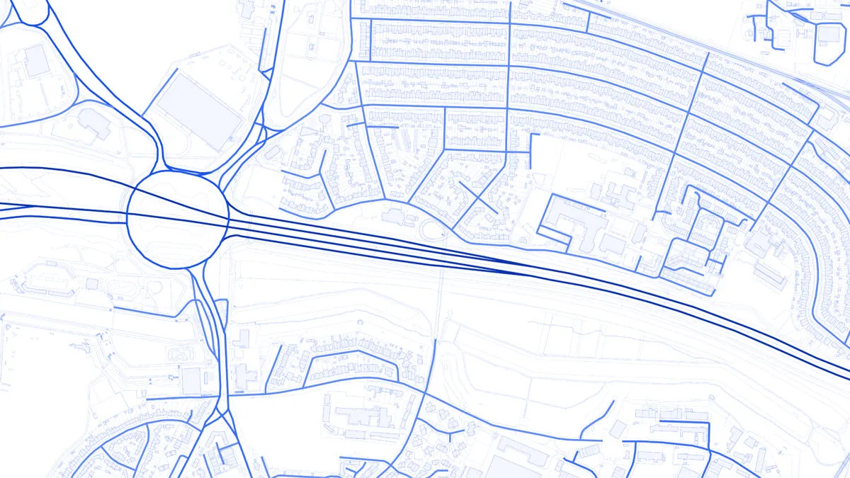
A navigable road network dataset with detailed information about planned roads and roads under construction for Great Britain.

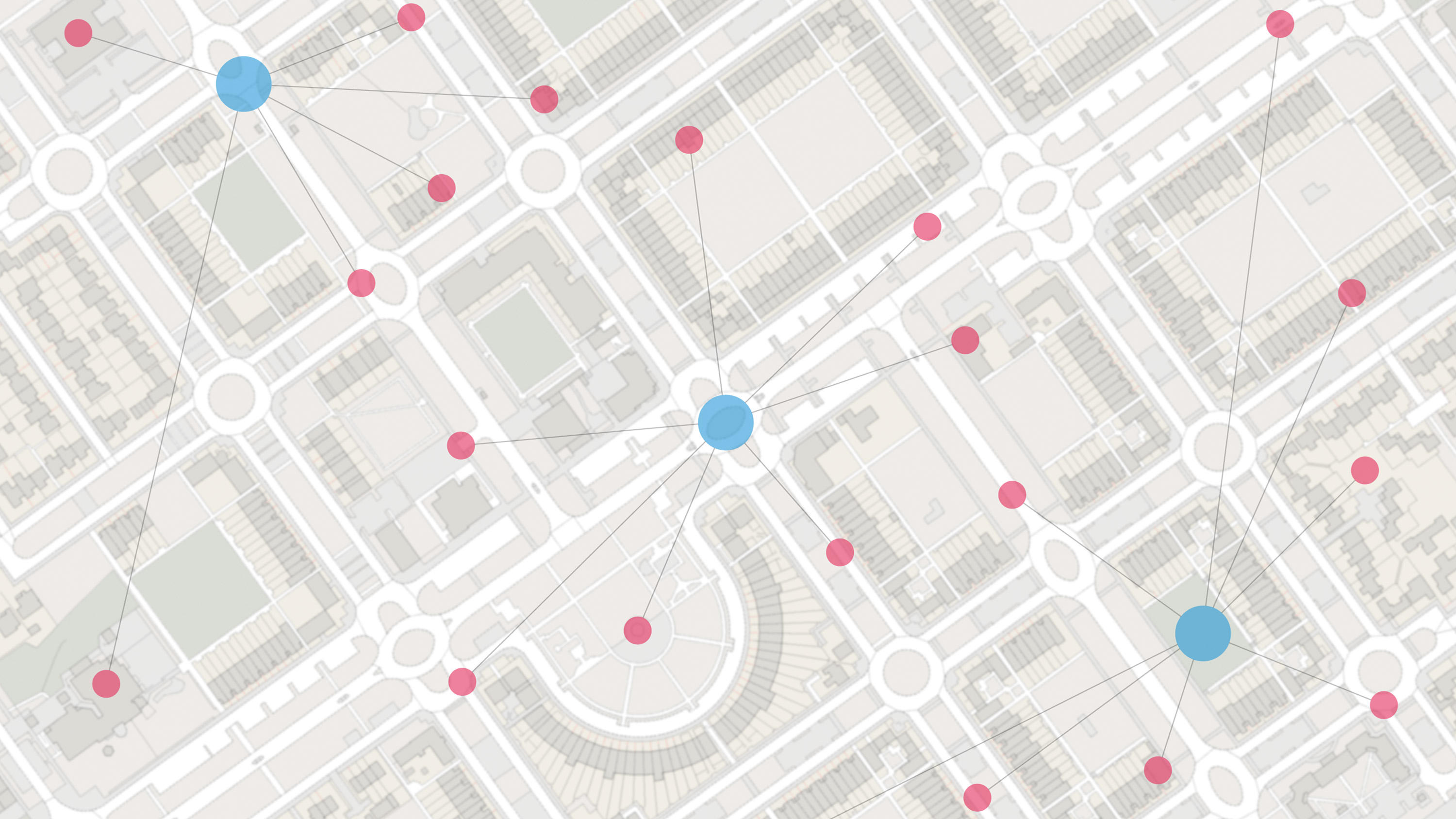
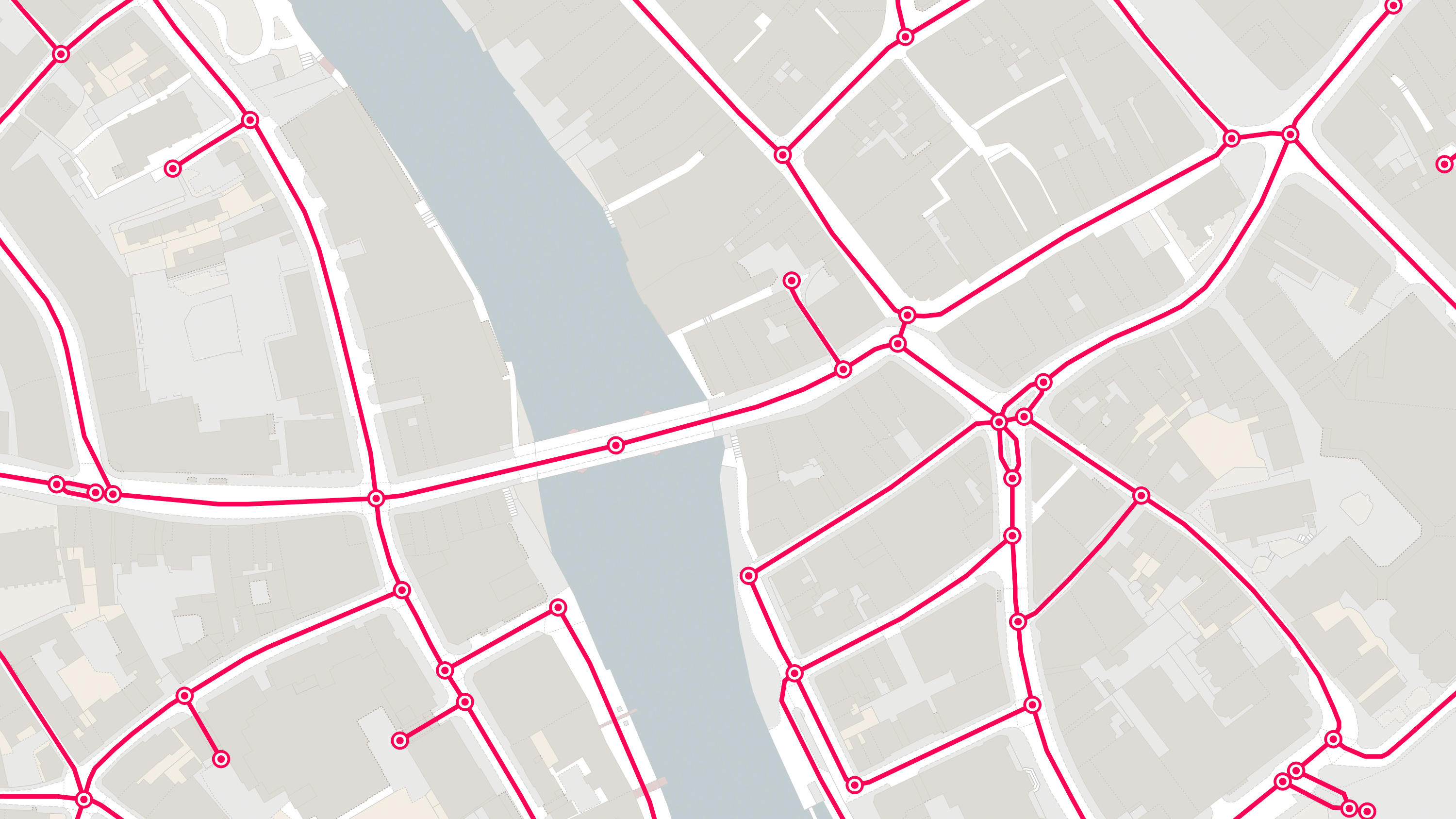
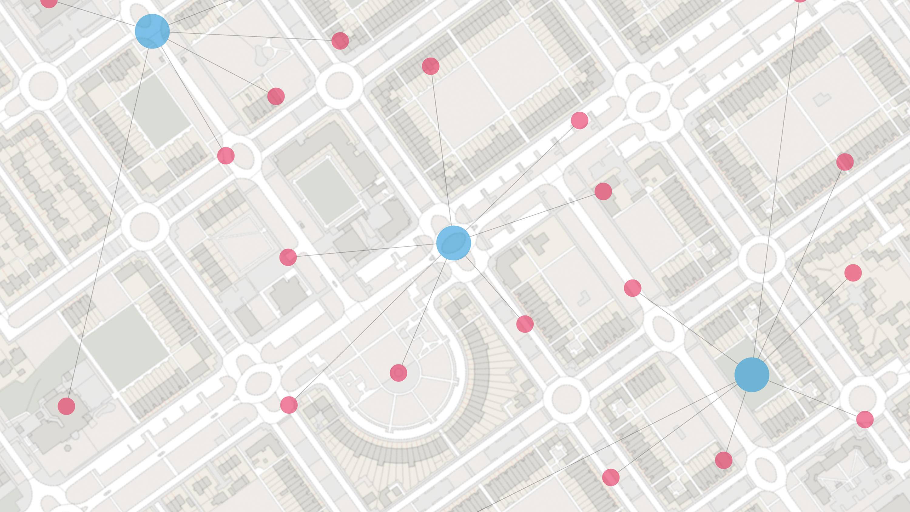
OS Multi-modal Routing Network is a fully connected network dedicated for the multi-modal routing of people and goods, designed for use in routing applications.
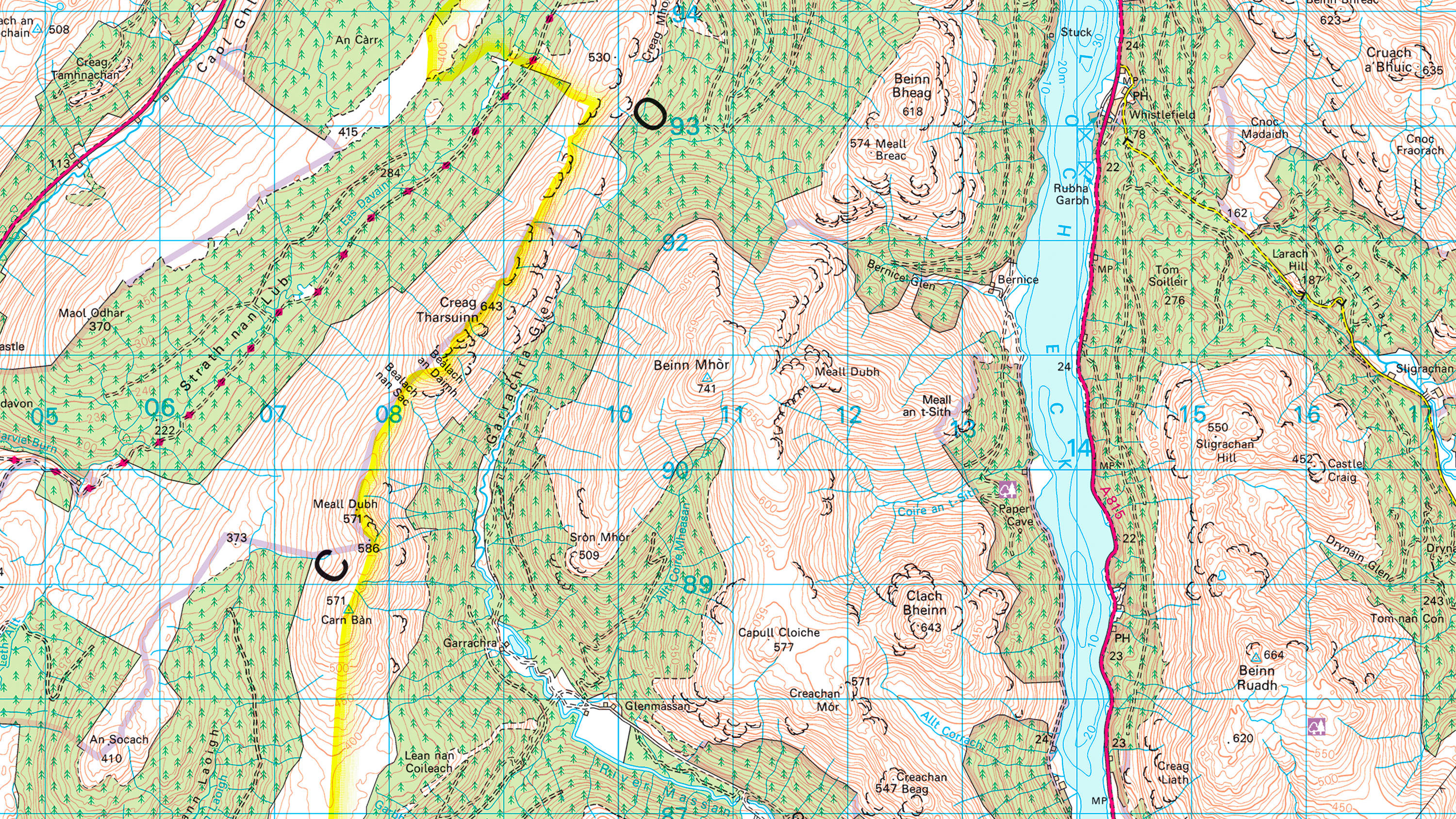
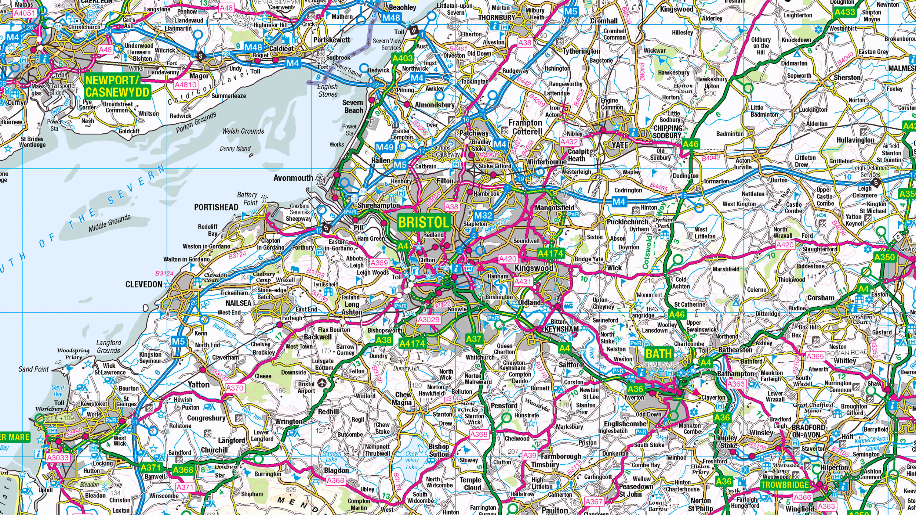
1:50 000 Scale Colour Raster is the digital alternative to Ordnance Survey's OS Landranger paper map series for Great Britain.
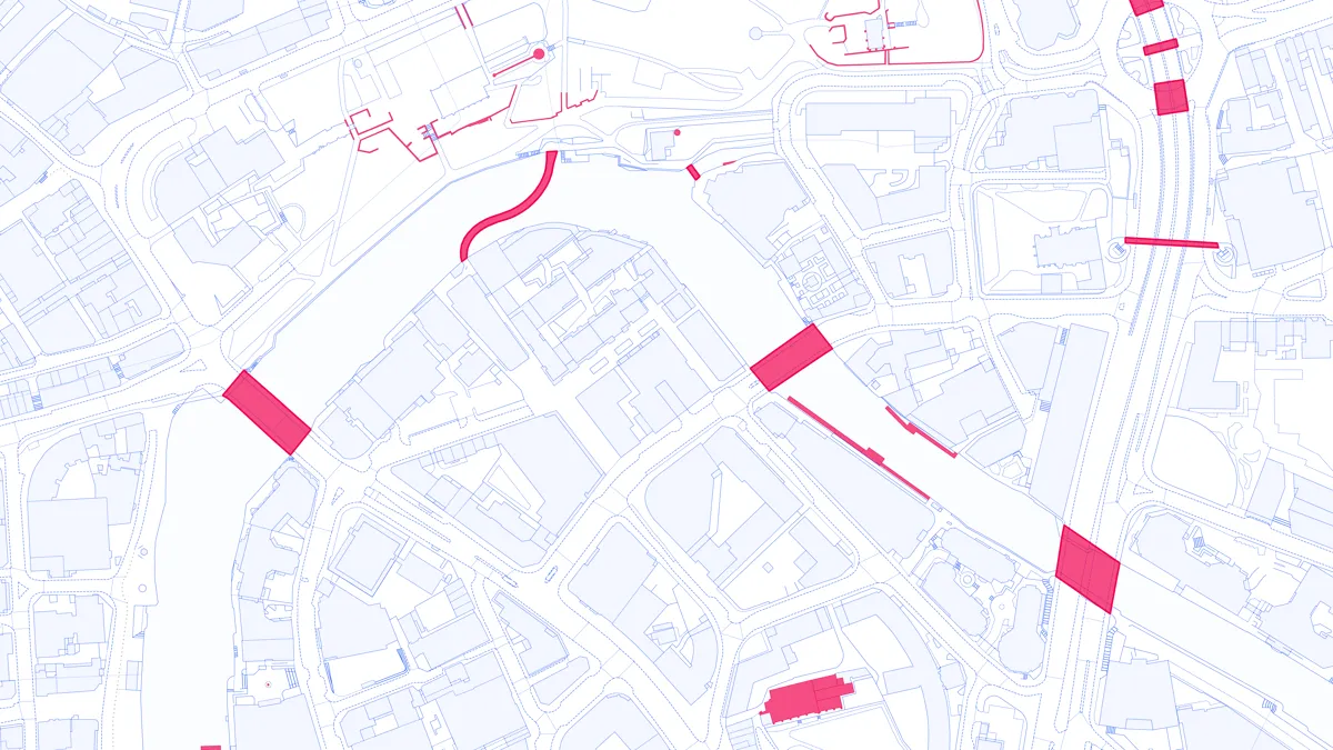
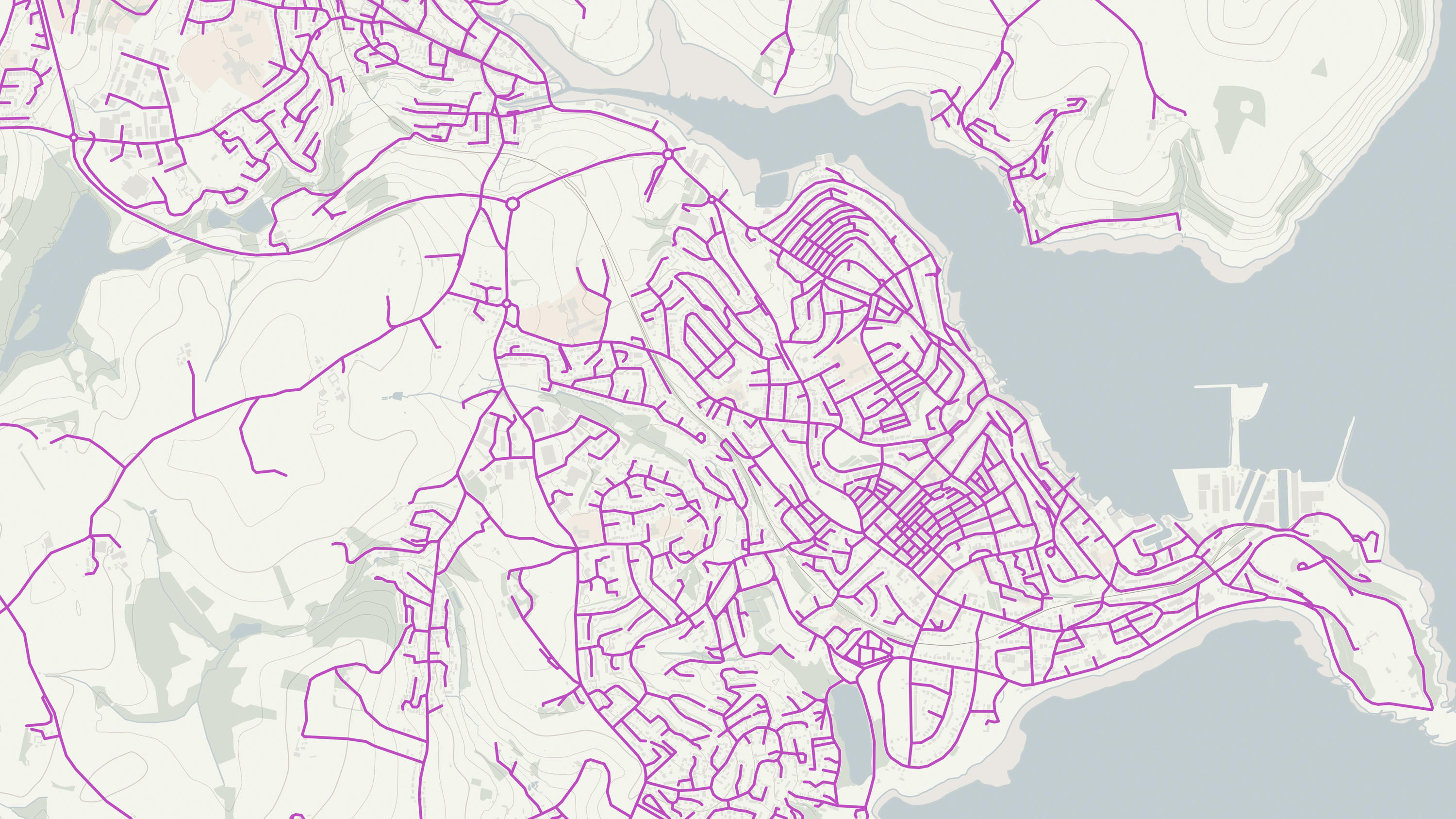
Visualise transport features including roads, tracks, railways, and paths across Great Britain. Analyse streetlight coverage to support safe, well-lit, active travel routes.
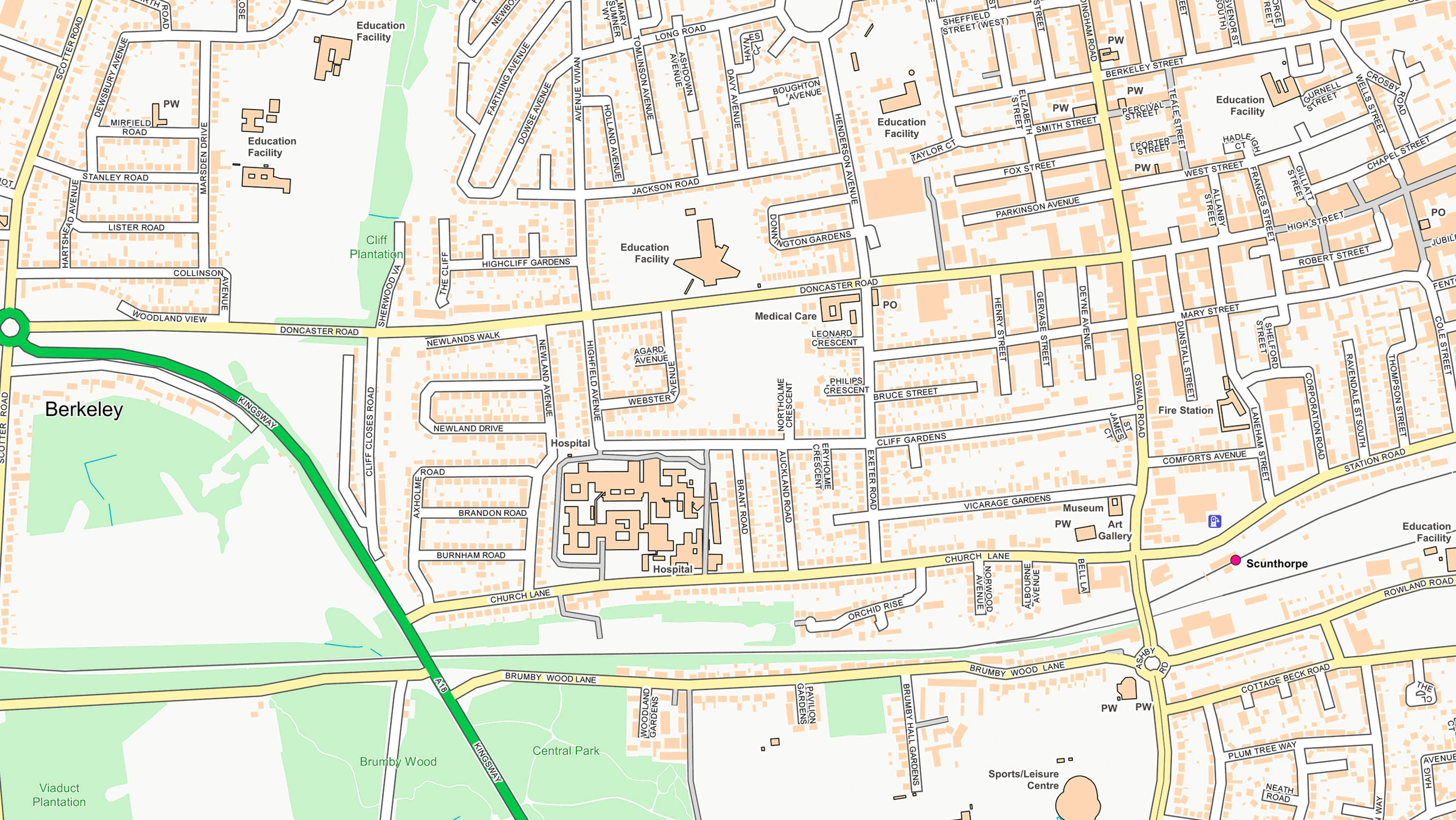
OS OpenMap Local is an open dataset of detailed, street-level mapping of Great Britain.
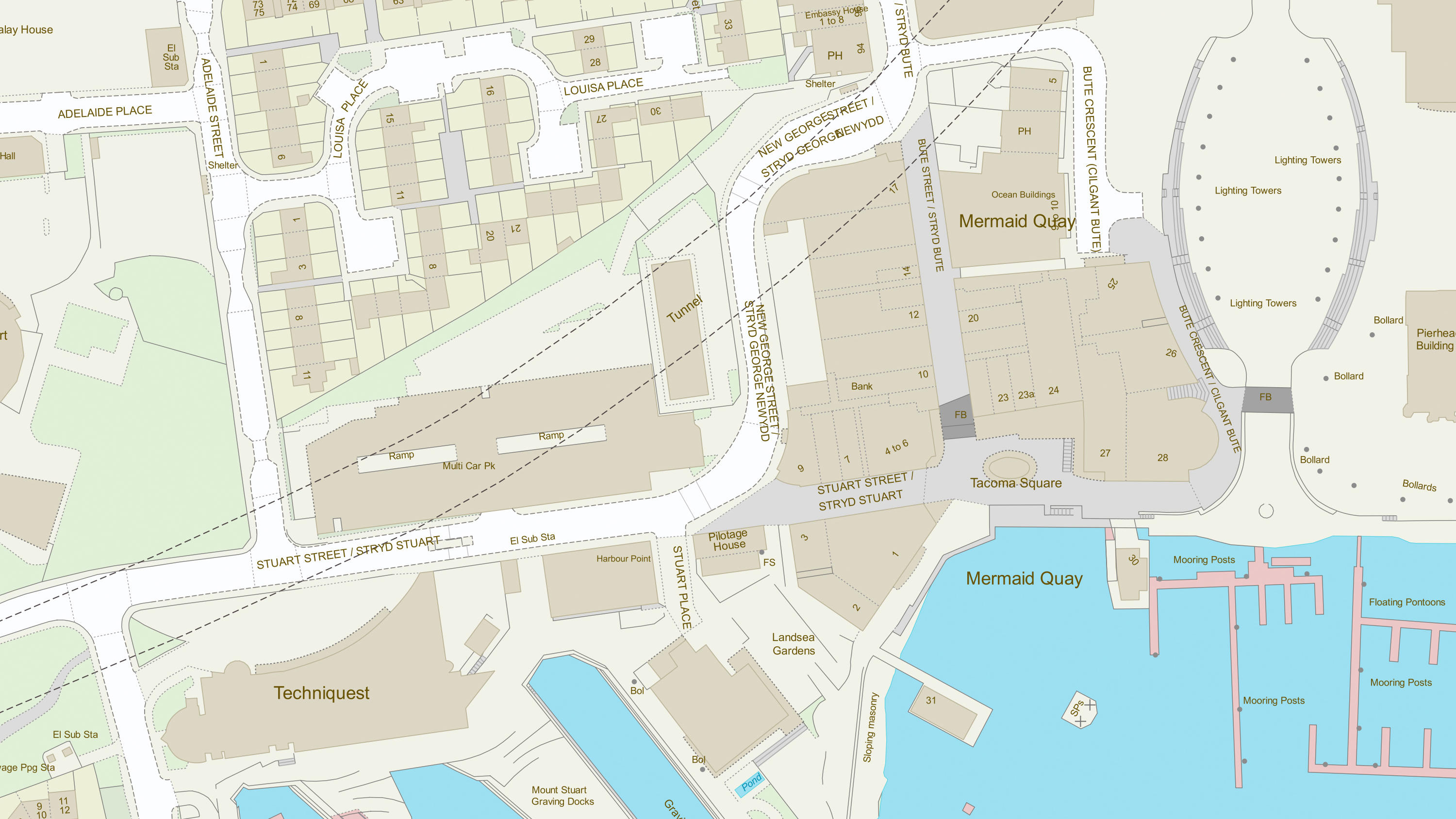
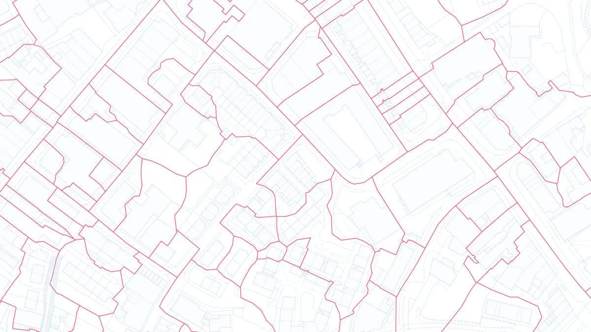
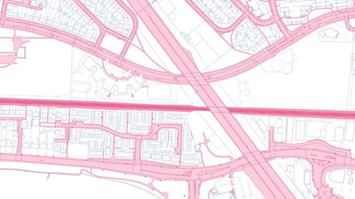
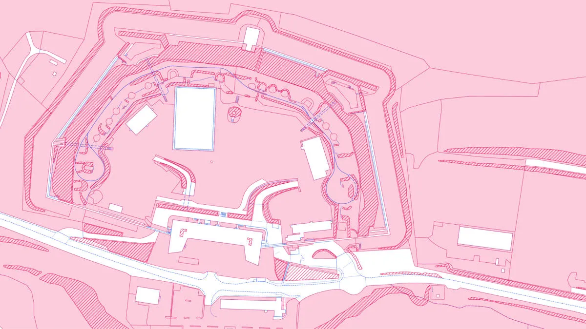
OS MasterMap Topography layer provides a map dataset of Great Britain's landscape – from roads to fields, to buildings and trees, fences, paths and more.
AddressBase Core is a simple, accessible addressing data product giving plug and play access to complete, accurate address data.
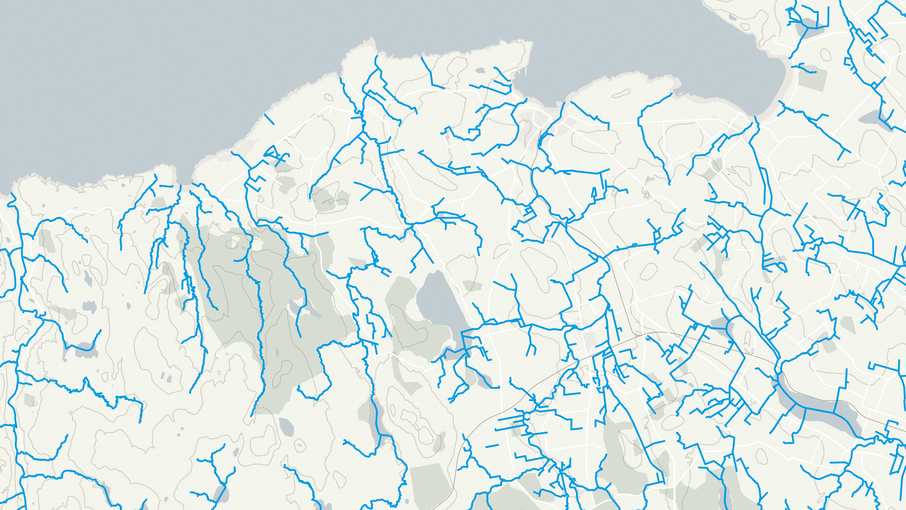
An open dataset of the high-level view of watercourses in Great Britain.
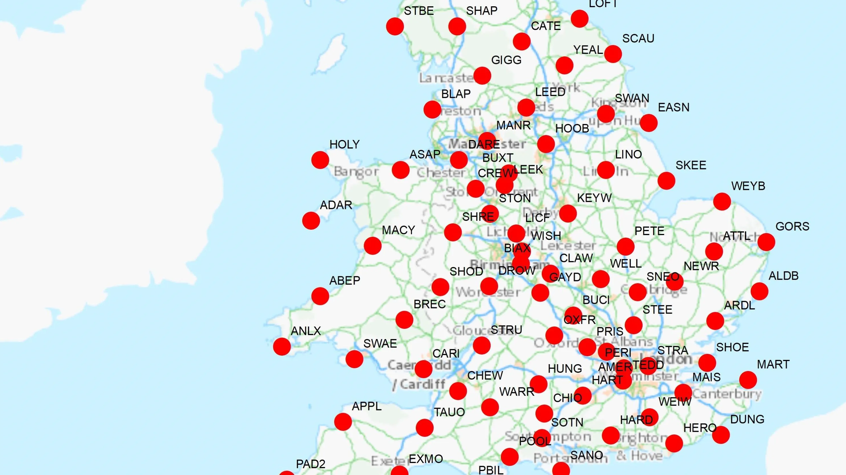
Our list of named features and places, as identifiers for locations in the real world: cities, towns, beaches, reservoirs, and more.
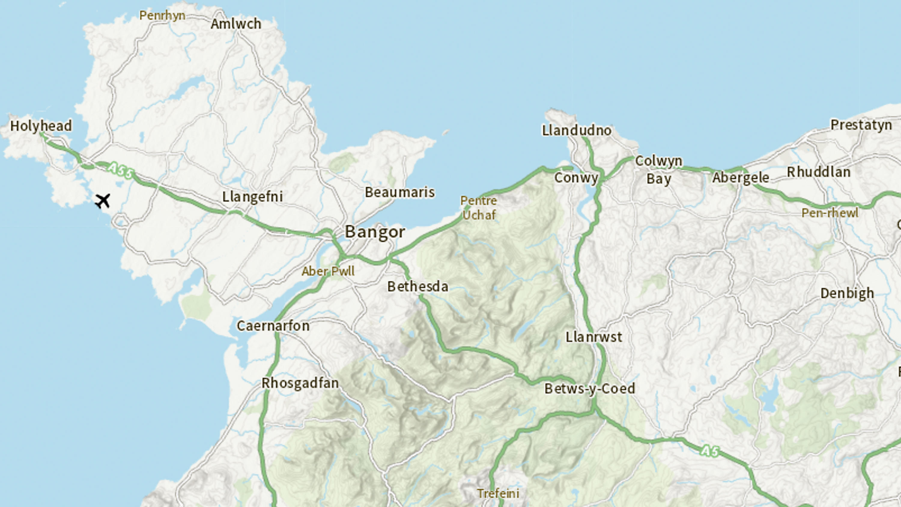
Ordnance Survey's OS Open Zoomstack is an open vector basemap showing coverage of Great Britain from a national level, right down to street detail.
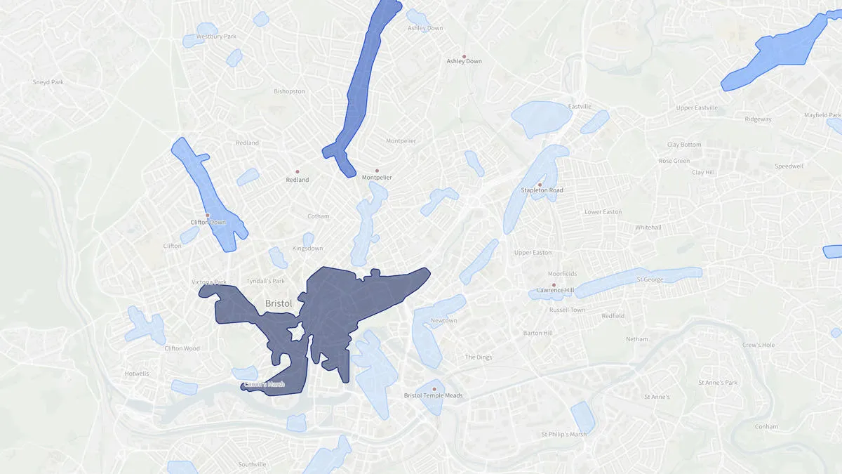
OS Open Greenspace is Britain’s most comprehensive Open dataset of greenspace. Find the location of public parks, sports facilities, play areas, allotments and more.

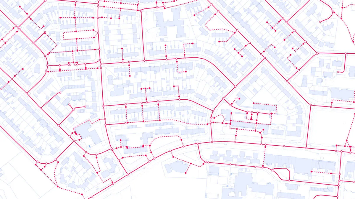
A path network dataset for Great Britain showing who is responsible for all the footpaths through towns and cities.
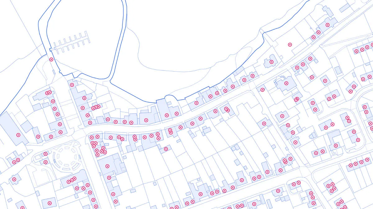
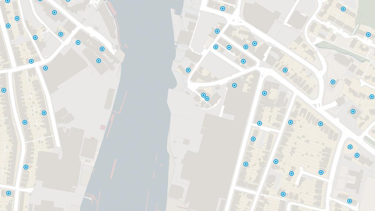
Access data on buildings and building features, including building heights, lines, and access points, across Great Britain.
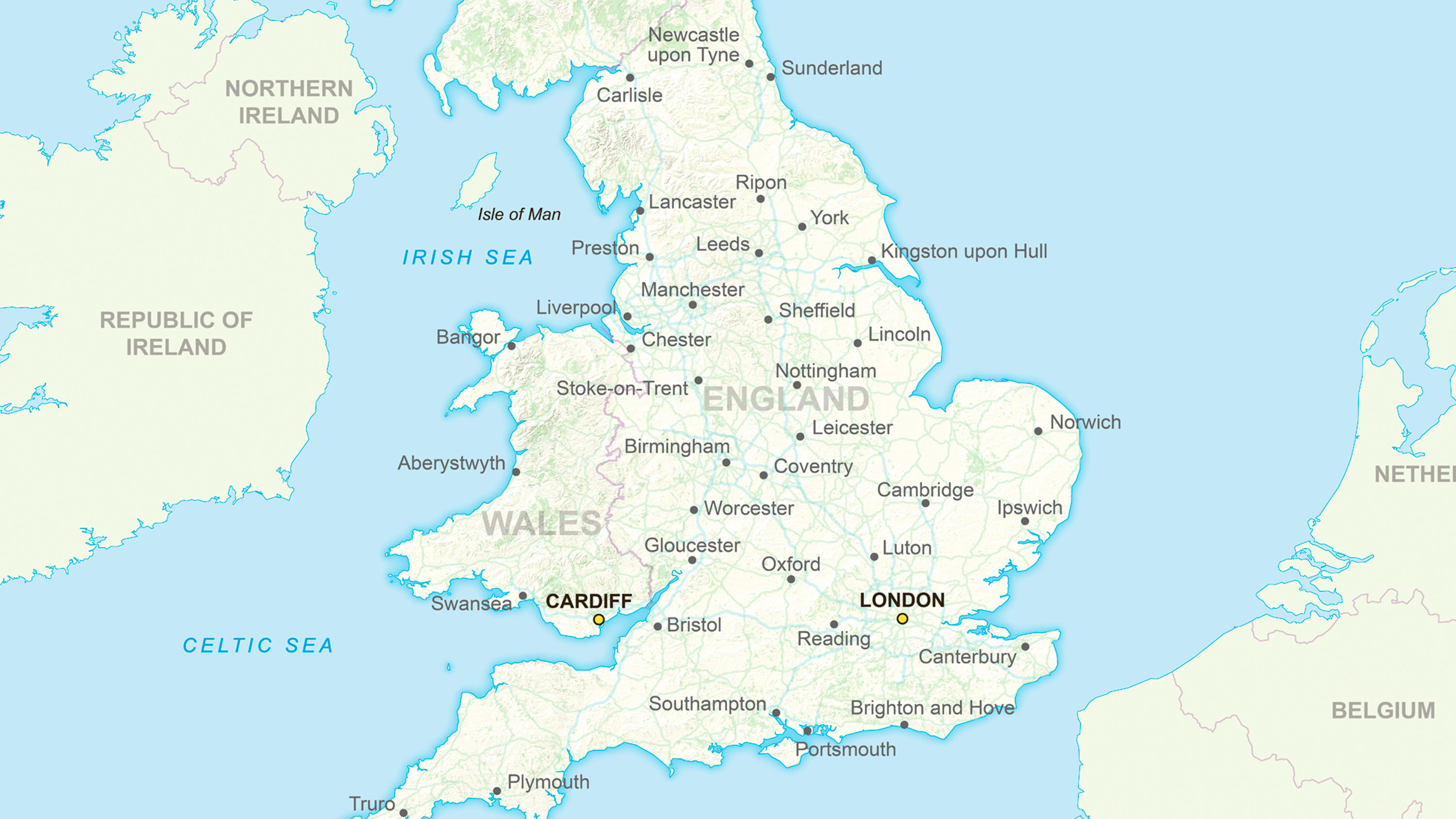
Ordnance Survey's GB Overview Maps is an open overview map of Great Britain.

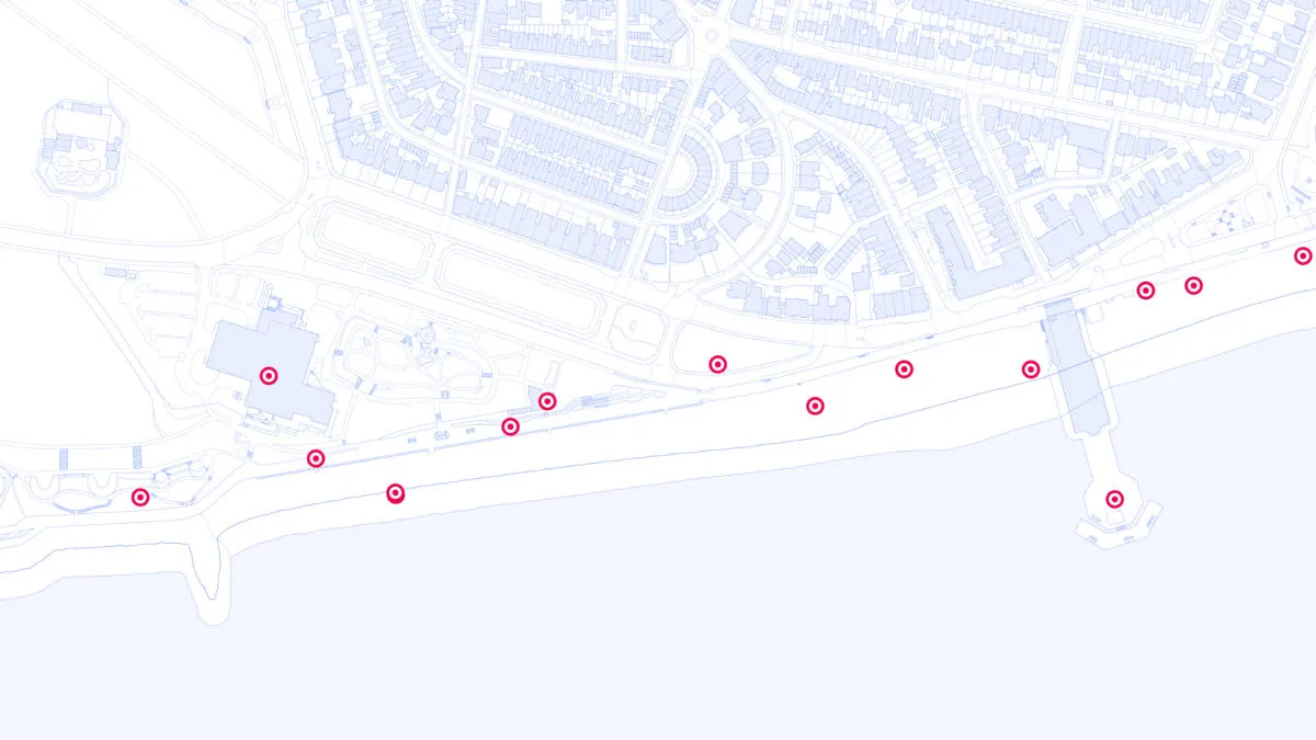
The OS Emergency Services Gazetteer (ESG) provides a national, consistent, and maintained view of the locations and names of places and objects.
OS NI Postcodes provides a consistent view of postcode geography across Northern Ireland.
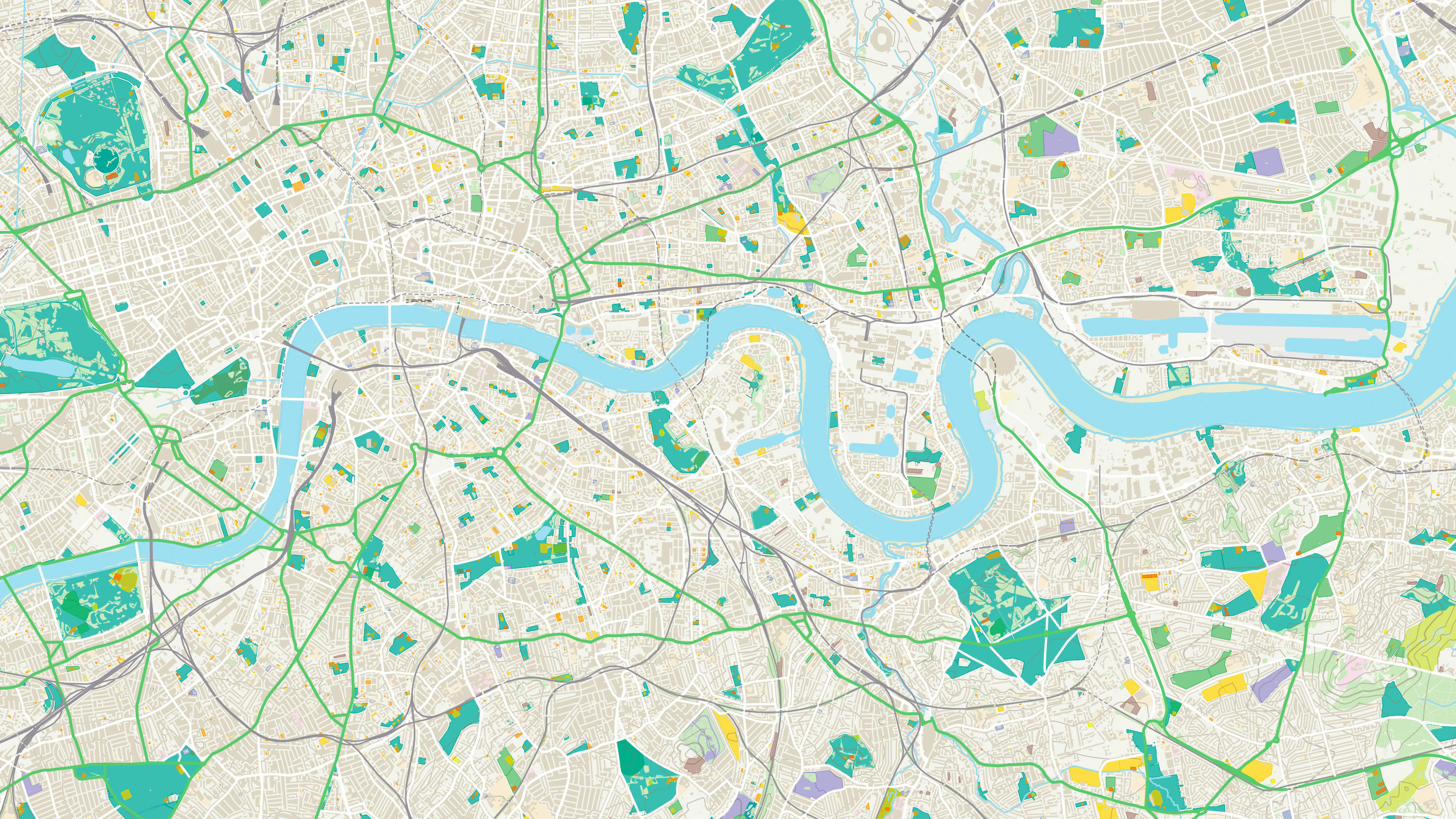
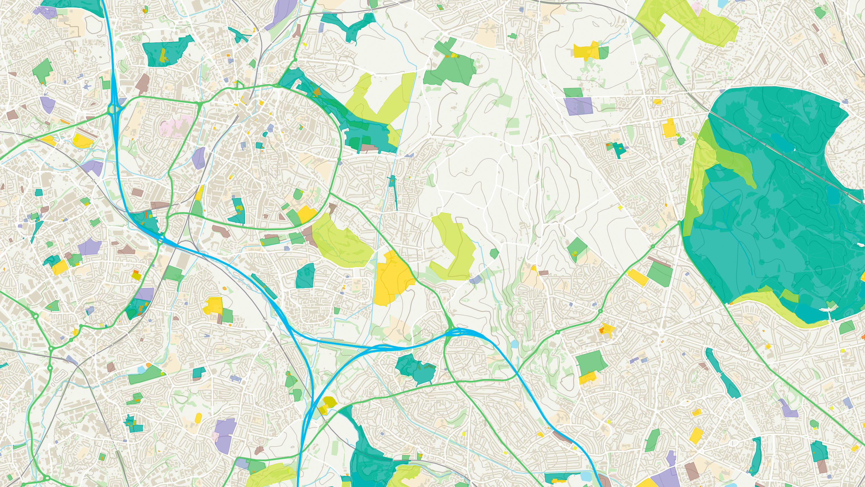
Explore detailed land cover data, and visualise the land cover make-up of Great Britain, including both manmade features and natural land features.
Access a fully routable network of Great Britain, including hazards, restrictions, and speed limits, for in-depth route planning and asset management.
The OS Downloads API lets you script and automate your downloads of OS OpenData and OS Premium data. Save valuable time by automating the process.
Ordnance Survey's Boundary-Line is an open dataset of every administrative boundary in Great Britain.
An open dataset enabling linking, sharing and visualisation of data related to UPRNs.
OS Functional Areas provides a view of retail activity across Great Britain including where retail clusters exist and how they function and compare.

Create beautiful, responsive, and interactive vector maps powered by the OS National Geographic Database (OS NGD).

OS MasterMap® Highways Network is the most complete, detailed and accurate navigable road network dataset for Great Britain.
A complete address data collection for Northern Ireland, the Channel Islands and Isle of Man, including UPRNs, and property classification, postal and construction status.
OS Terrain 5 is a detailed digital terrain model (DTM) of Great Britain.
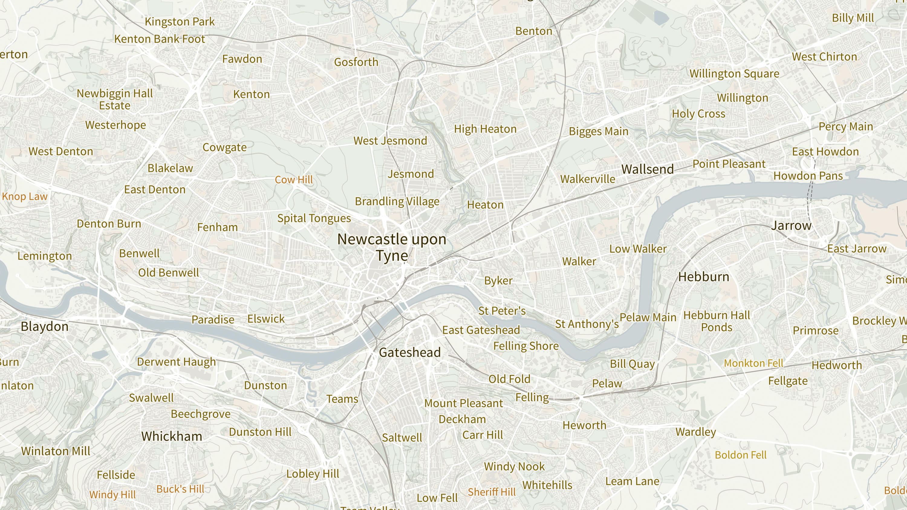
OS Open Names is an open dataset of place names, road numbers and postcodes in Great Britain.
An open dataset of cross-referenced identifiers between various OS data products.
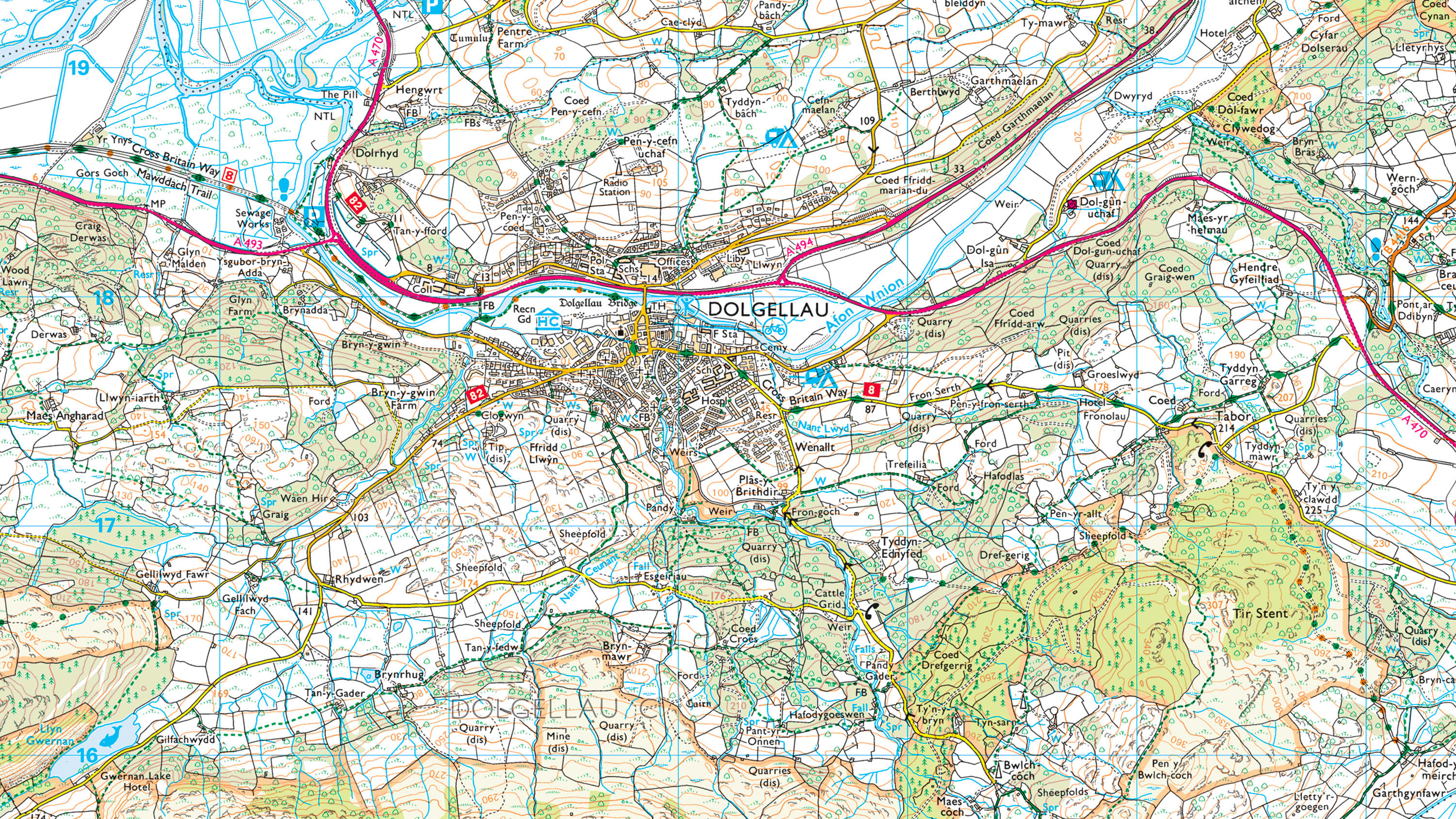
1:25 000 Scale Colour Raster is the digital alternative to Ordnance Survey's OS Explorer paper map series for Great Britain.
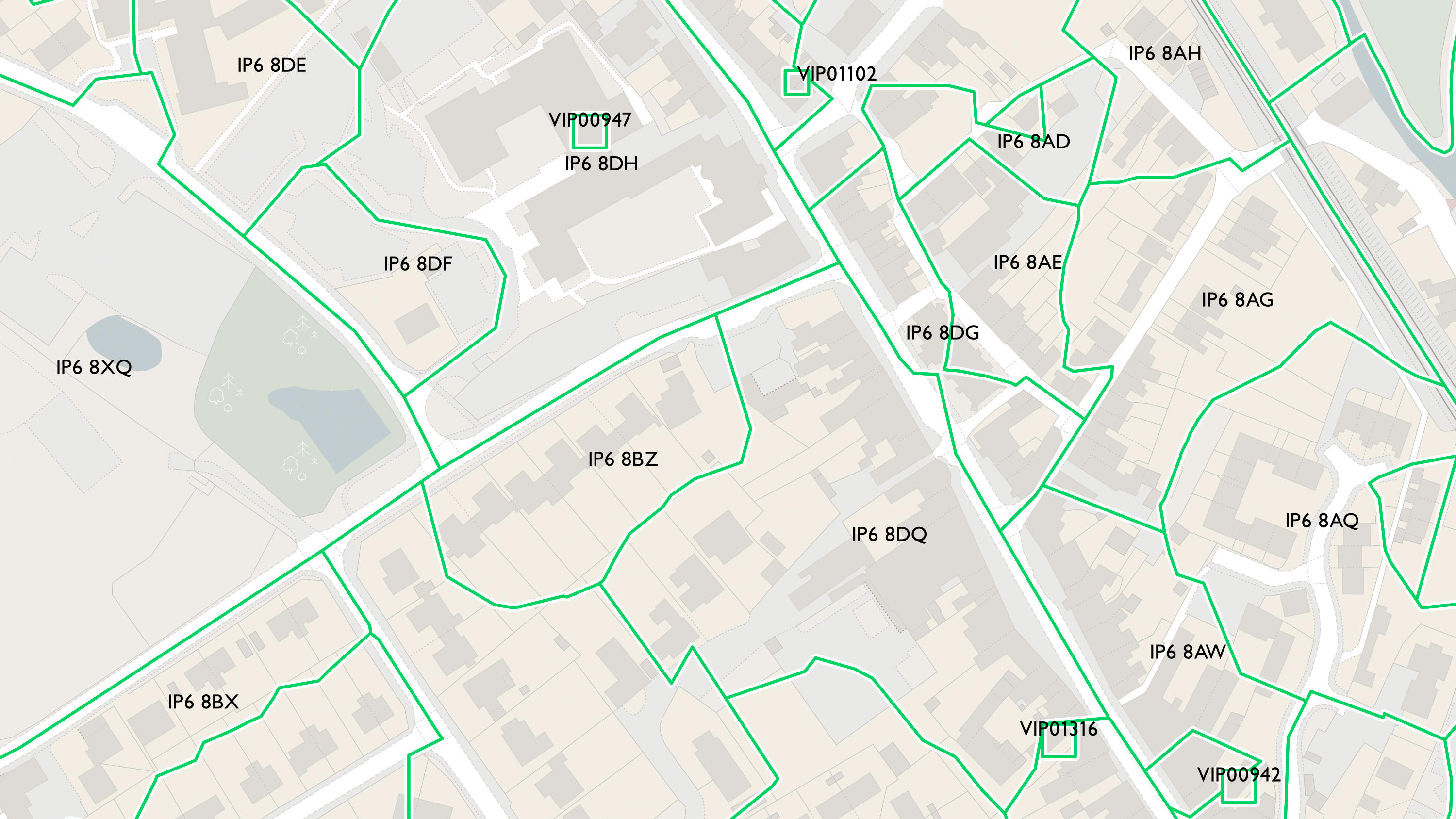
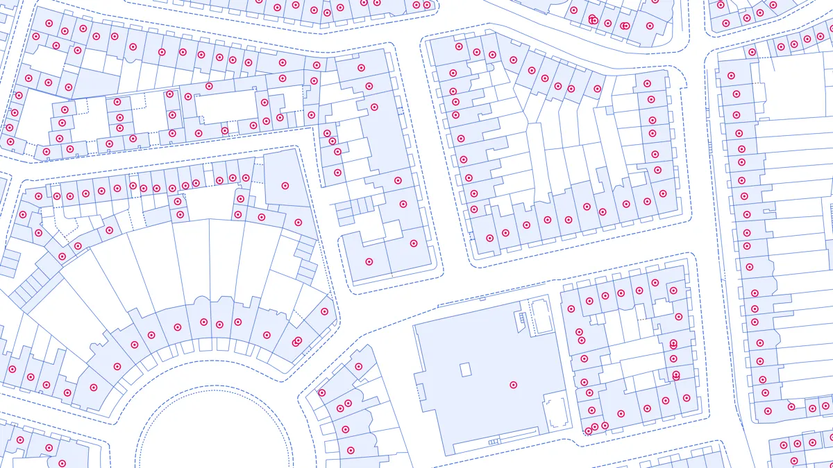
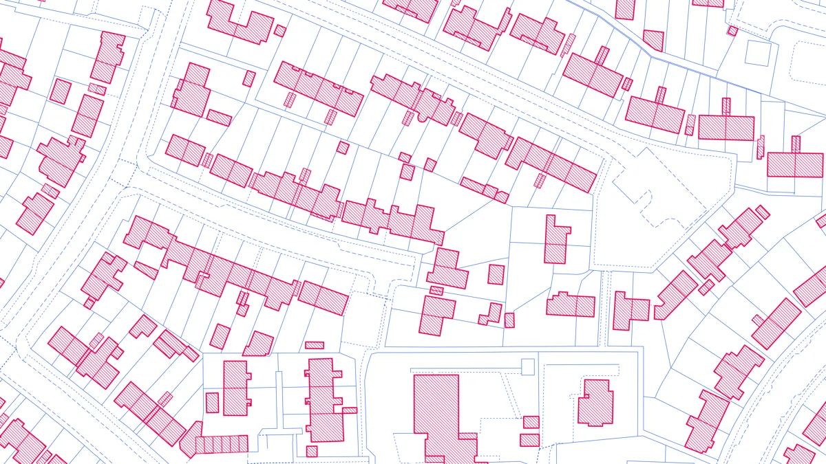
Code-Point with Polygons shows the notional shape of every postcode unit in Great Britain including buildings with multiple postcodes.
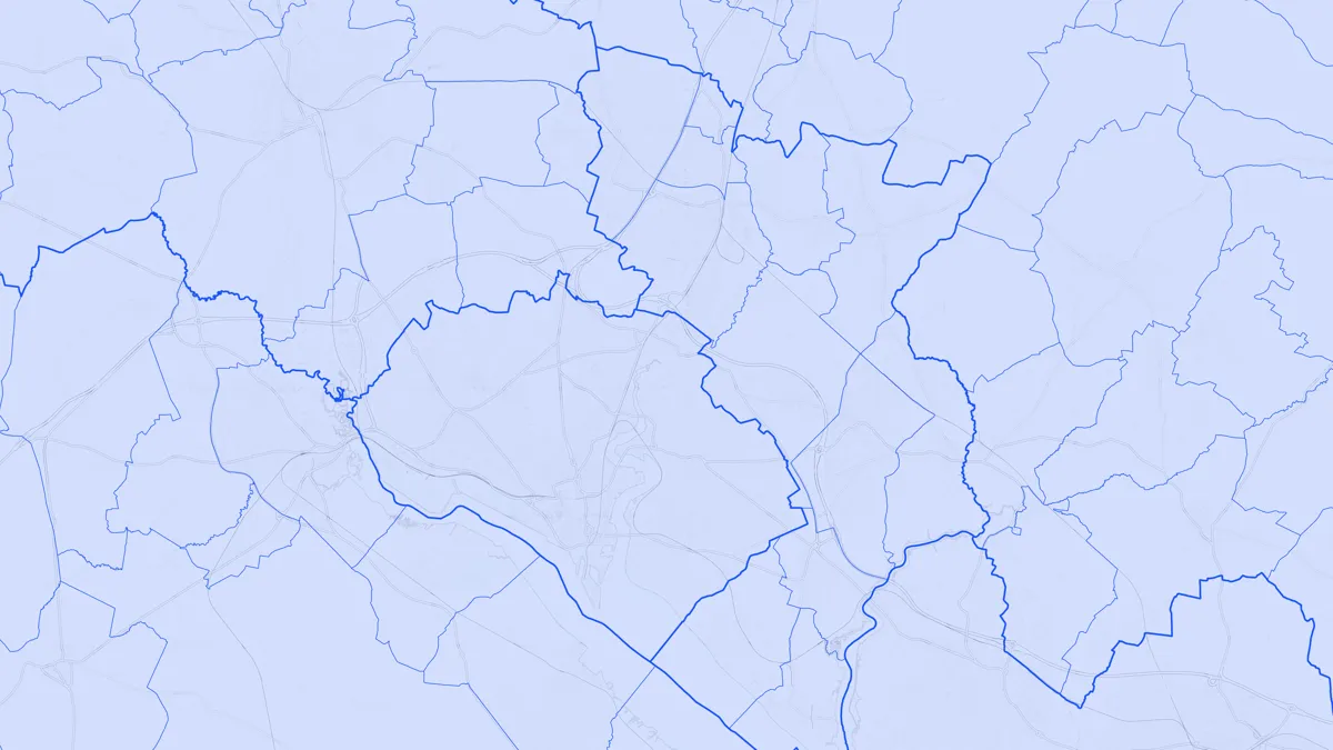
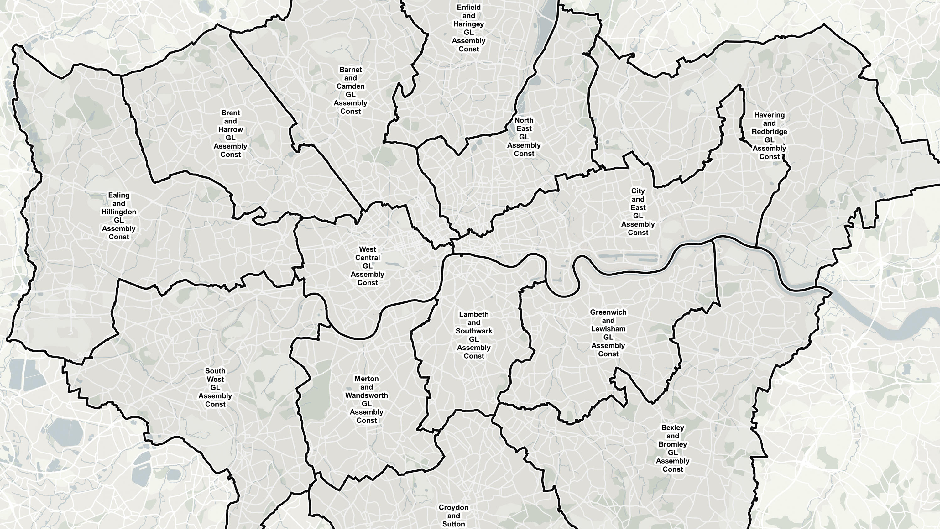
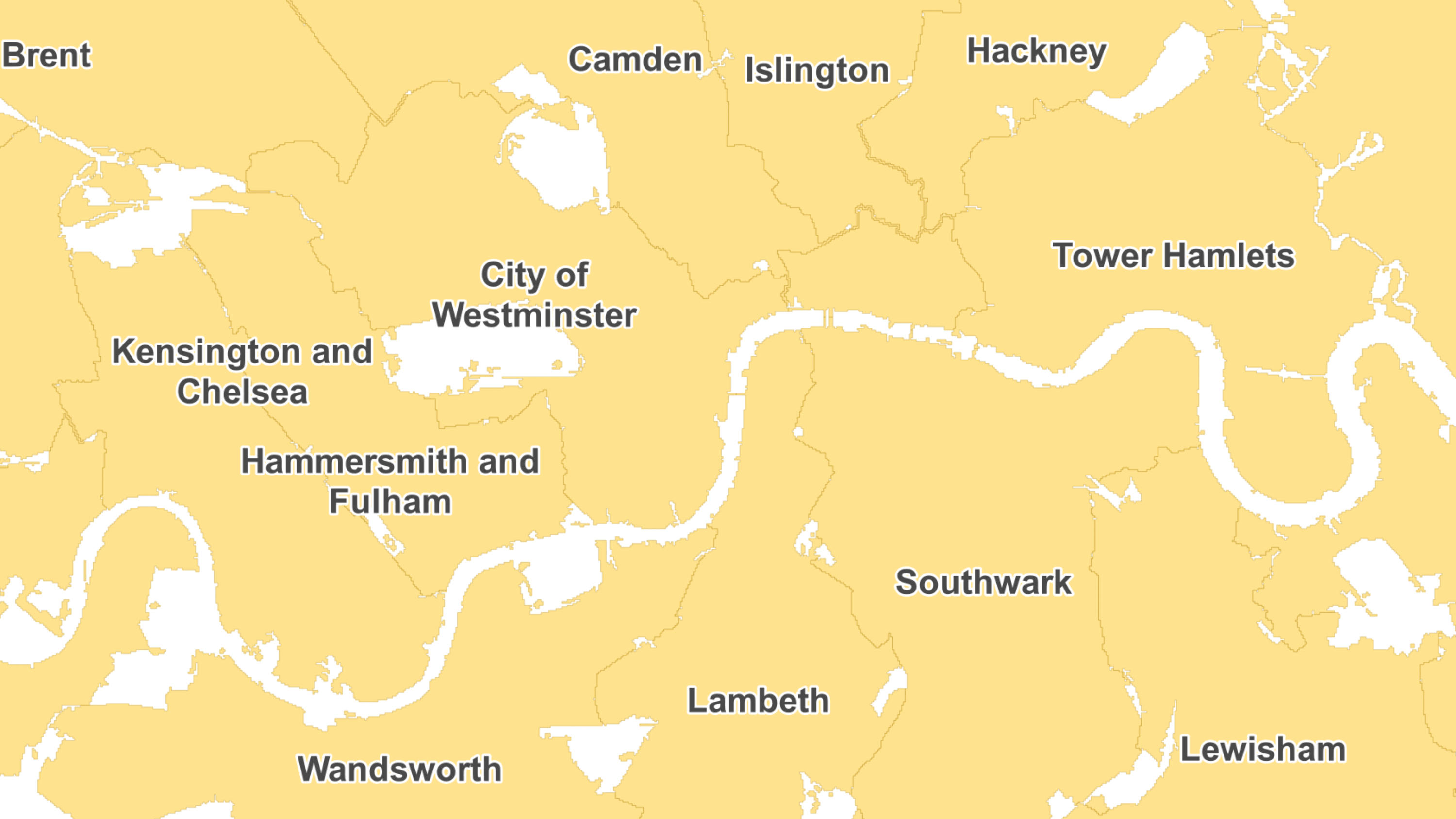
Access the administrative and electoral boundaries for England, Wales, and Scotland.
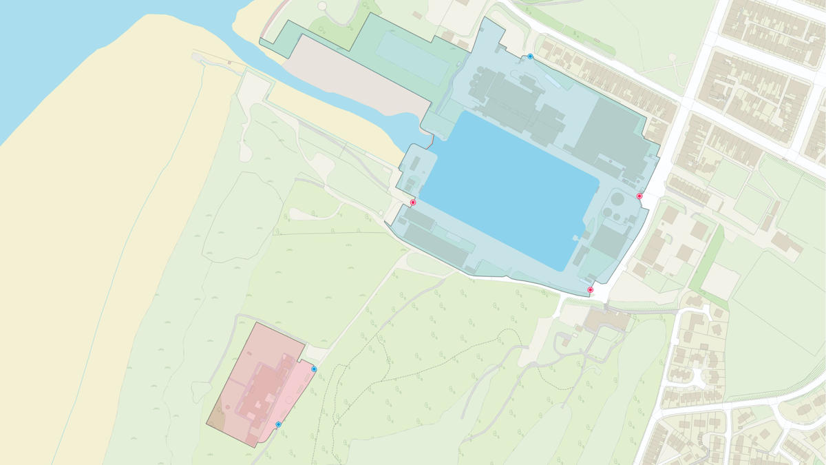
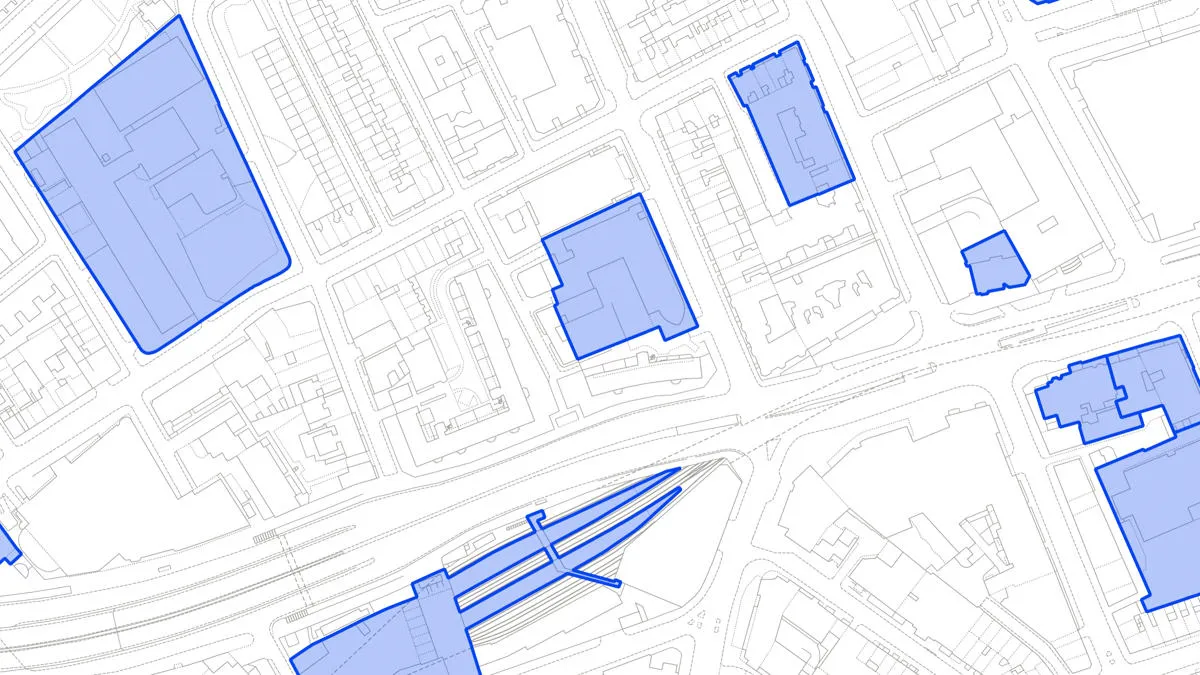
OS MasterMap Sites Layer is a nationally maintained view of the detailed extents of locations like airports, schools, hospitals, utility and more.
Visualise and analyse geometric representations of different types of land use, land use sites, and site access data.
A dataset of unique identifiers for a wide range of land-scape and built environment features with a generalised location from OS MasterMap products.
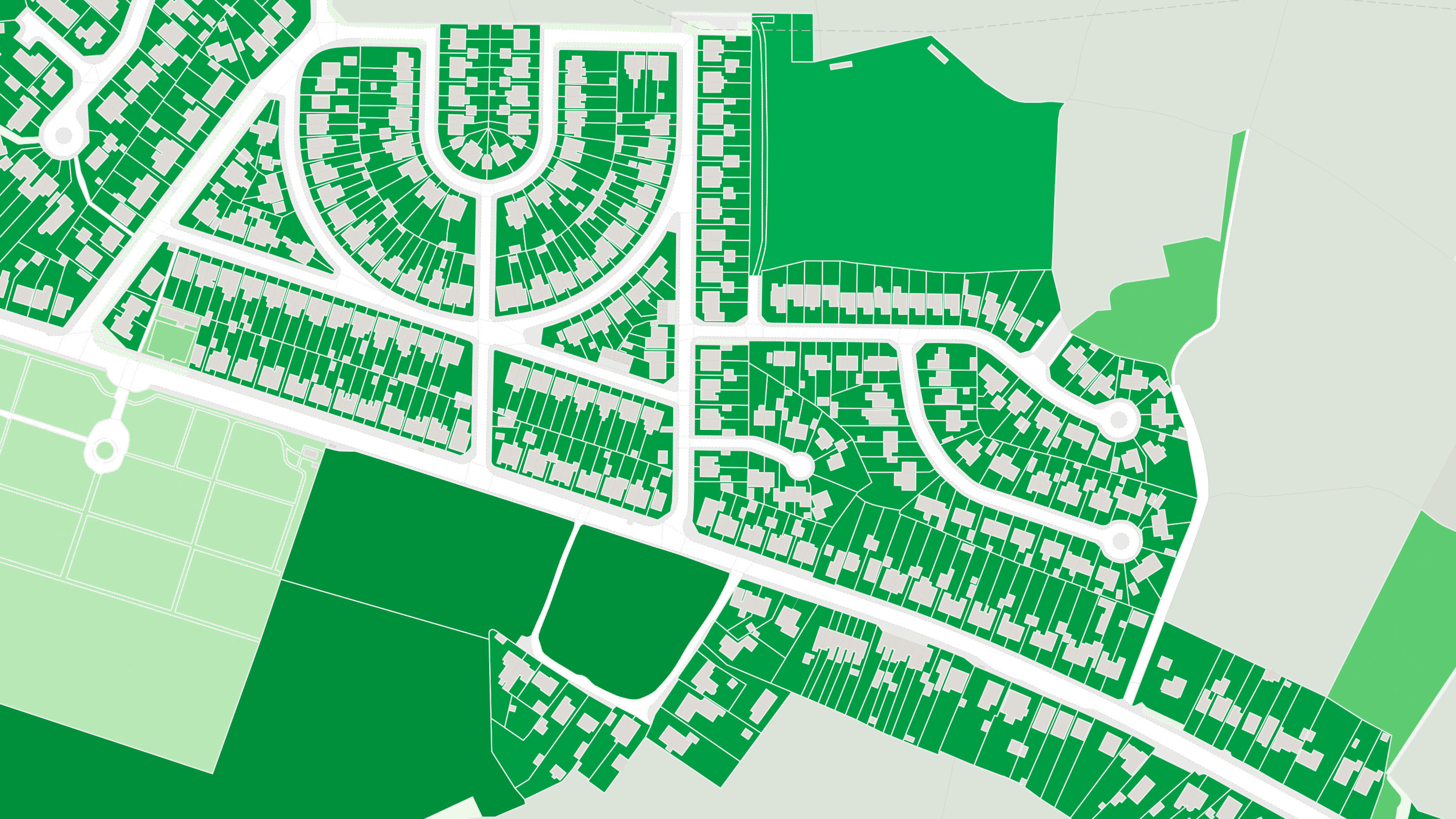
OS MasterMap Greenspace Layer is a detailed dataset of the greenspaces within an urban area for Great Britain.

OS 3D Mesh is a product providing a photorealistic 3D representation of the surface of the Earth and features above it, such as buildings, roads, and vegetation.
A visual representation of Great Britain's transport networks including road, ferry, rail, and path networks, and the connectivity between them all.

Ordnance Survey's MiniScale is an open national backdrop map of Great Britain.

Perform powerful geospatial analysis. Filter the data to receive exactly what you need, as and when you need it.
Our comprehensive list of structure features - manmade constructs that are not buildings: dams, bridges, chimneys, post boxes, and many more.
OS Net RINEX data is a standardised format for storing satellite navigation data collected by OS GNSS base stations in Great Britain.
The statistical geographies used by Government departments to analyse census data, deliver on policy and improve services.
Code-Point® is a postcode locator with postcode units in Great Britain and Northern Ireland.
1:250 000 Scale Colour Raster is an open dataset of the regional view of towns and villages, roads and places of interest.
An open dataset of the high-level view of the road network in Great Britain.
OS Maps API offers the most convenient way to add detailed OS data to your application. Benefit from unrivalled levels of detail in your GIS, web or mobile app.