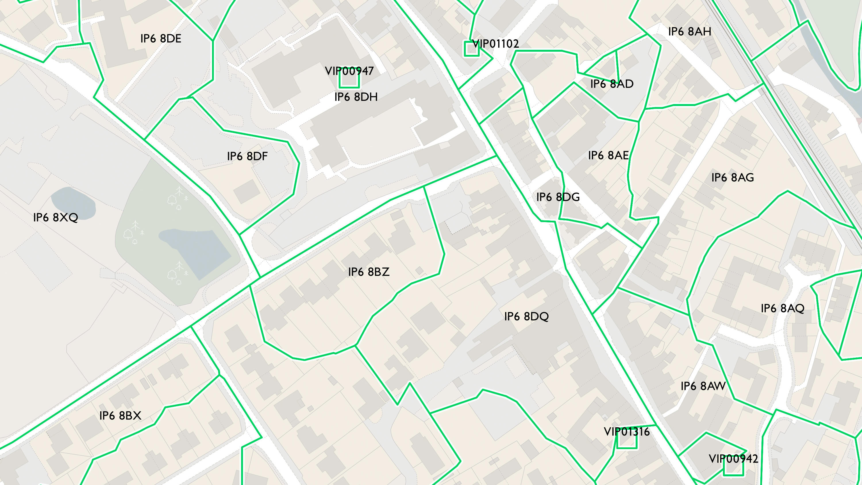
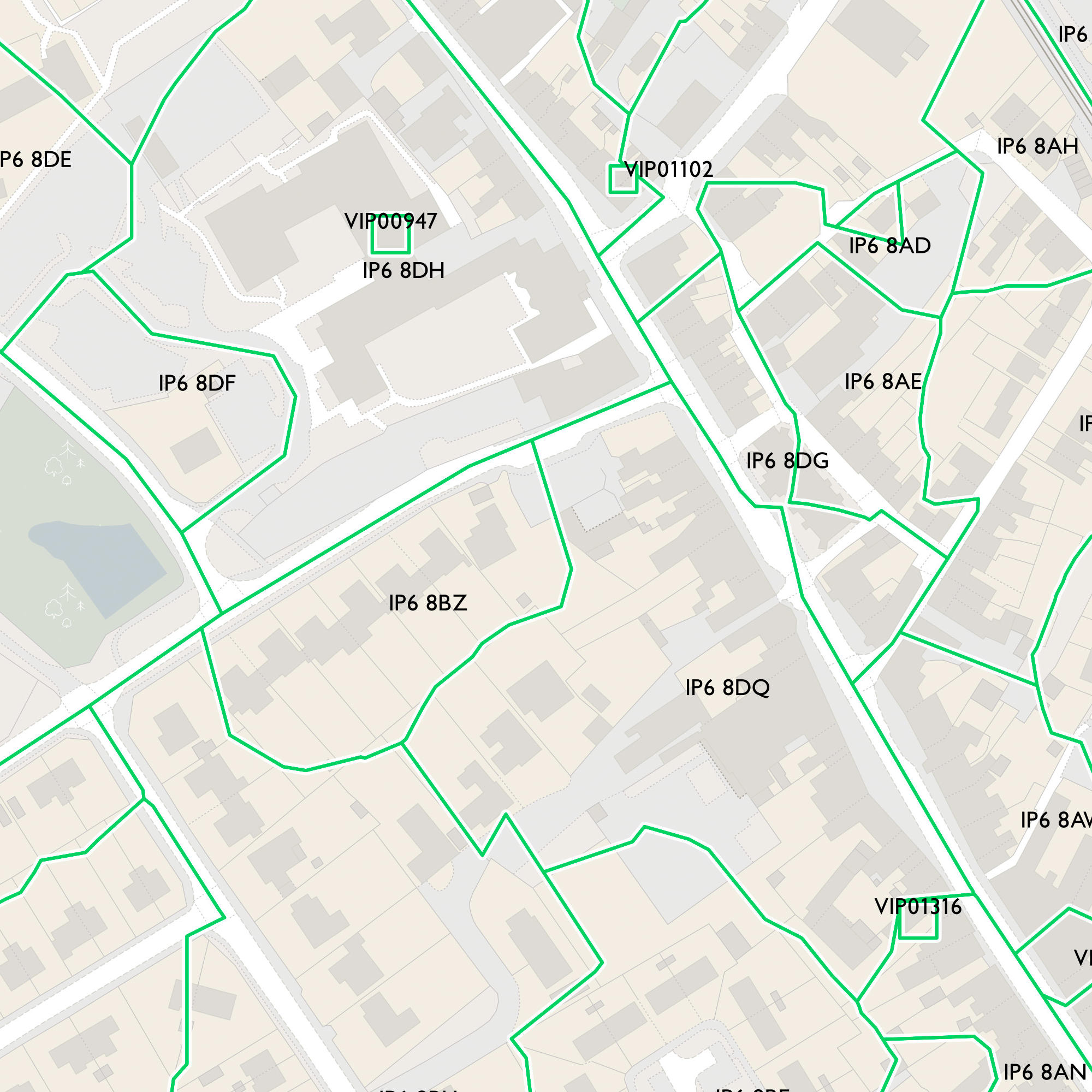
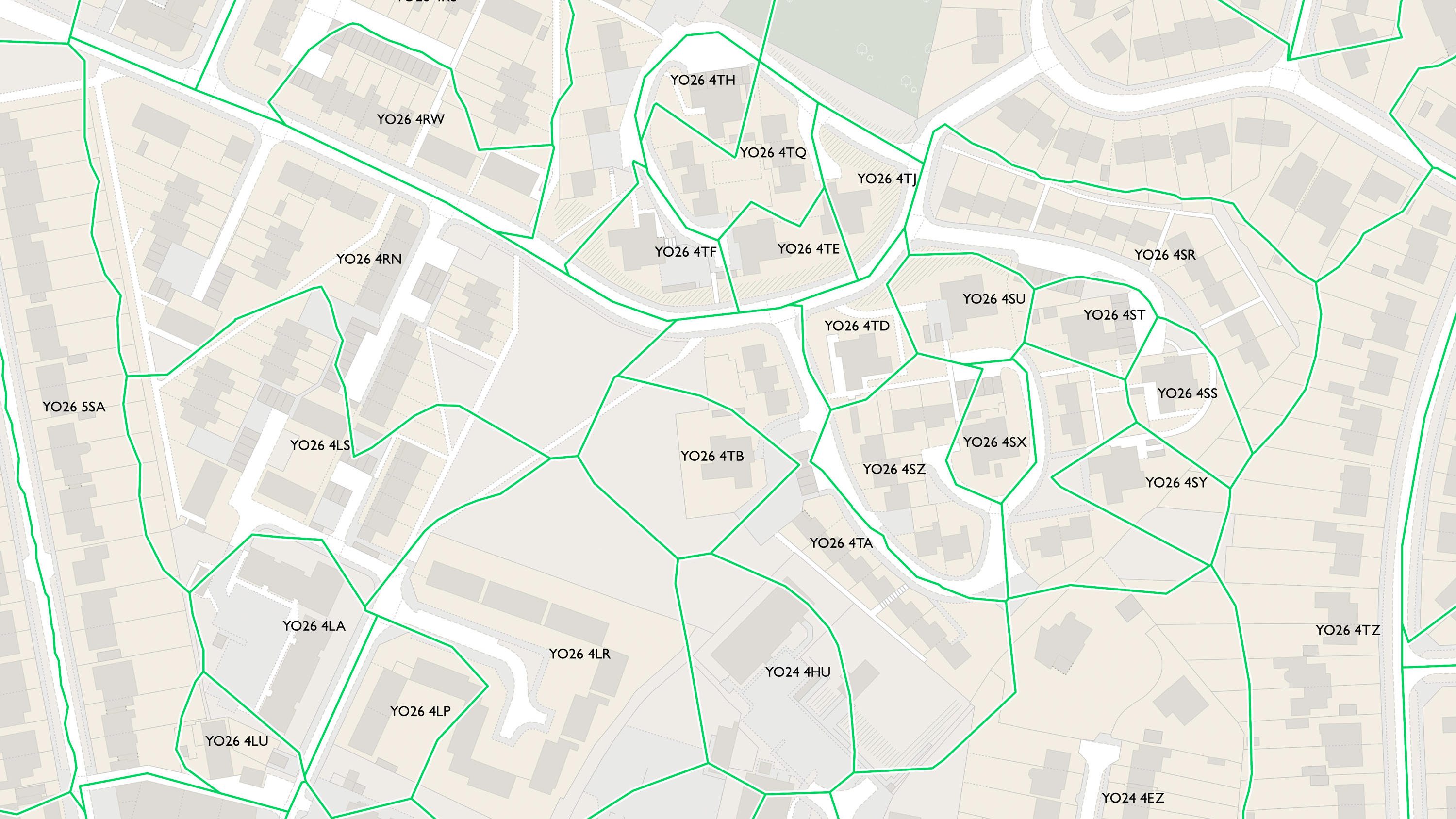
Code-Point with Polygons
With over 1.6 million postcodes all mapped out, Code-Point with Polygons is derived from AddressBase, the Ordnance Survey dataset that provides National Grid reference (NGref) coordinates for each postal delivery address in Great Britain.
This product is updated quarterly