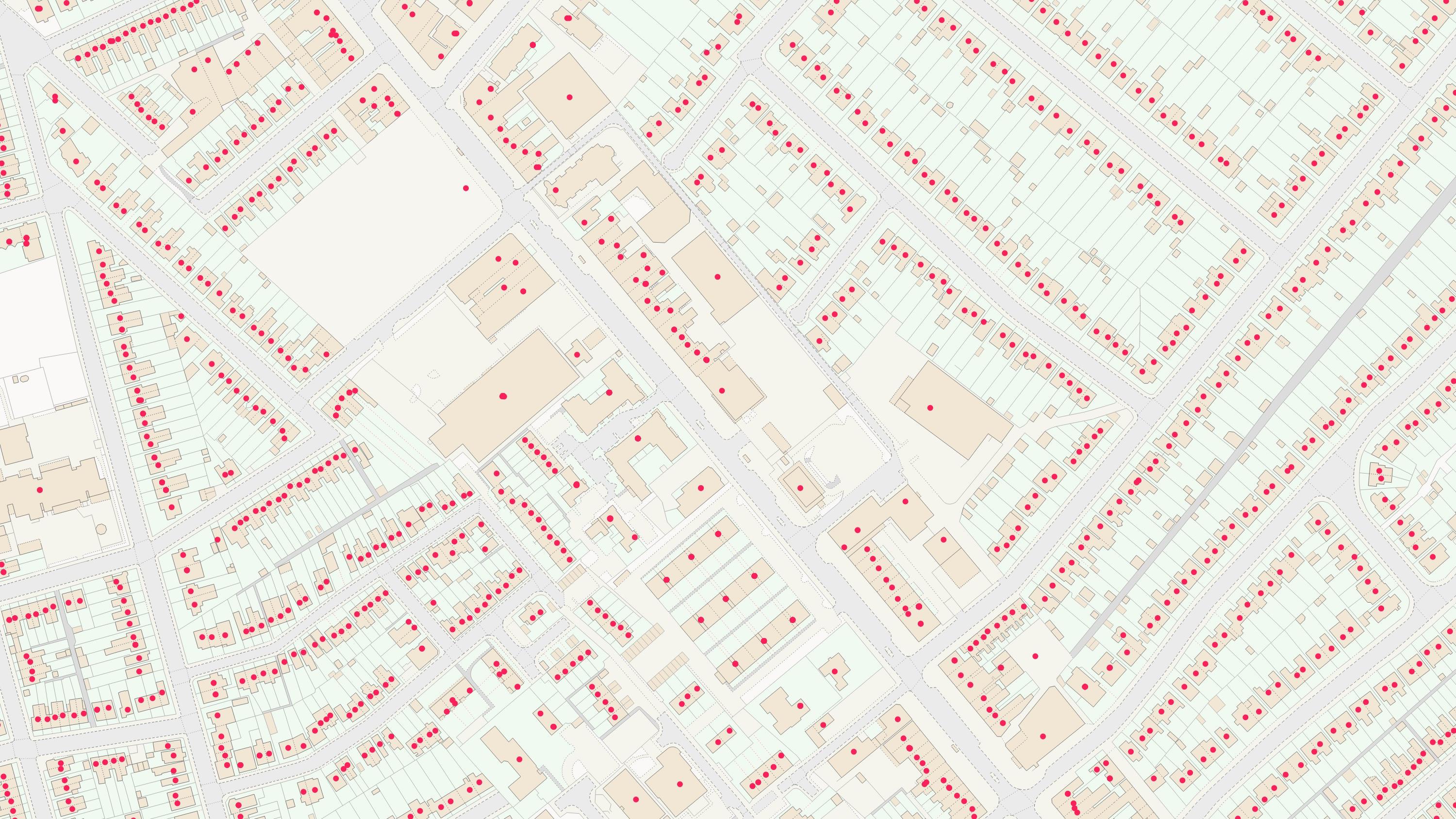
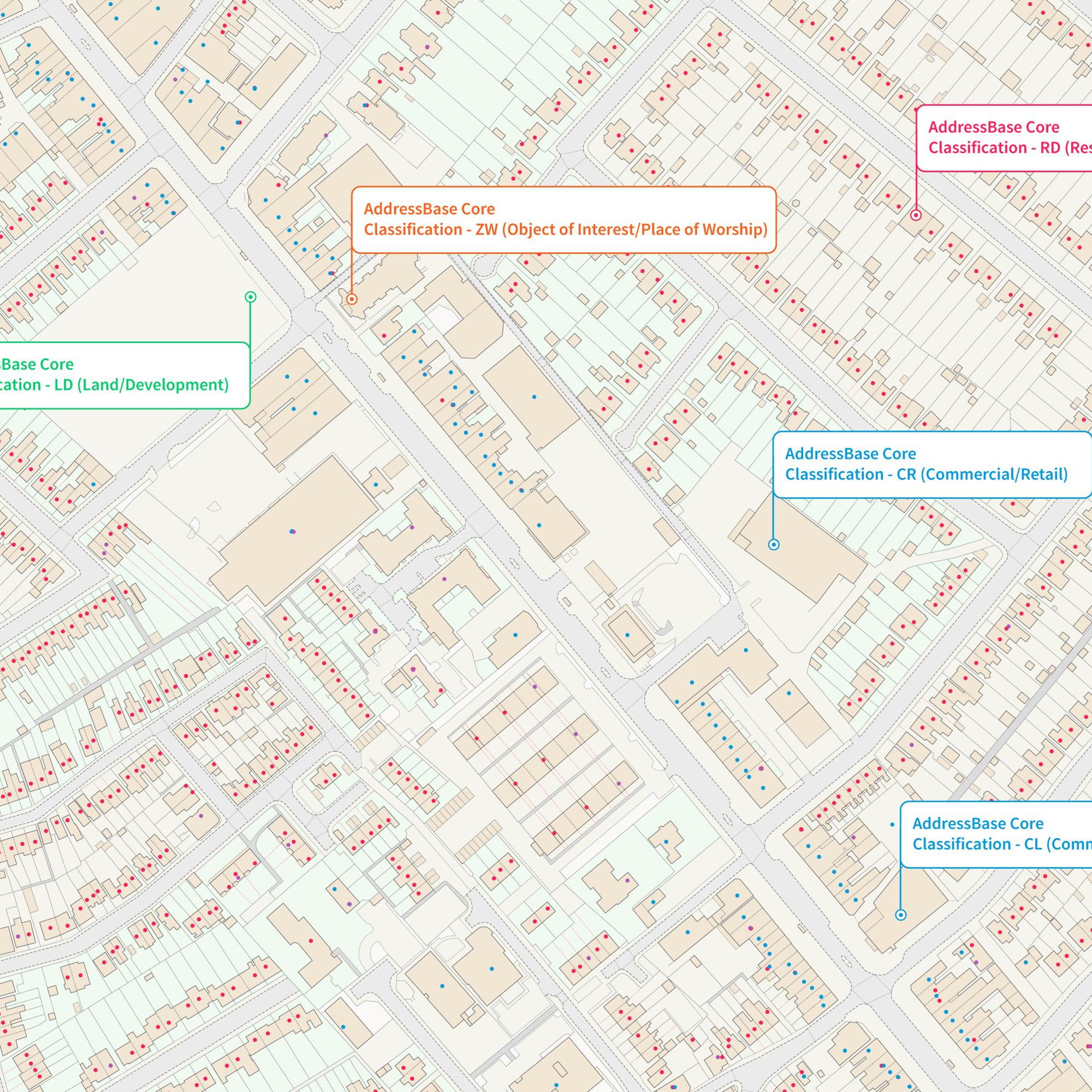
AddressBase Core

Local Authority data is at the heart of AddressBase Core. This data provides you with a complete address product; access to over 33 million addresses each unique referenced with the Unique Property Reference Number (UPRN) and property level coordinates.

  • Addressing and location
  • Download
  • Public Sector Plan
  • Premium Plan

This product is updated weekly

Representation of data provided
© Crown copyright and database rights. Ordnance Survey 2025

What AddressBase Core provides you with

Approved addressing records

AddressBase Core provides approved addressing records for England, Wales and Scotland based on Local Authority holdings of the National Land and Property Gazetteer (NLPG) and One Scotland Address Gazetteer (OSG). Other attribution includes property level coordinates and secondary level classifications (detailing the use and type of an address).

Property classification

Through property classification attributes, you can quickly understand, locate and perform analysis on the type of addresses you want to interact with.

Authoritative data

AddressBase Core's primary source of addressing information is local authority data. They have the legal responsibility to capture and maintain address data for Great Britain, so you can be sure of its authenticity and legal nature.

Weekly updates

AddressBase Core is released weekly, keeping you more up to date with change.

Try this product with free sample data

Download a small area of AddressBase Core.

Or try out the real thing by applying for a Data Exploration Licence

Need more technical information?

Read product guides, technical specification and further documents and support.

AddressBase Core

Technical information

© Crown copyright and database rights. Ordnance Survey 2025

Specifications

Use cases

Property classification

Making the most of the property classification attributes, you can quickly understand, locate and perform analysis on the type of addresses you want to interact with.

Easy cross-referencing

AddressBase Core makes it easier to locate, match and gain insights from other location data with the benefit of having  key identifiers referenced throughout. The Unique Property Reference Number (UPRN), Unique Street Reference Number (USRN) and Topographic Identifier (TOID) allow users to reference to other OS products.

Access
  • Download
Data theme
  • Address
Data structure
Vector - Points
Coverage
Great Britain
Scale
1:1250 to 1:10,000
Format
  • CSV
  • GeoPackage
Ordering area
  • All of Great Britain or customisable area (5km2 tiles)
Publication months
  • January
  • February
  • March
  • April
  • May
  • June
  • July
  • August
  • September
  • October
  • November
  • December
OS Data Hub plan
  • Public Sector Plan
  • Premium Plan

Documents and Support

Technical documentation

  • AddressBase Core technical documentation
    Visit docs.os.uk to access all technical documentation for this product, including getting started guide, technical specification, and classification codes.
    link

AddressBase Core

Get this product

What you get

Key features
  • Approved addressing records
  • Property classification
  • Authoritative data
  • Weekly updates
Category
Addressing and location
Access
  • Download
Data structure
Vector - Points
Update frequency
Weekly

Try this product with free sample data

Download a small area of AddressBase Core.

Or try out the real thing by applying for a Data Exploration Licence

How to access

Businesses

Ordnance Survey's commercial network of Partners can help you with bespoke location solutions, derived from OS data

Ranging from global giants to single entrepreneurs, our Partners all use our location data to create innovative products and services. Their expertise ensures customers can benefit from using our data for a range of services. Find a partner for addressing and location mapping requirements.

Find a Partner

Developers

Ready to get started with our data and APIs?

Choose your plan and create your account. Take the next step by signing up to the OS Data Hub and create your first project today.

Sign up to the OS Data Hub

Our Partners

Download Premium data from the OS Data Hub

If you're an OS Licensed Partner you can use the OS Data Hub to access OS data products and manage your account all in one place.

Read guidance for Partners

Government and public sector

OS Data Hub for PSGA members

If your organisation is a member of the Public Sector Geospatial Agreement, access the OS Data Hub to access our products.

Go to the OS Data Hub

Get help

Further support

For further help about how our data can transform your organisation, contact us today

Contact us