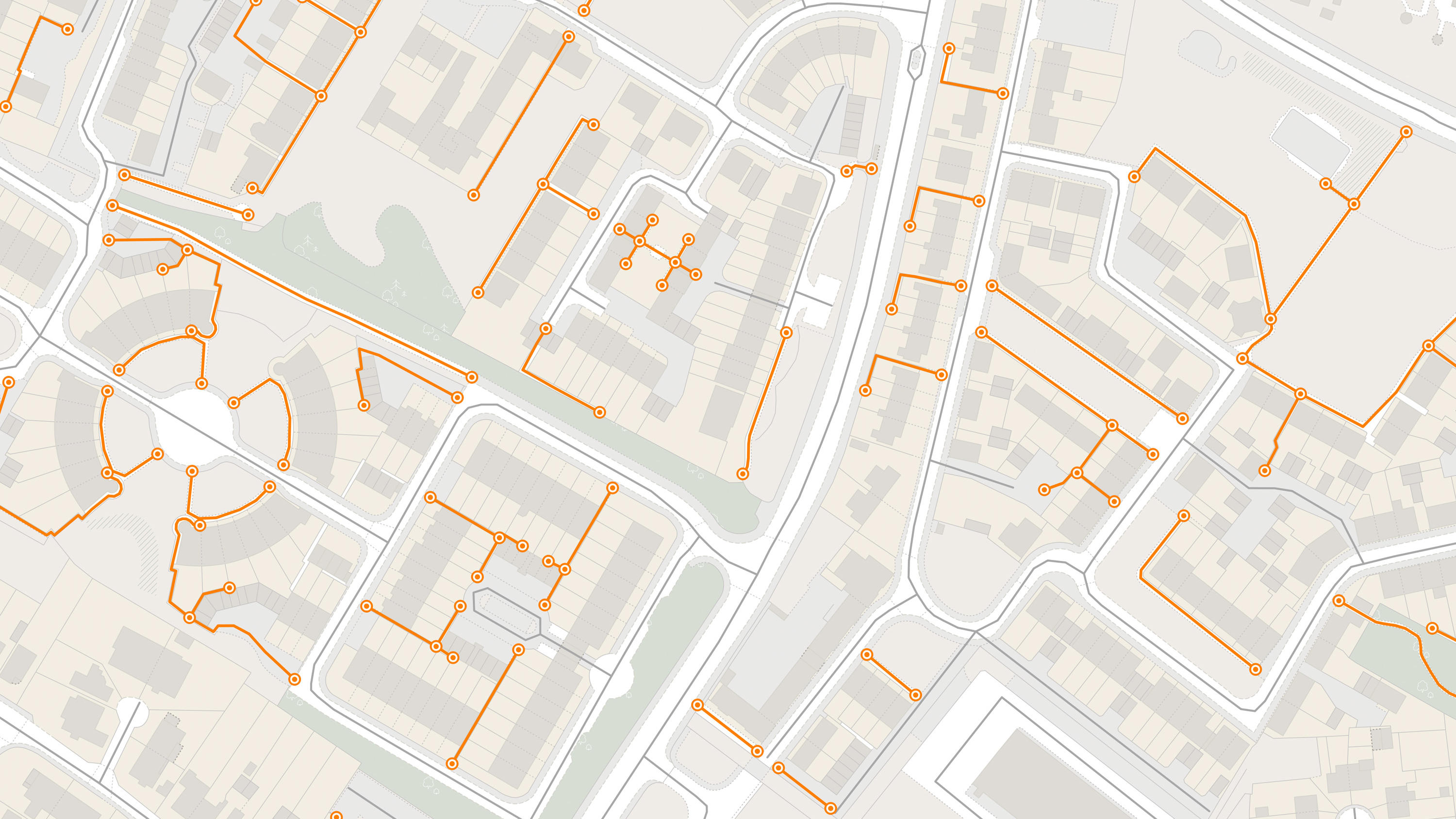
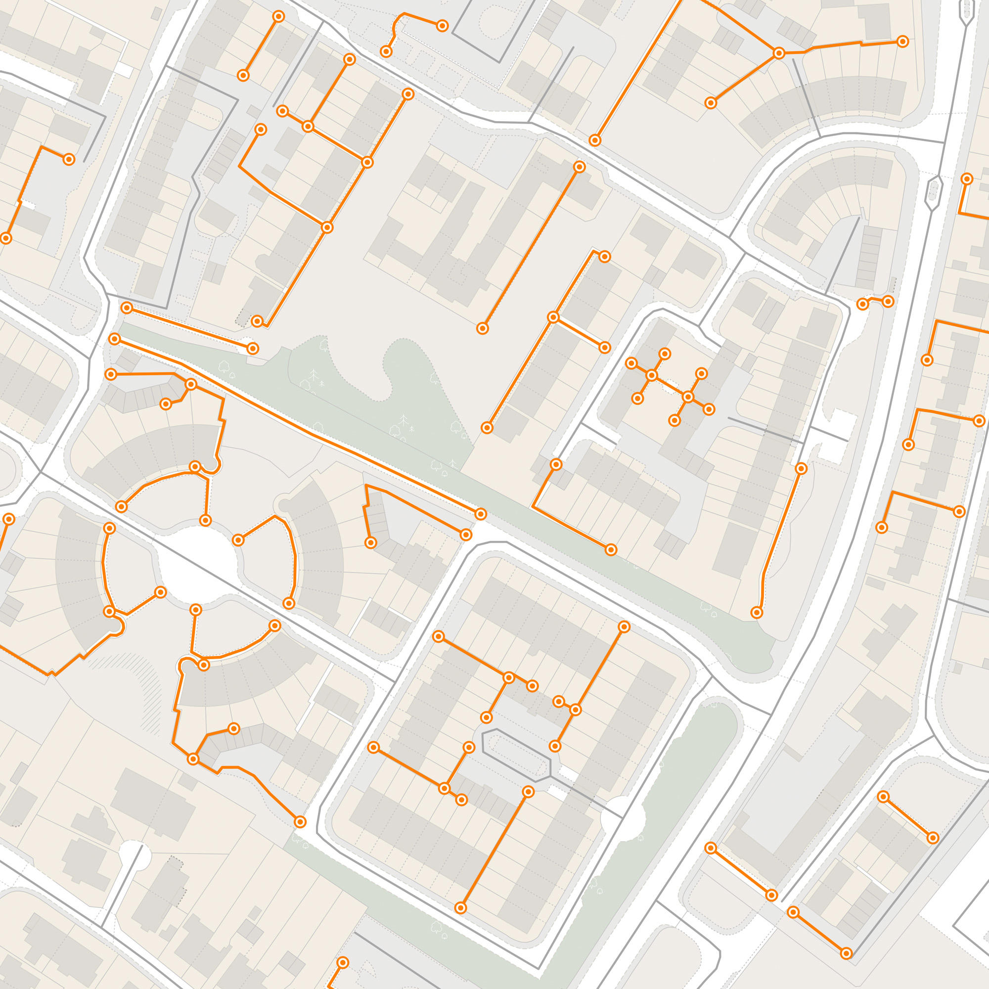
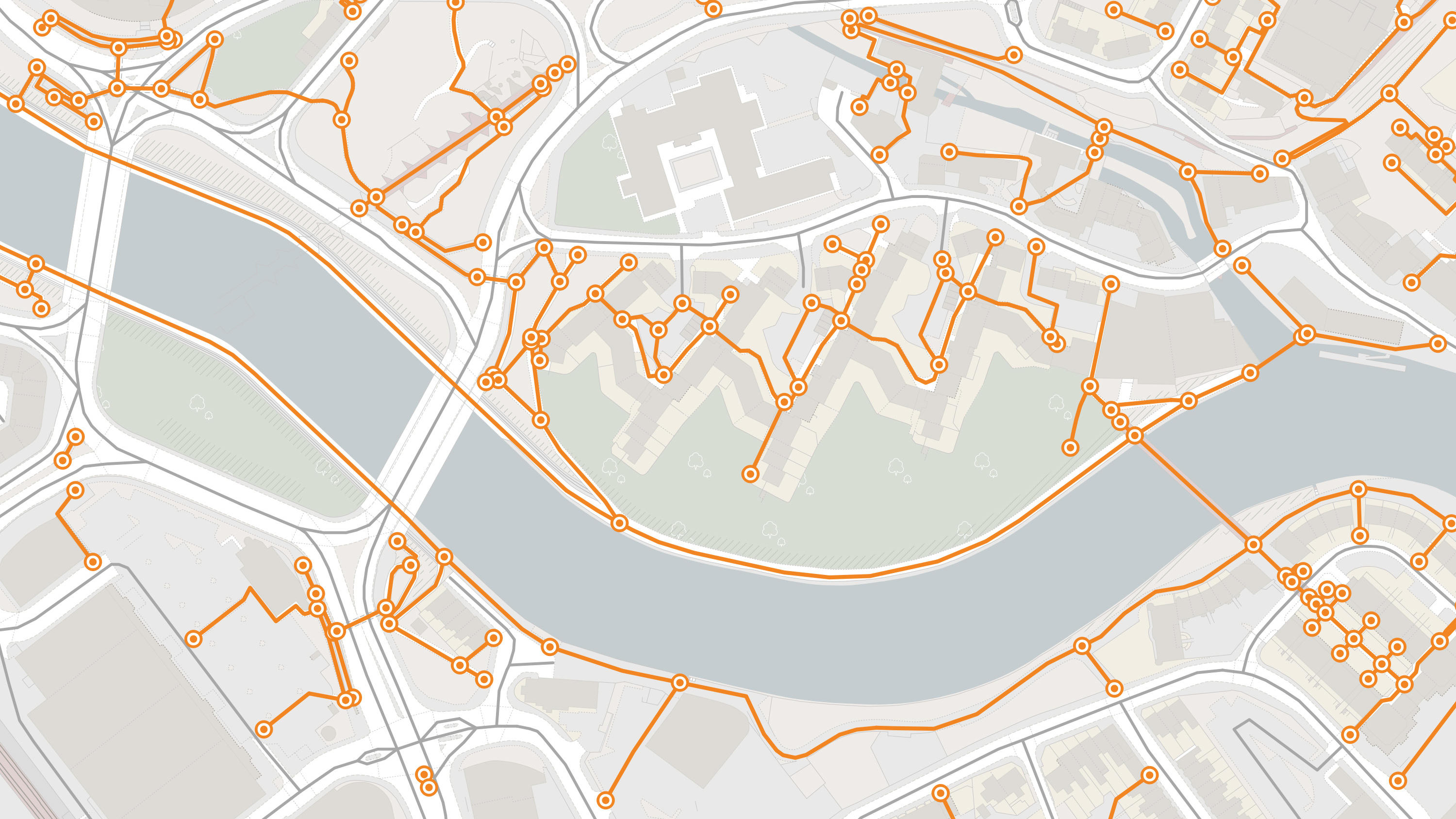
OS MasterMap Highways Network - Paths
A path network dataset showing who is responsible for the footpaths across Great Britain. The dataset helps you understand how people connect to towns and cities around them. You will see the true time it takes for the citizen to access existing services – as well as the new services required in the community.
This product is updated monthly