1:50 000 Scale Colour Raster
The digital alternative to our popular OS Landranger paper map series, this is a high-quality map of Great Britain, available in 20km square tiles.
This product is updated quarterly
The digital alternative to our popular OS Landranger paper map series, this is a high-quality map of Great Britain, available in 20km square tiles.
This product is updated quarterly
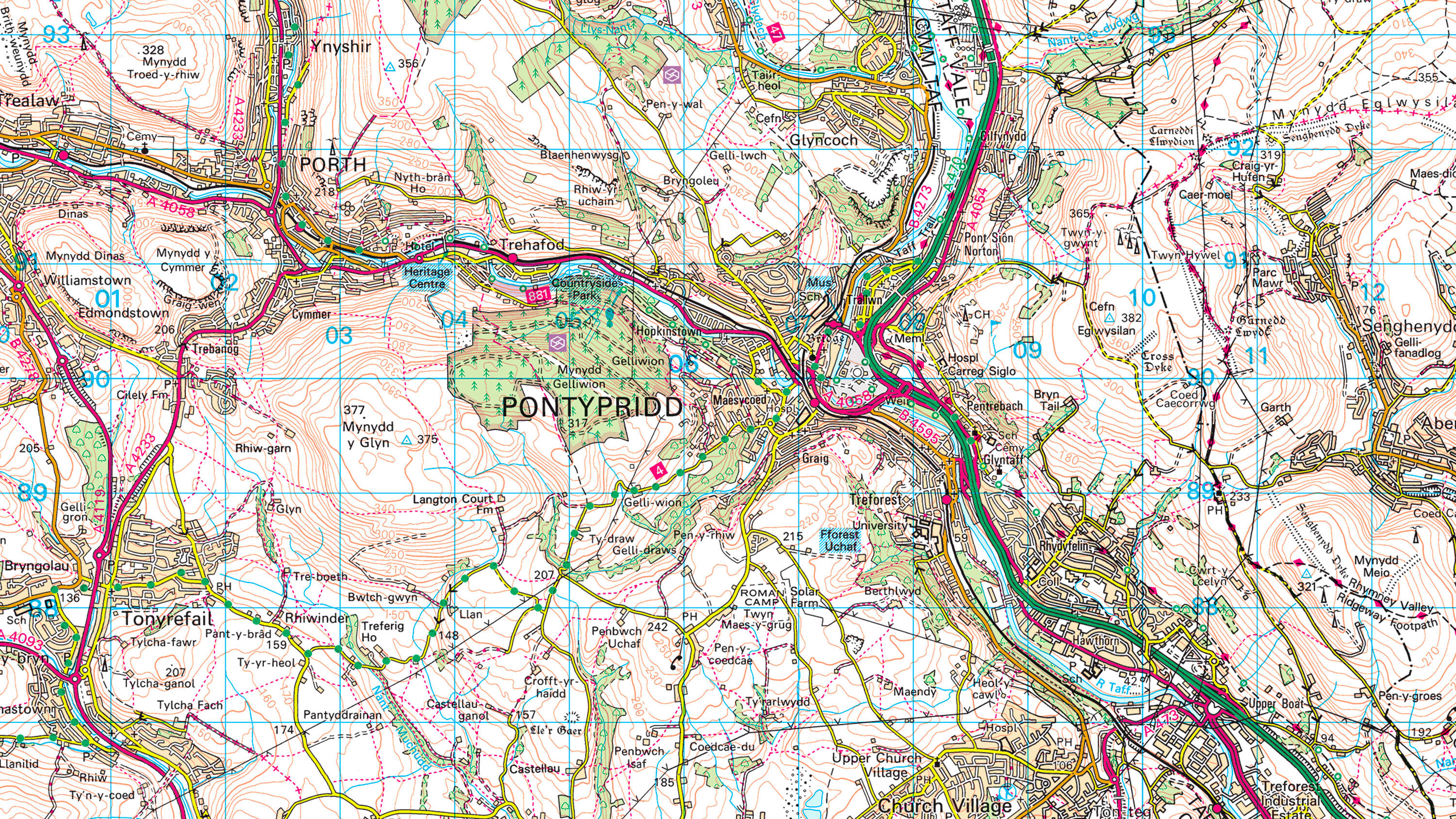
1:50 000 Scale Colour Raster helps emergency control centre staff respond more effectively to calls. Using clearly shown landmarks, they can ask distressed callers if they can see the local pub or church, to pinpoint incident locations quickly.
We give you 1:50 000 Scale Colour Raster at a resolution of 254 dpi – and Partners at a staggering 660 dpi – so it looks stunning on today’s high-resolution displays, whether on desktop, tablet or mobile.
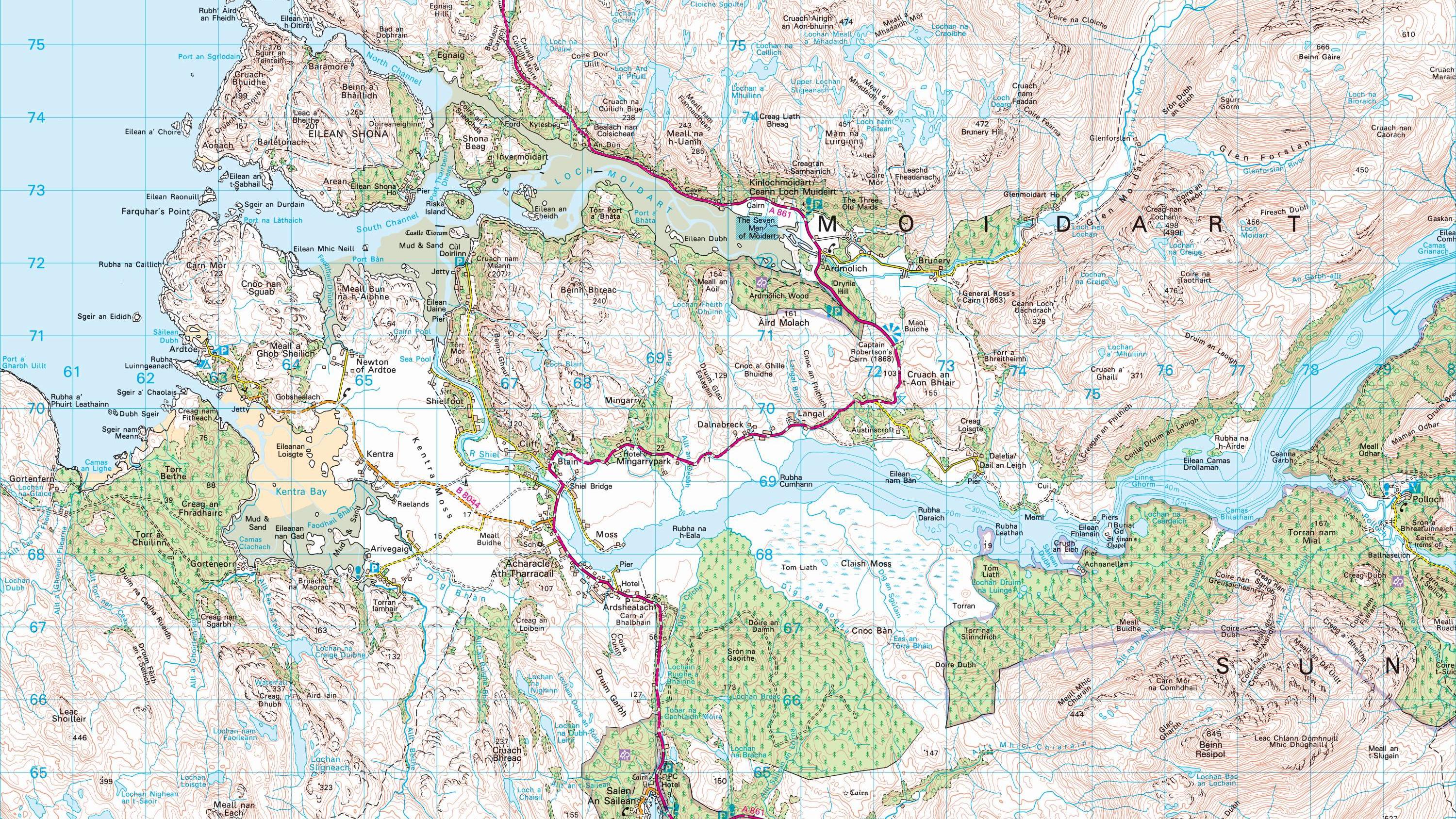
Tourist and heritage attractions of many types are shown on this mapping, so leisure app users can use it to find their way by road, footpath or cycle route to a place of interest, whether it’s a sports centre or a nature reserve.
When you need map extracts for a consultation document or a published magazine, you can open 1:50 000 Scale Colour Raster TIFF files in software like Photoshop and InDesign.
Download a small area of 1:50 000 Scale Colour Raster.
Technical information
For local planners, this map helps you spot brownfield sites ripe for development, and analyse the quality of local transport links. Railways and important roads are clearly colour-coded.
1:50 000 Scale Colour Raster is a must-have map in any navigation app or device for walkers and cyclists. It depicts the landscape with superb detail and clarity.
Get this product
Download a small area of 1:50 000 Scale Colour Raster.
Ordnance Survey's commercial network of Partners can help you with bespoke location solutions, derived from OS data
Ranging from global giants to single entrepreneurs, our Partners all use our location data to create innovative products and services. Their expertise ensures customers can benefit from using our data for a range of services. Find a partner for contextual or derived mapping requirements.
Ready to get started with our data and APIs?
Choose your plan and create your account. Take the next step by signing up to the OS Data Hub and create your first project today.
Download Premium data from the OS Data Hub
If you're an OS Licensed Partner you can use the OS Data Hub to access OS data products and manage your account all in one place.
OS Data Hub for PSGA members
If your organisation is a member of the Public Sector Geospatial Agreement, access the OS Data Hub to access our products.
For further help about how our data can transform your organisation, contact us today
Contact us