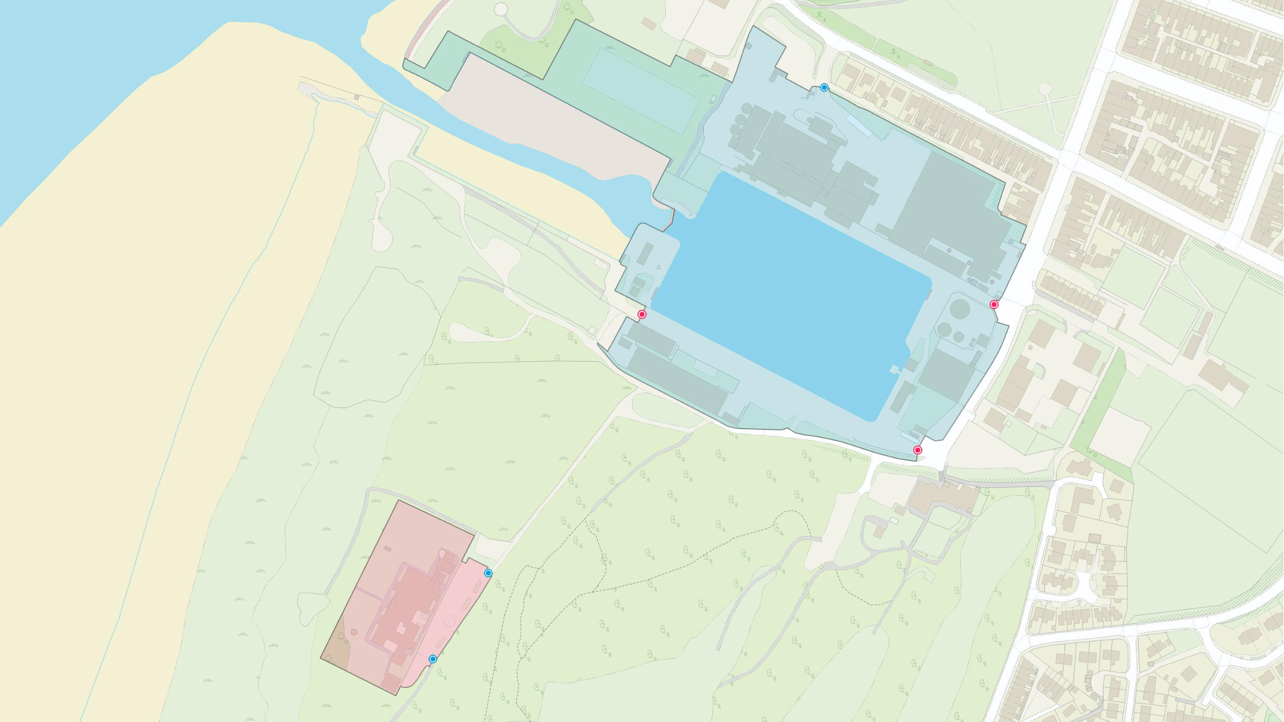
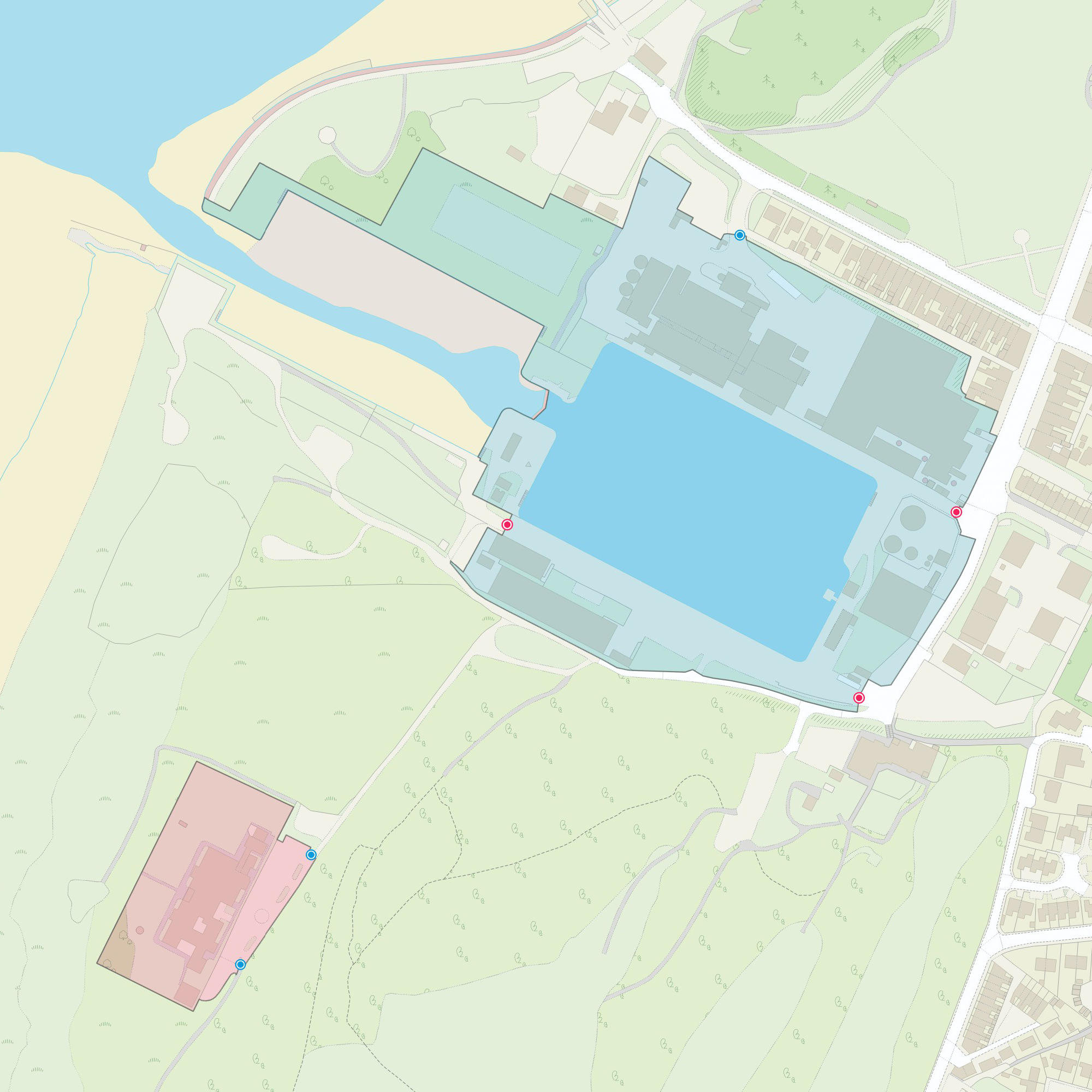
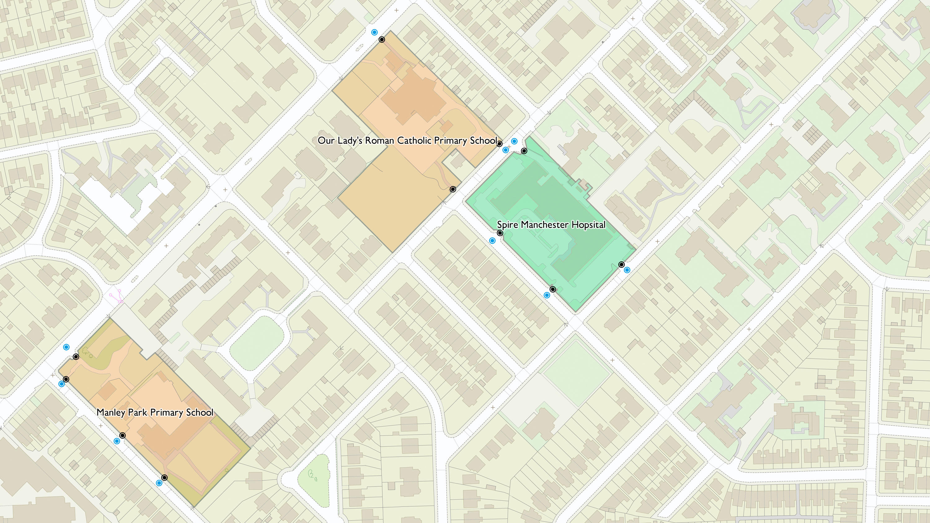
OS MasterMap Sites Layer
OS MasterMap Sites Layer shows what people see in the real world, where the common view of something (such as a school) is not the address, the main building or the playing fields, but is the site as a whole.
This product is updated every six months