Code-Point
Code-Point is a postcode locator with postcode units in Great Britain and Northern Ireland. Get started with geographical analysis, simple route planning and asset management using Code-Point.
This product is updated quarterly
Code-Point is a postcode locator with postcode units in Great Britain and Northern Ireland. Get started with geographical analysis, simple route planning and asset management using Code-Point.
This product is updated quarterly
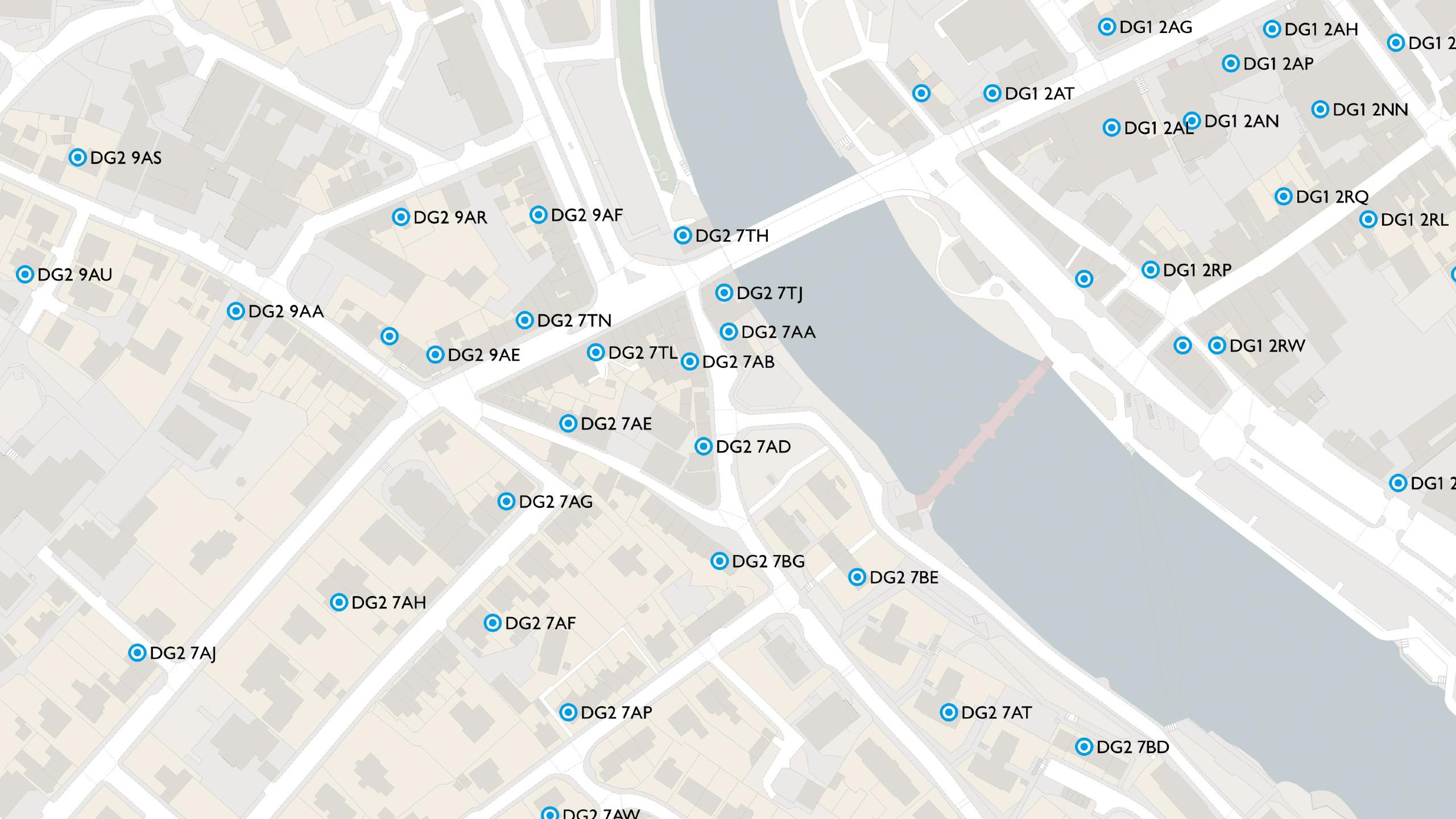
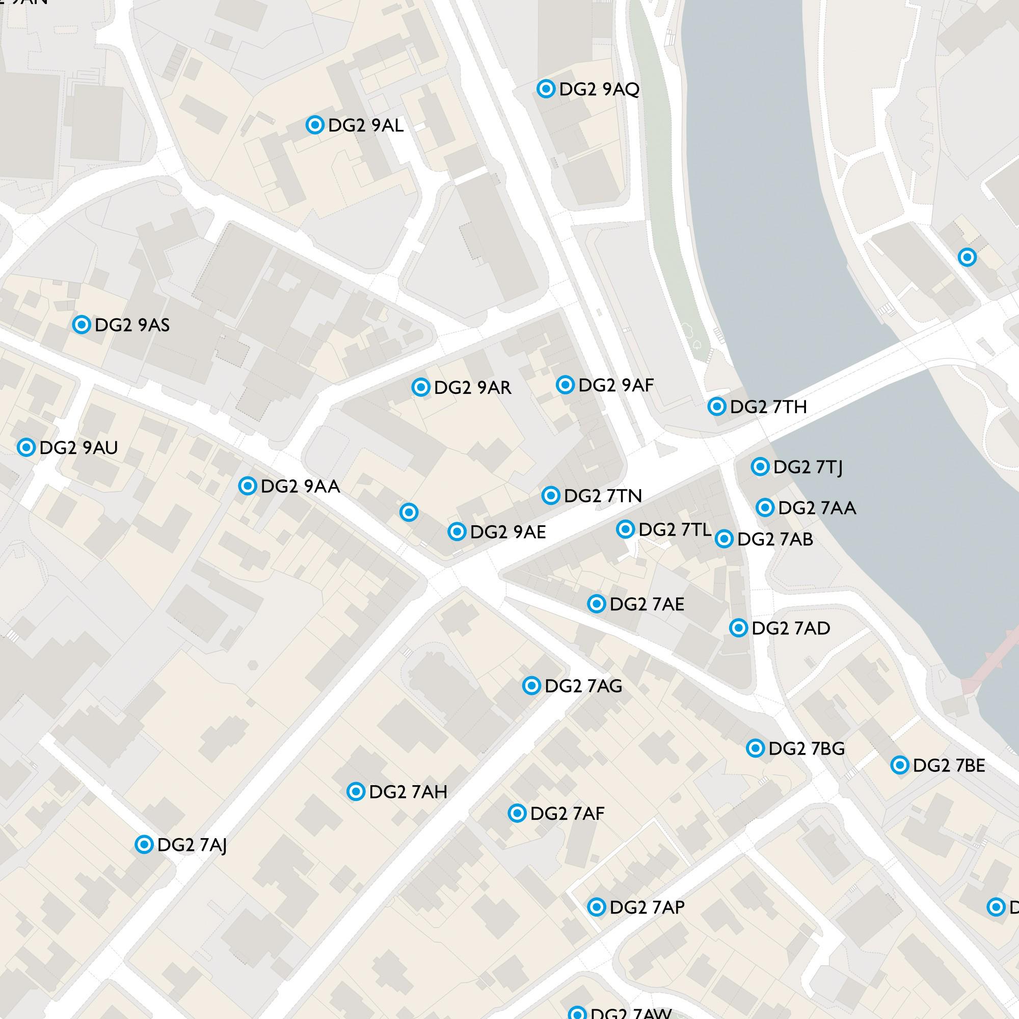
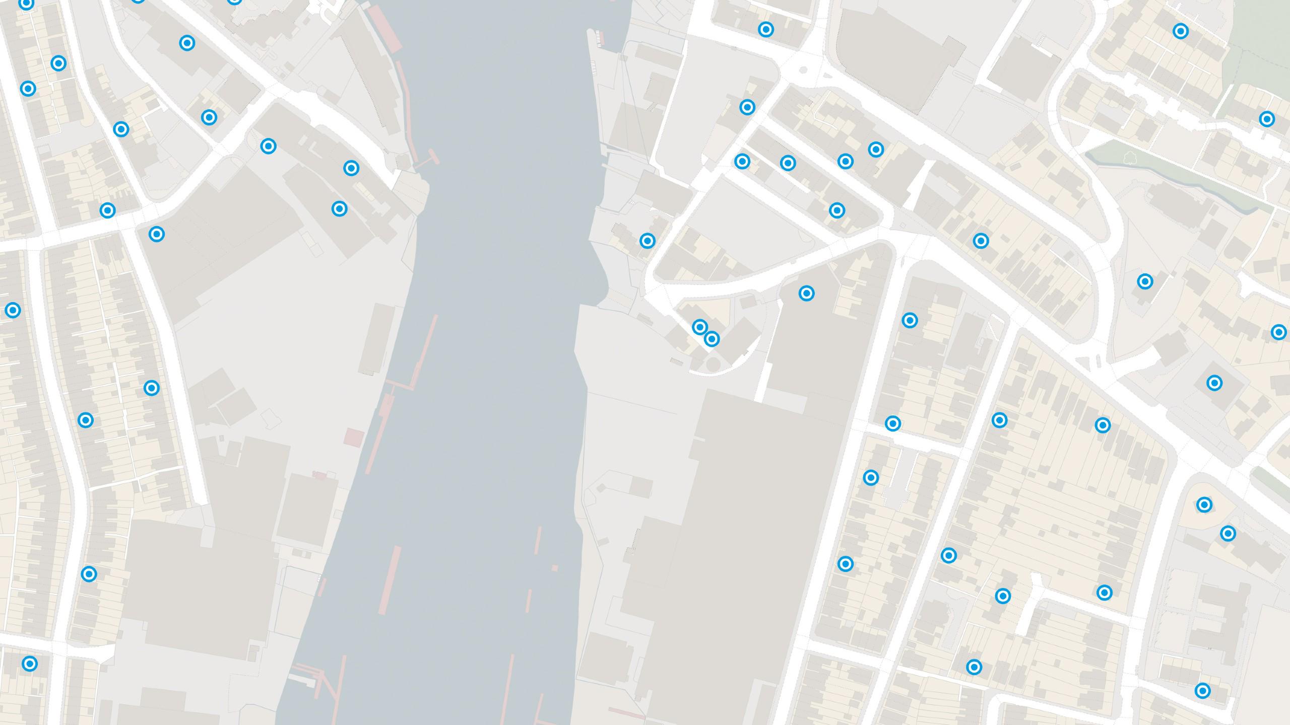
Coverage of over 1.7 million postcodes in Great Britain and Northern Ireland updated quarterly – accurate depiction of all live postcodes in GB and NI.
Understand the split of residential and commercial delivery points within a postcode area for a greater depth of analysis.
Combine your statistical and health datasets with postcode data by linking to ONS administrative codes and Health Authority codes provided with Code-Point.
Technical information
Code-Point data provides:
Get this product
Ordnance Survey's commercial network of Partners can help you with bespoke location solutions, derived from OS data
Ranging from global giants to single entrepreneurs, our Partners all use our location data to create innovative products and services. Their expertise ensures customers can benefit from using our data for a range of services. Find a partner for contextual or derived mapping requirements.
Ready to get started with our data and APIs?
Choose your plan and create your account. Take the next step by signing up to the OS Data Hub and create your first project today.
Download Premium data from the OS Data Hub
If you're an OS Licensed Partner you can use the OS Data Hub to access OS data products and manage your account all in one place.
OS Data Hub for PSGA members
If your organisation is a member of the Public Sector Geospatial Agreement, access the OS Data Hub to access our products.
For further help about how our data can transform your organisation, contact us today
Contact us