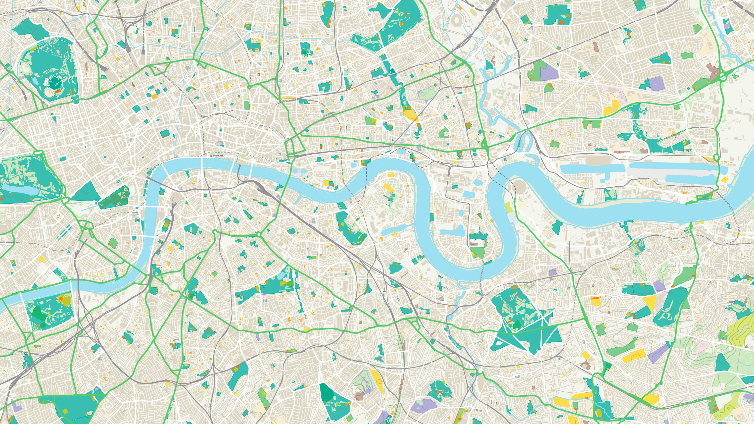
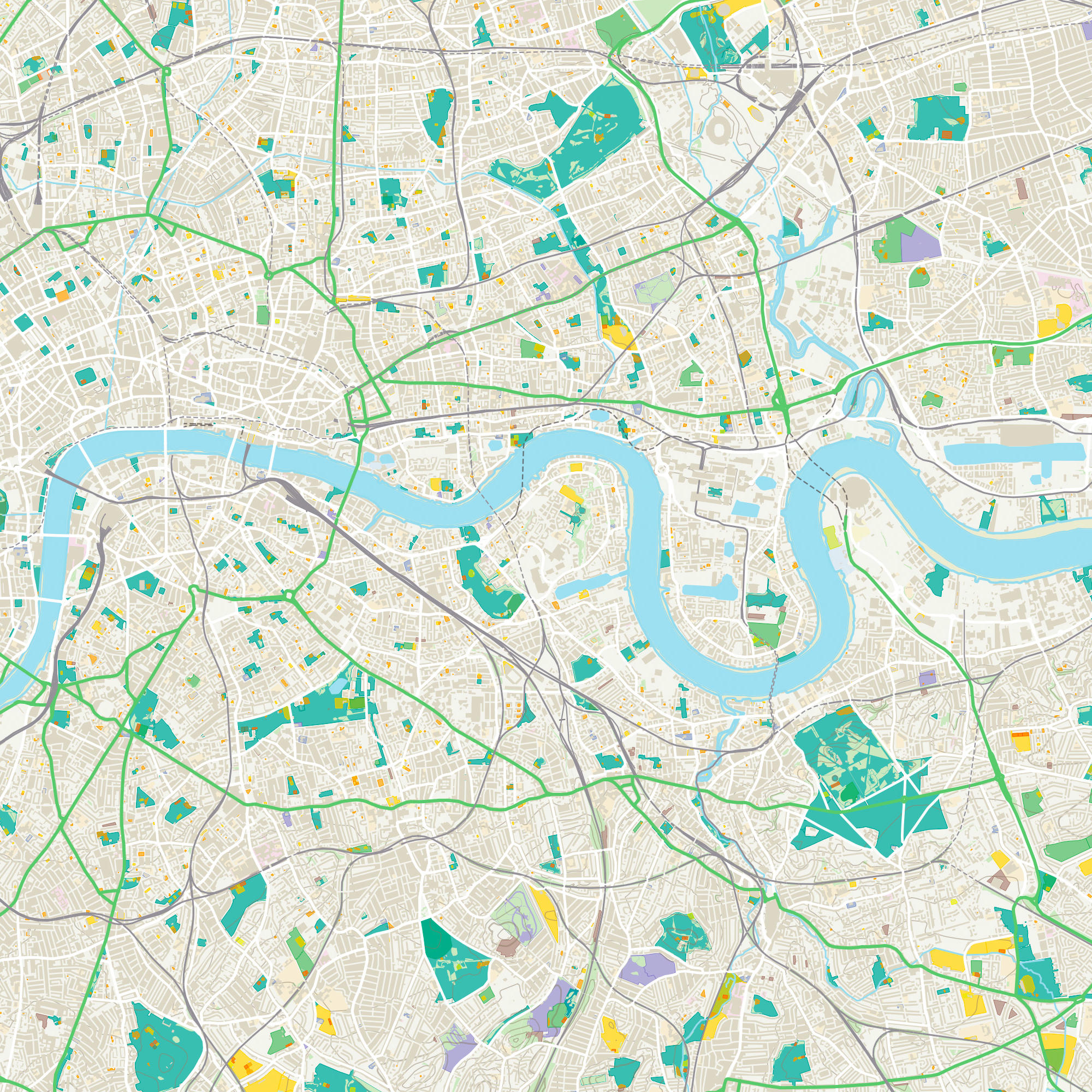
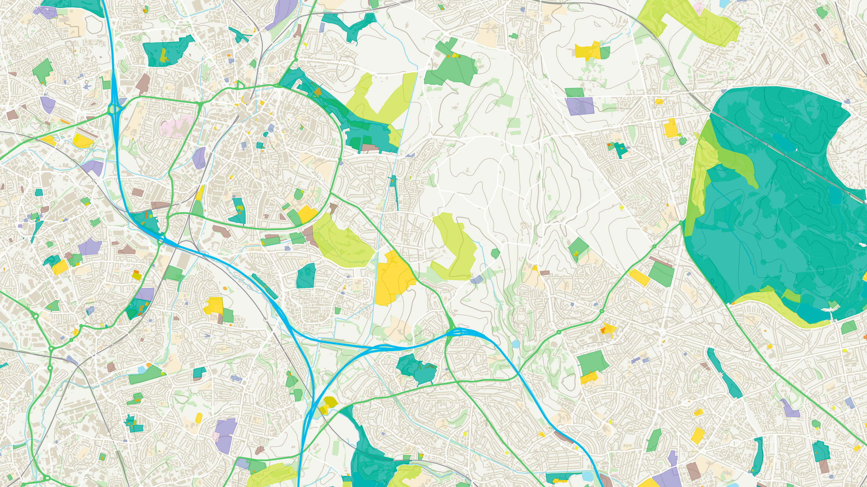
OS Open Greenspace

Find the location of public parks, playing fields, sports facilities, play areas, allotments and more with OS Open Greenspace.

  • Topography
  • Download
  • OS OpenData Plan (FREE)
  • Premium Plan
  • Public Sector Plan

This product is updated every six months

Representation of data provided
© Crown copyright and database rights. Ordnance Survey 2025

What OS Open Greenspace provides you with

Comprehensive Open dataset of greenspace

Finding greenspaces has never been easier. Britain’s most comprehensive Open dataset of greenspace provides the foundation for you to help create greener and healthier communities.

Understand locations and access points

Understand the location of public parks, playing fields, sports facilities, play areas and allotments, along with access points for entering and exiting urban and rural greenspaces.

Green communities

Britain’s most comprehensive Open dataset of greenspaces underpins a range of apps, products and innovations - providing the foundation to help create greener and healthier communities.

Planning for health

Incorporated as a layer into SHAPE, the dataset has been used alongside asset location data (GPs, pharmacies, schools) and indicator data (population and deprivation), to help inform and support the strategic planning of services and physical assets across the health economy.

Vital in emergencies

A vital tool in helping our emergency services, OS Open Greenspace includes site use and access points, making it quicker to get to emergency situations.

OS Open Greenspace

Technical information

© Crown copyright and database rights. Ordnance Survey 2025

Specifications

Access
  • Download
Data theme
  • Land
  • Land Use
Data structure
Vector
Coverage
Great Britain
Scale
1:1250 to 1:10,000
Format
  • ESRI Shapefile
  • GML 3.2.1
  • Vector Tiles (MBTiles)
  • GeoPackage
Ordering area
  • All of Great Britain or customisable area (100km2 tiles)
Publication months
  • April
  • October
OS Data Hub plan
  • OS OpenData Plan (FREE)
  • Premium Plan
  • Public Sector Plan

Documents and Support

Technical documentation

  • OS Open Greenspace technical documentation
    Visit docs.os.uk to access all technical documentation for this product, including getting started guide, technical specification, release notes, and other supporting documents.
    link

OS Open Greenspace

Get this product

What you get

Key features
  • Comprehensive Open dataset of greenspace
  • Understand locations and access points
  • Green communities
  • Planning for health
  • Vital in emergencies
Category
Topography
Access
  • Download
Data structure
Vector
Update frequency
Every six months

How to access

OS OpenData is free

Ready to get started with OS data?

Take the next step by signing up to the OS Data Hub and create your first project today.

Sign up to the OS Data Hub

Get this product

Access for free and benefit from using OS data

Get help

Further support

For further help about how our data can transform your organisation, contact us today

Contact us