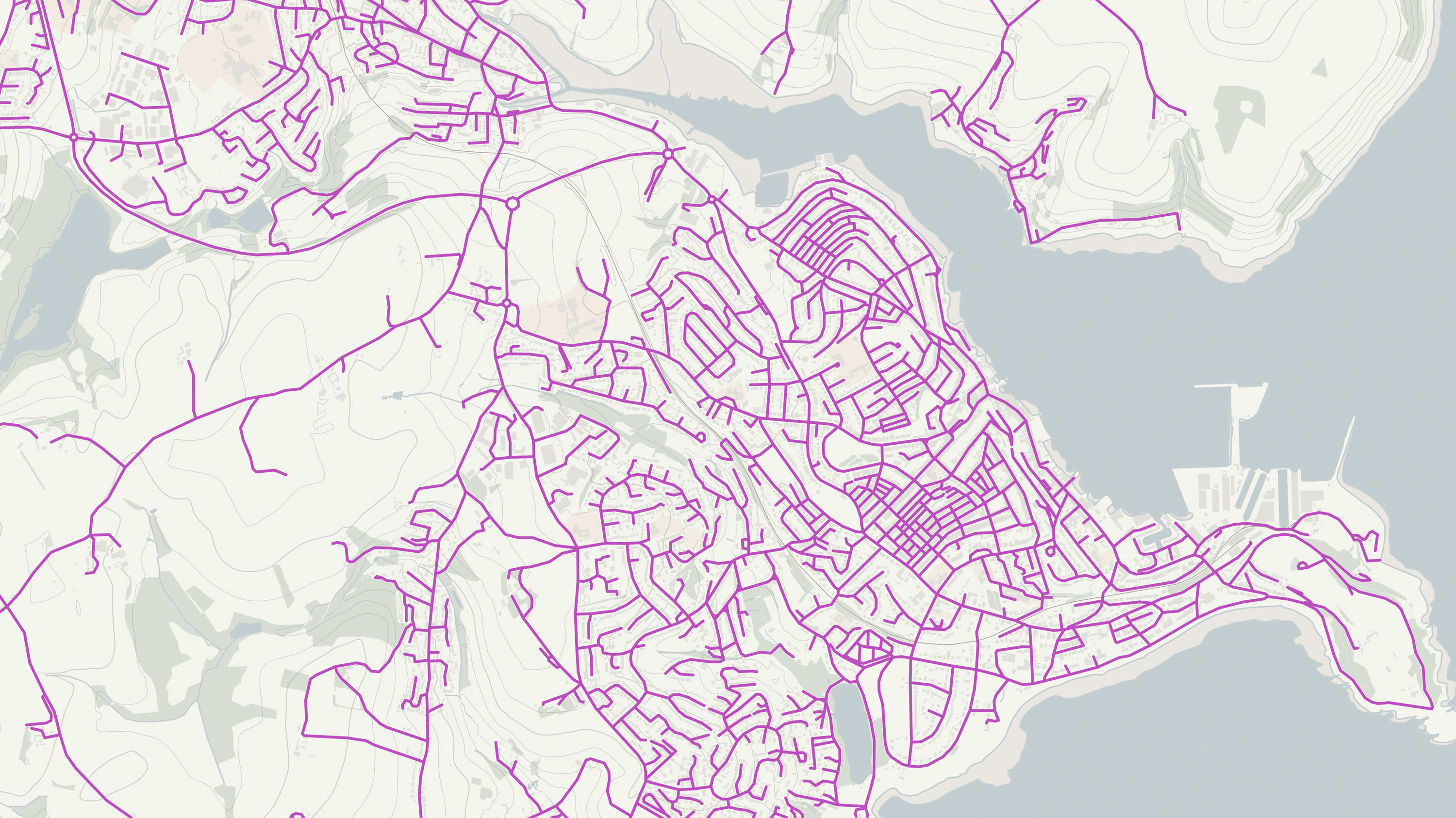
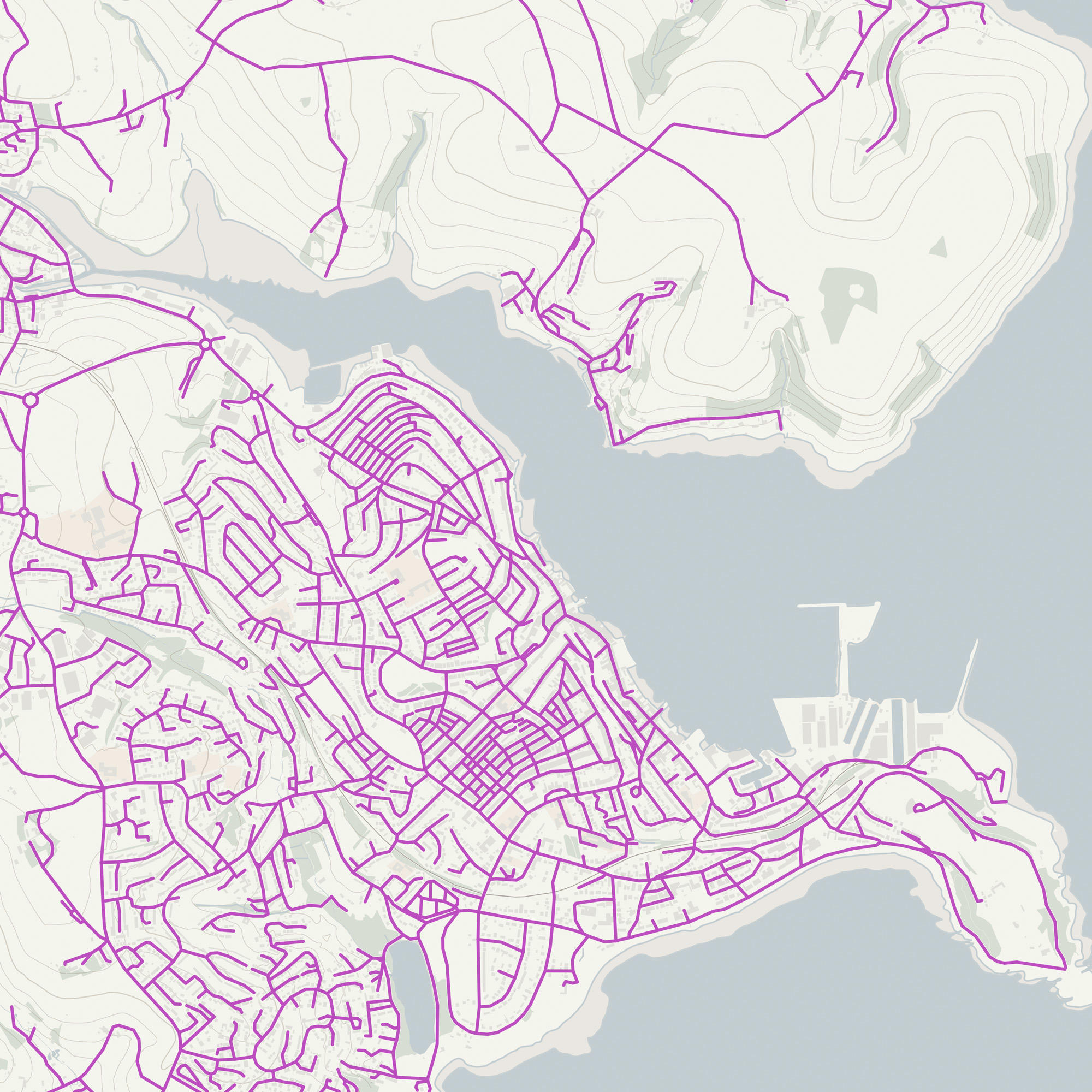
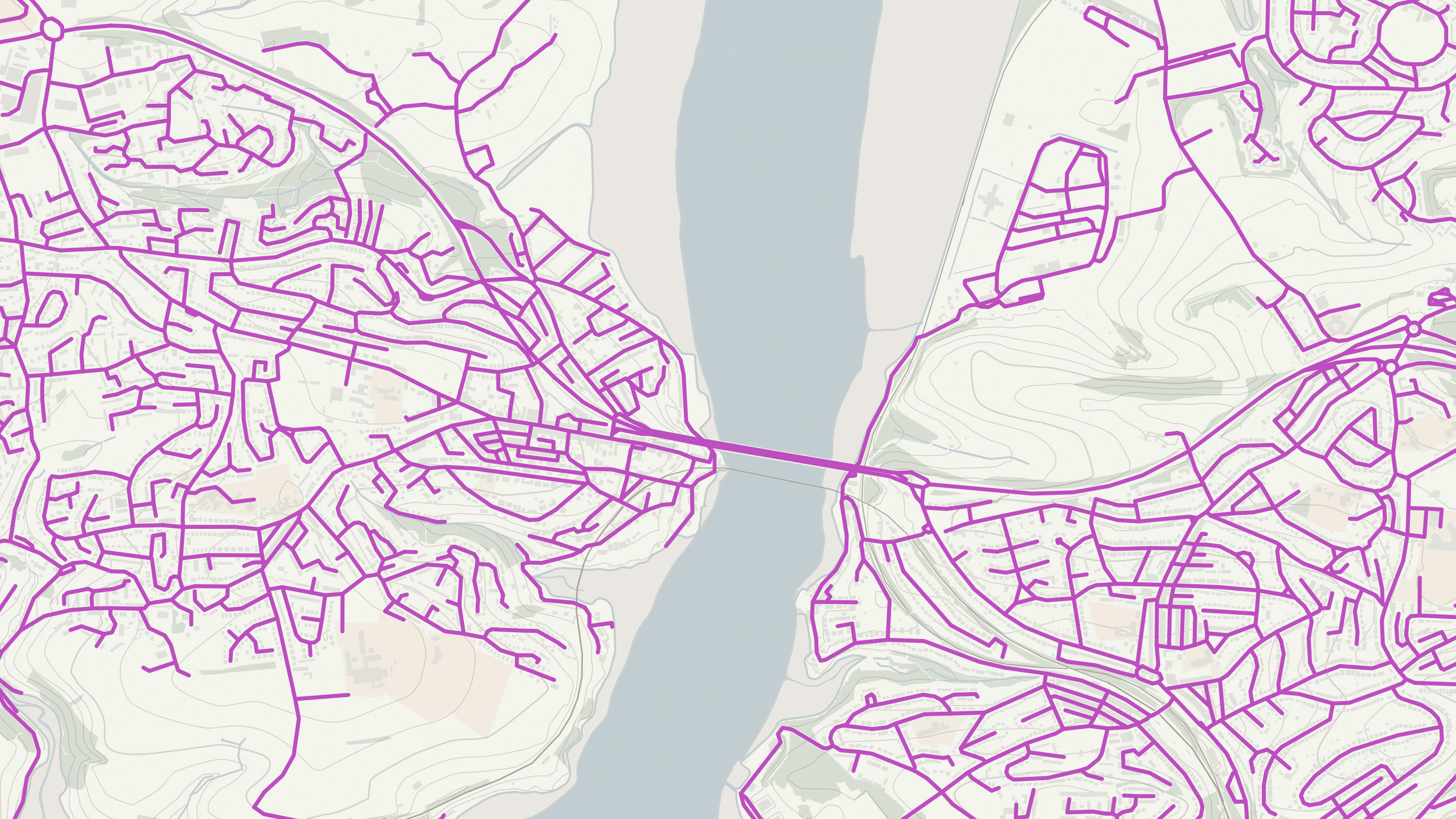
OS Open Roads

OS Open Roads is a high-level view of the road network, from motorways to country lanes in Great Britain. The links represent an approximate central alignment of the road carriageway and include roads classified by the National or Local Highway authority.

  • Networks
  • Download
  • OS OpenData Plan (FREE)
  • Premium Plan
  • Public Sector Plan

This product is updated every six months

Representation of data provided
© Crown copyright and database rights. Ordnance Survey 2025

What OS Open Roads provides you with

Capture answers to road questions

How many miles of roads are there in the country? What and where’s within 10 miles of this location? OS Open Roads lets you answer questions like these.

Work with definitive road information

By underpinning your reporting tool with OS Open Roads, you’ll give highways teams a head-start on fixing issues like potholes.

OS Open Roads

Technical information

© Crown copyright and database rights. Ordnance Survey 2025

Specifications

Use cases

The OS Open Roads product may be used for applications such as, but not limited to:

  • assigning information to the road network for both personal and business use
  • high-level analytical queries, for example, how many kilometres of road there are in Great Britain, an individual country or a region
  • simple drive time analysis, for example, what is within a 25-minute drive of any given location?
  • identifying community problems and reporting back to a relevant authority.
Access
  • Download
Data theme
  • Transport
Data structure
Vector - Topologically structured link and node network
Coverage
Great Britain
Scale
1:15 000 to 1:30 000
Format
  • ESRI Shapefile
  • GeoPackage
  • GML 3.2.1
  • Vector Tiles
Ordering area
  • All of Great Britain
Publication months
  • April
  • November
OS Data Hub plan
  • OS OpenData Plan (FREE)
  • Premium Plan
  • Public Sector Plan

Documents and Support

Technical documentation

  • OS Open Roads technical documentation
    Visit docs.os.uk to access all technical documentation for this product, including getting started guide, technical specification, release notes, and other supporting documents.
    link

OS Open Roads

Get this product

What you get

Key features
  • Capture answers to road questions
  • Work with definitive road information
Category
Networks
Access
  • Download
Data structure
Vector - Topologically structured link and node network
Update frequency
Every six months

How to access

OS OpenData is free

Ready to get started with OS data?

Take the next step by signing up to the OS Data Hub and create your first project today.

Sign up to the OS Data Hub

Get this product

Access for free and benefit from using OS data

Get help

Further support

For further help about how our data can transform your organisation, contact us today

Contact us