Challenge
To better understand care home provision across England, the Department of Health and Social Care (DHSC) wanted to make sure people can easily access a care home when they need one, without having to move far away from family and friends.
Solution
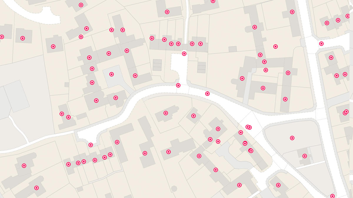
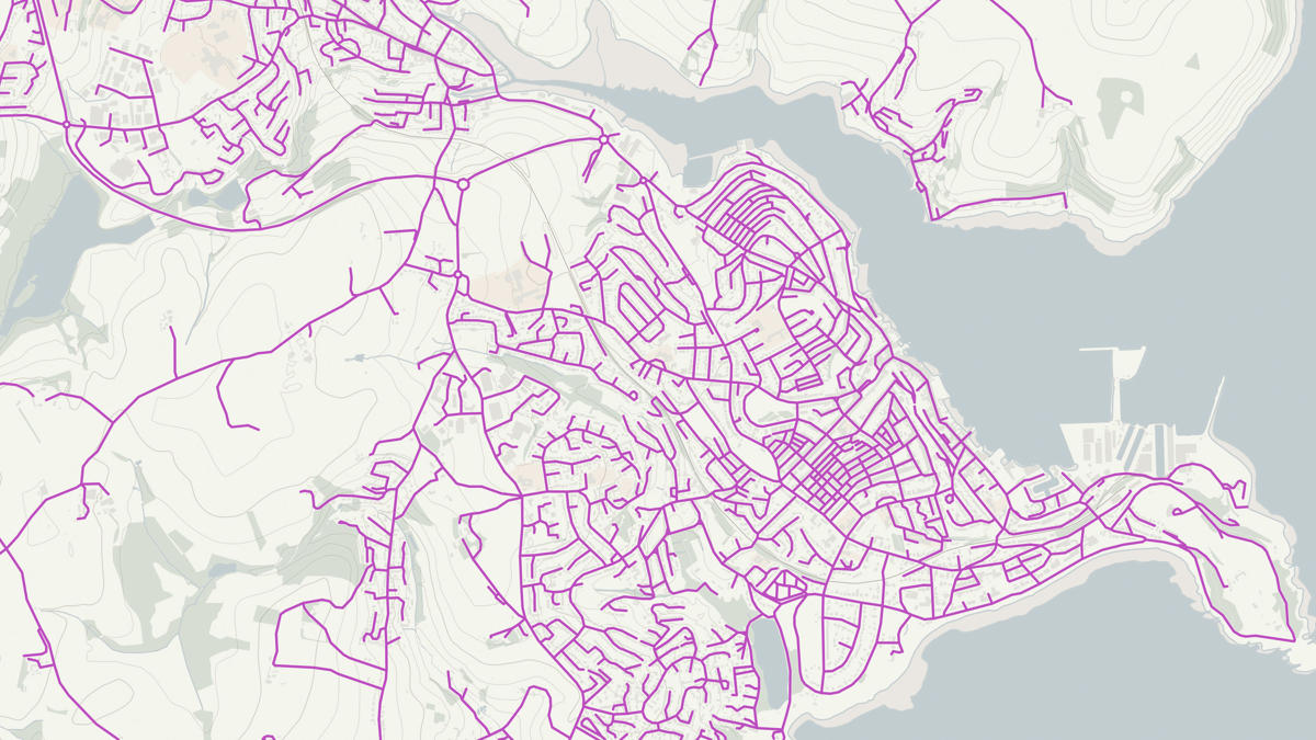
Data scientists from Ordnance Survey and DHSC worked together to develop a tool to calculate the distance from care homes to population centres, using open-source coding tools. The flexible tool uses OS AddressBase Plus and OS Open Roads geospatial data to create routes and produce driving distances, alongside ONS data on the over 65 population of each area, and Care Quality Commission data on the number of beds within each care home. Any public sector organisation can access OS data and expert help under the Public Sector Geospatial Agreement (PSGA).
Result
DHSC now have detailed data showing the driving distance from care homes to communities, giving them a much greater understanding of gaps in care home provision across different local authorities, and how far people need to travel from family and friends. To help tackle these gaps, DHSC are developing a dashboard with a map window to visualise the data for stakeholders, and plan to develop the tool with PSGA data.
"Our evidence shows that care users want to be placed in a care home within 15-20 minutes’ drive of their home address. We wanted to be able to model this distance and identify the areas of England lacking access to care homes."