Challenge
The NHS team supports many clinically vulnerable patients who had to shield during COVID-19. To reduce patients’ risk of exposure, they had to pivot from giving care in hospital and instead offer a safe and accessible mobile medical support and blood work. They work across Edinburgh, East, Mid and West Lothian.
The medical team adapted a van equipped as a mobile vaccination unit though still needed suitable places to park the mobile unit.
Each location needed:
- Enough space to park the vehicle
- Entrances that accommodated the van’s size
- Space for patients to park and wait safely – socially distanced from each other and from other members of the public
- Toilets and basic facilities for the mobile unit staff
Solution
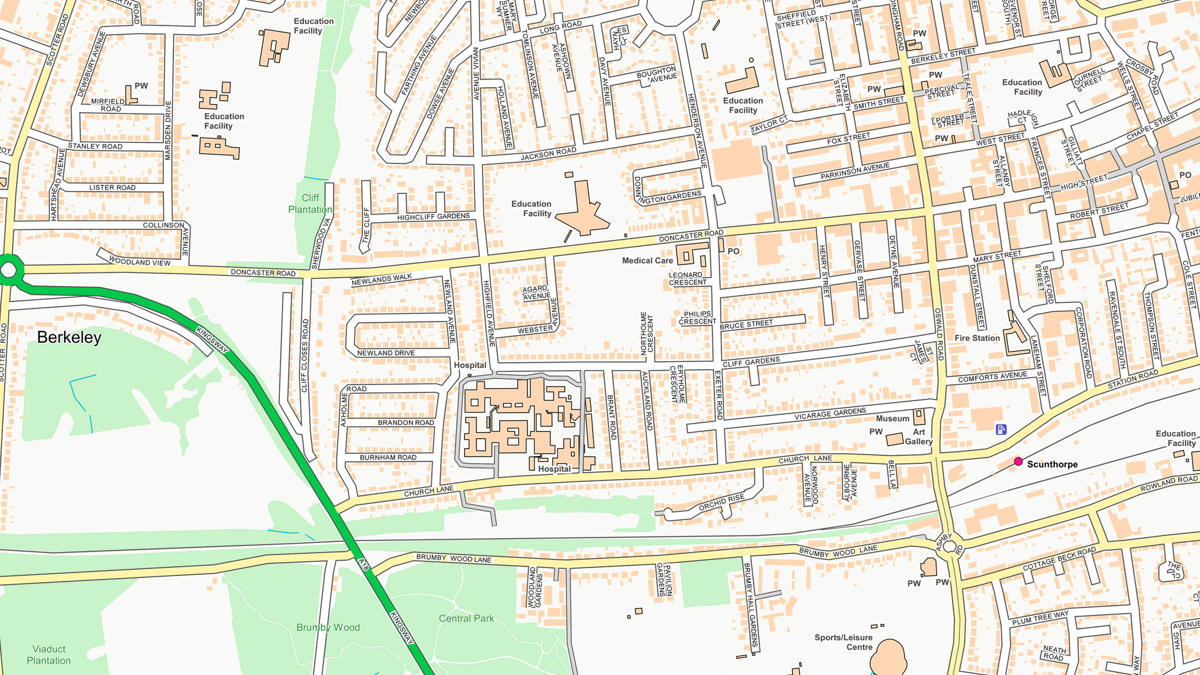
Supermarkets with car parks were a clear choice. OS mixed different datasets to show all supermarket locations and their footprints along with nearby car parks. Then the NHS Lothian GIS team narrowed the selection based on size, location, and likelihood of getting agreement from the supermarket. The team prioritised spaces that had already been used for other mobile health services – such as breast cancer screening.
NHS Lothian combined the locations with anonymised patient addresses – converted to coordinates and displayed using MapInfo software and a range of OS products (Points of Interest, OS Highways, and Open Map Local). From this, we could identify the best places to support these vulnerable patients.
OS gave its information under our well-established Mapping for Emergencies protocol – here to support Britain in times of crisis.
"The mobile phlebotomy service was greatly appreciated by the neurology team, and allowed us to continue safe monitoring of disease-modifying treatments for multiple sclerosis patients...This helped us [reduce the additional potential harm] of COVID-19 by maintaining vital services."
Result
Shielding patients, who were often worried about the risks from the coronavirus and their health condition, were reassured by the new, mobile service. They could easily get to the venue and be safely looked after by staff far away from other people. They could then have a clinical review by phone or video consult. Patients said they felt safe as well as appreciating the convenience and easy arrangements.
The medical staff were able to get blood samples for vital analysis from around 20 patients a day. This meant essential monitoring for these kidney patients and picked up problems in several patients. With timely interventions, the NHS team stopped potentially serious conditions from developing.
Indeed, the service worked so well it was extended to cover other medical specialities.
"The renal and transplant service is extremely grateful to the Ordnance Survey team who provided invaluable assistance to establish at very short notice this service which was essential to enable us to care for our clinically vulnerable patient group at a time of crisis."