Overview
Quickly identify hotspots in data like crime location or property prices. The muted colours of this detailed backdrop map let your information really stand out.
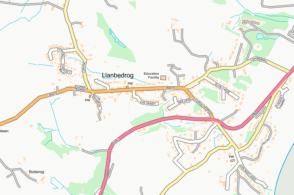
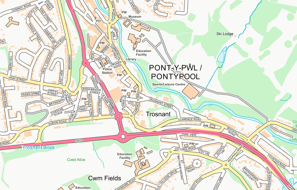
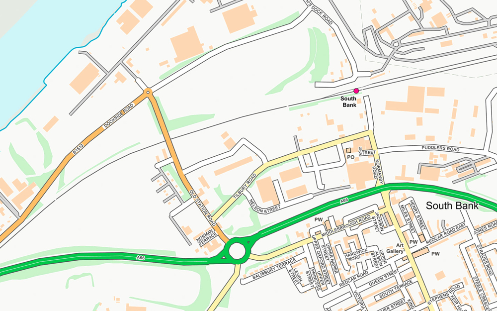
Get greater insights into land use for local planning. OS OpenMap - Local doesn't just pinpoint schools, hospital and other major facilities, it maps the grounds they occupy.
Save money and benefit from simple licensing terms. OS OpenMap - Local is free to view, download and use for commercial, education and personal purposes.
Raster version
OS OpenMap – Local includes a raster image option, carefully styled in the light of customer feedback. This is easy to load in a GIS and lets you start analysing quicker.
National set
Easily get national coverage of Britain at 1:10:000 scale. Download the vector and raster versions of this data as single zip files. if you only need a smaller area, we’ll still offer the single-tile option.
Private roads and tracks
To help you navigate around Britain, we’re adding more names, such as those of isolated homes and farms, and roads, both public and private. This detail comes into its own in rural and suburban areas.
How to get this product
Our open data products are covered by the Open Government Licence (OGL), which allows you to:
- copy, distribute and transmit the data;
- adapt the data; and
- exploit the data commercially, whether by sub-licensing it, combining it with other data, or including it in your own product or application.
We simply ask that you acknowledge the copyright and the source of the data by including the following attribution statement:
- Contains OS data © Crown copyright and database right 2022
- Where you use Code-Point Open data, you must also use the following attribution statements:
- Contains Royal Mail data © Royal Mail copyright and Database right 2022
- Contains National Statistics data © Crown copyright and database right 2022
Technical specification
| Key Features | What this product offers |
|---|---|
| Format | Vector – GeoPackage, ESRI Shapefile, GML 3.2 Simple Features, and Raster – GeoTIFF with LZW compression |
| Tile size | Vector – 100km x 100km; Raster – 5km x 5km |
| Attributes | Thematic layers, including buildings, roads, sites, railways, hydrology, coastline, woodland and cartographic text |
| Scale | The nominal viewing scale is 1:10 000, with a recommended viewing scale range of 1:3 000 to 1:20 000 |
| Update frequency | Six monthly (April and October) |
| Supply | Online download only |
| Coverage | Great Britain |
| Support documentation |