OS OpenMap Local
What OS OpenMap - Local provides you with
Identify hotspots in data
Quickly identify hotspots in data like crime location or property prices. The muted colours of this detailed backdrop map let your information really stand out.
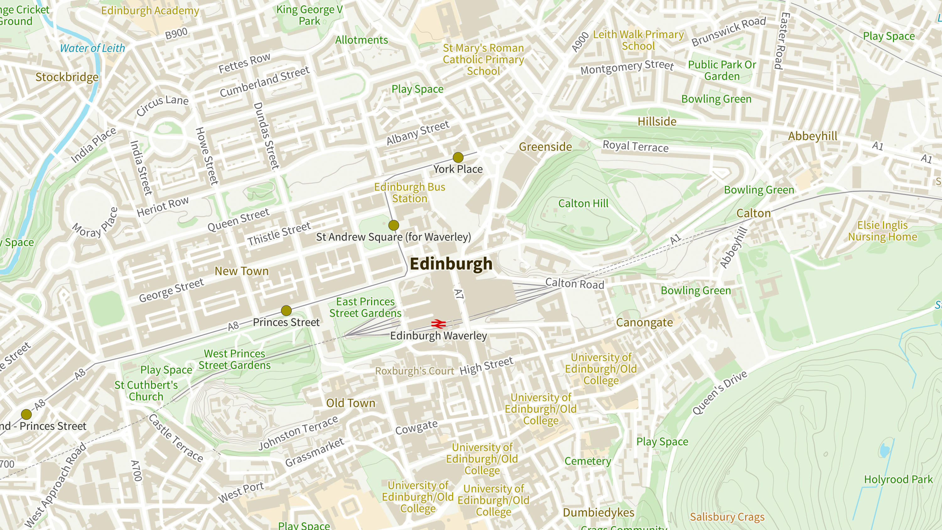
Insights for local planning
Get greater insights into land use for local planning. OS OpenMap - Local doesn't just pinpoint schools, hospital and other major facilities, it maps the grounds they occupy.
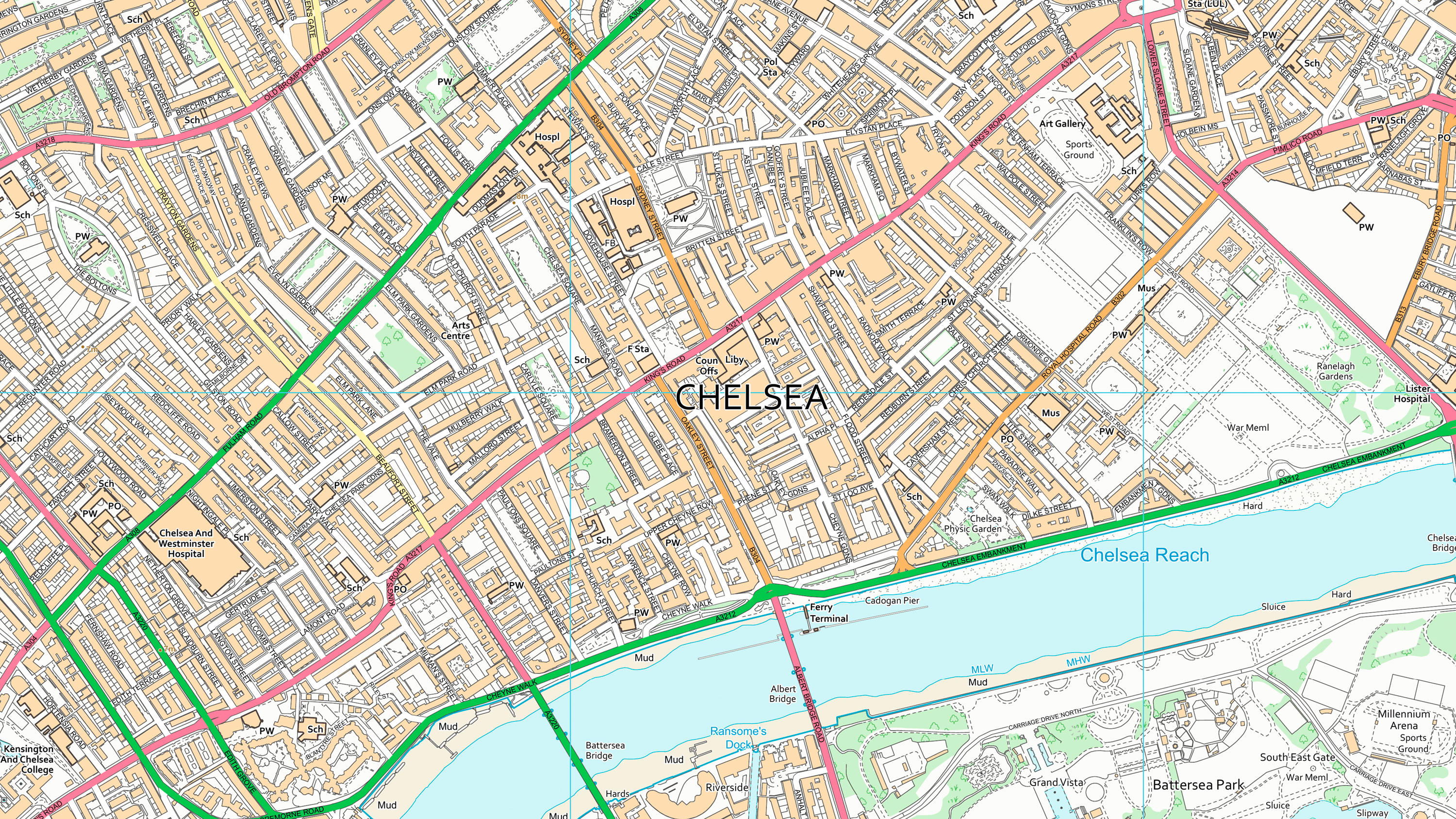
Raster version
OS OpenMap – Local includes a raster image option, carefully styled in the light of customer feedback. This is easy to load in a GIS and lets you start analysing quicker.
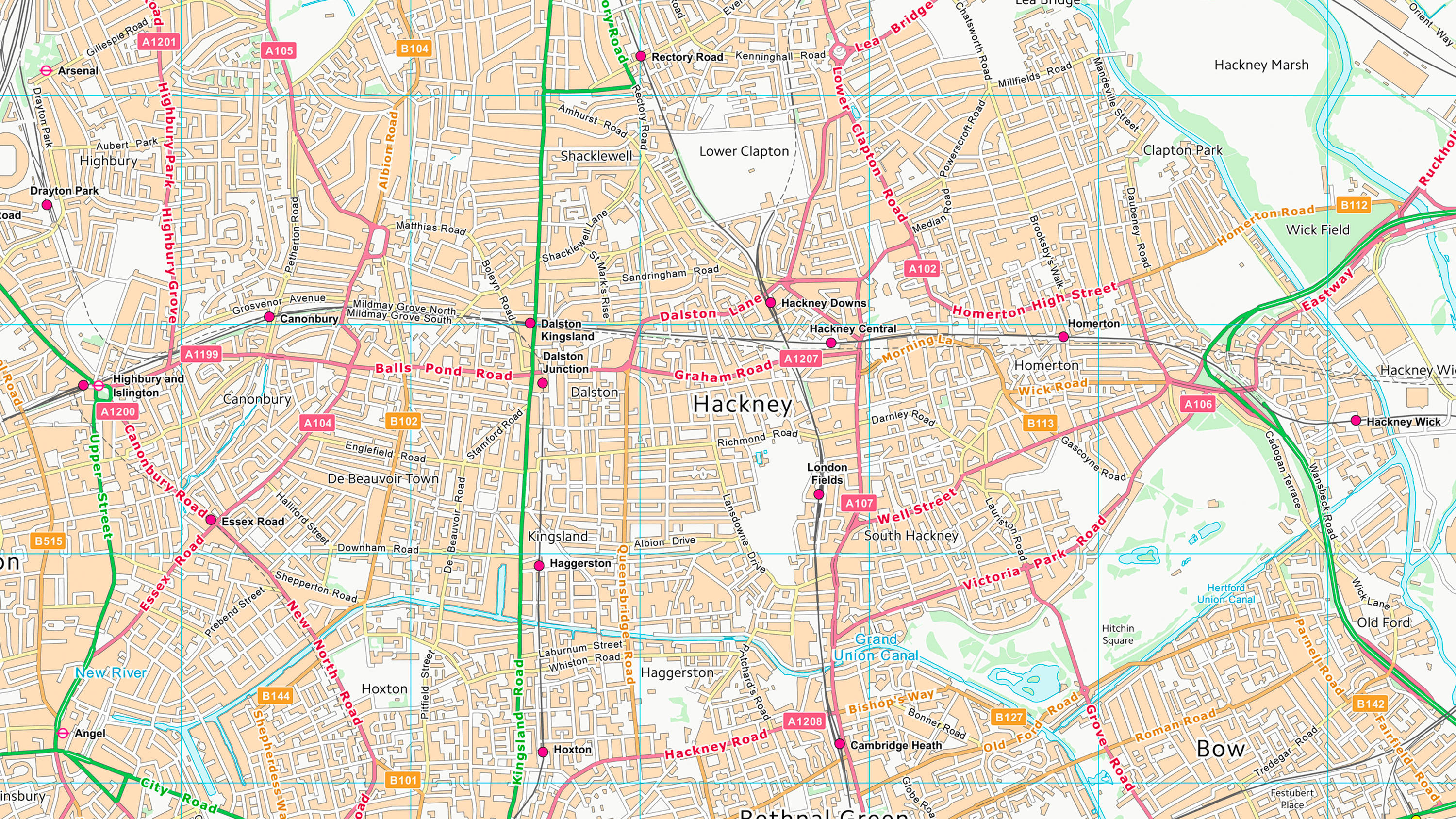
Private roads and tracks
The mapping contains the names of isolated homes and farms, and roads, both public and private. This detail comes into its own in rural and suburban areas.
Use cases
- Widely used by Local Authorities for refuse collection, route planning and active travel.
- Use as a backdrop for heatmaps and thematic overlays.
- Embed maps into websites and dashboards.
Related products
OS VectorMap Local
OS VectorMap Local is a highly-detailed, customisable, street-level map, showing fences, building outlines, paths and street names.
OS VectorMap District
OS VectorMap District is an open basemap to overlay and visualise your own information on.
OS Open Zoomstack
Ordnance Survey's OS Open Zoomstack is an open vector basemap showing coverage of Great Britain from a national level, right down to street detail.