Explore mapping data relating to addresses, UPRNs, named features, and places. Discover address details, postcodes, identifiers and features.

OS data download and API products
Discover our geospatial data products and services
Choose the data that's right for you
Use OS data products in your Geographic Information System (GIS) to view and analyse map data. Our open data and premium data works in a range of mapping software including ESRI ArcGIS, QGIS, Mapbox, MapInfo, Tableau, Kepler.gl and many more.
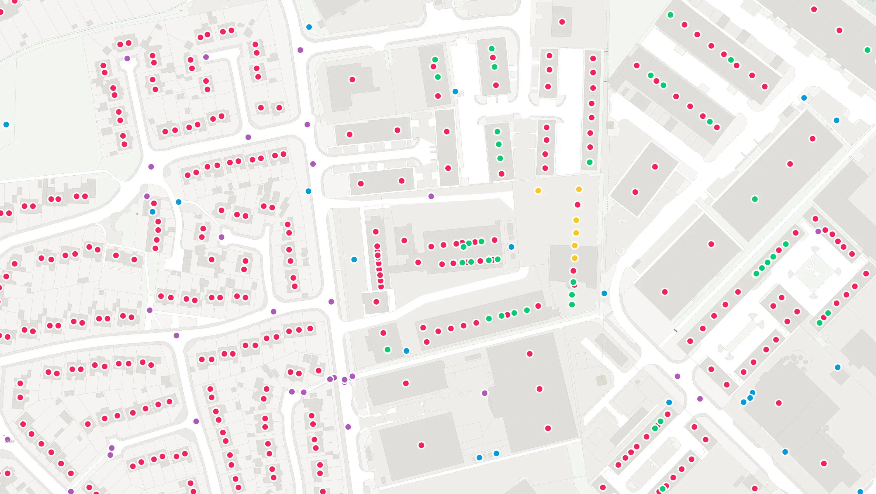
Addresses and names

Maps and imagery
Explore mapping data designed to provide visual context and simple analysis. Discover raster maps, imagery and topography layers.
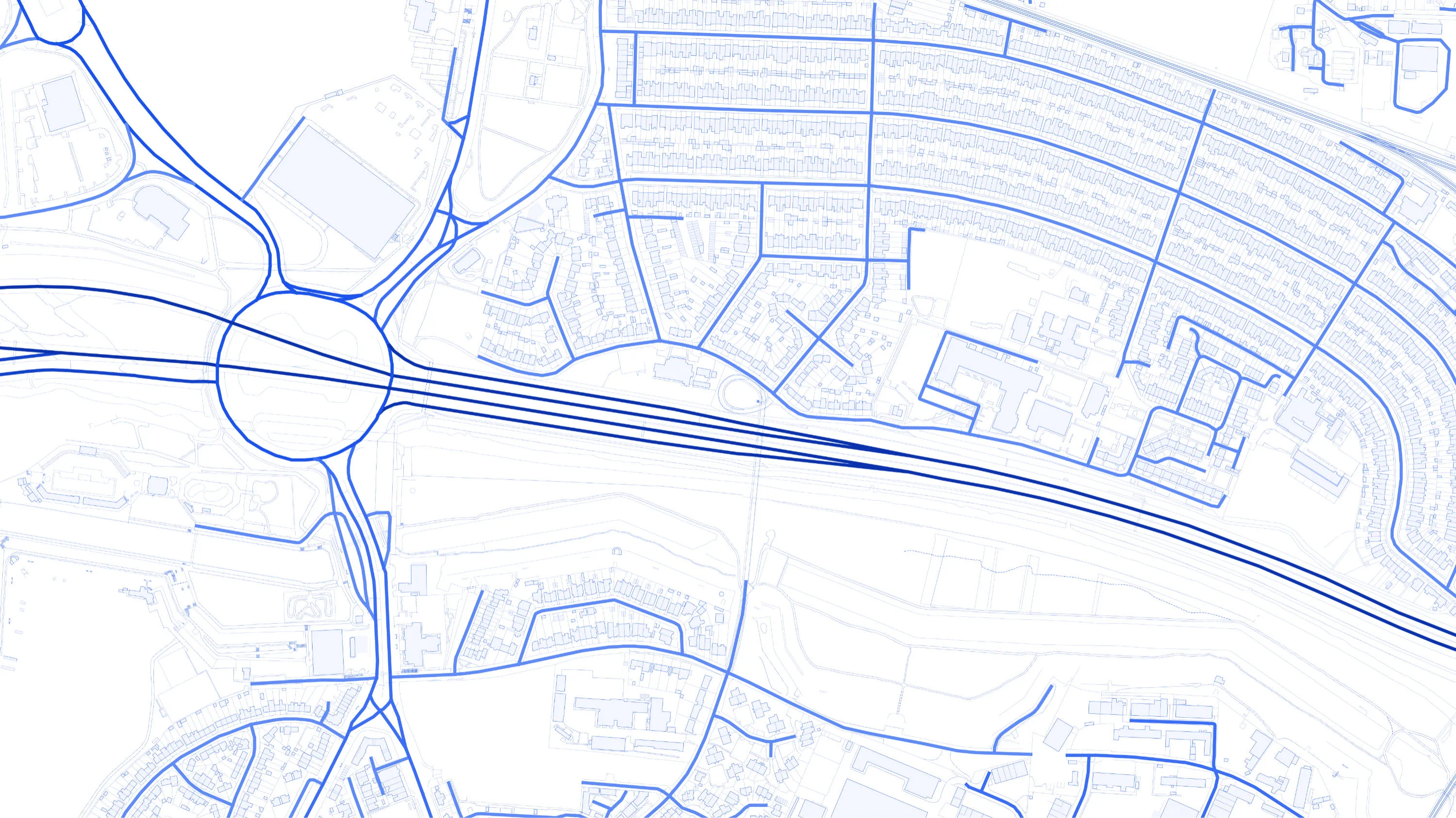
Transport networks
Explore mapping data designed to provide information about roads, paths, trams, ferries and railways. Discover networks, features and identifiers.
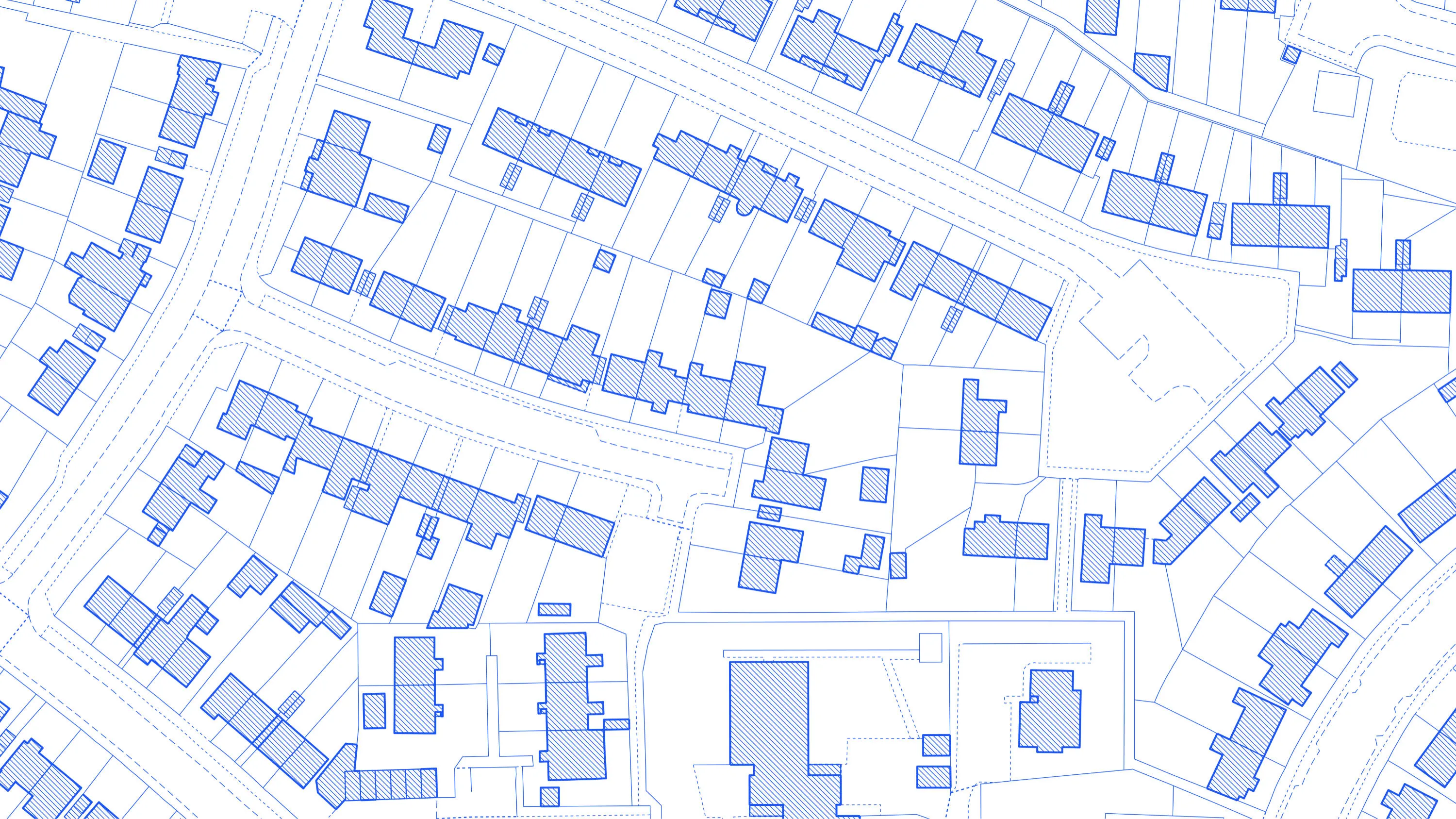
Buildings and infrastructure
Explore mapping data designed to provide information about the built environment. Discover building and structure features, identifiers and topography layers.
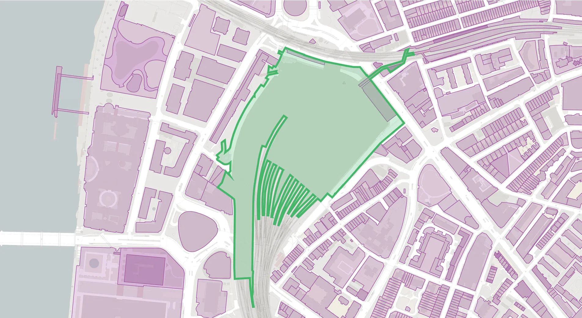
Land and terrain
Explore mapping data designed for land cover, land use and elevation. Discover features, greenspace and topography layers.

Water
Explore mapping data designed for water bodies, tidelines and river networks. Discover features, identifiers and topography layers.
Areas and zones
Explore mapping data designed to provide information about areas used for administration and analysis. Discover postcodes, boundaries and built up areas.

OS Net positioning data
Discover OS Net data, providing Global Navigation Satellite Systems (GNSS, previously referred to as GPS) data.

Access OS data via third-party platforms
Access OS data on Snowflake, a global data platform that enables organisations to access, combine, and analyse datasets
View OS datasets available on SnowflakeSee how others are using OS data
Read case studies from our valued customers who demonstrate the impact OS data has for a range of challenges and uses.

ESRI UK mapping app protects York from floods
York City Council’s flood team can now easily record, share and visualise gully...

Mapping at the Met Police
The Metropolitan Police is the UK’s largest police force. It polices 620 square...

BT connected to UK mapping data
Supporting BT's fast-growing Northern Ireland network with mapping data. BT’s...
Get started with OS data
With over 20,000 updates to our databases every day, access a comprehensive and up-to-date set of authoritative data through the OS Data Hub
Already have an account? Sign in
OS product roadmap
View our key deliverables for product enhancements and withdrawals, OS National Geographic Database and the OS Data Hub.
Data product support
Visit our product support page to access useful product and technical guidance to help you use OS data products successfully.