Challenge
Without joined-up data to get an overall picture of their network, Transport for West Midlands didn’t have the granular highways information they needed for accurate decision-making.
Transport for West Midlands had to rely on physical site visits, which were costly and time-consuming to develop infrastructure projects. They had tried to carry out this work remotely, but without the methodology to produce the detailed data they needed, they were limited in their early work to analyse infrastructure sites.
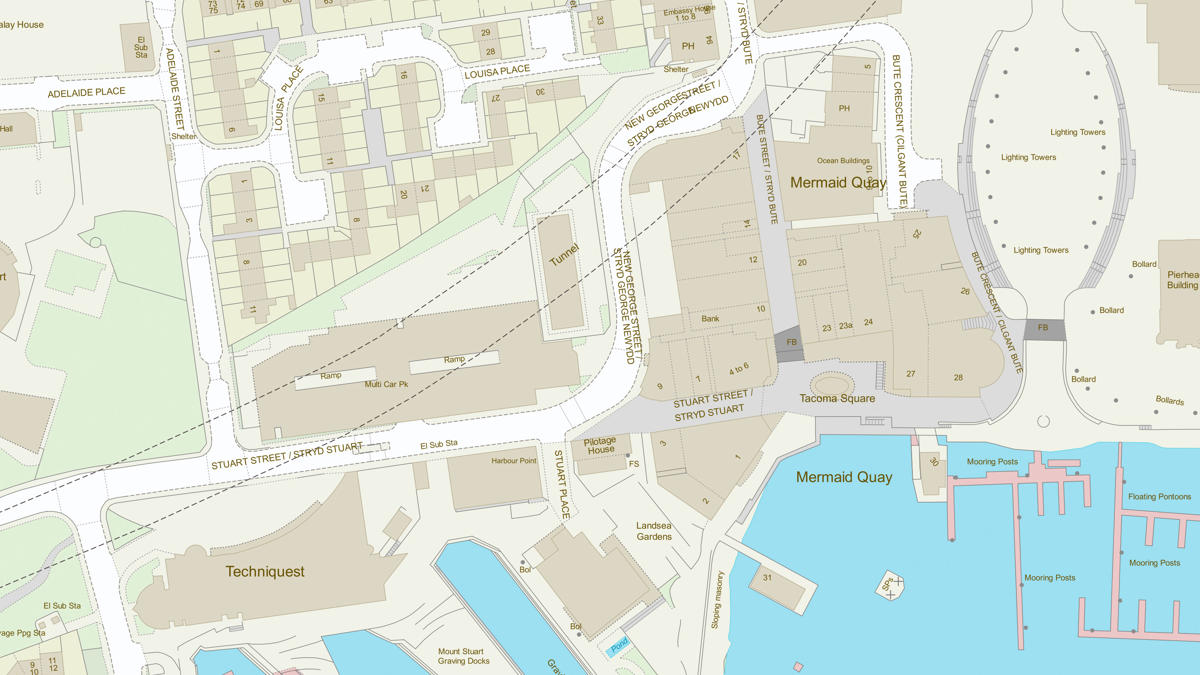
To deliver on this challenge, Transport for West Midlands worked alongside a technical specialist from OS to create an innovative methodology for producing the data they required, underpinned by a range of OS data products including OSMM Topography Layer, OS Open Roads, AddressBase Premium and OSMM Highways.
It was also agreed that an OS technical specialist would be seconded into TfWM for three months to deliver this project.

Solution
The engagement with OS has enabled Transport for West Midlands to use OS data products to understand the geography of their network for road space reallocation, active travel planning, and other transport planning schemes such as emergency vehicle routing.
The methodologies developed will be supporting future TfWM projects in numerous ways - from identifying detailed street scene widths at 1 metre intervals, to understanding the road space available, highlighting the differing street gradients, and showing the optimal locations for mobility hubs.

Result
This project will allow Transport for West Midlands to work more efficiently, saving them time and money, reducing site visits, significantly improving decision making, and helping them work towards their goal of creating a world-class transport system.
"Detailed digital analysis enables problems to be identified earlier and avoided, transport schemes to be designed efficiently and, crucially, costs saved. Ordnance Survey expertise allowed us to unlock the power of the data."